Another weekend and another walk. In contrast to a previous walk which was themed with mud, this walk was themed with hot blistering sun and dust! Back to the Tottenham Marshes and the start near Northumberland Park.
On this hos day lots of family groups were making the most of the weather, occupying the flat, shady spots along the edge of the river.
The path starts on the western side before crossing over at Chalk bridge.
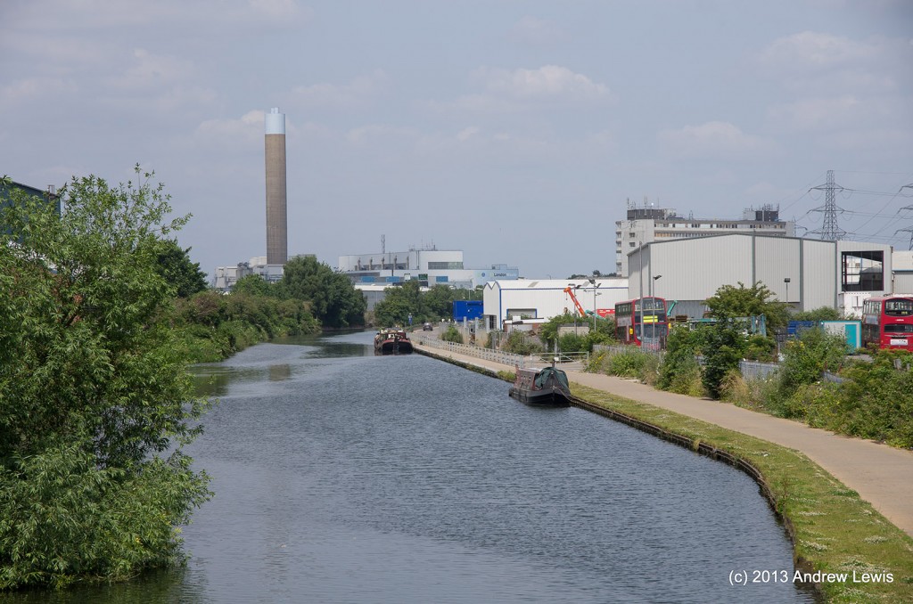
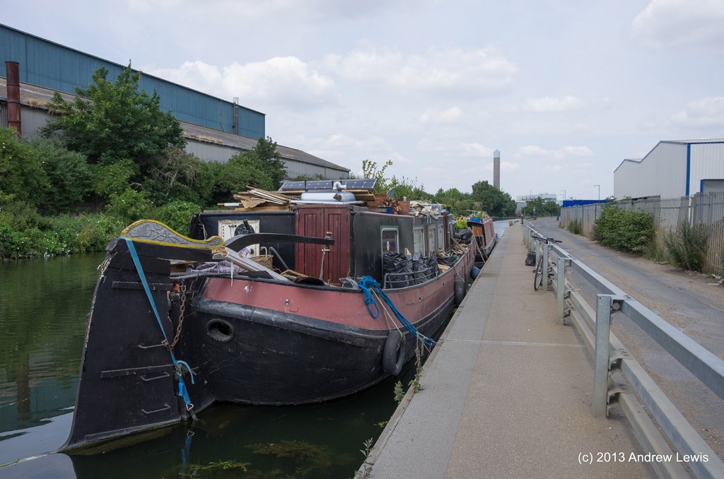
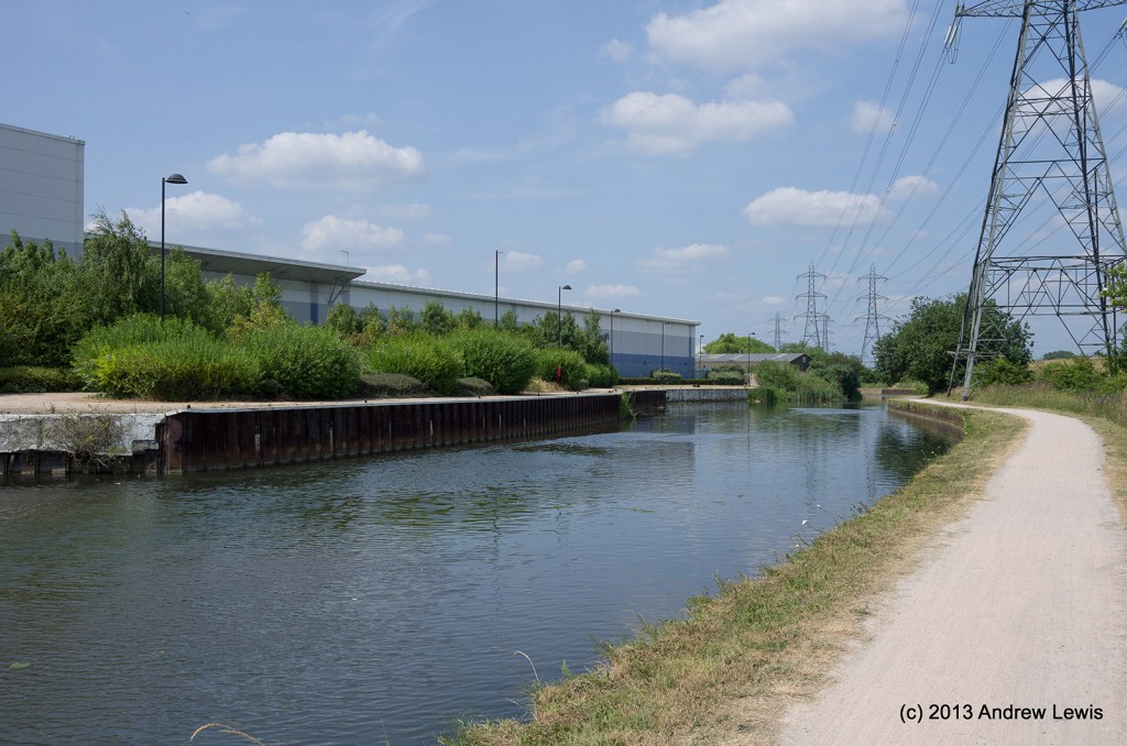
Edmonton’s industrial estate comes into view after the marshes.
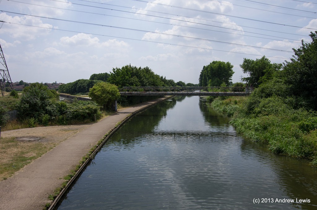
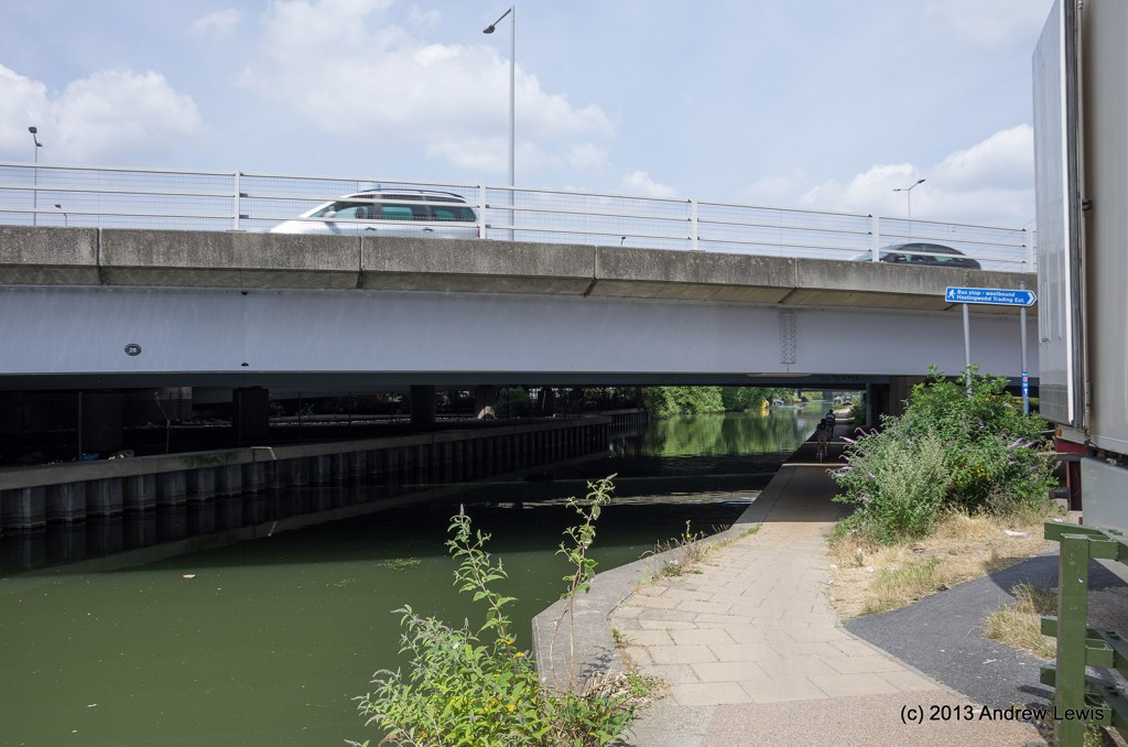
This is followed by the first of a series of road bridges, the last one being the bridge carrying the M25 motorway.
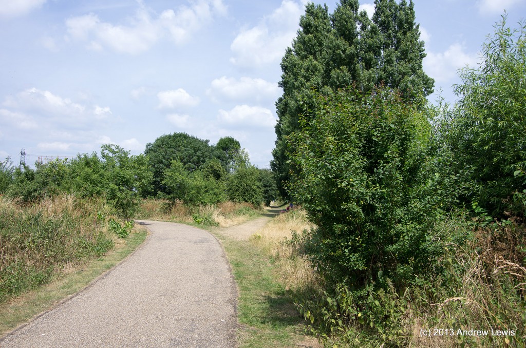
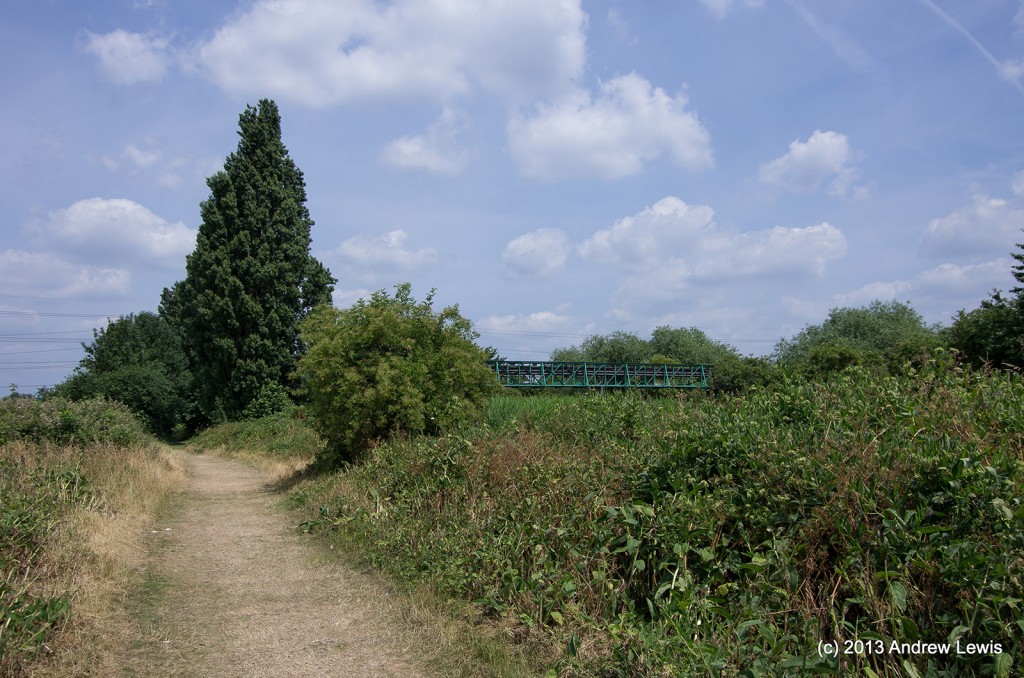
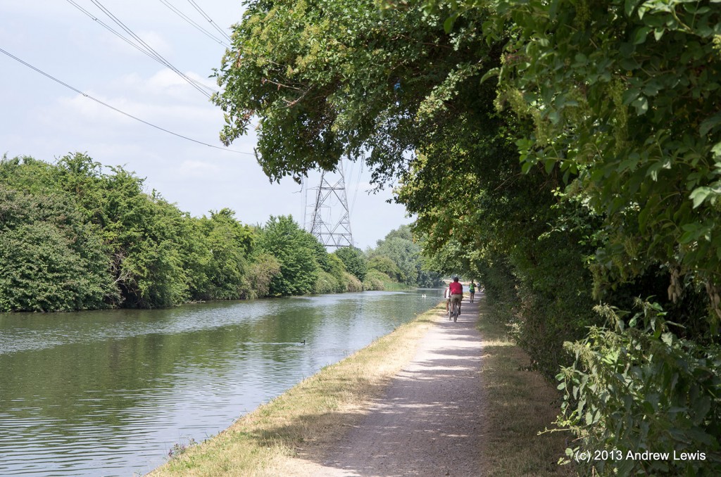
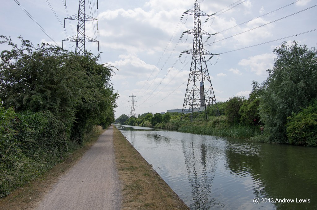
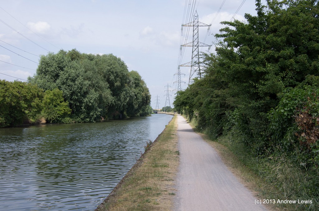
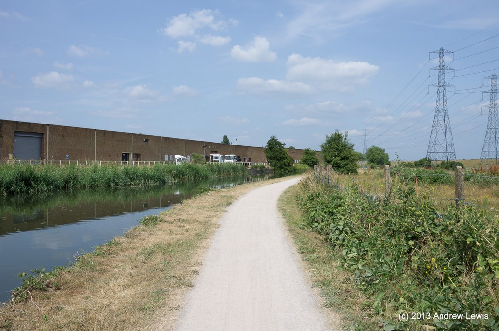
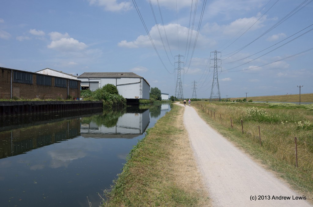
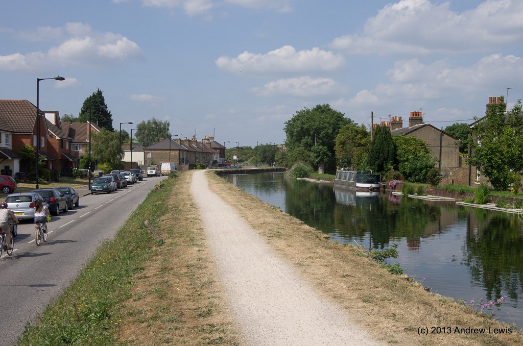
The dusty theme starts almost immediately after leaving Edmonton. The concrete gives way to dusty gravel that was stirred up by the tyres of the cyclists using the footpath on this hot summer day.
The path beside the river has earthen embankments to the east where it runs alongside several reservoirs.
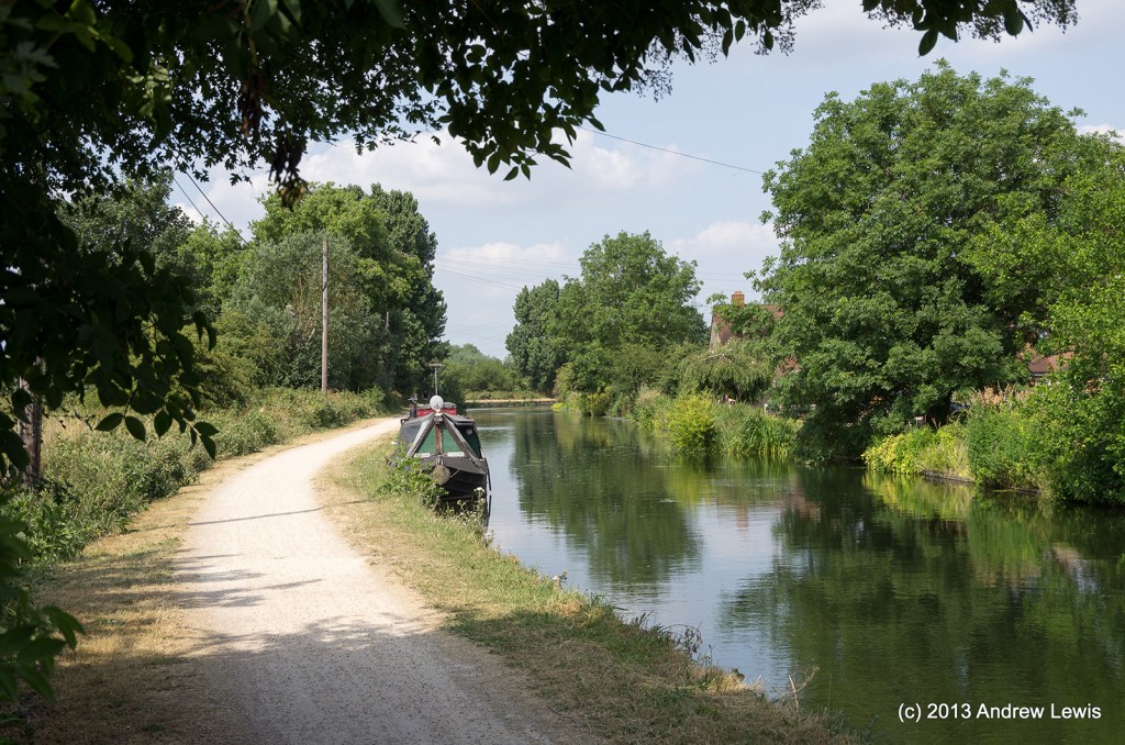
There are long straight sections of path, and the occasional shade from an overhanging tree was most welcome.
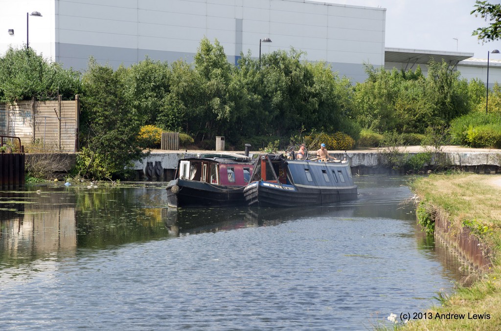
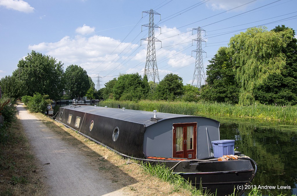
Pickett’s Lock was fairly quiet, and indeed, there was hardly any traffic moving on the river today.
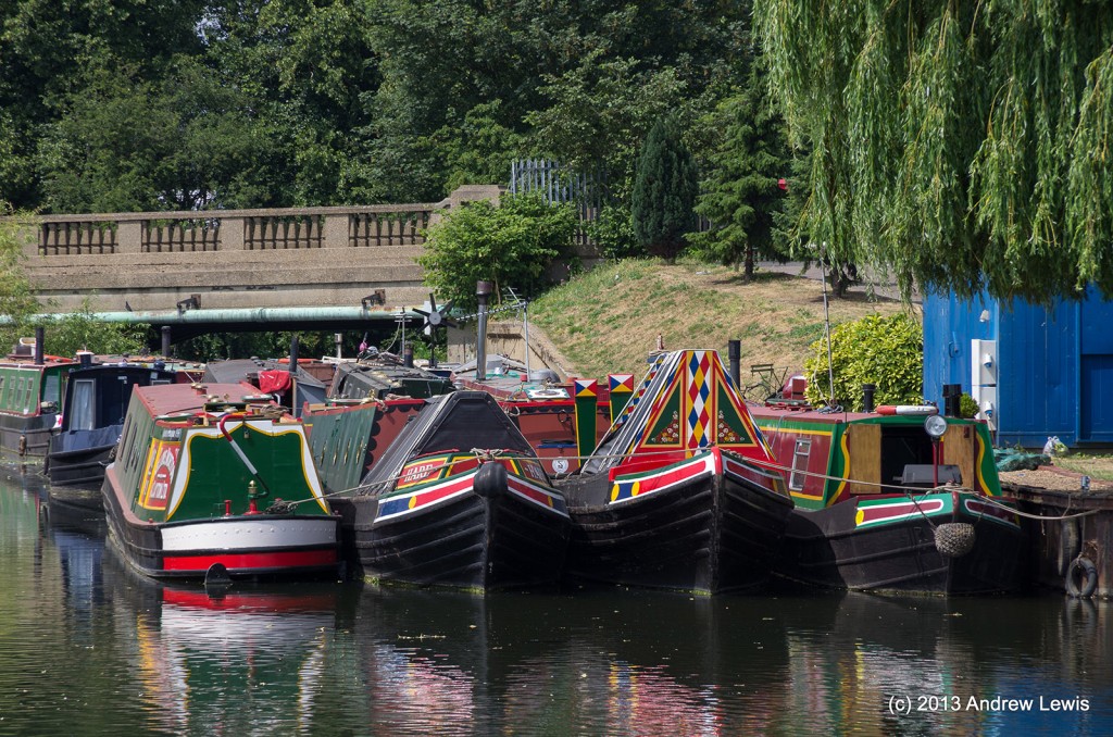
Even the Ponders End moorings were quiet and deserted.
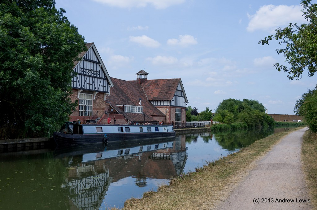
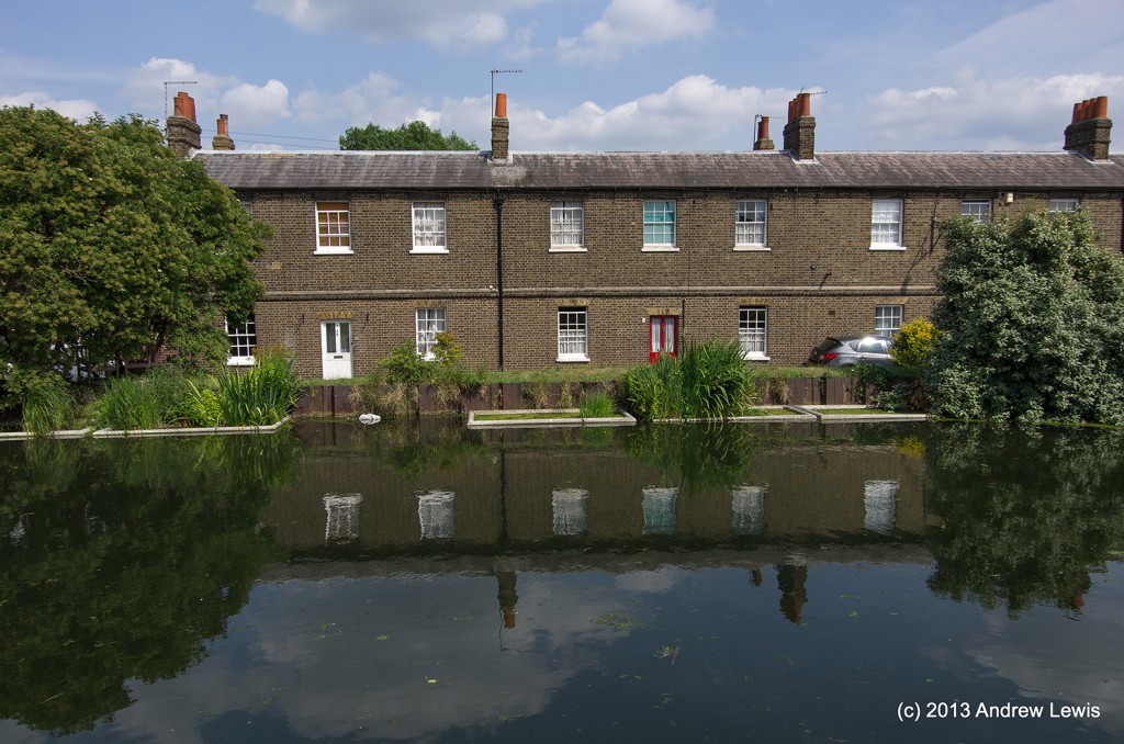
Just after the locks at Ponders End a magnificent brick and timber building comes into view – the Navigation Arms. Tempting as it was on this hot day I resisted backtracking to the nearest bridge to cross for a refreshment. But the idea did seem appealing and was lingering in my head for the rest of the walk.
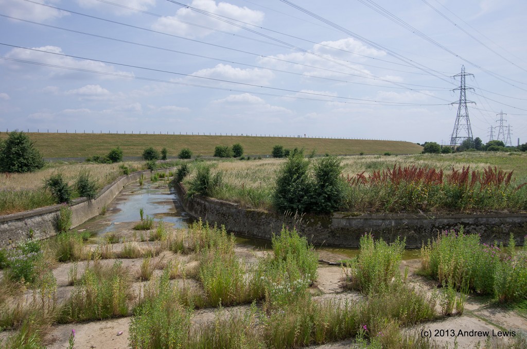
Several water channels both full and dry intersect the river and there are drainage channels leading to/from the reservoir.
This was probably the driest hottest part of the walk, about 2/3 the way through as there was very little shade.
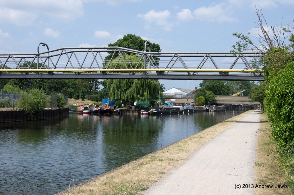
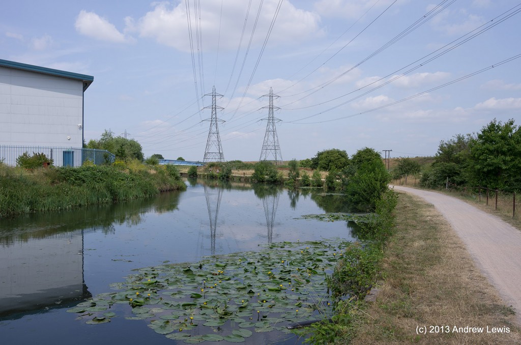
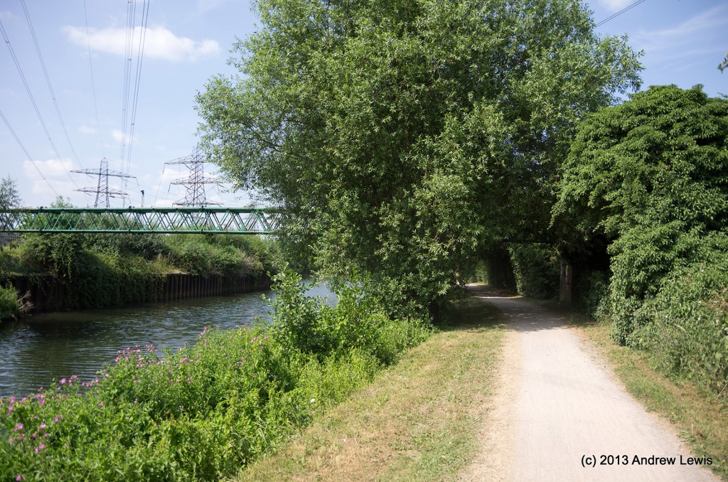
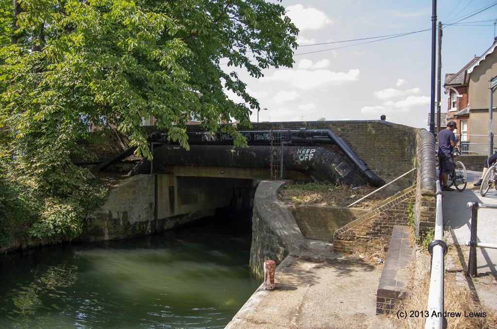
Eventually, after a few wiggly sections, the path approached a pair of trees beside a pipe bridge where a quick rest in the shade was needed.
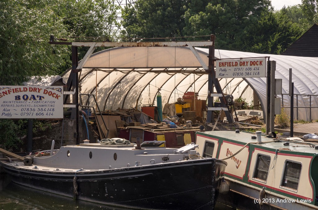
Enfield dry dock was silent – too hot to work on boats today.
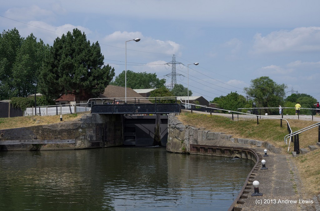
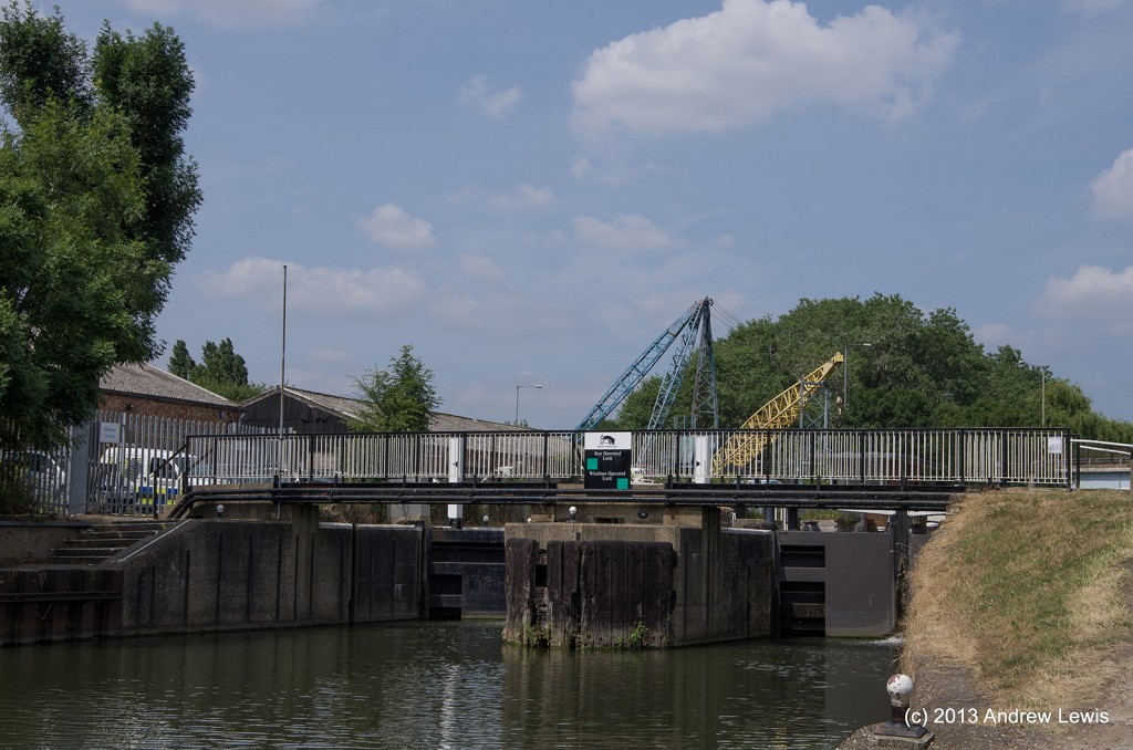
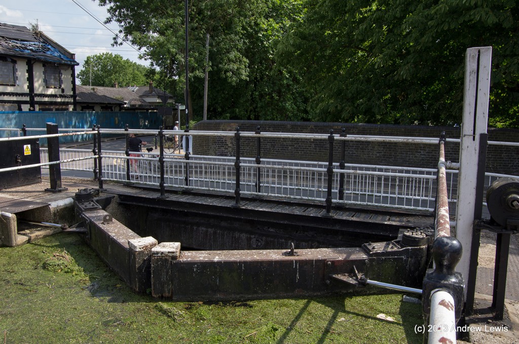
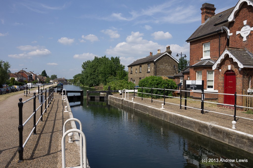
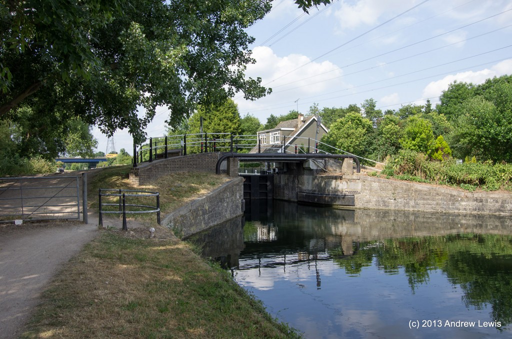
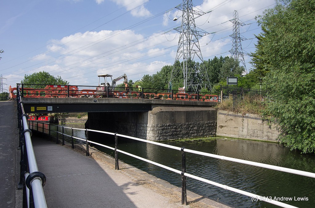
The lower end of Enfield lock is a little out of the ordinary as there is a road bridge immediately after the lower gates
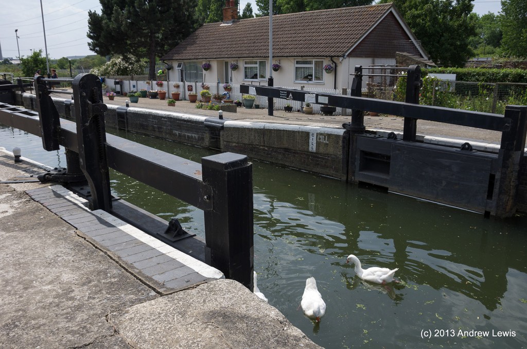
By the look of the water in the lock, it had not been used recently.
North of the lock the river runs in a slight embankment for a while.
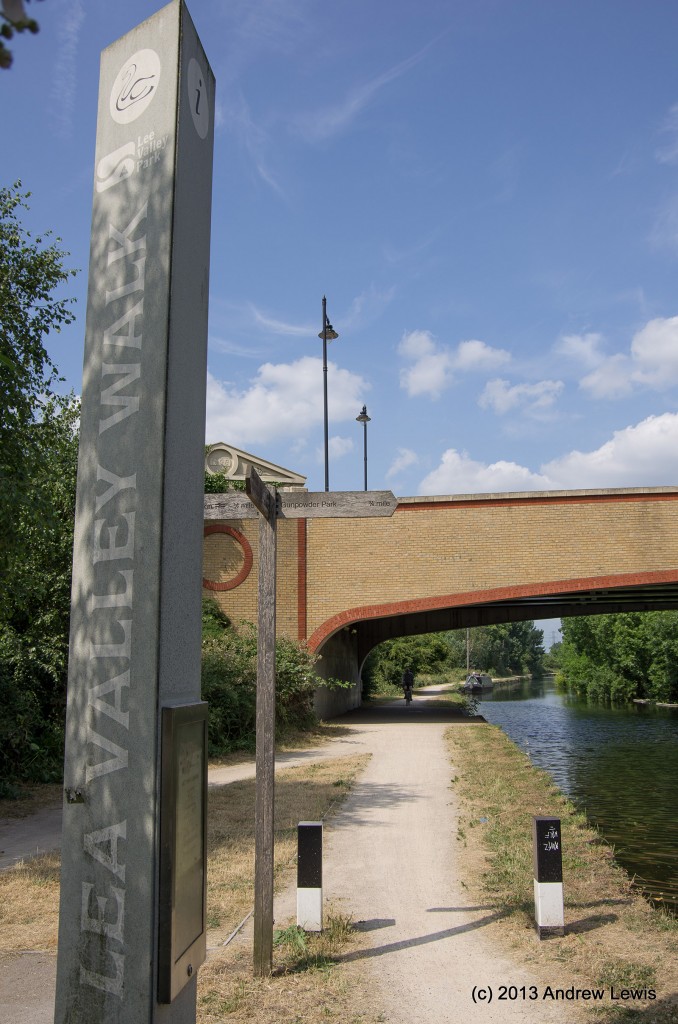
A new bridge stands beside the sign pointing out that this is the Lea Valley walk.
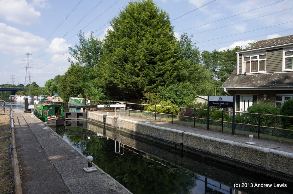
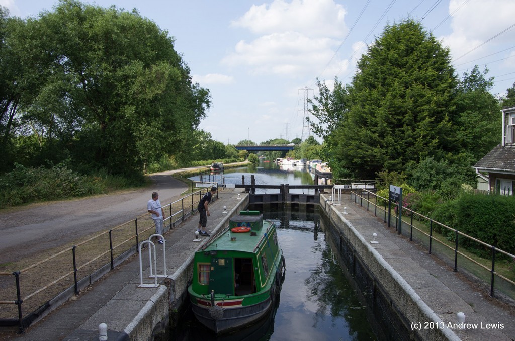
The third active water craft was seen at Rammey Marshes lock.
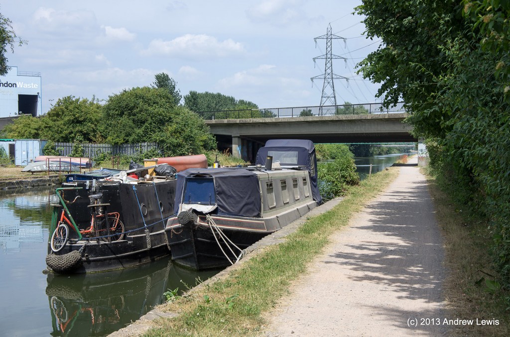
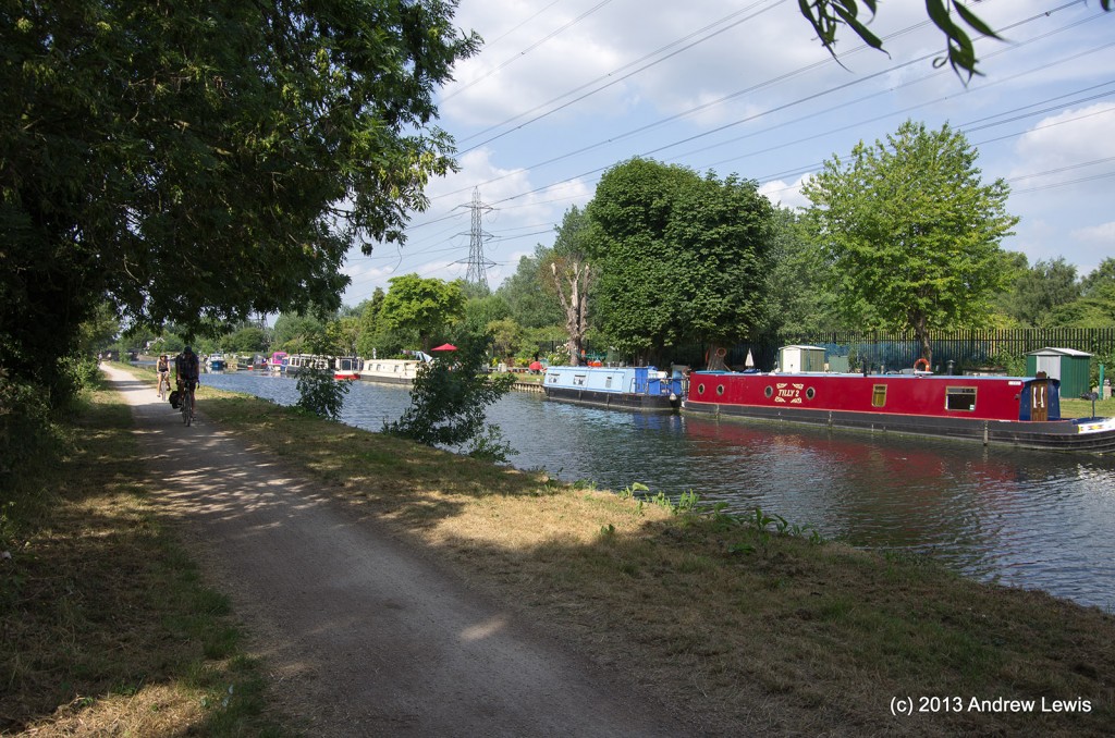
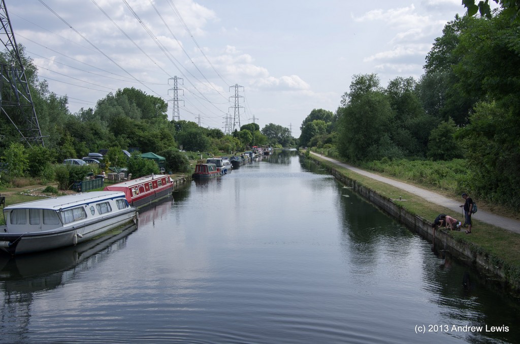
Even the owners of the boats to the south of the lock were sheltering away from the heat, despite inviting green lawns and parasols.
North of Rammey lock, several people were enjoying the river, engaging in canoeing, boating and rafting. A reminder that the Olympics White Water course is nearby.
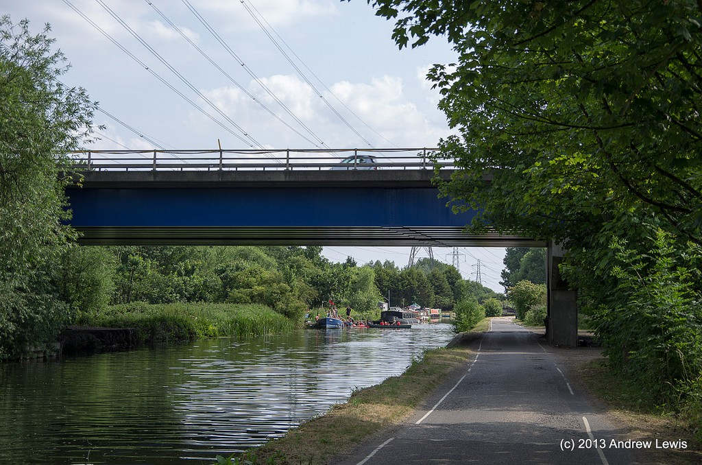
Eventually the sound and then the sight of the M25 motorway, crossing over the river, greet the walker and signal that this section of the walk is nearly complete.
Another 100 m and bridge 42 and Waltham come into view. Time to ascend form the towpath and seek cool refreshment in a nearby pub. Had to walk a bit though to find one! Then back on the train and home.
Total distance: 11.86 km (7.4 mi)
Total time: 2:51:35
Moving time: 2:38:42
Average moving speed: 4.48 km/h (2.8 mi/h)
Max elevation: 82 m (268 ft)
Min elevation: 36 m (118 ft)
Elevation gain: 282 m (925 ft)
Max grade: 10 %
Min grade: -14 %
View Northumberland Park To Waltham in a larger map

