So, here we are again, another weekend, and another section of the Thames awaits. Unfortunately this weekend the weather alternated from cloudy to drizzle to sunny, so the pictures this week are not so great. Also the landscape of this part of the Thames shows sharply the transition from the capital river to an industrial river. The other theme for this walk is mud – lots of mud !
As usual, click on a photo to see it full size.
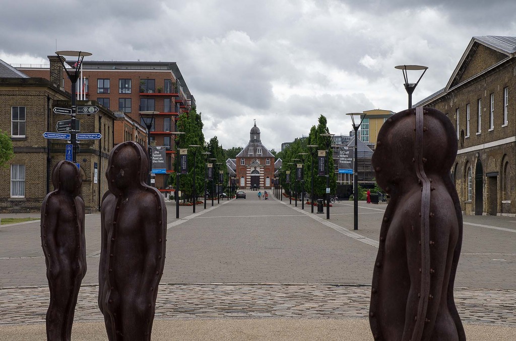
The walk starts at Woolwich pier. Last time I was here it was late afternoon sun – today – cloudy.
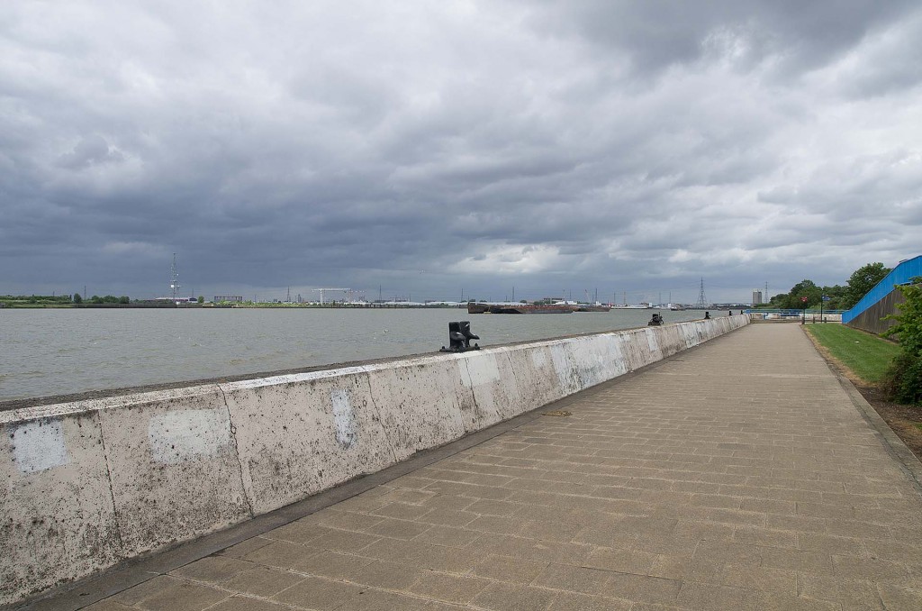
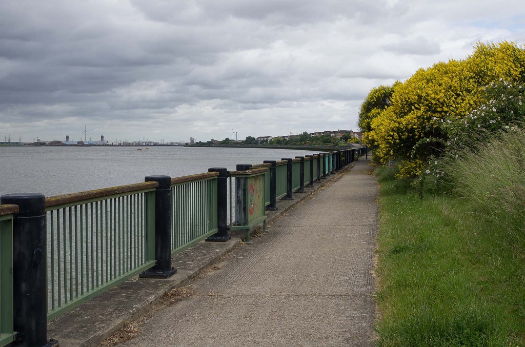
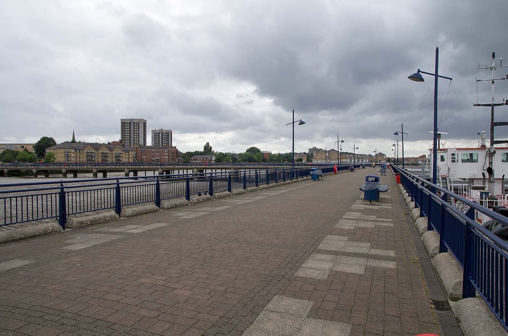
Simple paving and a concrete railing start the walk to the east.
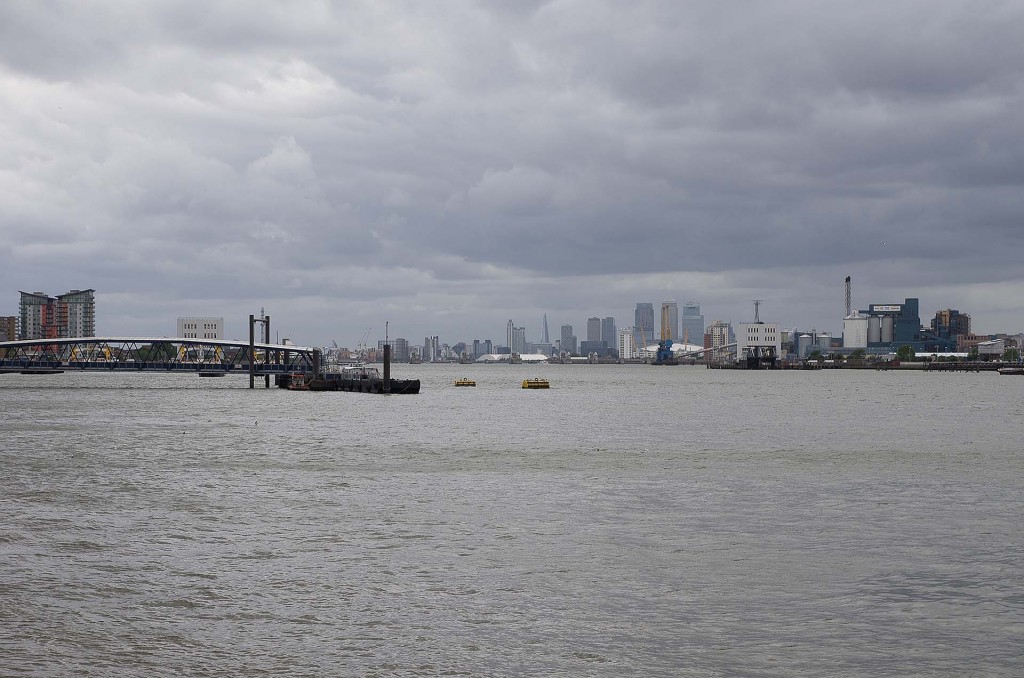
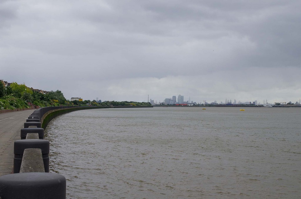
Looking west, the City of London is already distant.
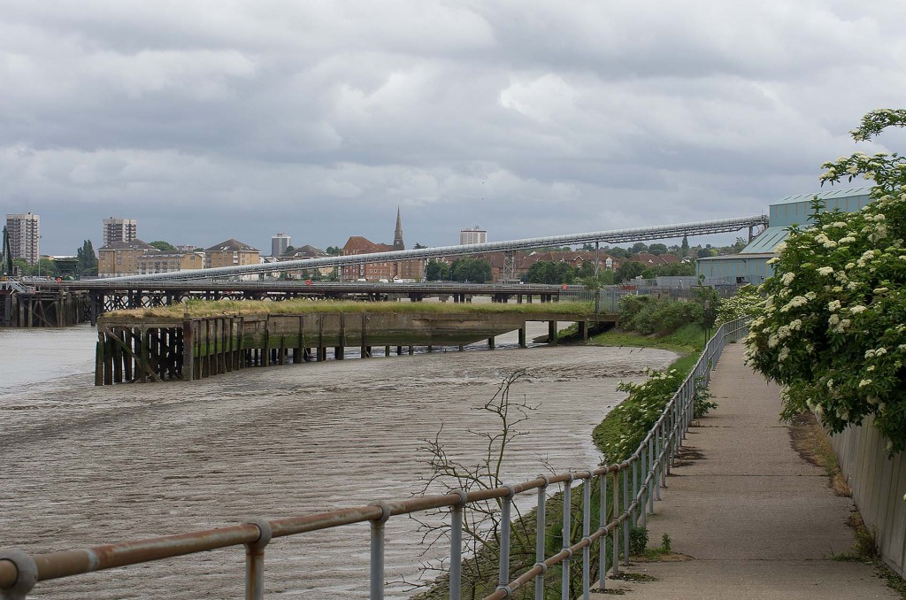
It does not take long before the landscape changes from modern flats and renovation to a more industrial theme.
Not so many walkers on this part of the Thames Path.
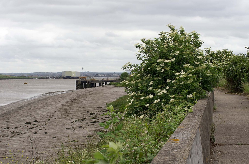
A little further and some vegetation is found atop the man made waterline.
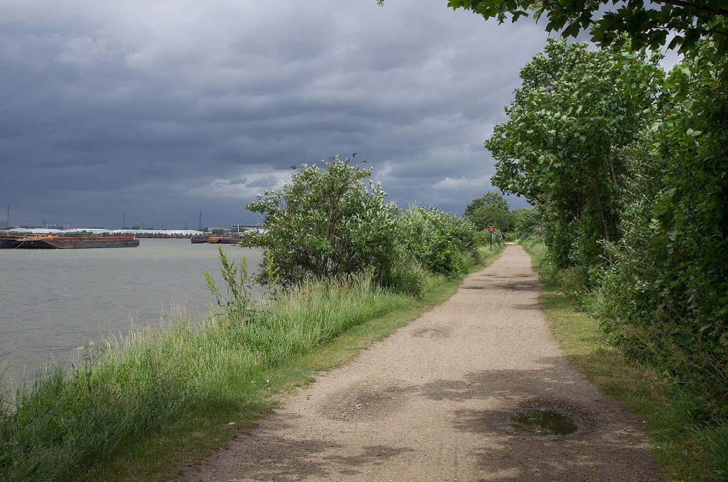
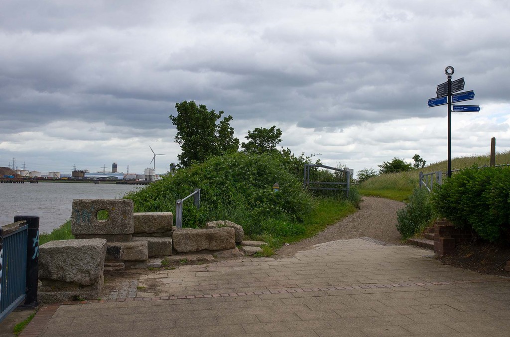
The paved path comes to and and and transitions to gravel in amongst bushes on one side and outcrops of vegetation on the other. At various points the path splits into an upper path intended for cyclists and a lower path for walkers.
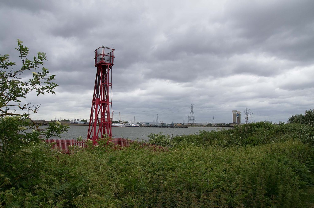
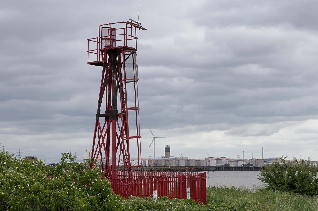
The light house at Tripcock Ness nestles amongst overgrown bushes.
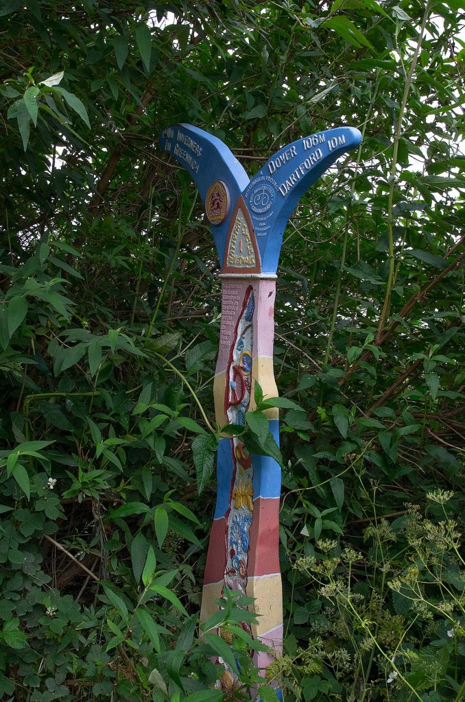
Colourful distance posts mark the way.
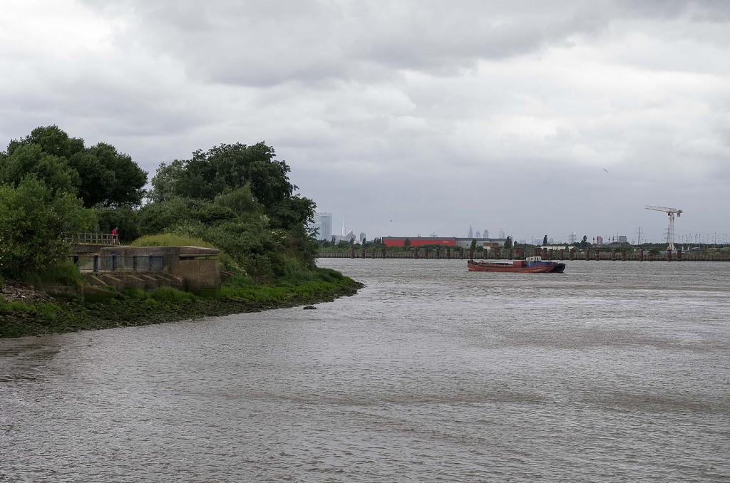
A WW II pillbox looks over the river.
At several stages the walk swaps between gravel paths and paved areas.
As second light house can be found on the approach to Cross Ness.
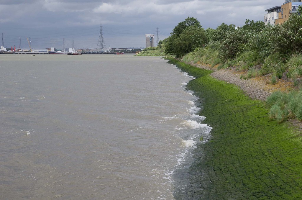
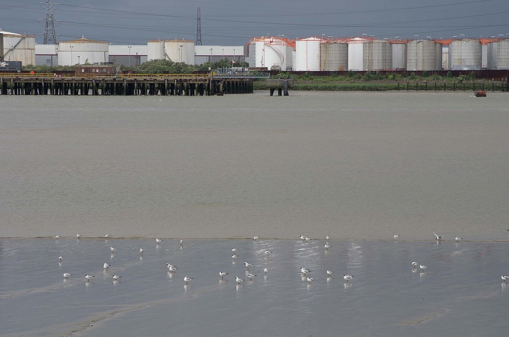
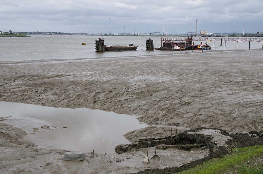
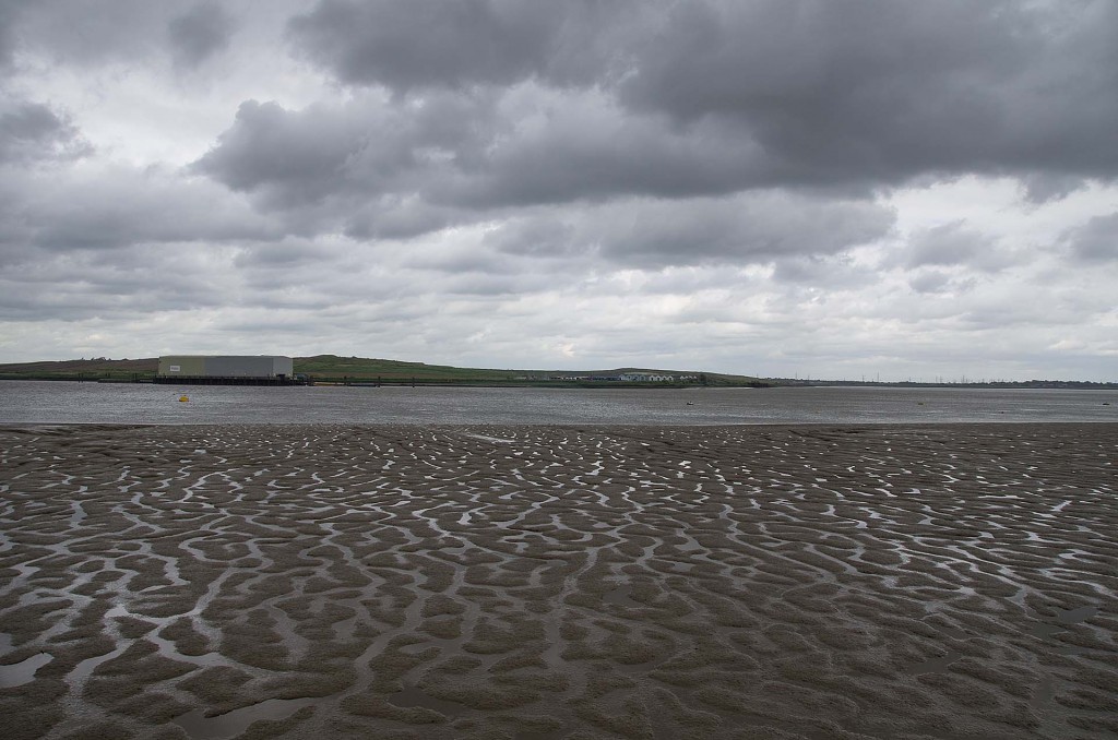
As the tide was going out, it exposed the mud flats on the southern shore.
Plenty of birds were wading out across the flats. Signs warned humans not to attempt this.
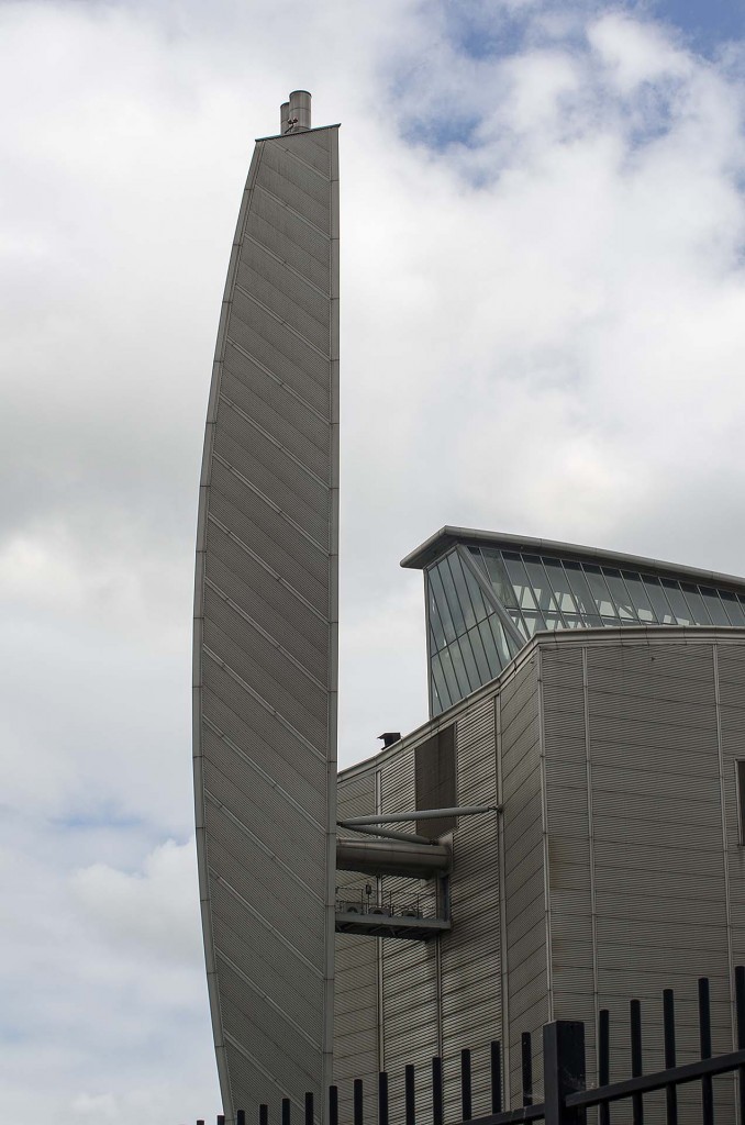
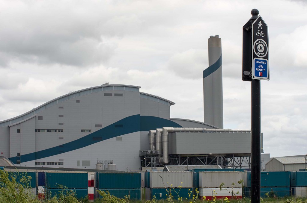
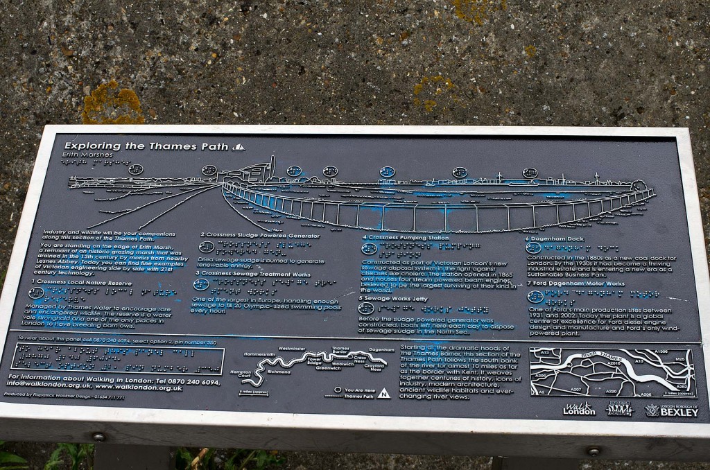
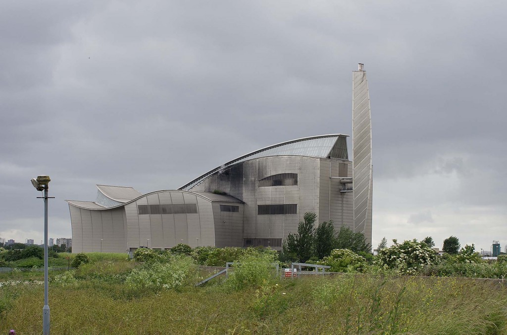
A short walk further and the Cross Ness waste treatment works comes into view. And then into your nose ! Pewww!
The incinerator here burns dried sewerage. Yumm ! The walkways here are very industrial – railings on one side, high concrete wall on the other. Not much to see and best walked quickly with your nose closed ! A little further and another energy recovery unit was working away – the Riverside Resource Recovery.
A little further on and the smell from the sewerage works disappeared in the stiff breeze – at least that was one advantage of this cloudy, windy day.
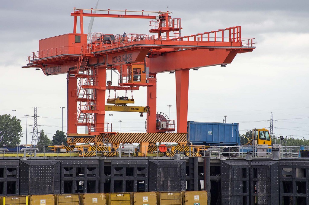
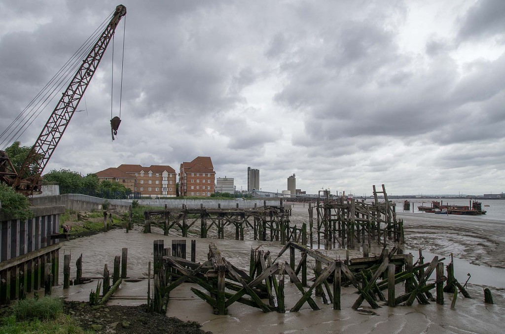
Two cranes were busy unloading and re-loading barges.
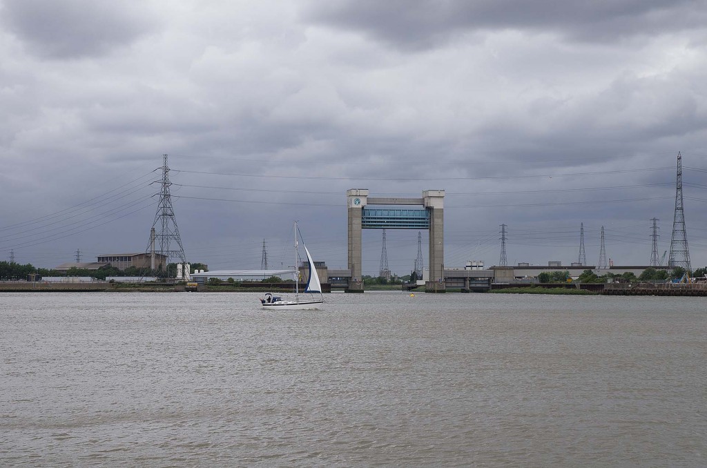
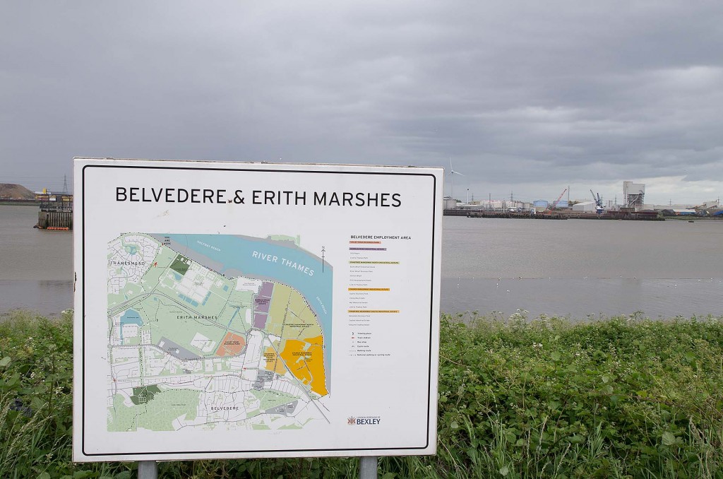
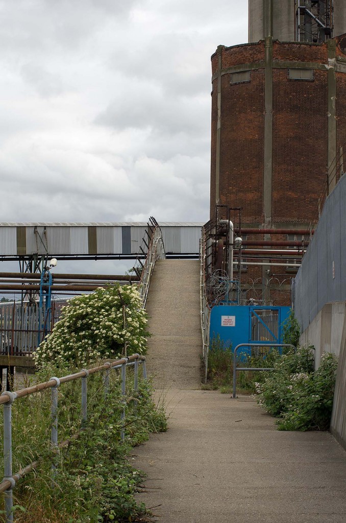
A series of factories, industrial units and large industrial plants now fill most of the remainder of the walk.
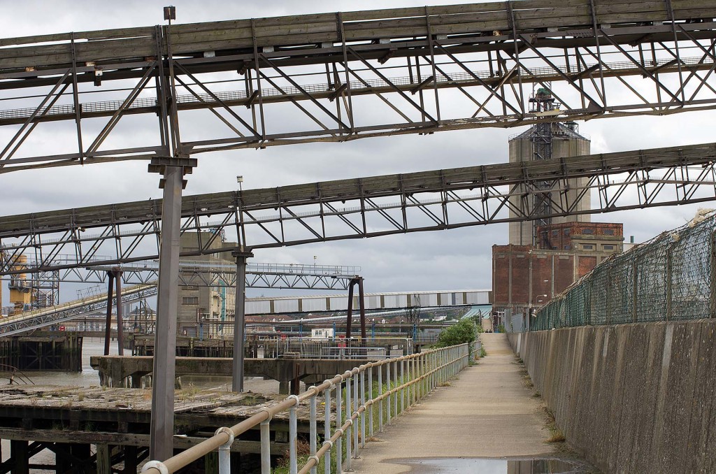
The plans sit on the land side of the walk and the path is crossed by many conveyor belts and pipes.
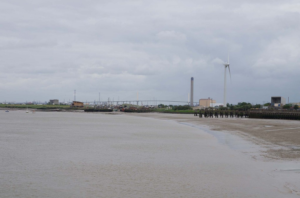
Rounding a few corners, the site of a church spire comes into view at about the same time as the Dartford river crossing in the distance.
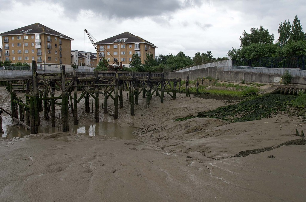
The theme of the walk from now to the end at Erith was mud. Lots of mud!
More mud.
And more mud.
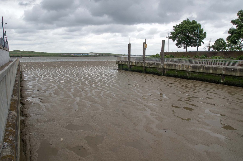
Mud even fills the inlets.
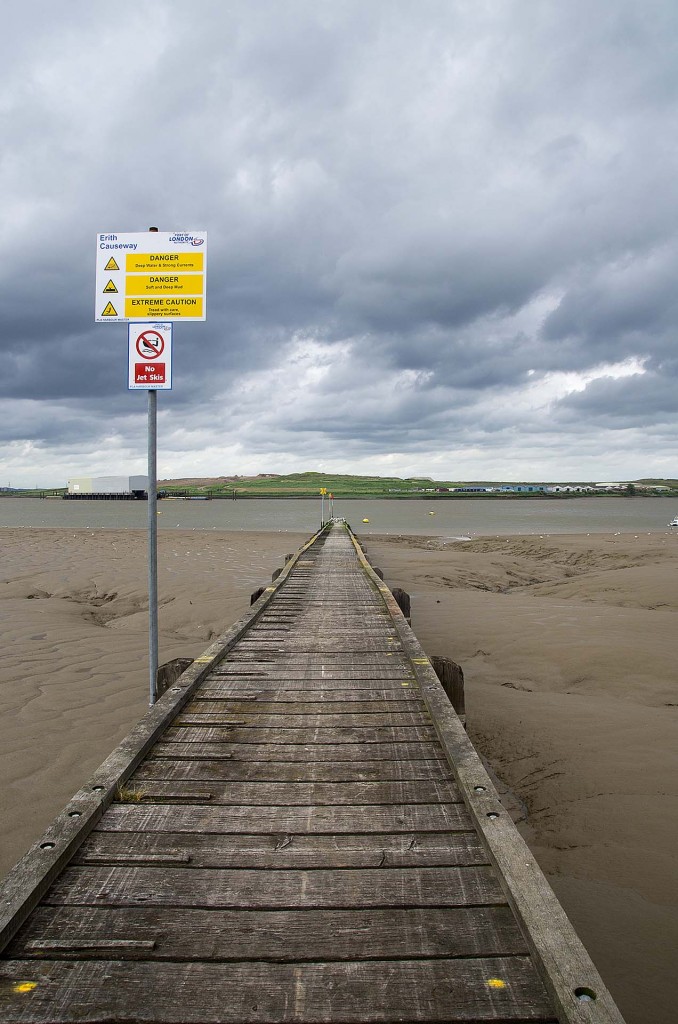
In fact, you need a long walkway if you want to get from the shore to the river and avoid all the mud. Even then, is is not advised.
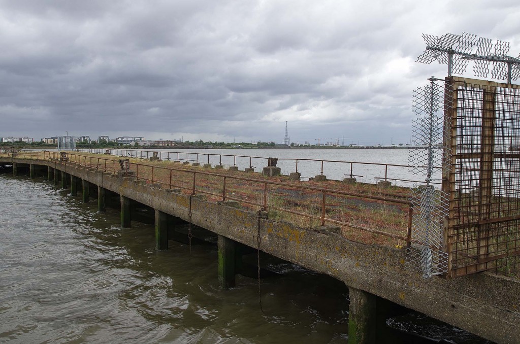
Curiously, the original plans for Erith were to make it into a resort, so it has its own pier – which leads out across the mud and into the deeper water.
From the end of the pier the next section of walk is visible – or at least the destination – Dartford, some 8-10 miles away.
Total distance: 13.27 km (8.2 mi)
Average speed: 4.20 km/h (2.6 mi/h)
Average moving speed: 4.48 km/h (2.8 mi/h)
Max speed: 14.64 km/h (9.1 mi/h)
Average pace: 14.28 min/km (23.0 min/mi)
Average moving pace: 13.40 min/km (21.6 min/mi)
Fastest pace: 4.10 min/km (6.6 min/mile)
Max elevation: 91 m (298 ft)
Min elevation: 26 m (86 ft)
Elevation gain: 339 m (1113 ft)
Max grade: 35 %
Min grade: -13 %
Live scrollable/zoomable map of the walk:



I found your pictures and stats abut the Woolwich to Erith Pier walk very useful. I’m part of a cycling club and we needed to know how far it was etc and this was excellent.
thanks for taking the time to produce such detailed walks
Glad you liked it. Sorry the latest walks have no distances. Google my tracks is not so easy to use as before.
While being at home, I found your blog, very interesting. I shall join it at Belvedere to Erith.
Thank you
Thanks Chris. My current walking route (Capital Ring) is paused at the moment during the lock-down. Hope you enjoy the path when you get a chance.
Hi how do I get from Rainham to Erith pier
I’m not sure! I gave up trying to find further riverside routes in the area – seem to be lots of businesses that block the shoreline.
You might be able to get public transport in e.g. Purfleet that crosses the QEII bridge that drops you offin Temple Hill or Barnes Cray or Slade Green. Beware the river Darent though – there is no crossing near the mouth into the Thames – need to cross at the A206 or similar.