
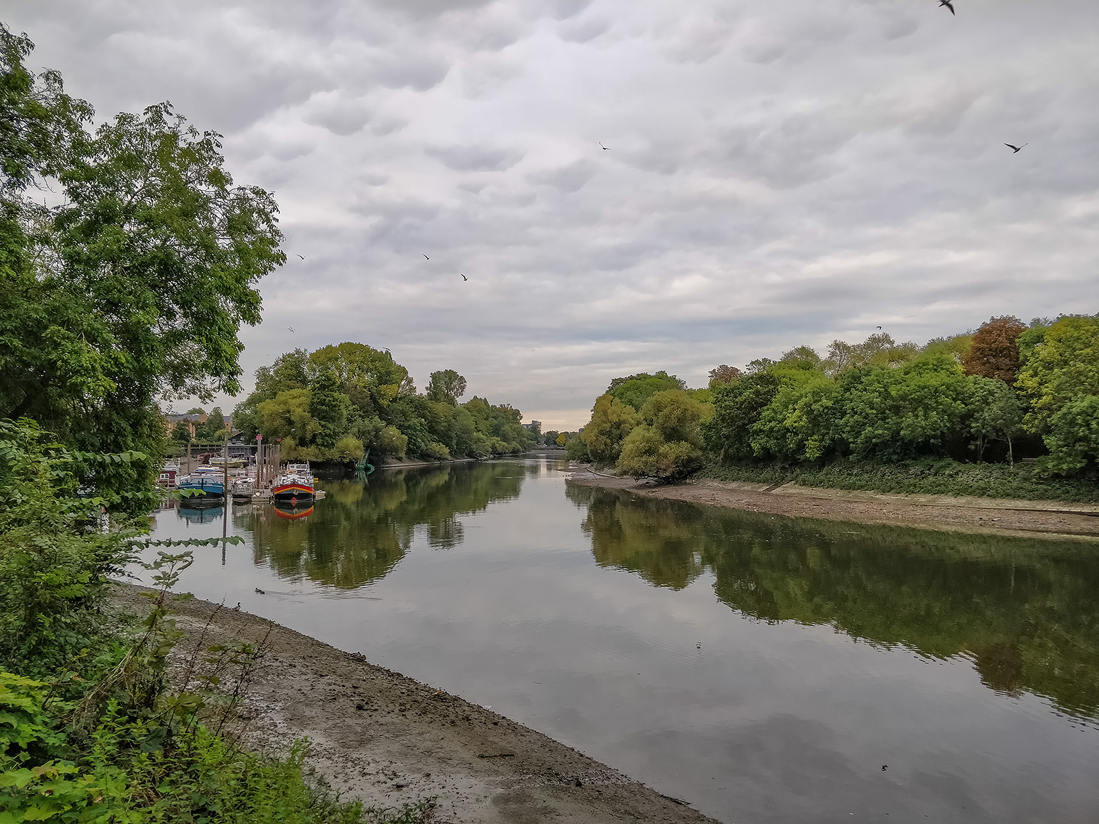
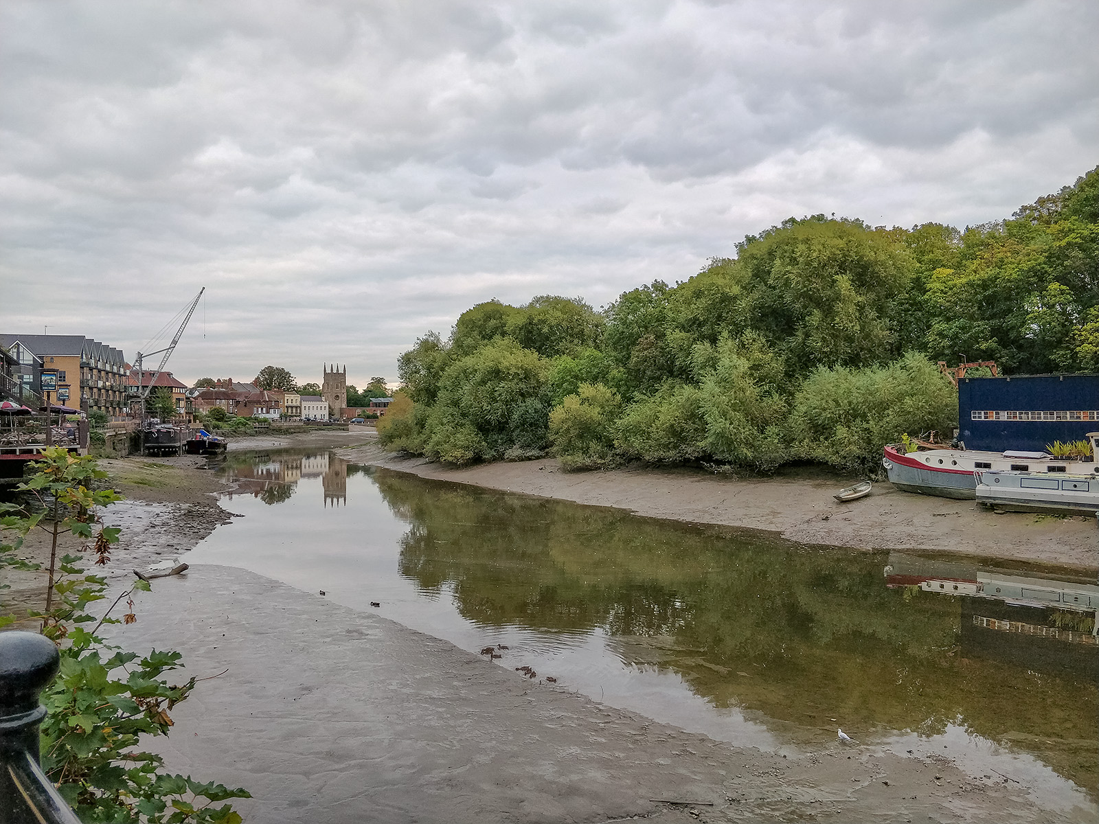
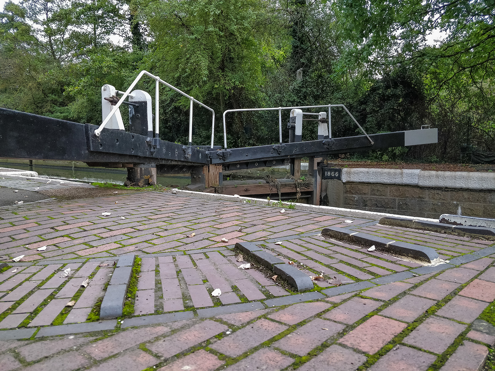
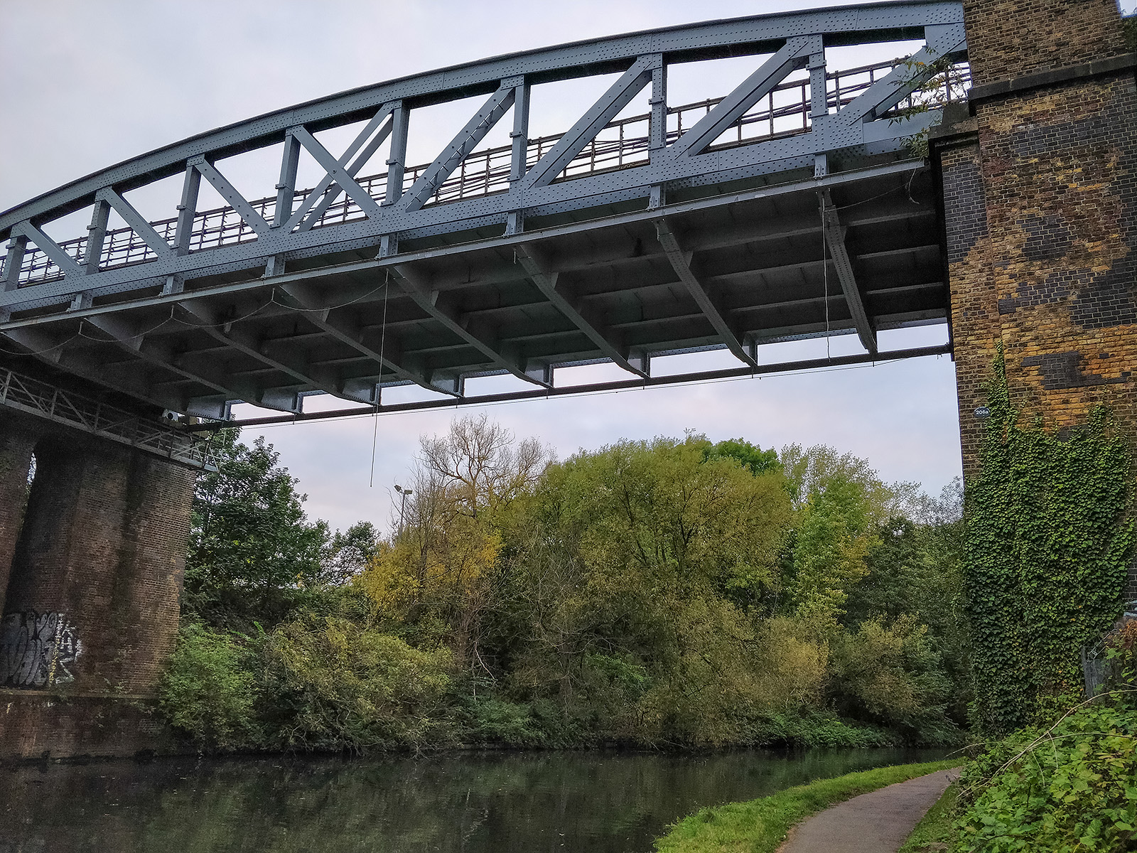
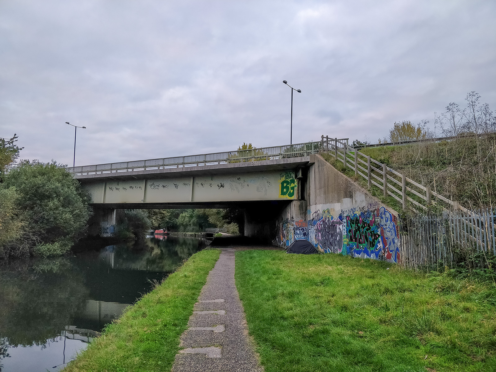
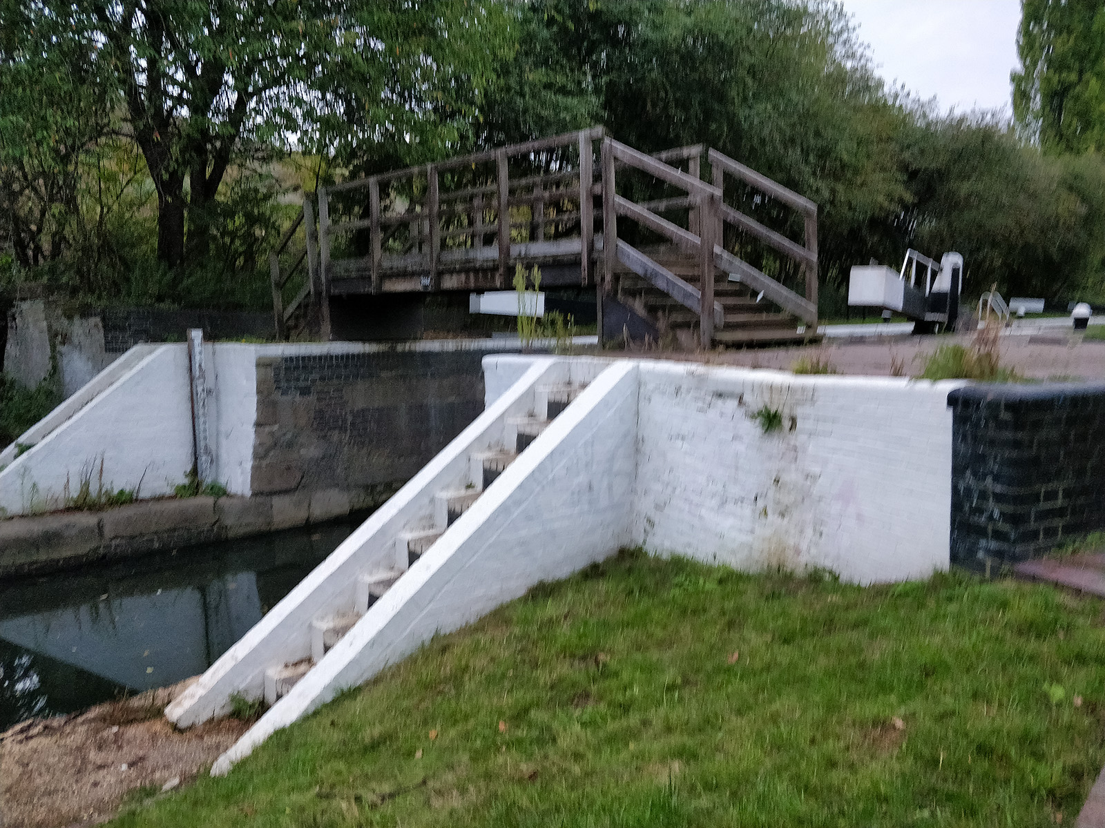
This is the first part of a new walking route, somewhat shorter than previous walks. The walk started late afternoon on a cloudy October day and finished just before dusk (hence the poor photo of Osterley Lock at the end of the walk in low light).


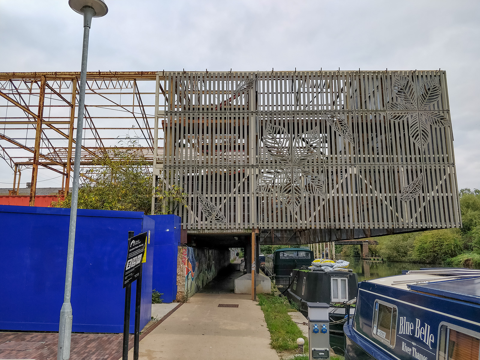
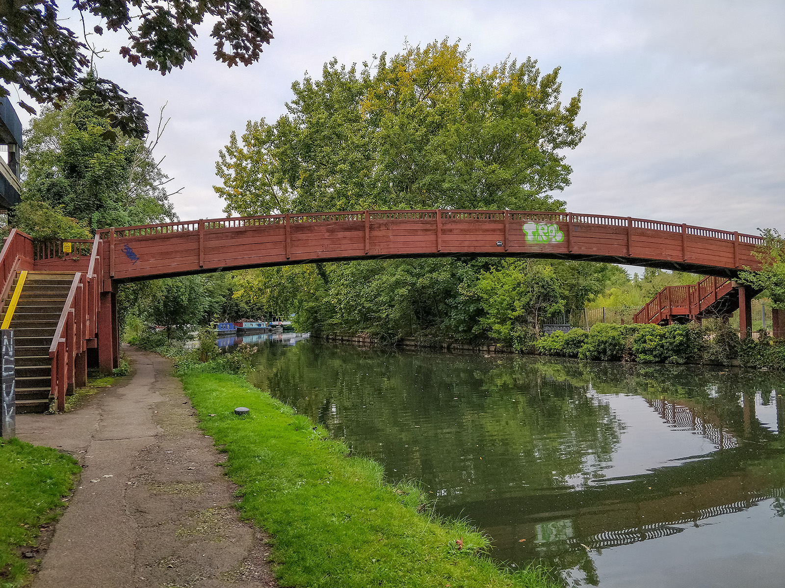
Contrast now how this BW shed (above) looks compared to the first time I walked the canal some years ago:

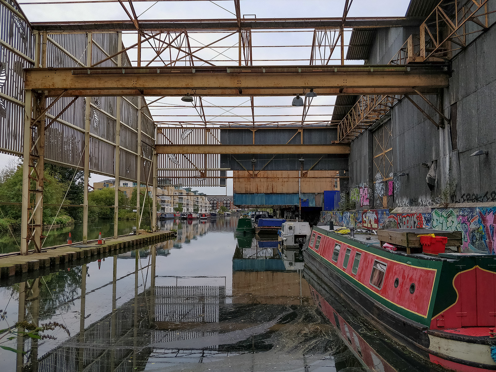
Inside BW sheds looking back towards Brentford

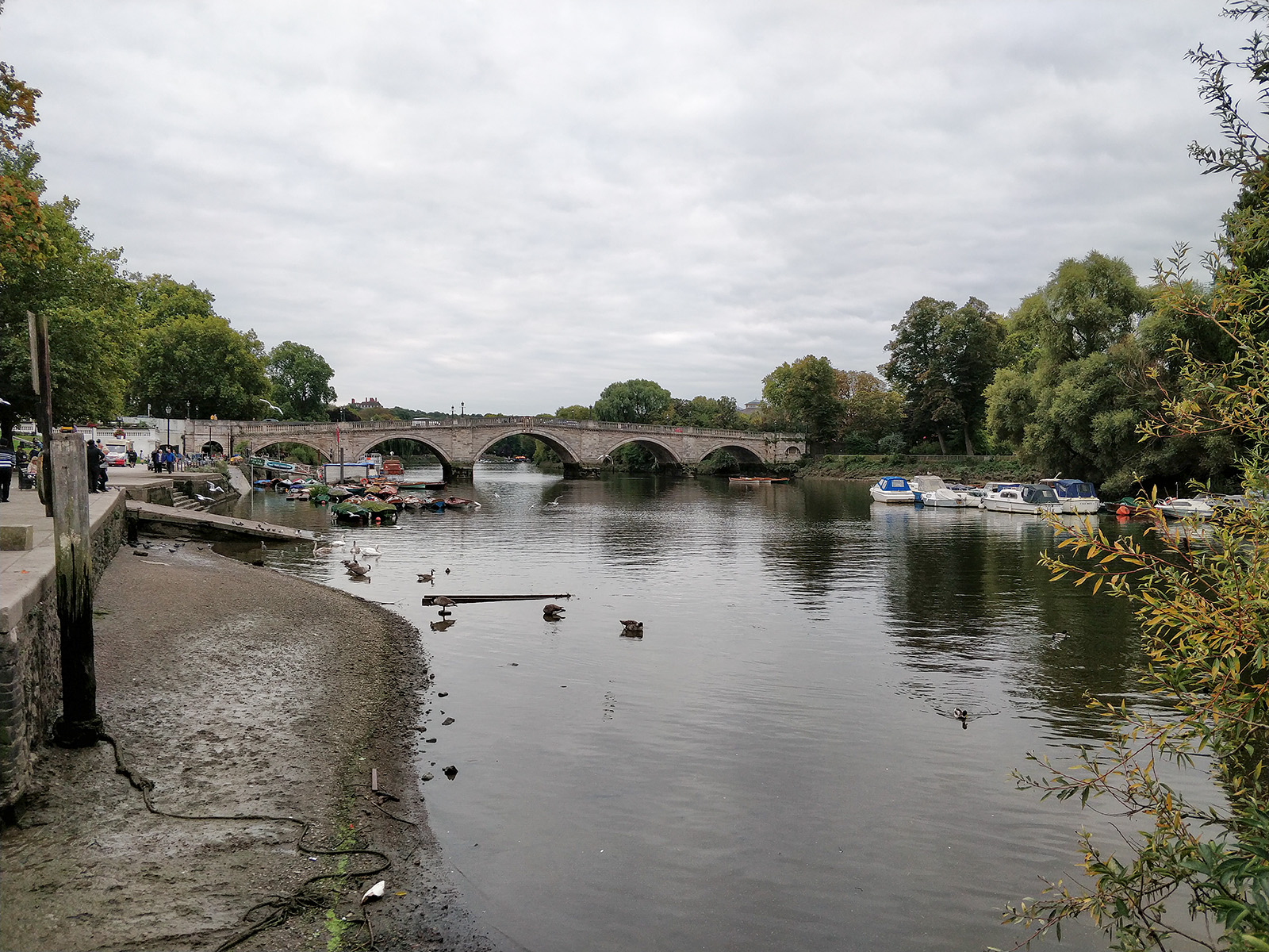
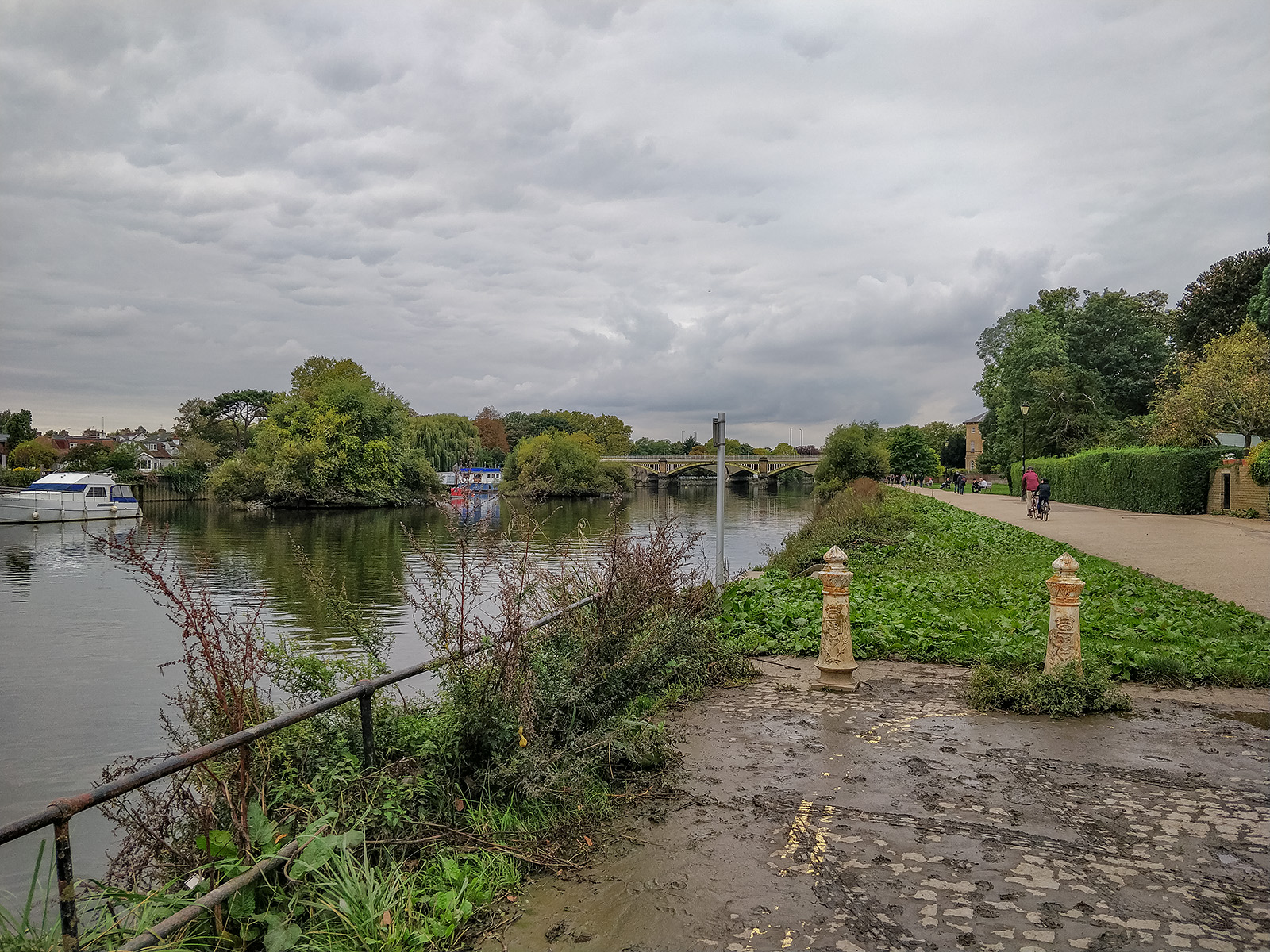
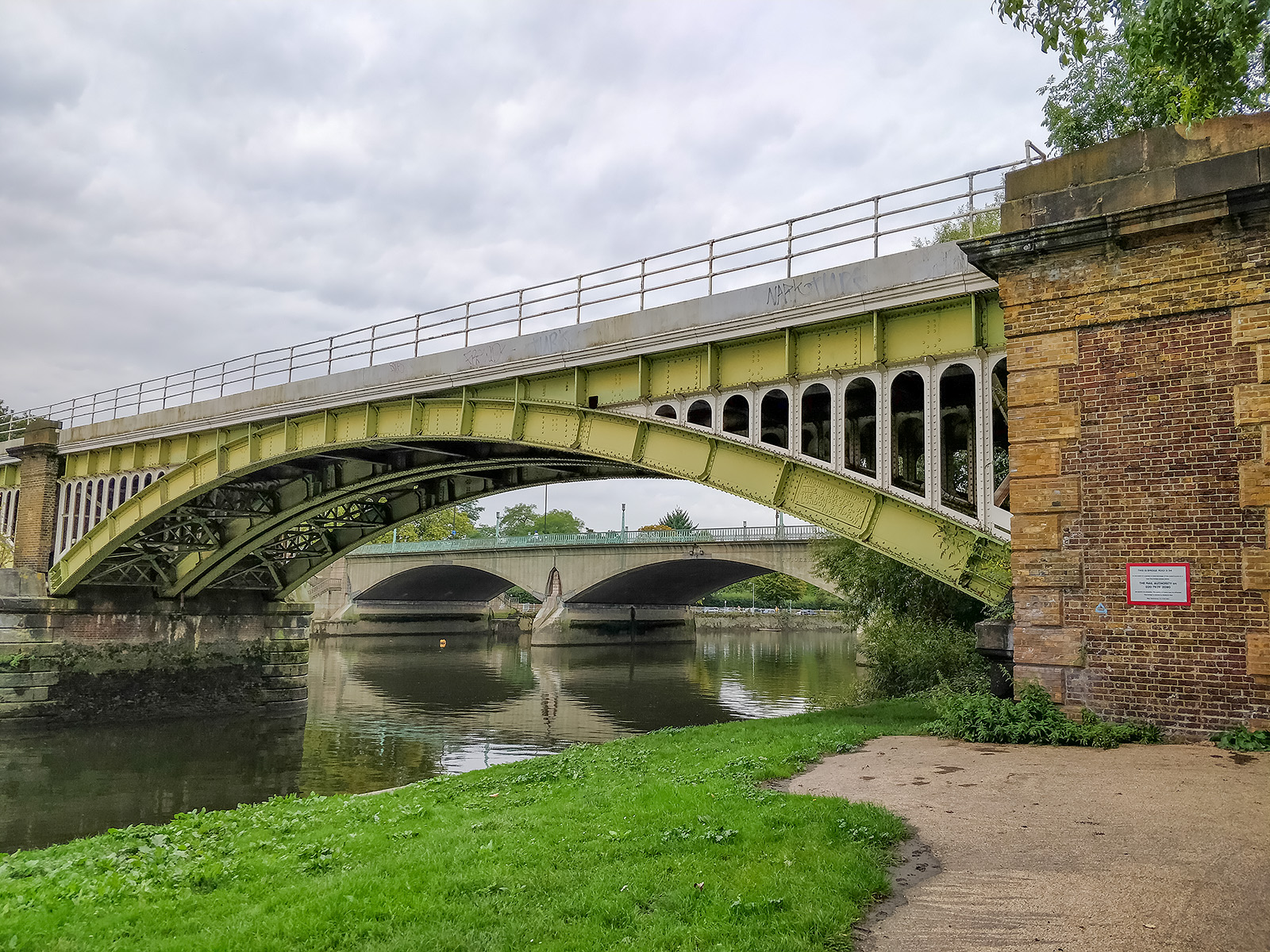
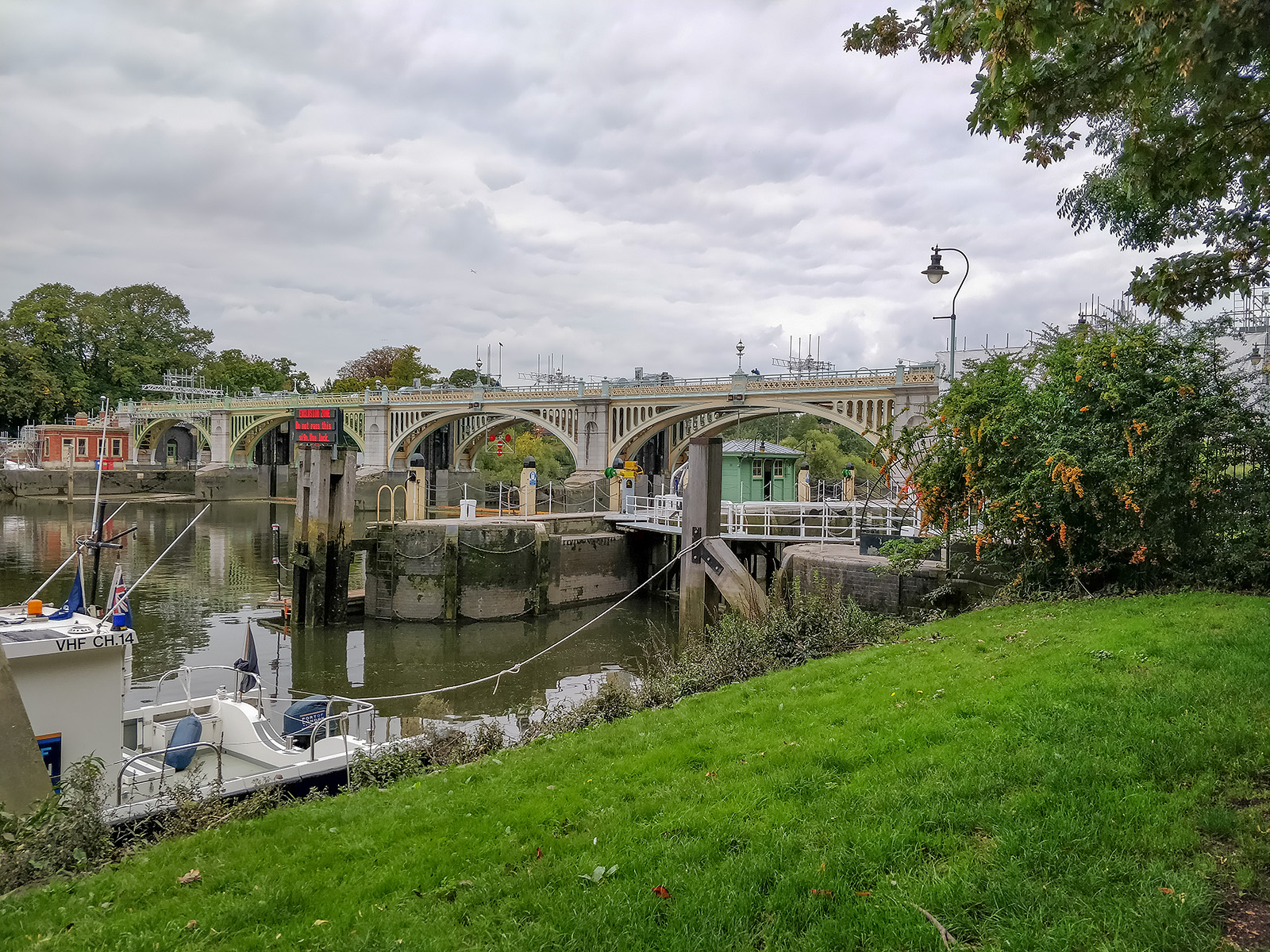
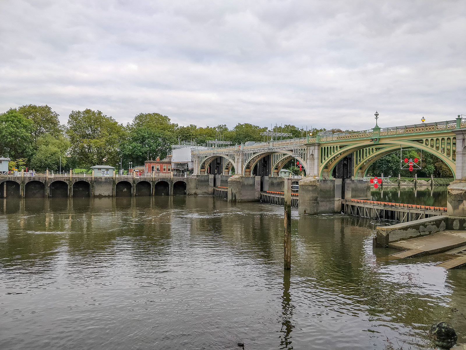
And here is the map. (The slight reversal track near Twickenham Bridge is due to discovering that the bridge across Richmond weir was closed for repainting. Unfortunately the signage was missing so I only found out about this closure too late!
Capital Ring >> Next section : 02 Osterley Lock to Greenford
Oh, and to comment – I use Google MyTracks to track my walk. It nicely informs me each time I have completed another mile, and logs the route. However since Google deprecated this rather nice and simple app, it is not as nice to use. Firstly, it is no longer supported – fair enough, but recent updates have lost the app’s ability to download maps – so the map screen simply shows the line of the route on a blank background. Worse still, the ability to upload to Google Drive has been lost. So now the only way I can get these maps onto the Blog is to save them to the phone, then use AirDroid to copy them to the PC, then upload them on the PC to MyMaps whilst I create a new map. I used to be able to simply export them to Drive and then pull them into Maps directly. The upload could occur on my way back from the walk (as a data safety measure). Now I have to wait until I get home to do it all. Nice one Google – not!
There are other apps which claim to replace MyTracks, but they either require individual logins or have lots of other features I don’t need, or they cannot properly export the maps to Google Drive. So I have to stick to My Tracks.