I took advantage of yet another nice sunny day in late March to tackle part of the remaining London section of the Grand Union Canal, specifically the Paddington branch, which runs from Bulls Bridge junction, up to Little Venice, near Paddington. This is a fairly long section – over 14 miles, so it was clearly going to need walking in sections, rather than all at once. I decided to split it into two sections: from Bulls Bridge to Alperton then Alperton to Little Venice. The first of these two sections was a little longer than the other but ended near to a convenient underground station from where I could make my way home.
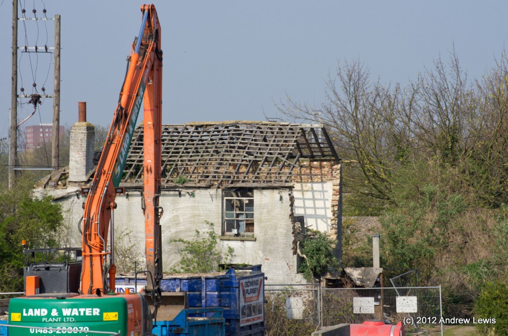
A little bit like the Slough branch, this walk started off in moderately uninspiring surroundings, but the scenery improved along the route. This walk starts at Bulls Bridge – a location I had visited on a previous walk. There seemed to be some signs of action in the area near the abandoned house, visible from Bulls Bridge.
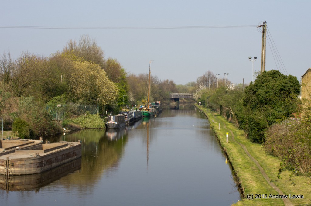
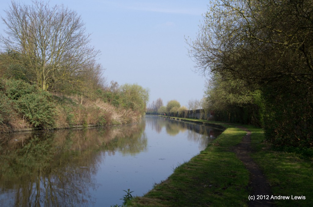
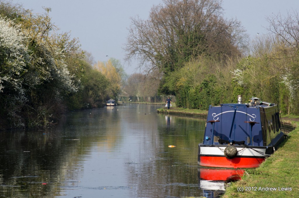
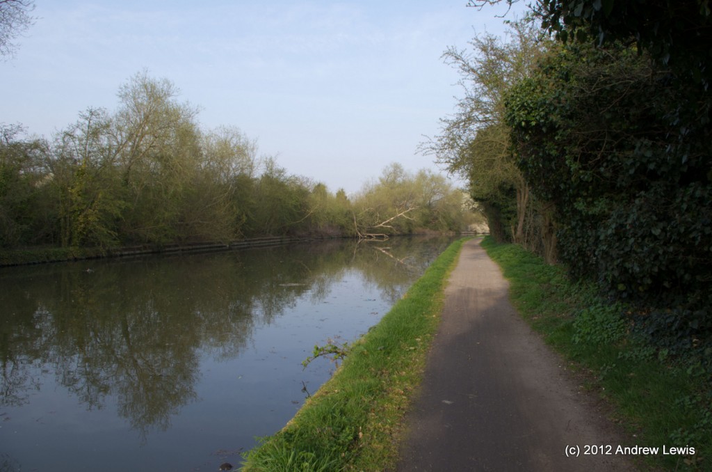
The canal stretches off into the distance, heading generally north north-east. The towpath, on the eastern side, had recently been mowed.
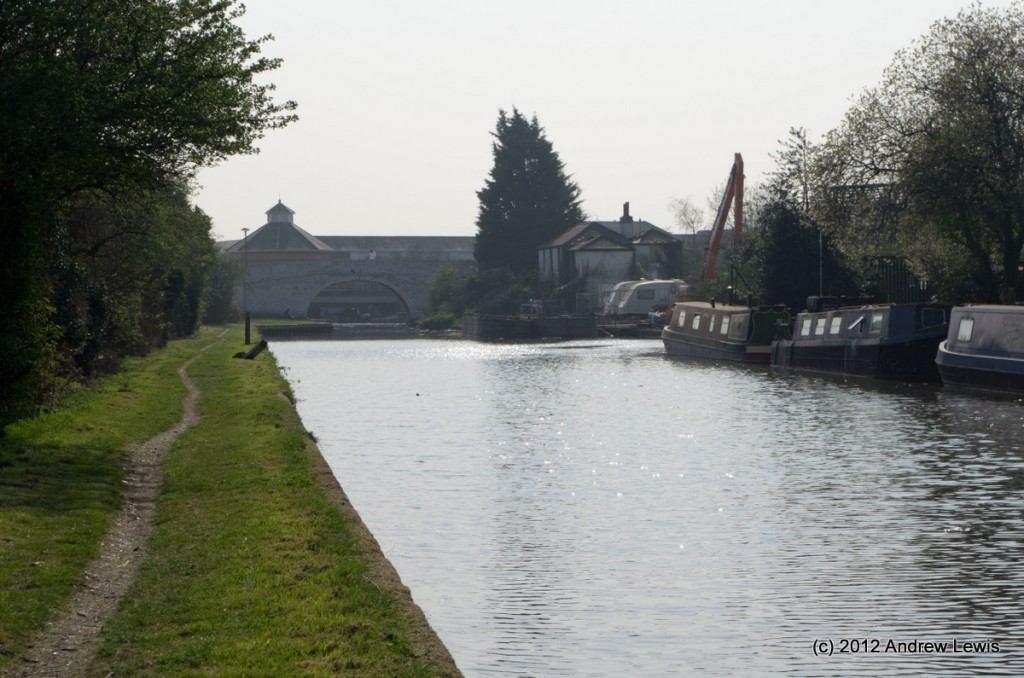
The view back towards the junction is unremarkable with only the glimpse of the main branch visible beneath Bulls Bridge. Once again, the air was scented with the smell of coffee from the nearby Nestle plant, away to the north on the main branch.
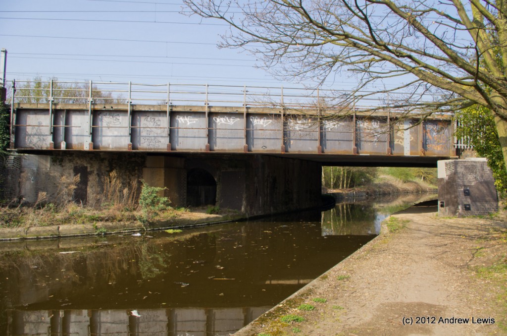
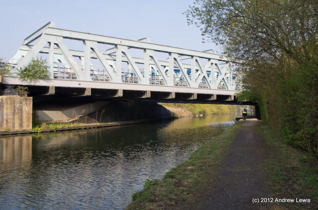
After a short distance a railway bridge comes into view, carrying the main lines into Paddington.
After the railway, the canal enters a series of long zig-zags, passing through relatively open countryside.
The first main bridge that comes into view is the Uxbridge Road Bridge.
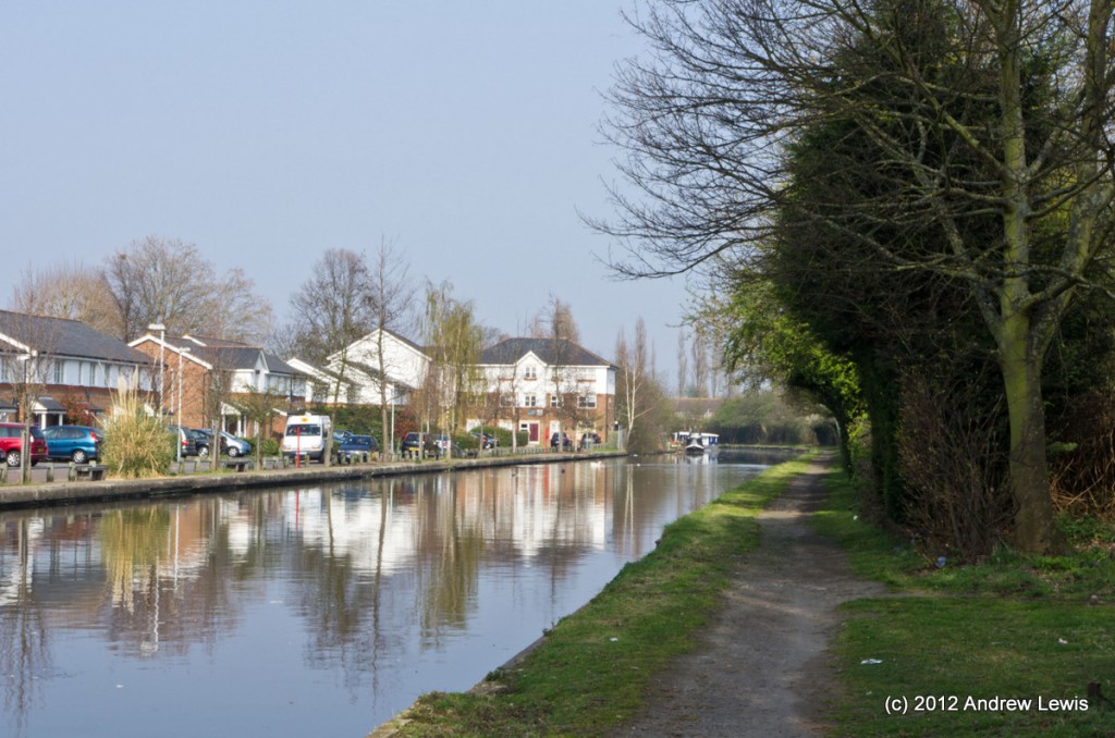
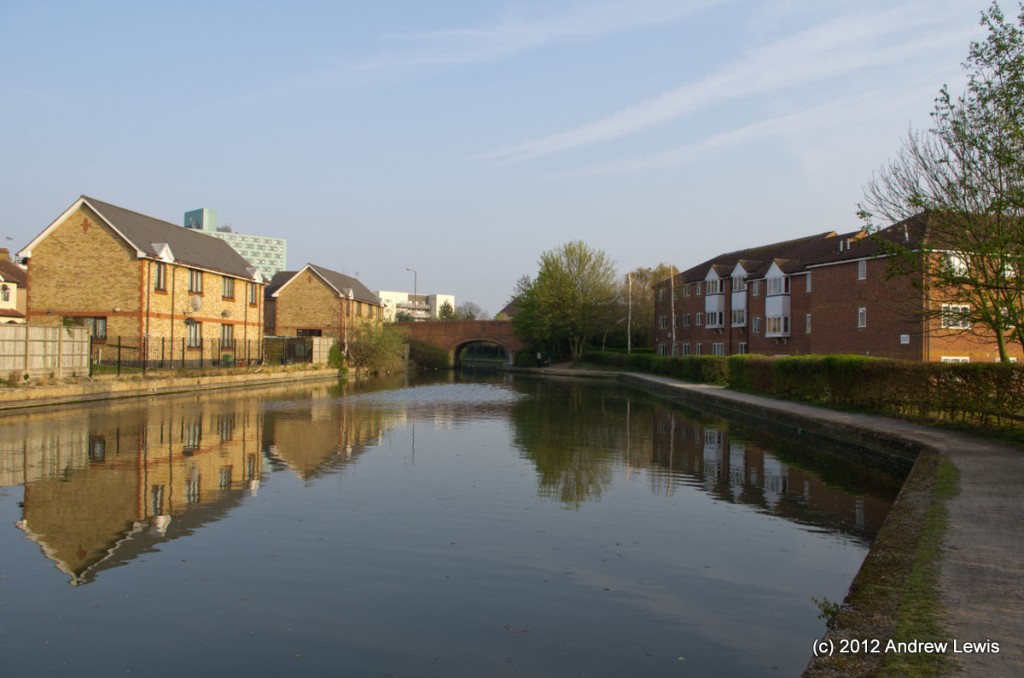
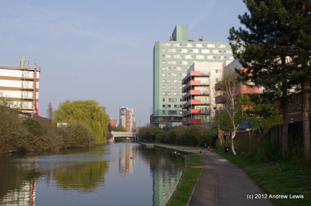
The canal bends slightly eastwards after the bridge and runs by the side of relatively new housing in Southall.
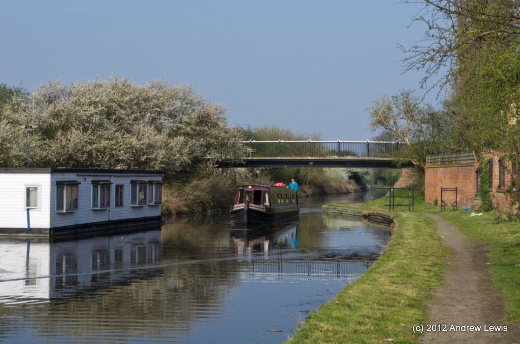
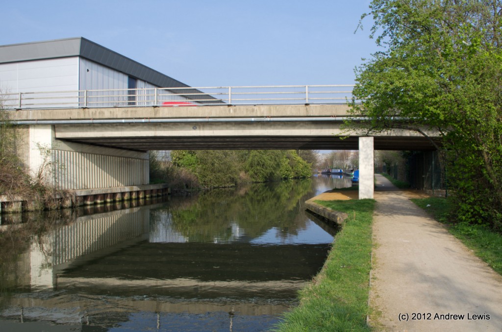
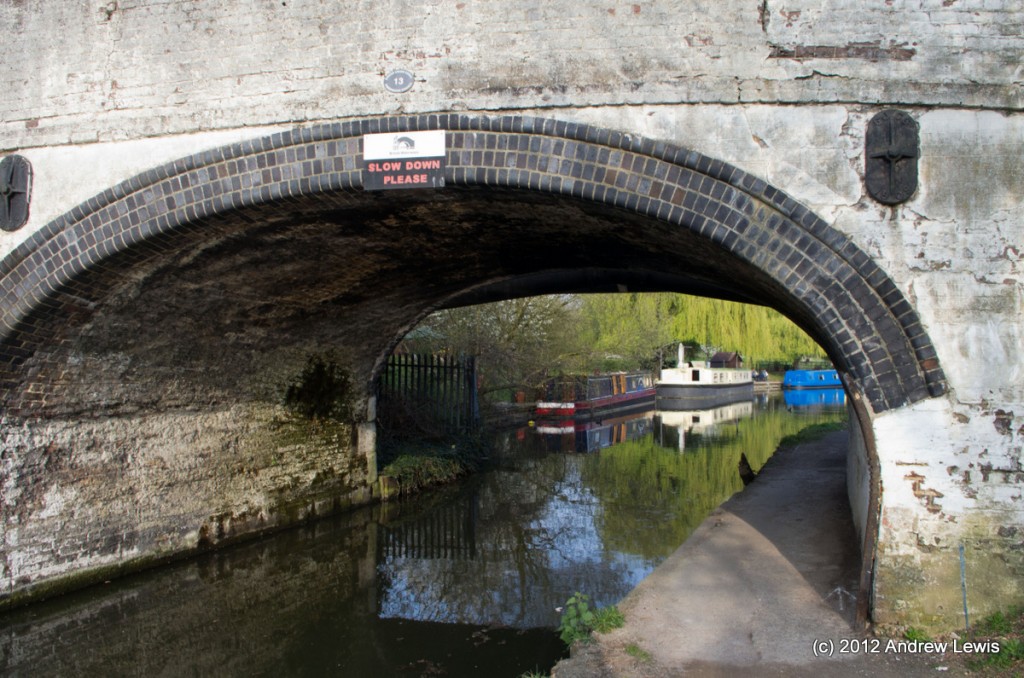
As the housing comes to an end, Spikes Bridge comes into view – today with a boat passing underneath.
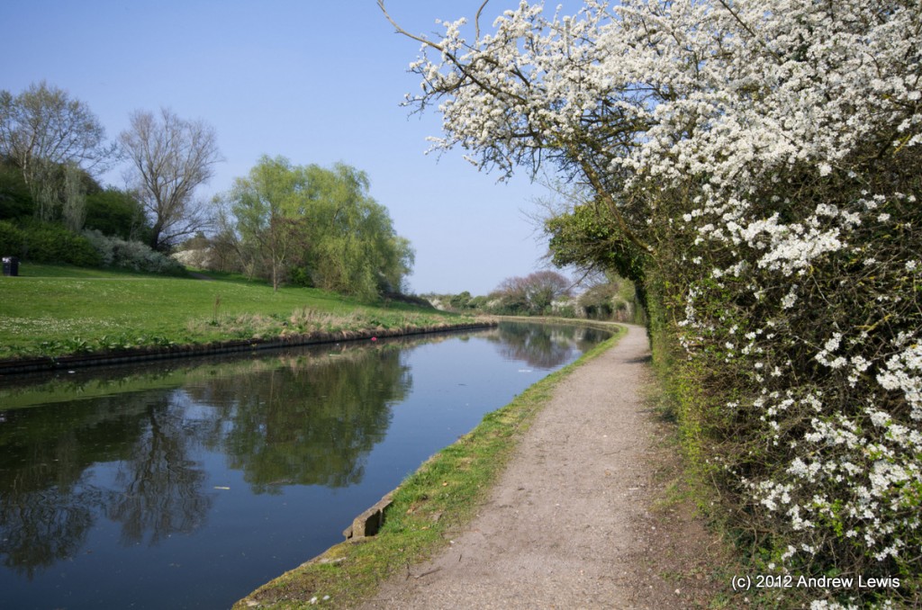
Another small series of zig-zags follow and the towpath passes next to close lying bushes, many of which overhang the path and are cut to allow passage.
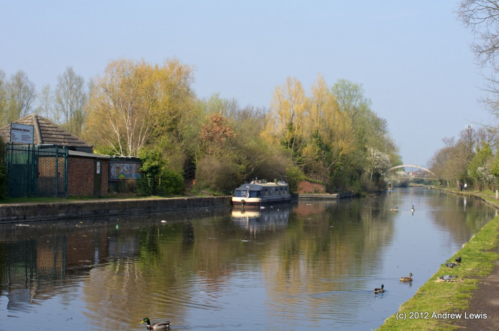
On the west side, Willowtree Marina is the next point of interest.
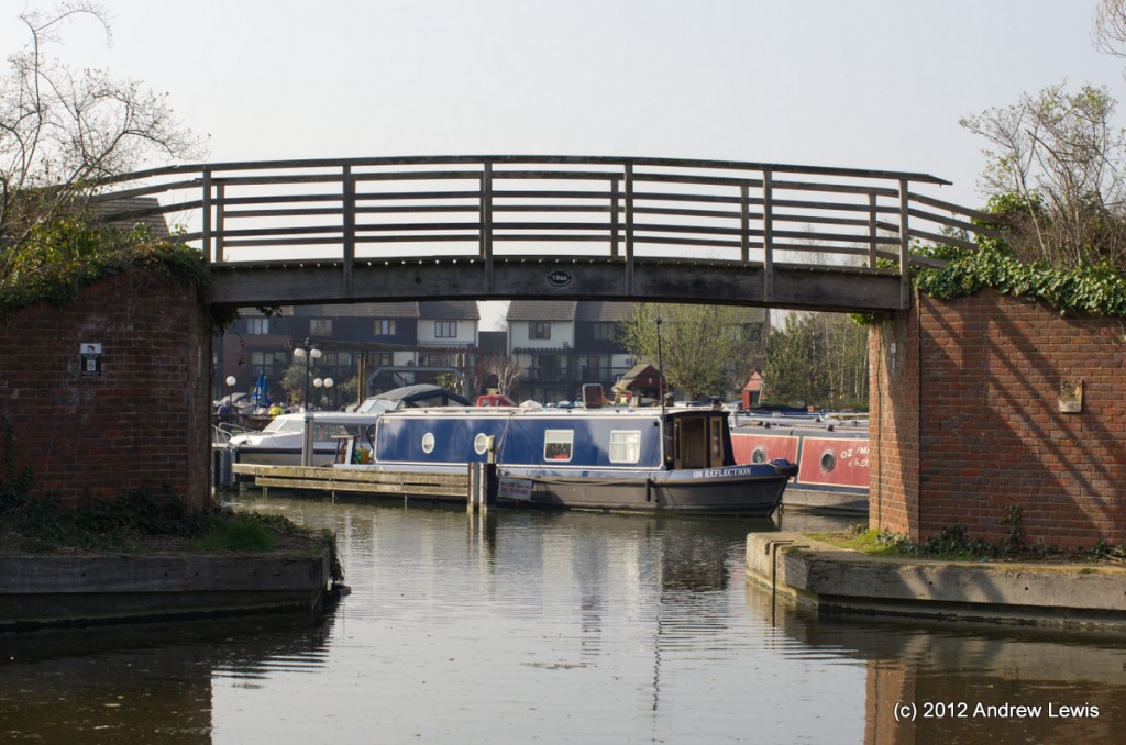
A small bridge crosses over the entrance to the Marina.
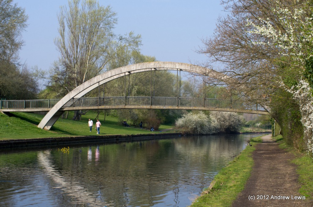
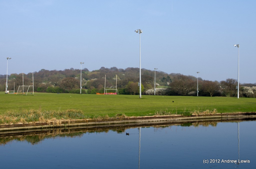
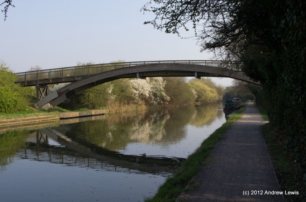
King Georges Field stretches along the eastern side of the canal and a foot bridge crosses the canal joining both parts of this park.
At this time, in late March, the hedgerows at the side of the path were in bloom with early flowers.
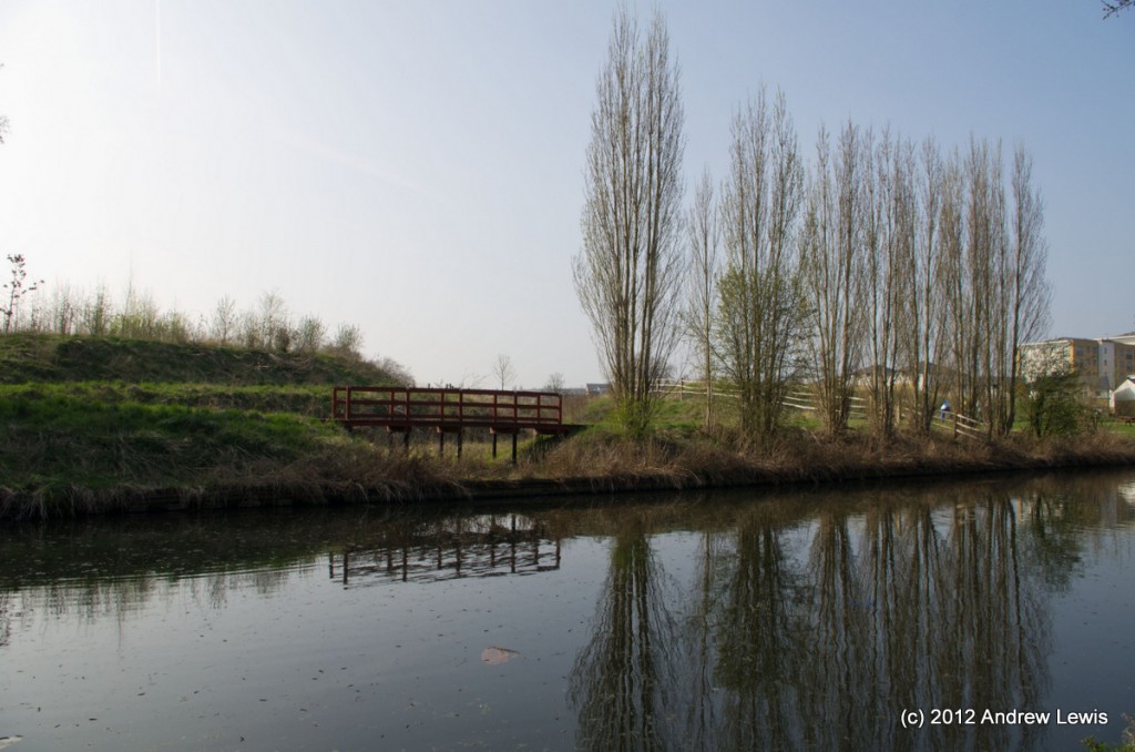
The fields give way to new housing on the western side where a small wooden bridge crosses a small inlet that looks like it fills when the water on the canal is very high.
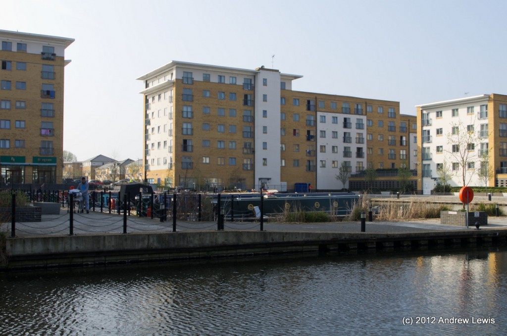
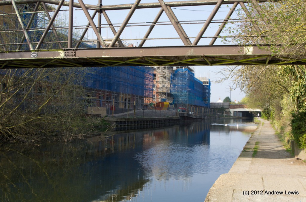
The new housing surrounds a small marina at Engineer’s Wharf.
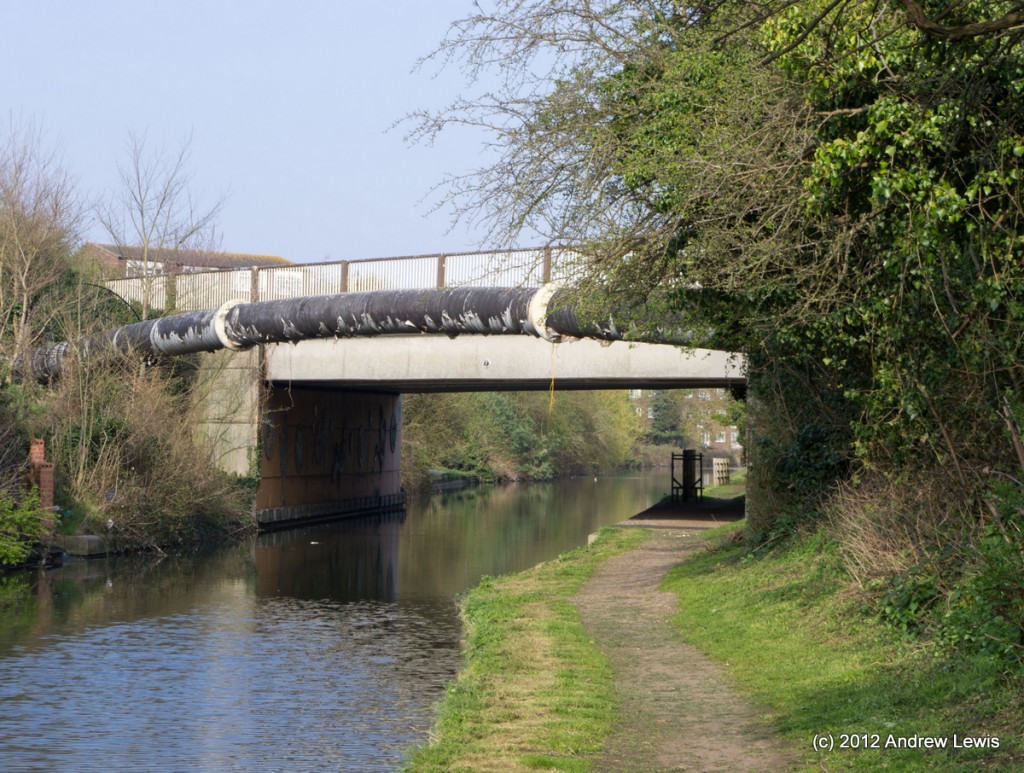
A small footbridge to the north of the marina allows residents to cross the canal and further north, the Ruislip Road Bridge carries heavier traffic across the water.
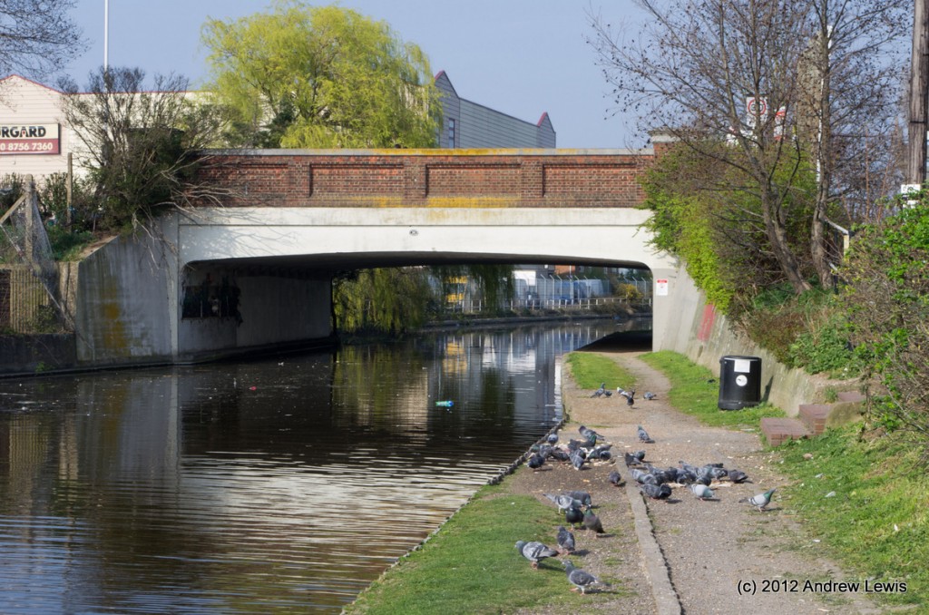
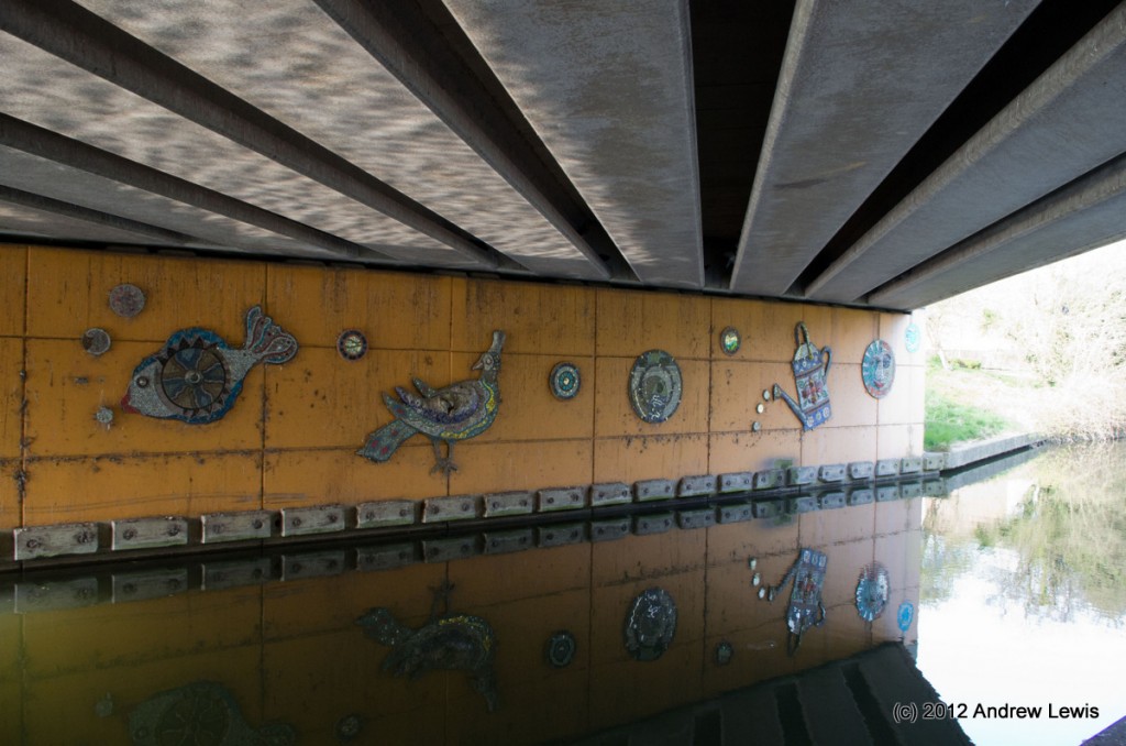
The Kensington Road Bridge is next and the underside of the bridge has a mural on the wall opposite the towpath.
After the relatively urban feel of the last mile or so, the canal now meanders in a loop before it approaches the Western Avenue Bridge.
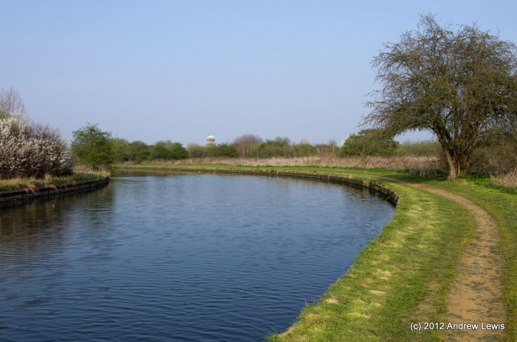
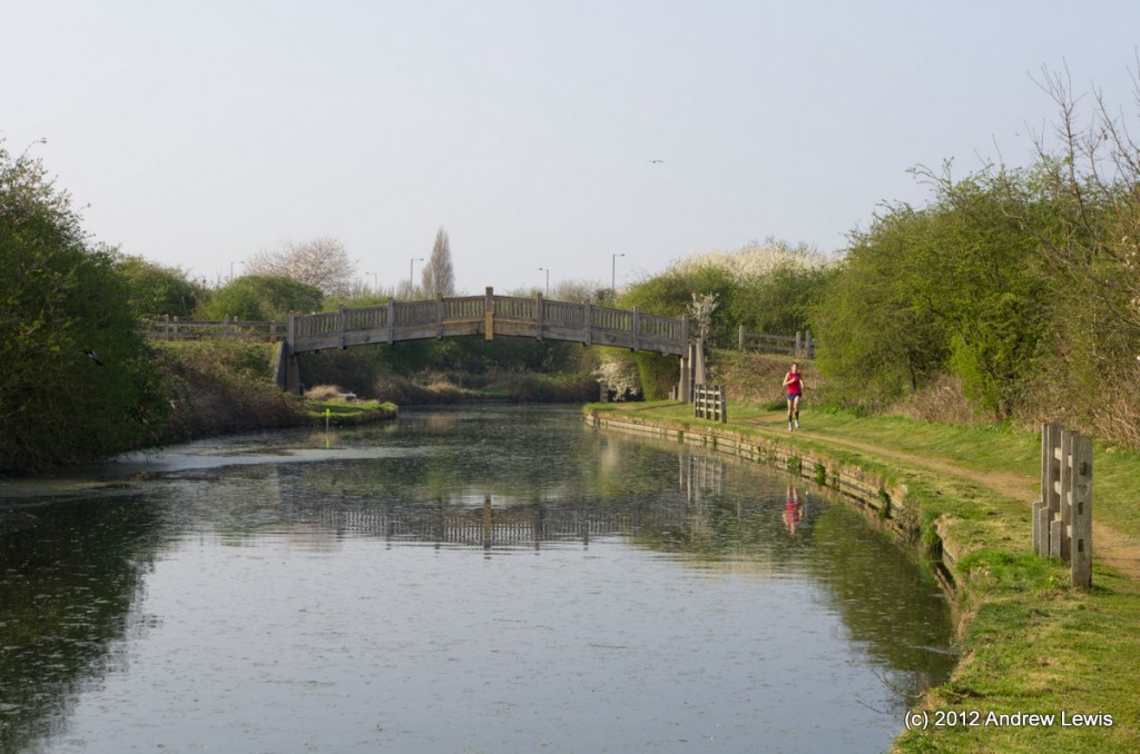
The meander passes through the attractive Marnham Fields and underneath a beautiful wooden bridge leading to Smith’s Farm.
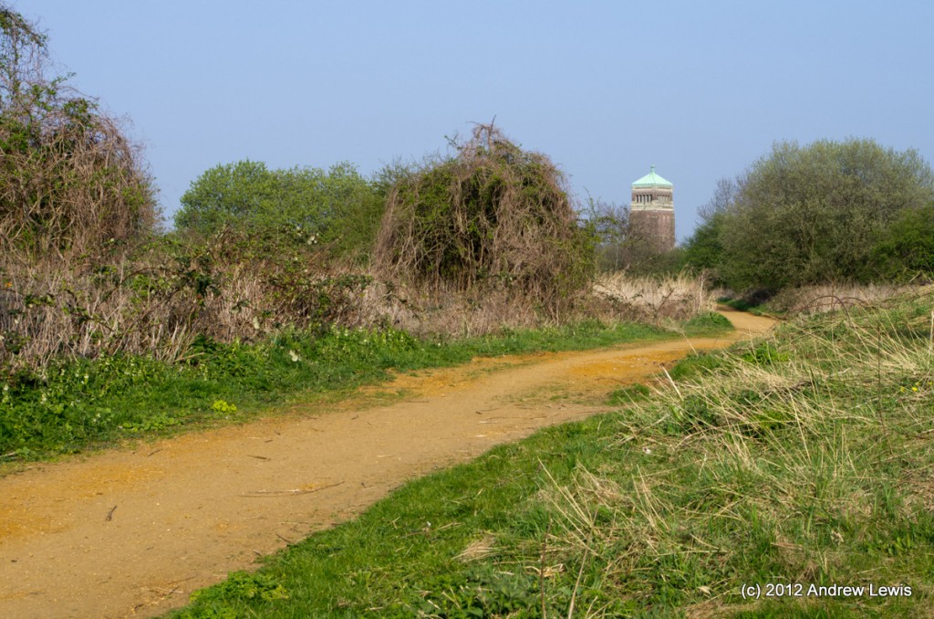
The Fields are criss-crossed by a series of footpaths, one of which appears to head off to the old Aladdin lamp factory tower, though to get there would require the walker to cross the busy A40.
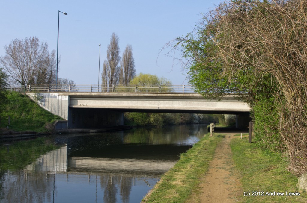
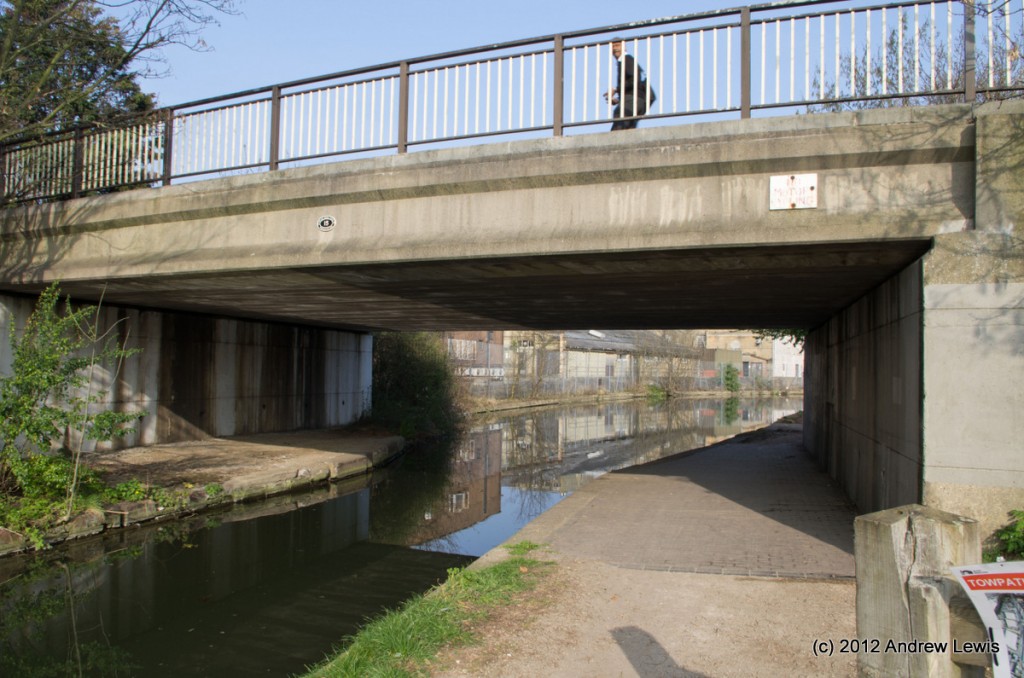
Soon after the wooden bridge, the low Western Avenue road bridge crosses the canal. I managed to snap a picture during a brief lull in the traffic on this Friday afternoon.
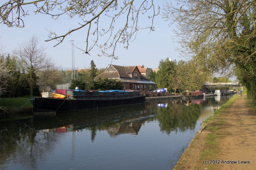
Another boatyard is situated just north of the Western Avenue and a few boats were undergoing work as I passed by.
Just visible over the top of the next bridge is the tower on the Northolt Mosque, rising up to the north.
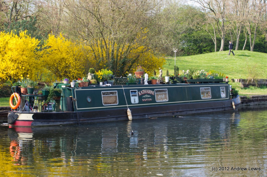
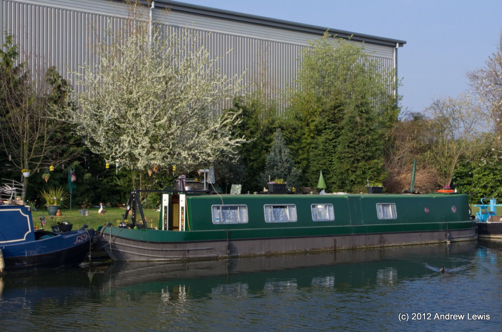
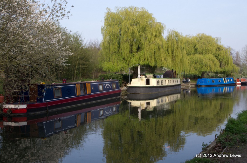
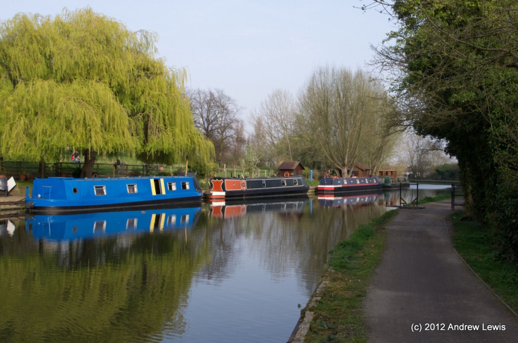
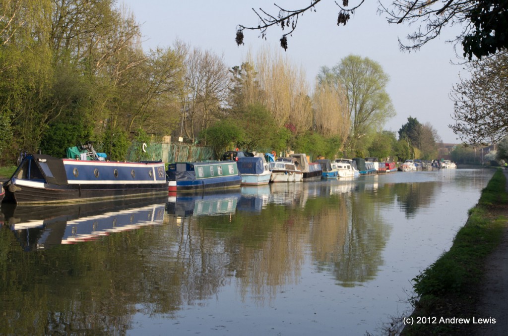
More boats are moored after the bridge where the canal is relatively wide.
After the pleasant moorings, the canal starts to pass a series of factories on the south side, and a range of food smells permeate the air for the next mile or so. A mixture of spicy food is followed by something sweeter and then finished by the smells of a bakery – sweet, hot cross bun giving way to yeasty bread. A pair of co-located railway bridges comes next before the canal straightens for the next half mile before passing under Lyon’s Bridge.
A waterside pub, The Black Horse, gives its name to the next bridge. Immediately after the bridge, the landscape is of urban industry with the backs of several factories (some looking run down) looking out over the canal. A notice on Black Horse bridge warned of towpath closure for maintenance.
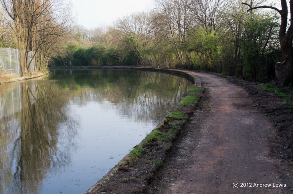
Luckily the towpath was still open but it was clear that the path had recently been scraped by mechanical digger, ready for being re-surfaced in the near future.
Fir the next mile and a half, Horsenden Hill is visible to the north.
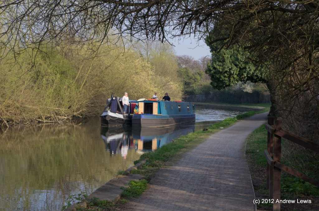
Coming round one of the short bends in this section was a pair of boats, tied together with one towing the other.
Perhaps the boats had come from the Horsenden Farm moorings, which were visible underneath Ballot Box Bridge?
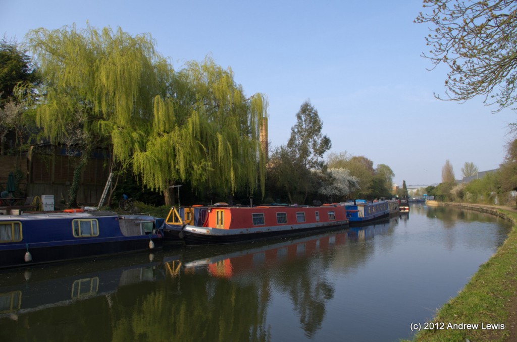
The section near Horsenden Farm was perhaps the prettiest section of this walk. Luckily the lighting was just right – the sky was a little hazy by now but the sun was heading lower, and with about two hours before sunset, the colours were warming nicely.
All along this walk, the trees and hedgerows were in full flower – brought out by the recent week long sunny spell. The only downside to this was to occur a day later with the onset of my spring hay fever 🙁
After the moorings, the canal runs fairly straight, by the side of Sudbury Golf Course.
After rounding a bend to the south east, the Alperton moorings can be seen on the north bank. A gated, narrow road leads by the side of the canal and this allows access for boaters to drive close to their boats.
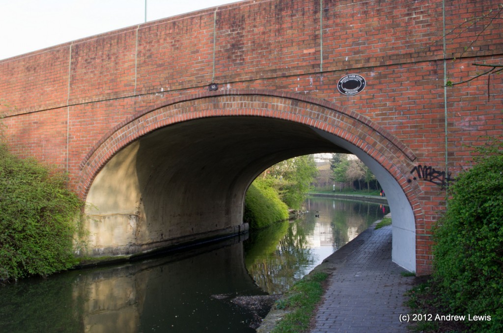
All too soon (though my legs were tiring now and it was well into Friday rush-hour) the section of the walk passed underfoot. First Piggery bridge, with its wide winding hole. It was nice to see the well-cared for bricks underneath the bridge and the fresh coat of paint underneath the main arch (as far as could be reached from the towpath).
Next, the final few hundred metres up to Ealing Road Bridge (11), where this section of the walk came to and end.
For some reason, probably to do with the wigglyness of the route based on the sampled GPS coordinates, the Google MyTracks result for this walk showed as a total of 9.5 miles – somewhat more than the 7.5 predicted from Google Maps. It certainly seemed a longer route than any walked so far!
View Grand Union Canal : Bulls Bridge to Alperton in a larger map

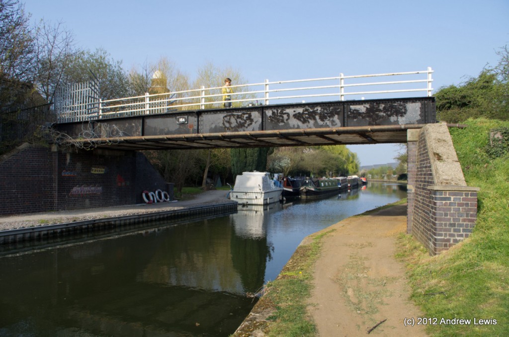
I’m glad to see a picture of Spikes Bridge. Being a local, it’s rare to find the little unseen parts of Southall (Ealing, Hounslow and Hillingdon boroughs, and London in general) photographed and documented. I don’t have anything to add to this really. Just wanted to show you my appreciation and give you encouragement to continue your blog.
Thanks anon! I really enjoyed my walk around the area that day.
In the future it is likely that more folk will get to see the area as Google volunteers are taking camera packs and GPS systems along the UK’s canals. Eventually you should be able to get Google Street view (or should that be towpath view) along the canals!
Cheers!