
Another trip along the Thames Path. This a half distance trip i.e. the usual walk in this area is around 14 miles long which was a bit too much for me, especially as transportation from the end point will not be so easy. At the halfway point there are frequent buses, so I broke the walk into two sections – this is the first.
As usual, click on any image to enlarge to full screen. Map is at the end.
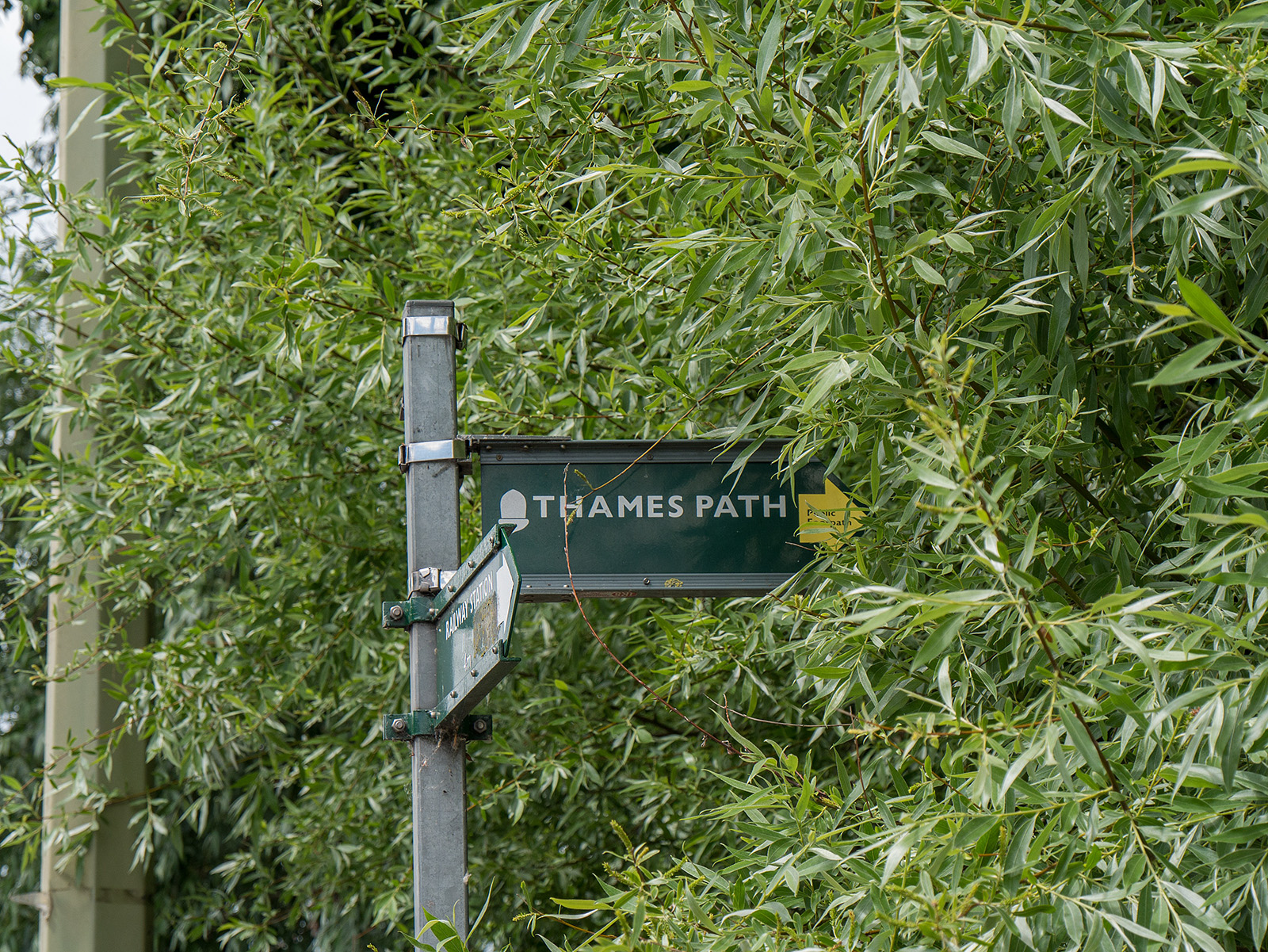
Start at Botley Road bridge, near the railway station
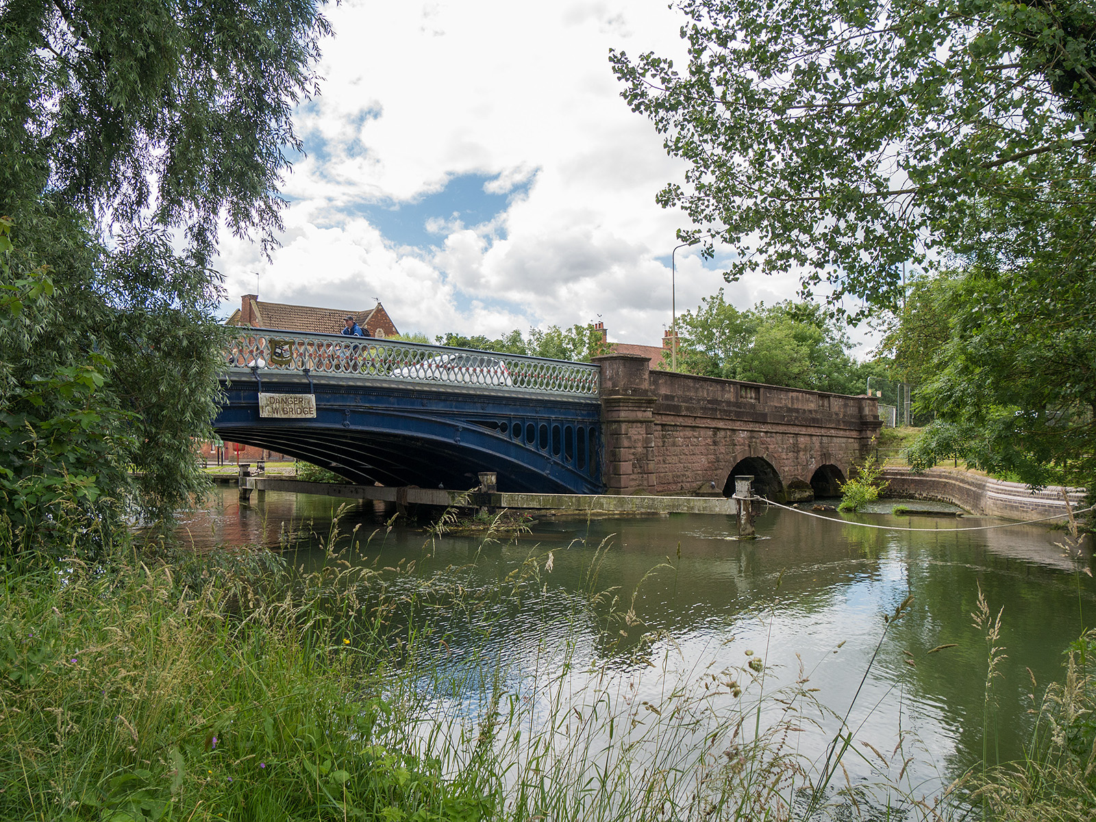
Looking back at Botley bridge
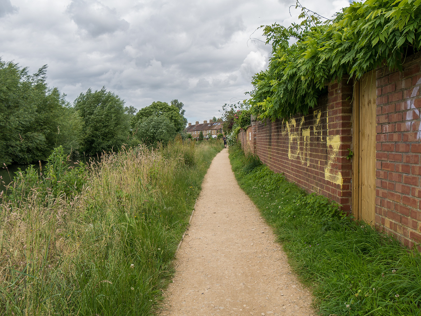
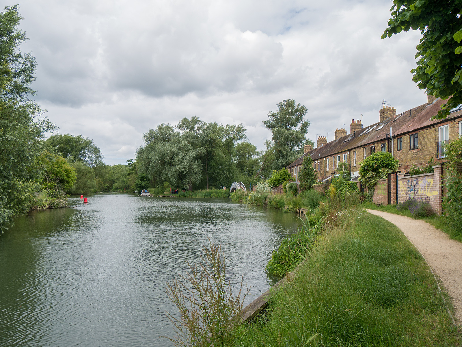
Path at the back of terraced houses on Abbey Road
Approaching the first foot bridge
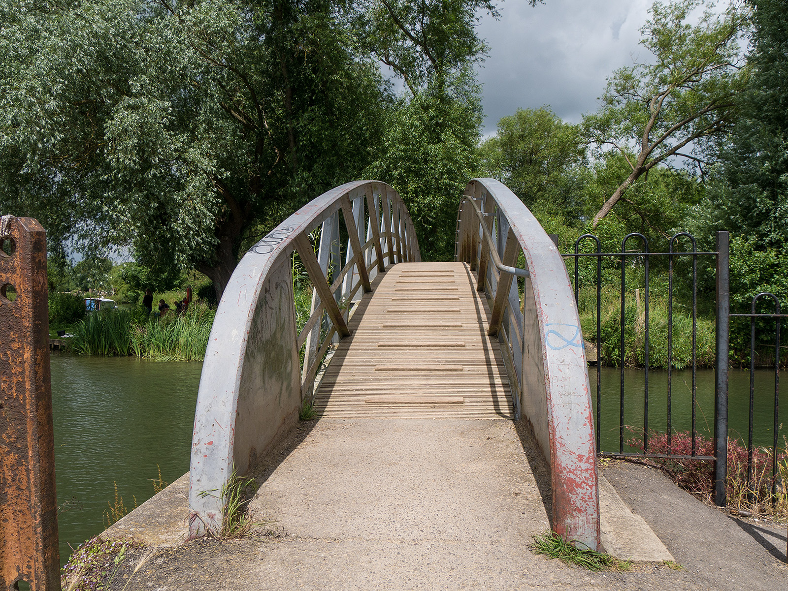
Foot bridge over the channel which heads to Castle Mill Stream
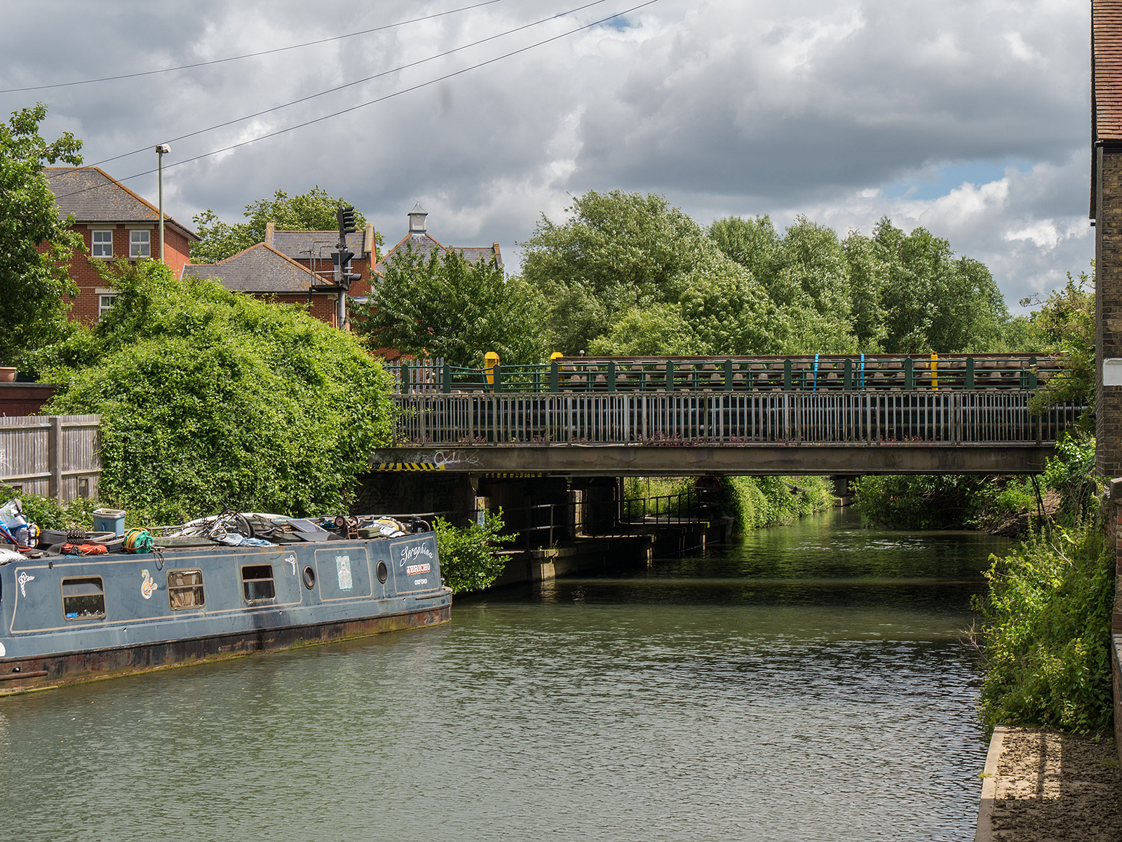
Looking towards the railway bridge over the channel
On the path between the river and Fiddler’s Stream
Just before Fiddler’s Stream bends away
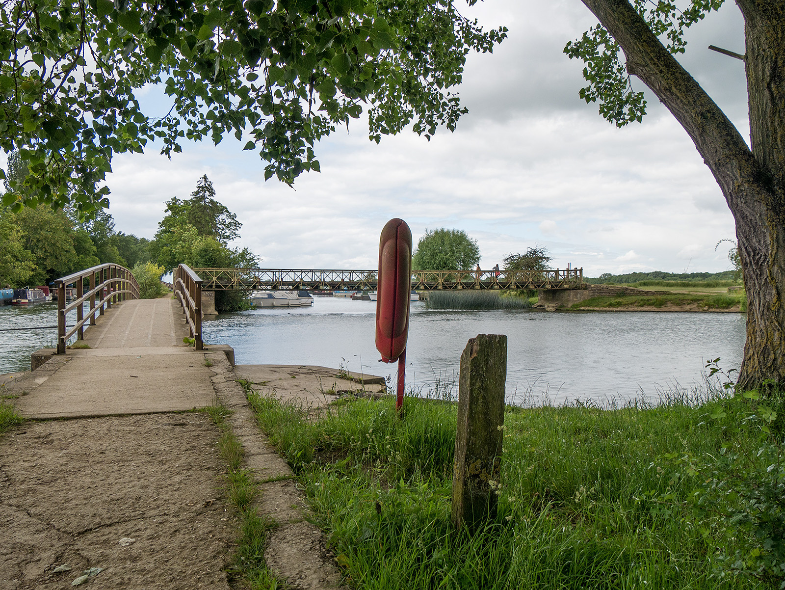
Forwards is the bridge to Fiddler’s Island. Coming from the right is the Castle Mill Stream, from the left the main branch of the Thames
Fiddler’s Island
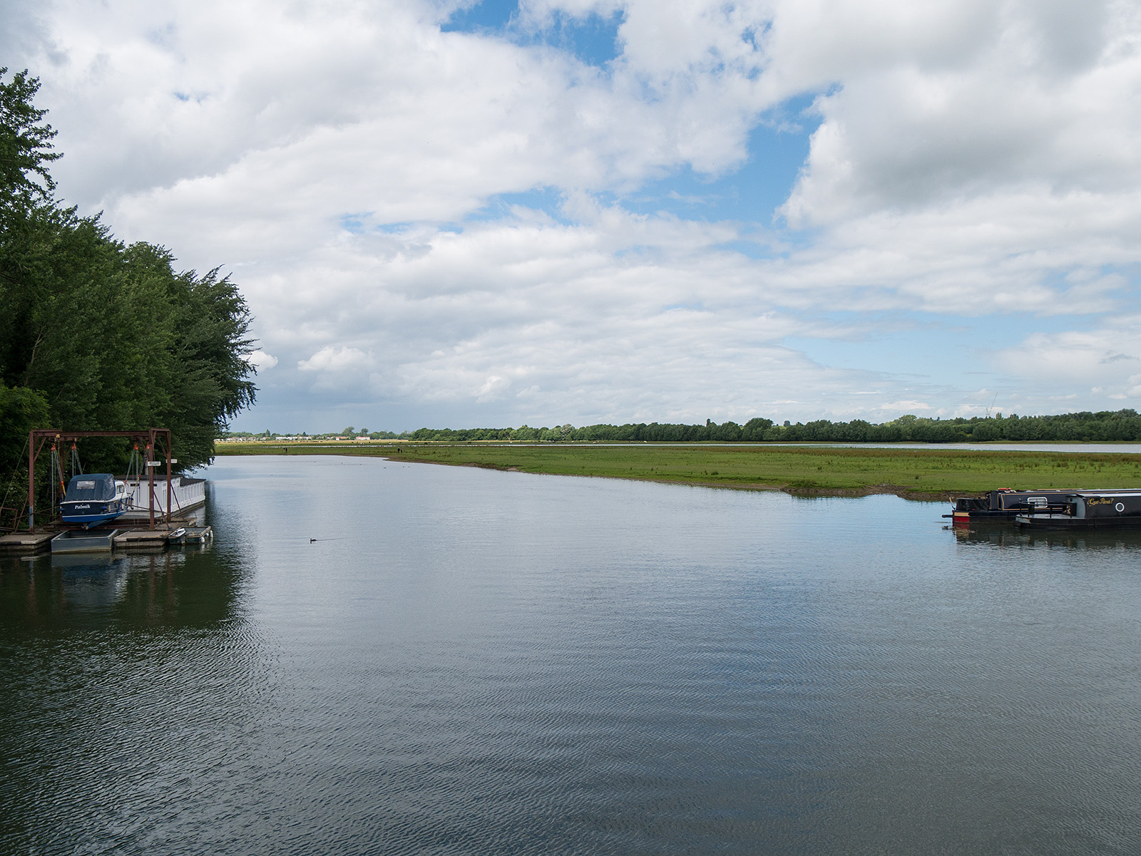
Looking over the river towards Port Meadow
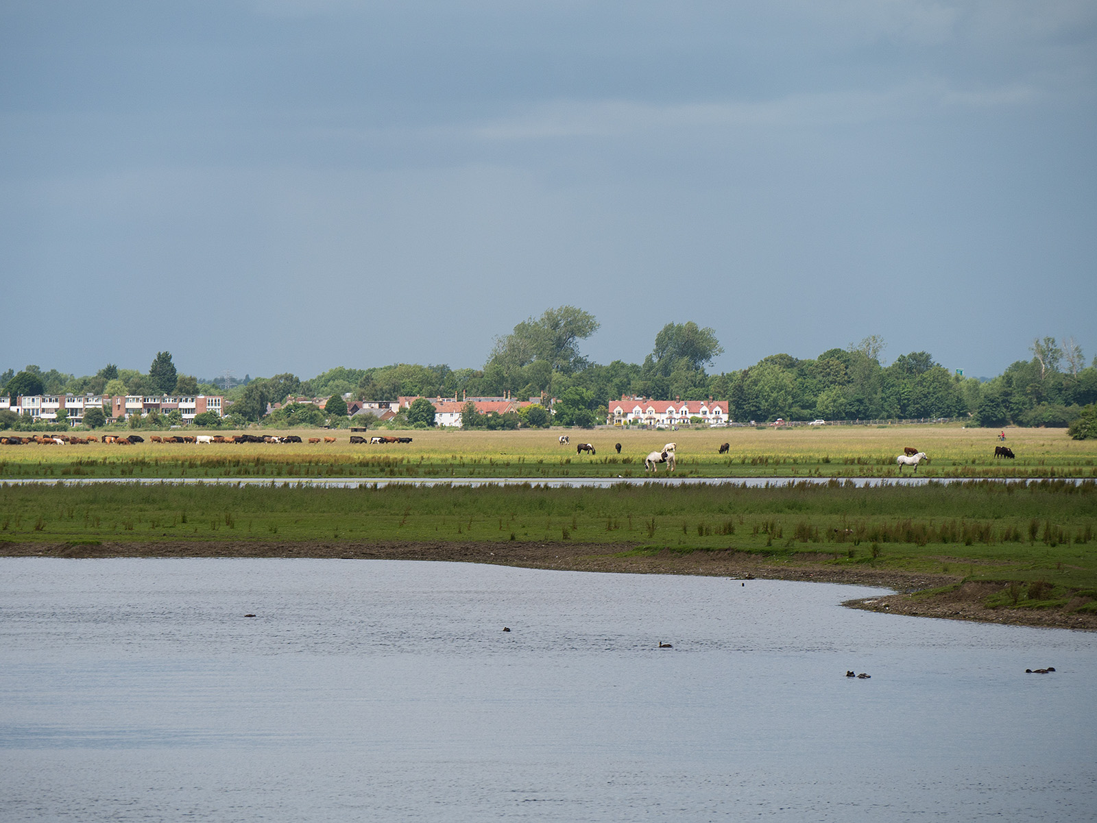
Cattle grazing on Port Meadow
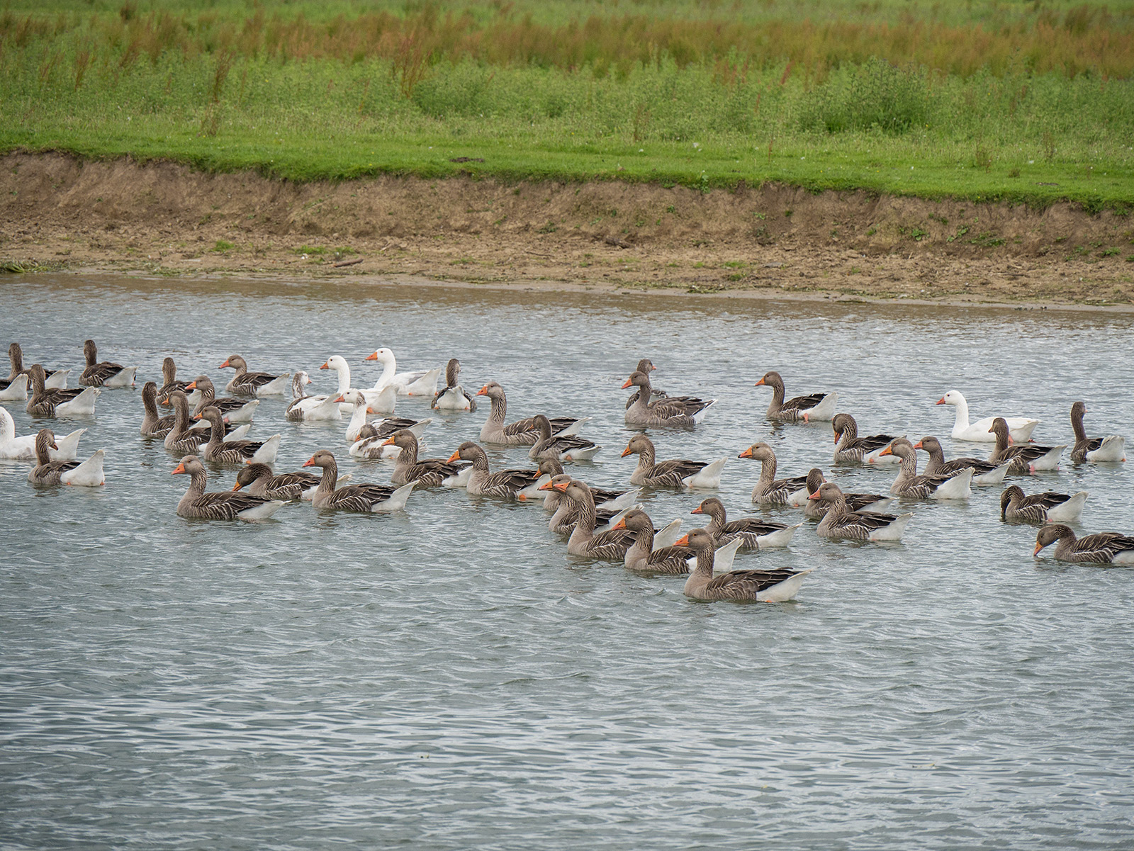
Geese!

Curve of the river near Binsey
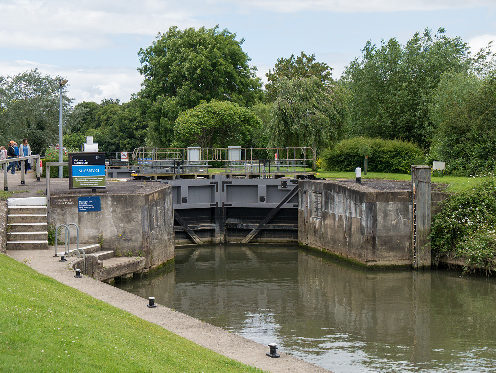
Approaching Godstow Lock
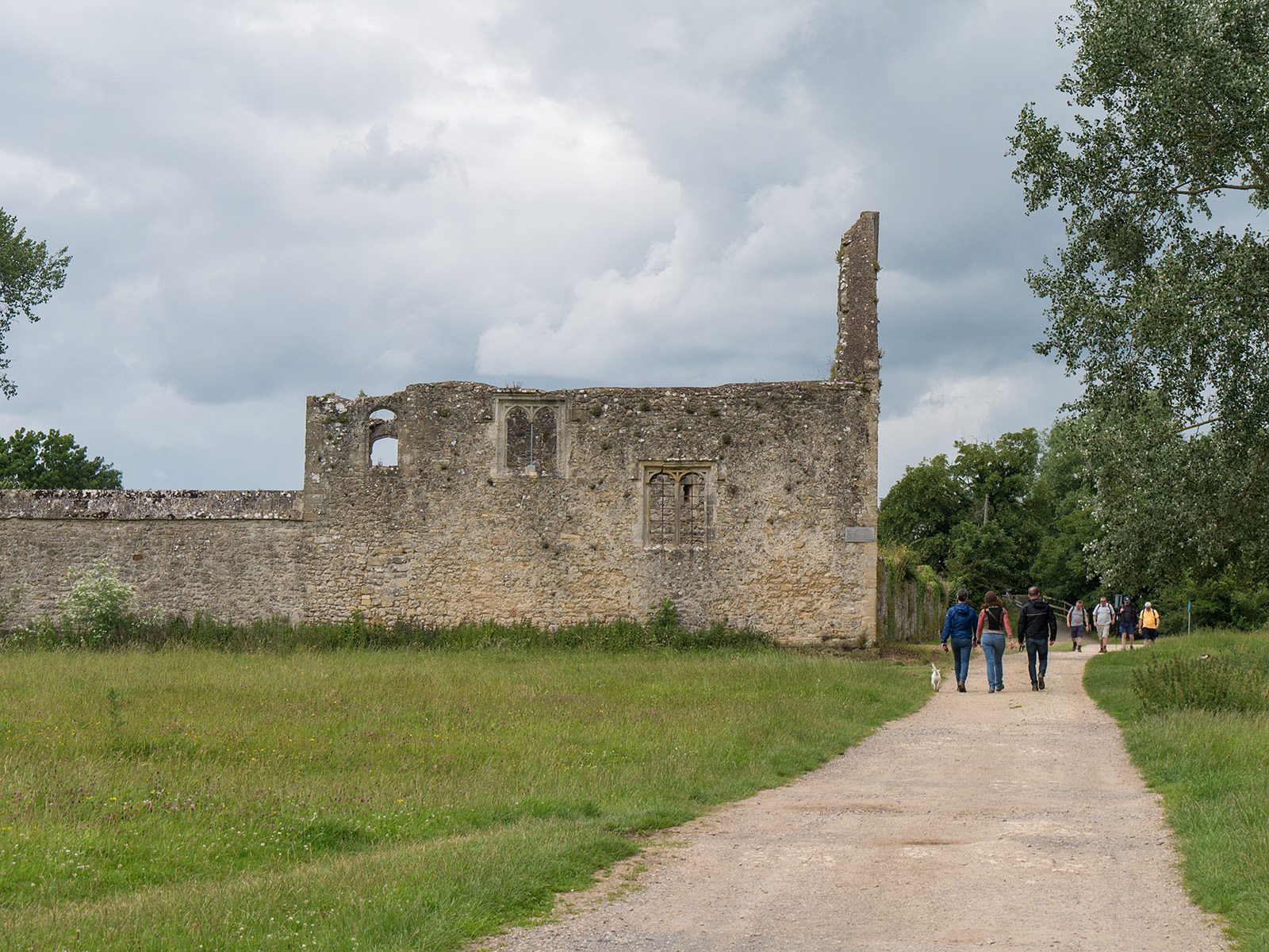
Remains of Godstow Abbey
Looking back to the bridge at Godstow

A34 Western Bypass bridge
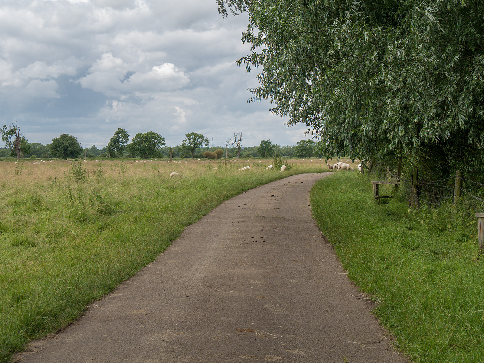
Sheep grazing west of the A34 bridge – mind your step!
The first of a series of meanders north west of Godstow
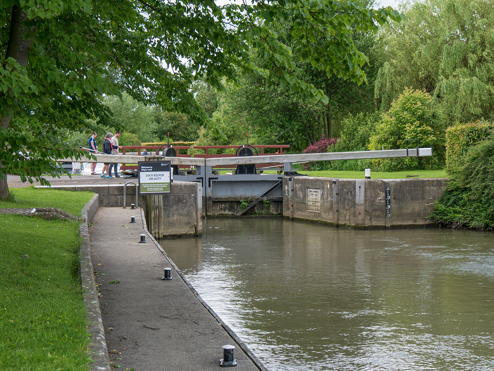
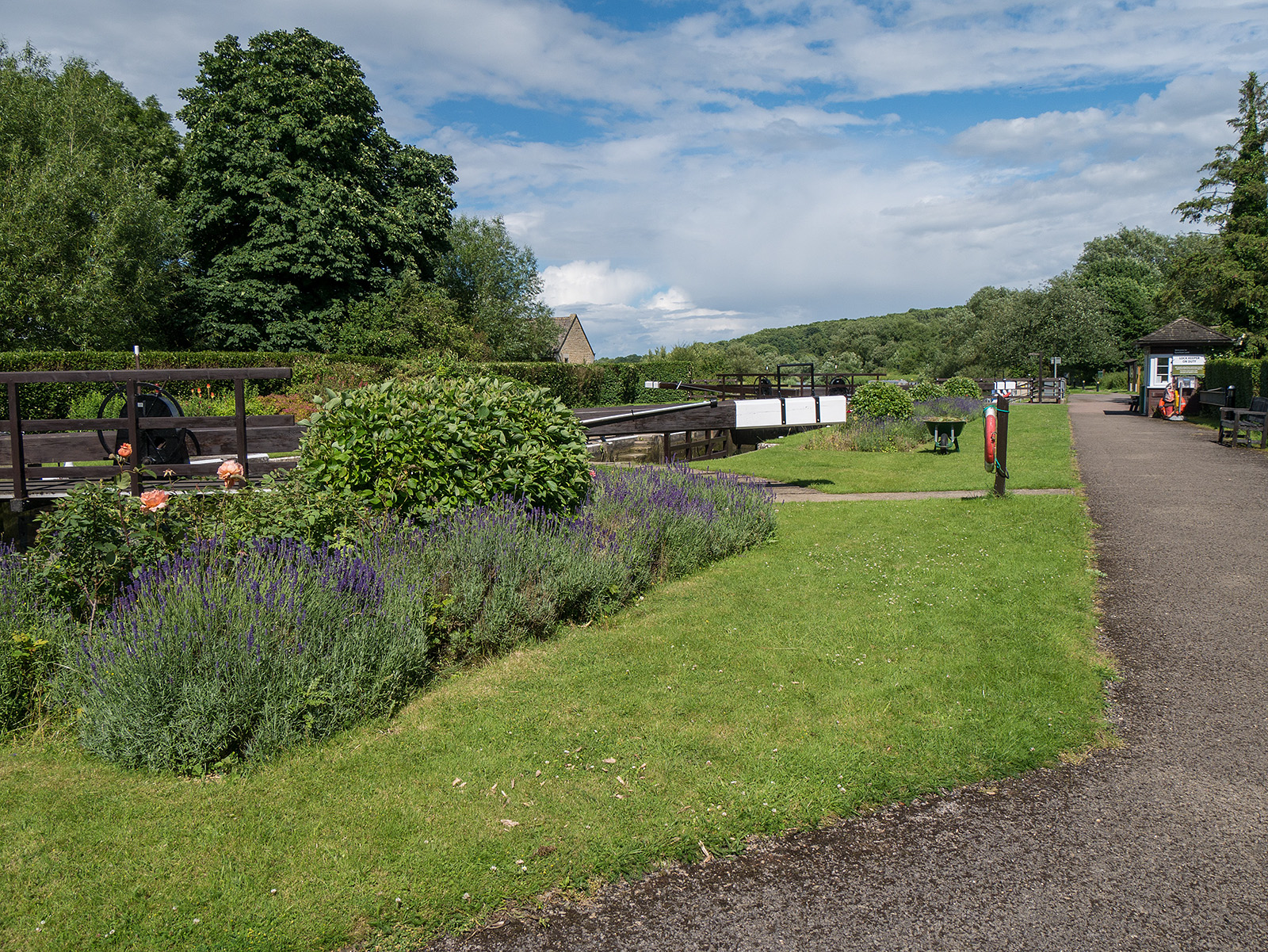
Approaching King’s Lock – manually operated
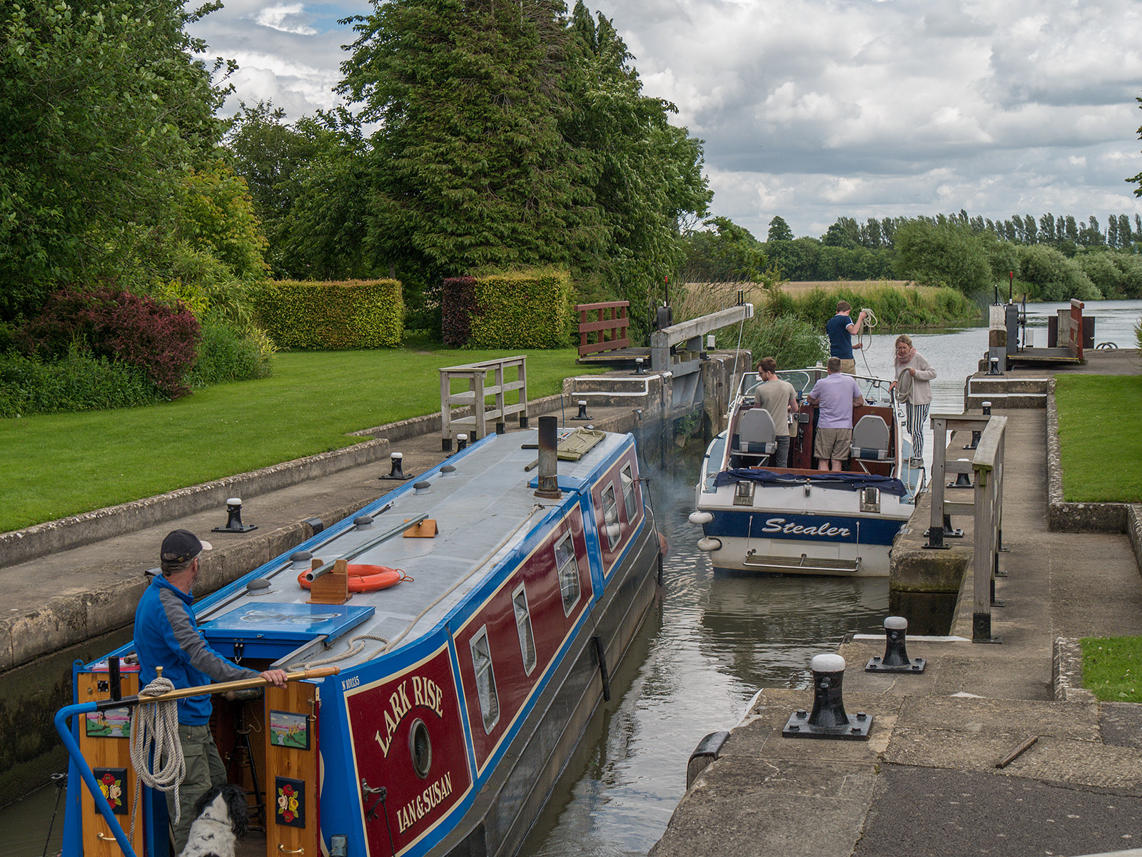
Looking back as boaters exit King’s Lock
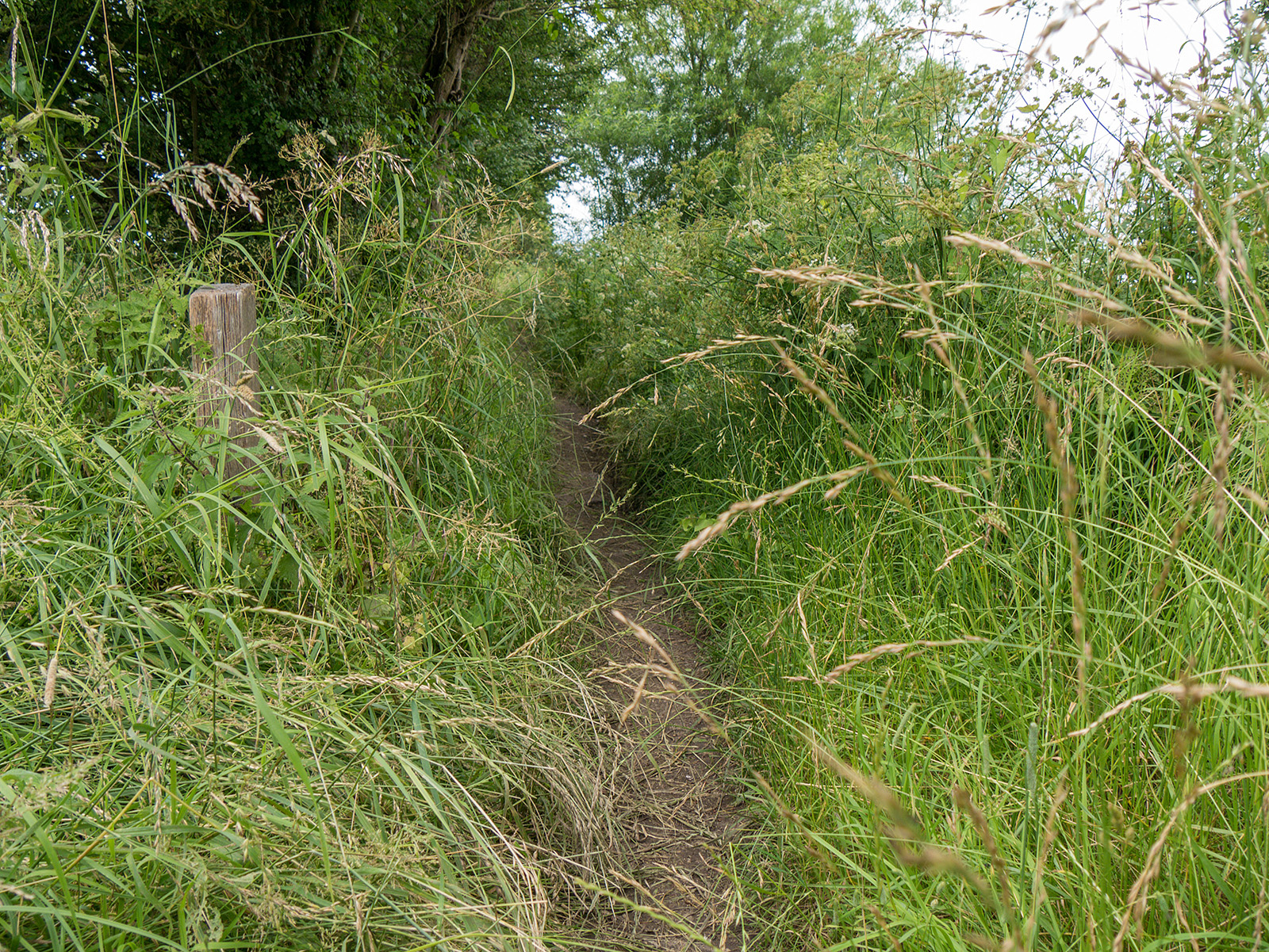
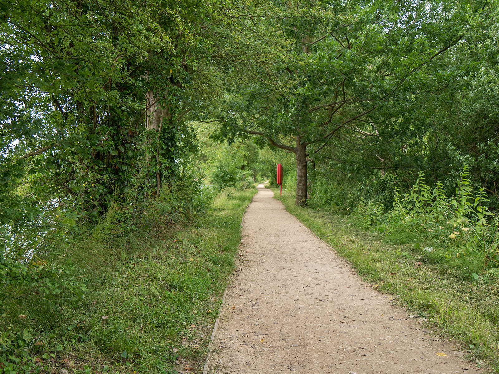
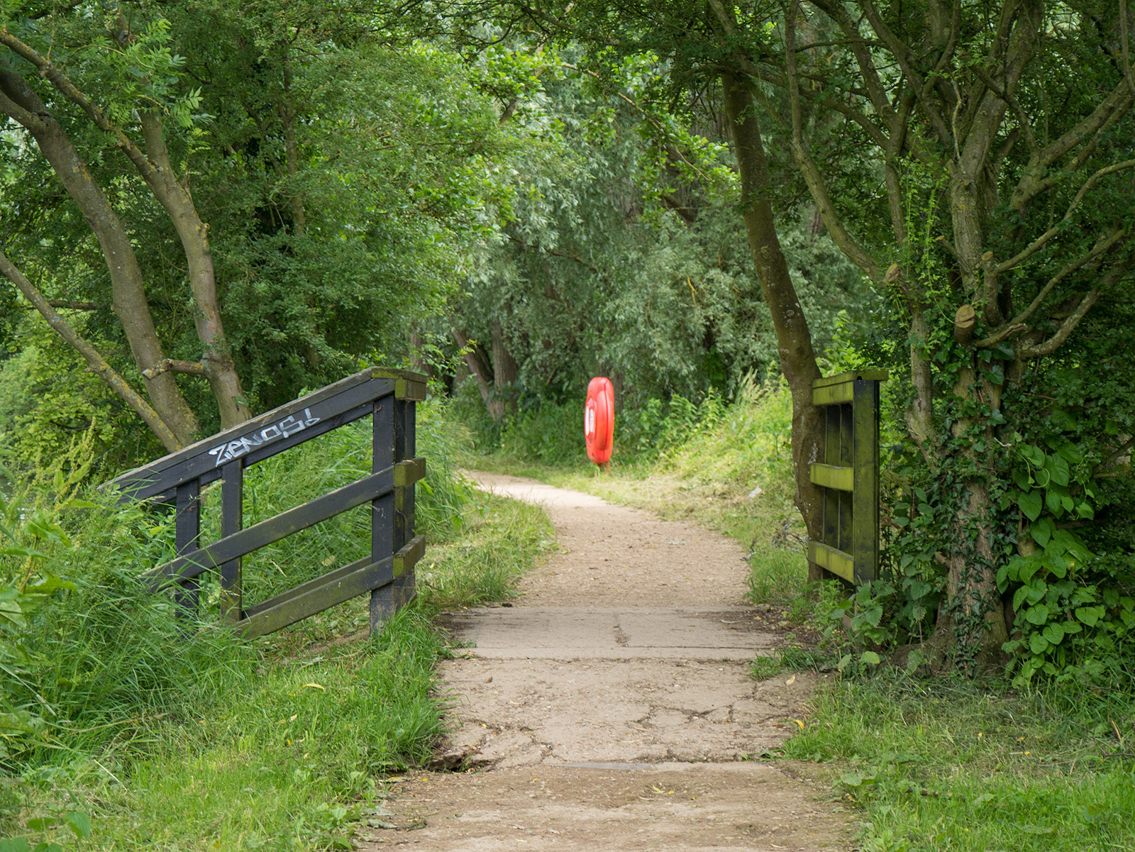
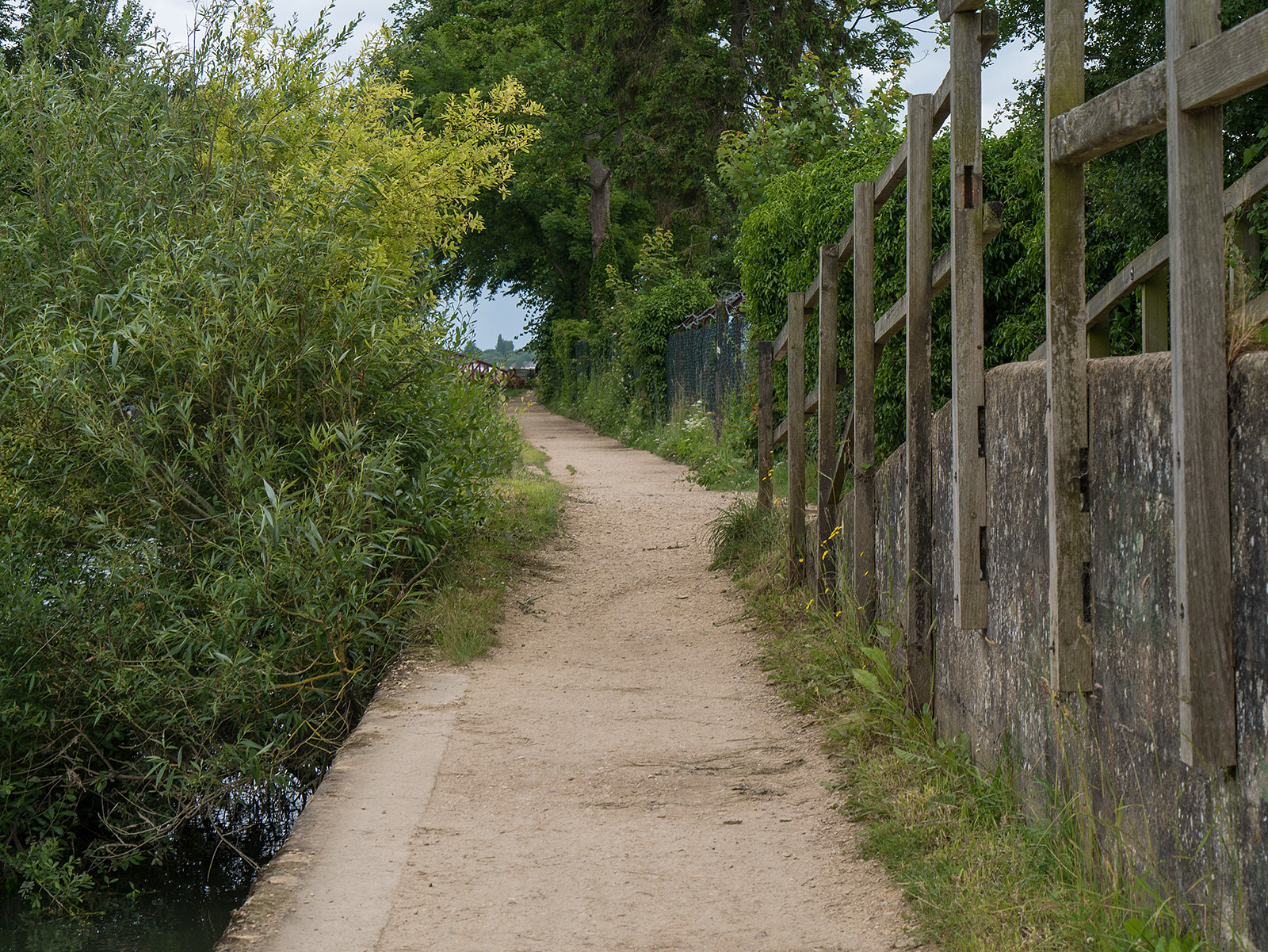
The path in many areas is overgrown by grasses both sides – in the rain that came later, these soaked the bottom of my trousers
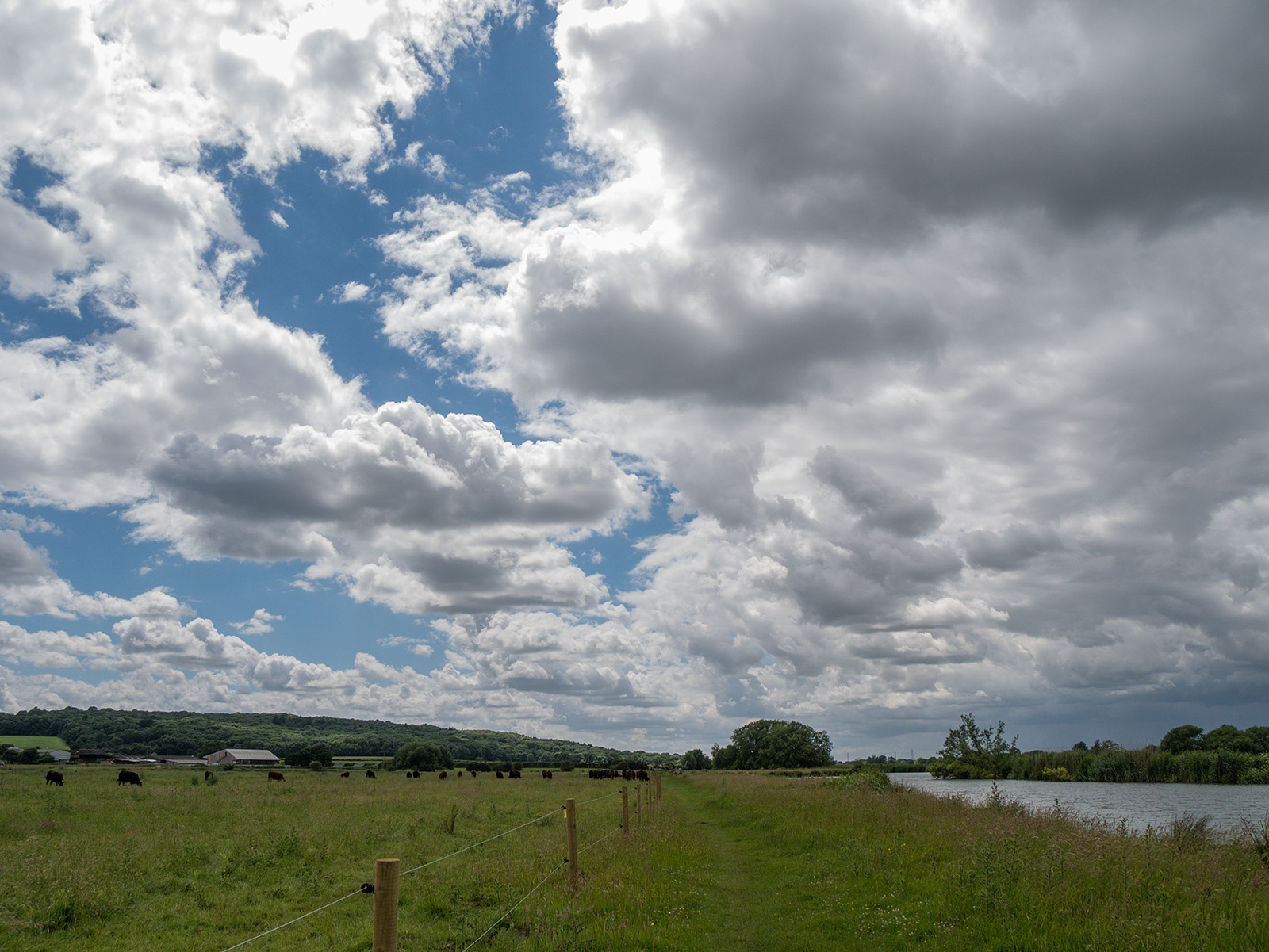
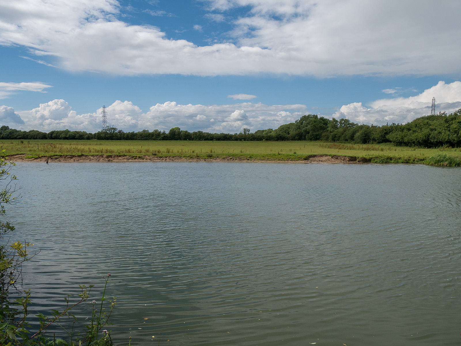
Big sky day as the river turns to head westwards
And another meander towards the north
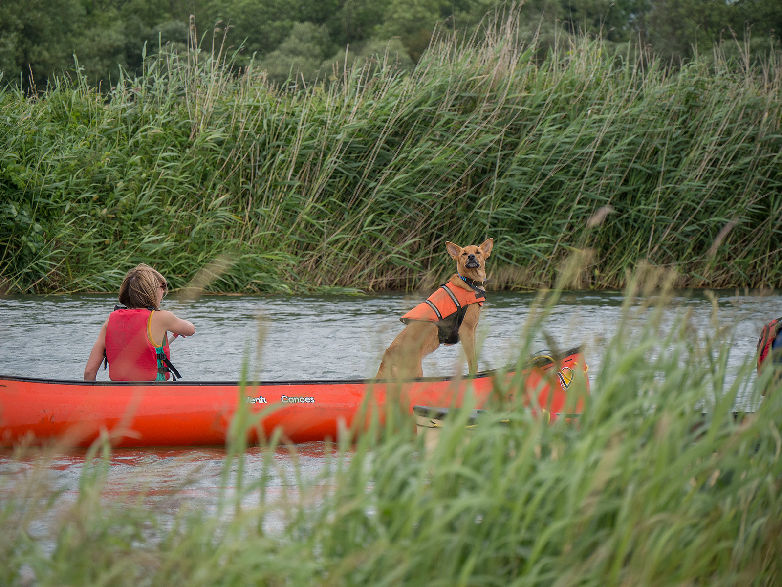
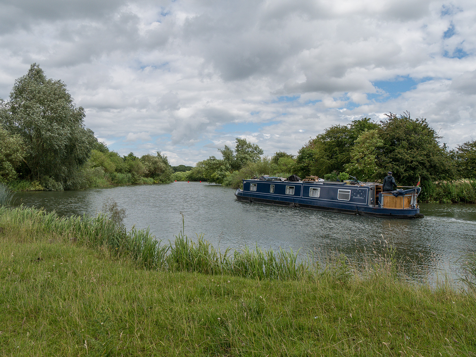
Captain of the boat
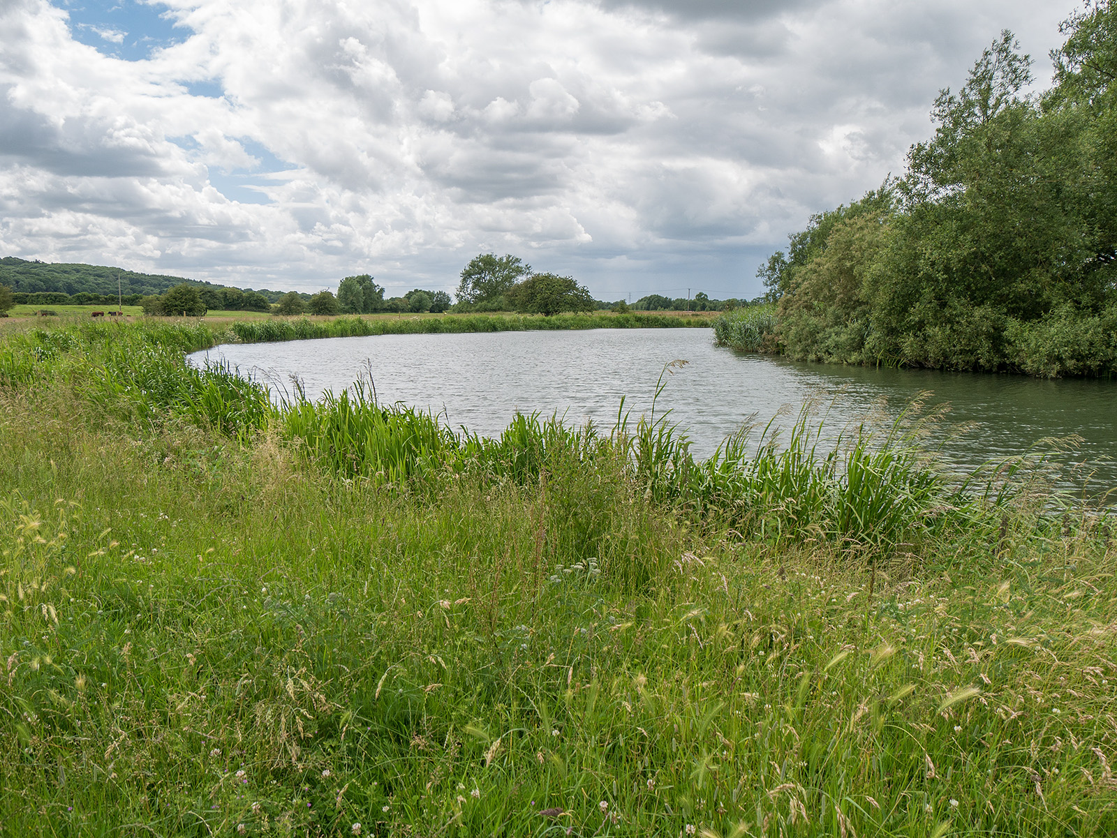
Clearly a floodplain here – lots of small tributaries branch off towards the north and the banks are very low to the river
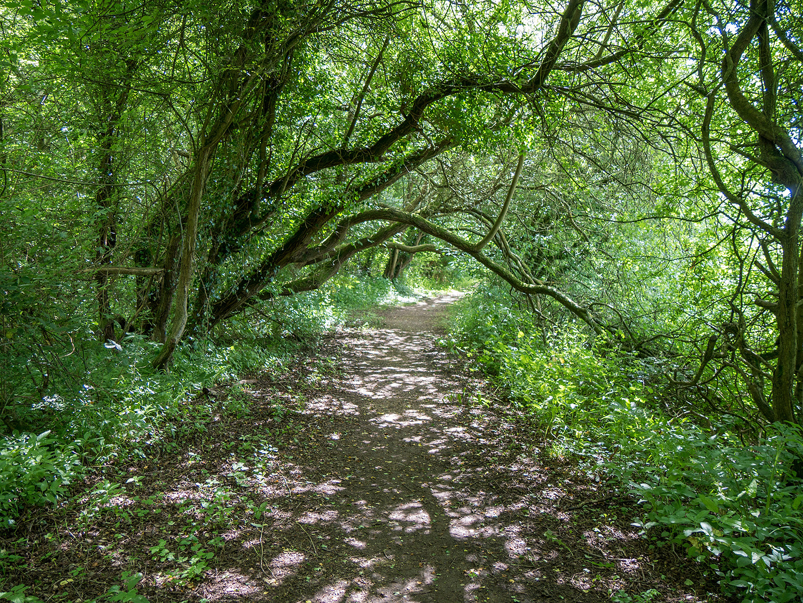
Overarching tree branches, just high enough for me to walk under without stooping
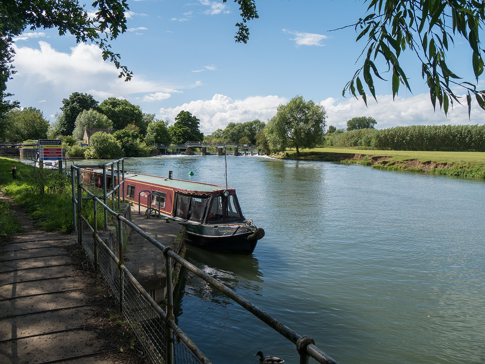
Approaching the weir and Eynsham lock
Eynsham lock
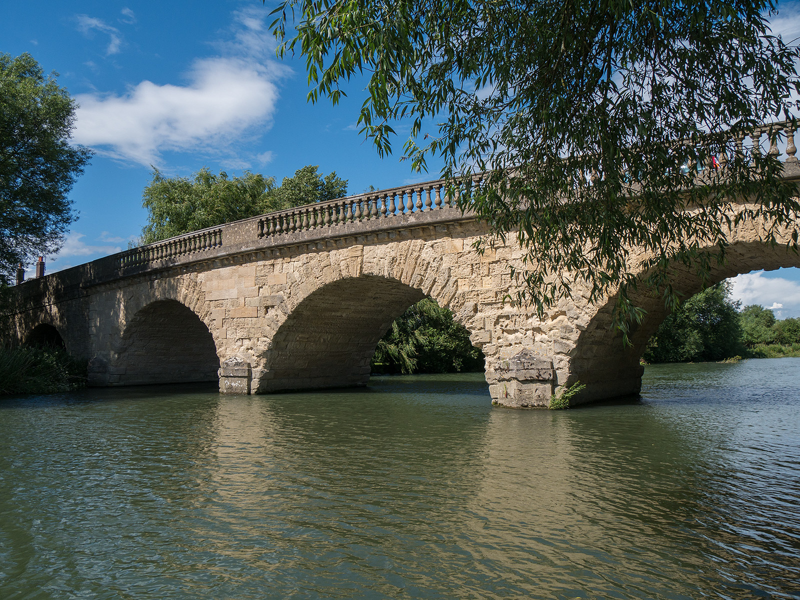
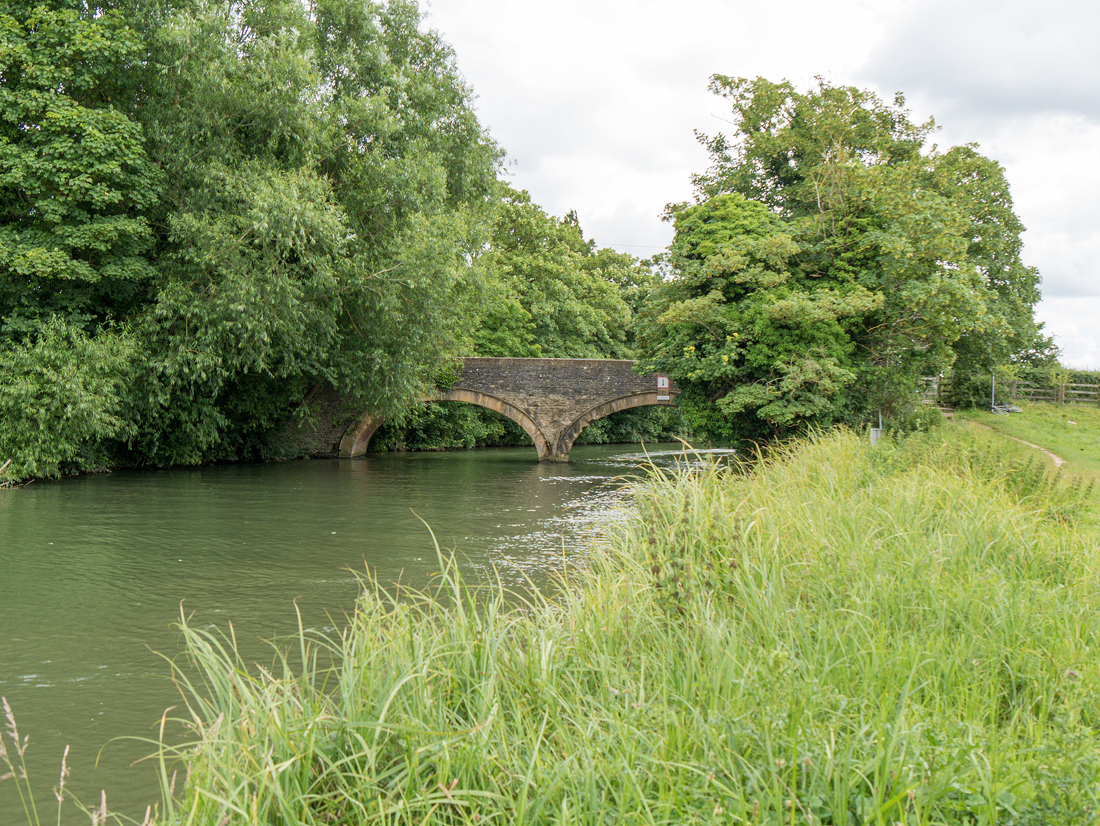
Swinford toll bridge B4044
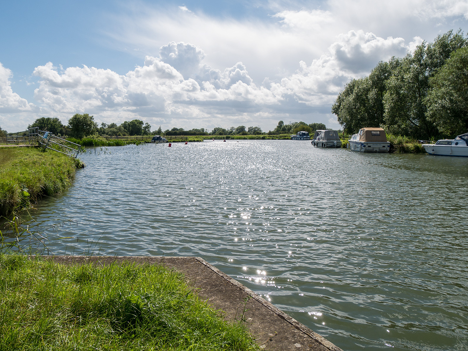
Sparkling water and mixed clouds heading SW from Swinford bridge
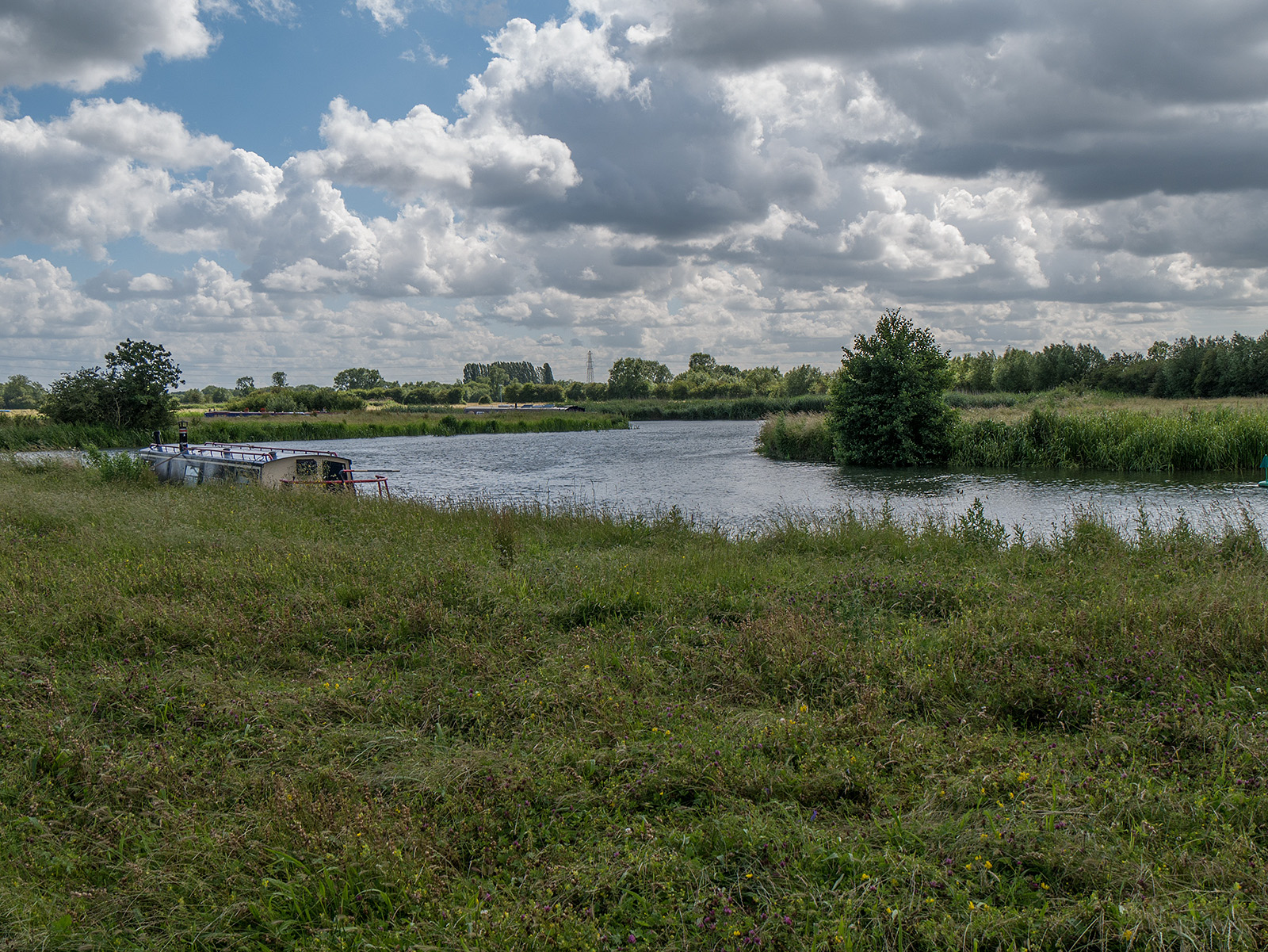
More meanders in the river and cumulus clouds meandering into view with more rain
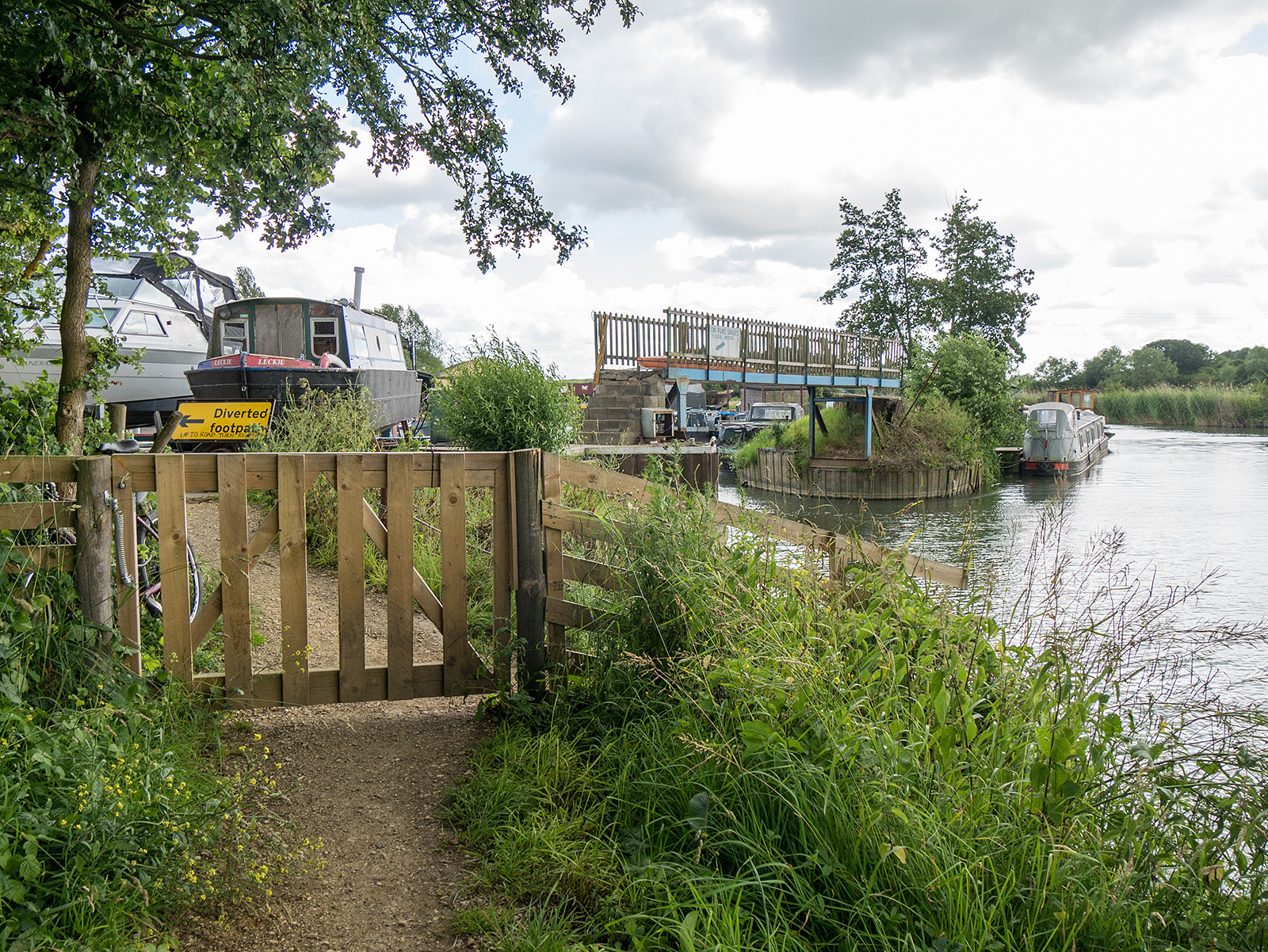
And the end of the walk – the footpath ends and the route follows a driveway up to the B4044 which is then followed for a while before the next walk takes a path from the B4044 and descends back to the river.
Live scrollable/zoomable map of the walk: