

Second walk of the 2016 season continues the Thames path onwards from Dorchester. This was a 9 mile wall plus around 1.5 miles walking at both ends (Oxford rail to X39 bus, Dorchester bypass to Thames, Thames to X3 bus, X3 bus to Oxford rail. Very tiring!
Note that due to the large meandering loops in the river, various landmarks such as Didcot power station appear at different aspects throughout the walk. The weather was changeable – only a couple of minutes of rain part way into the large loop after Day’s lock, but clouds moving all around.
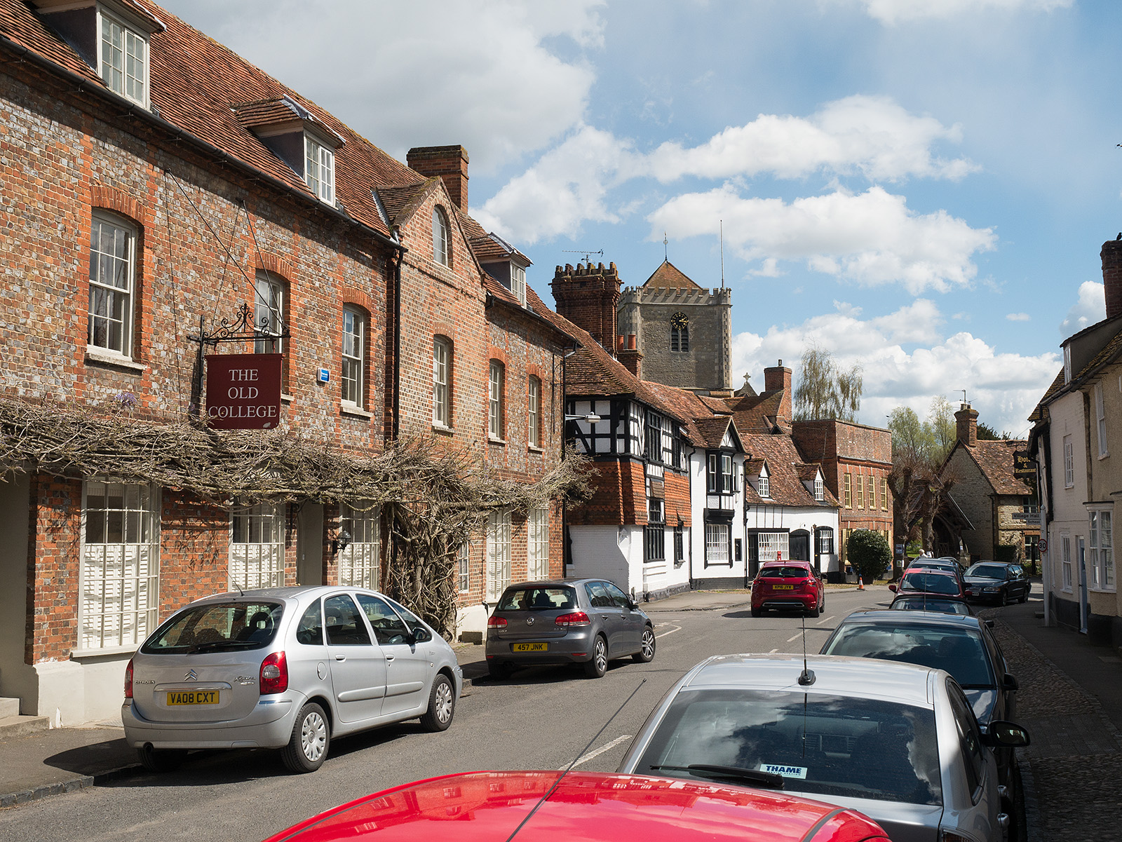
Heading through the streets of Dorchester on Thames
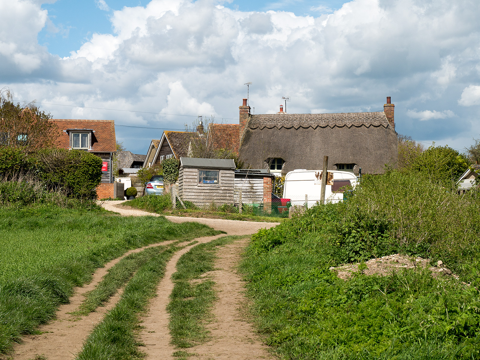
Looking back to the way through Dorchester to the fields and then to the river
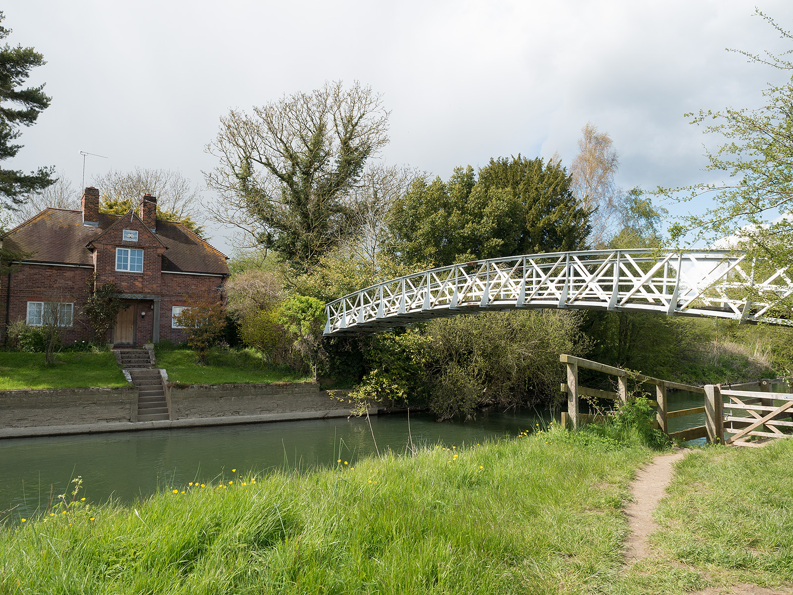
Bridge on the approach to Day’s Lock
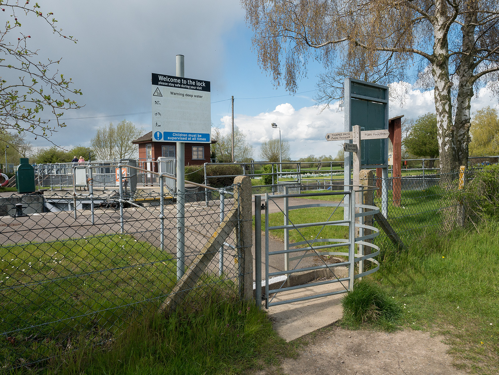
Approaching Day’s Lock
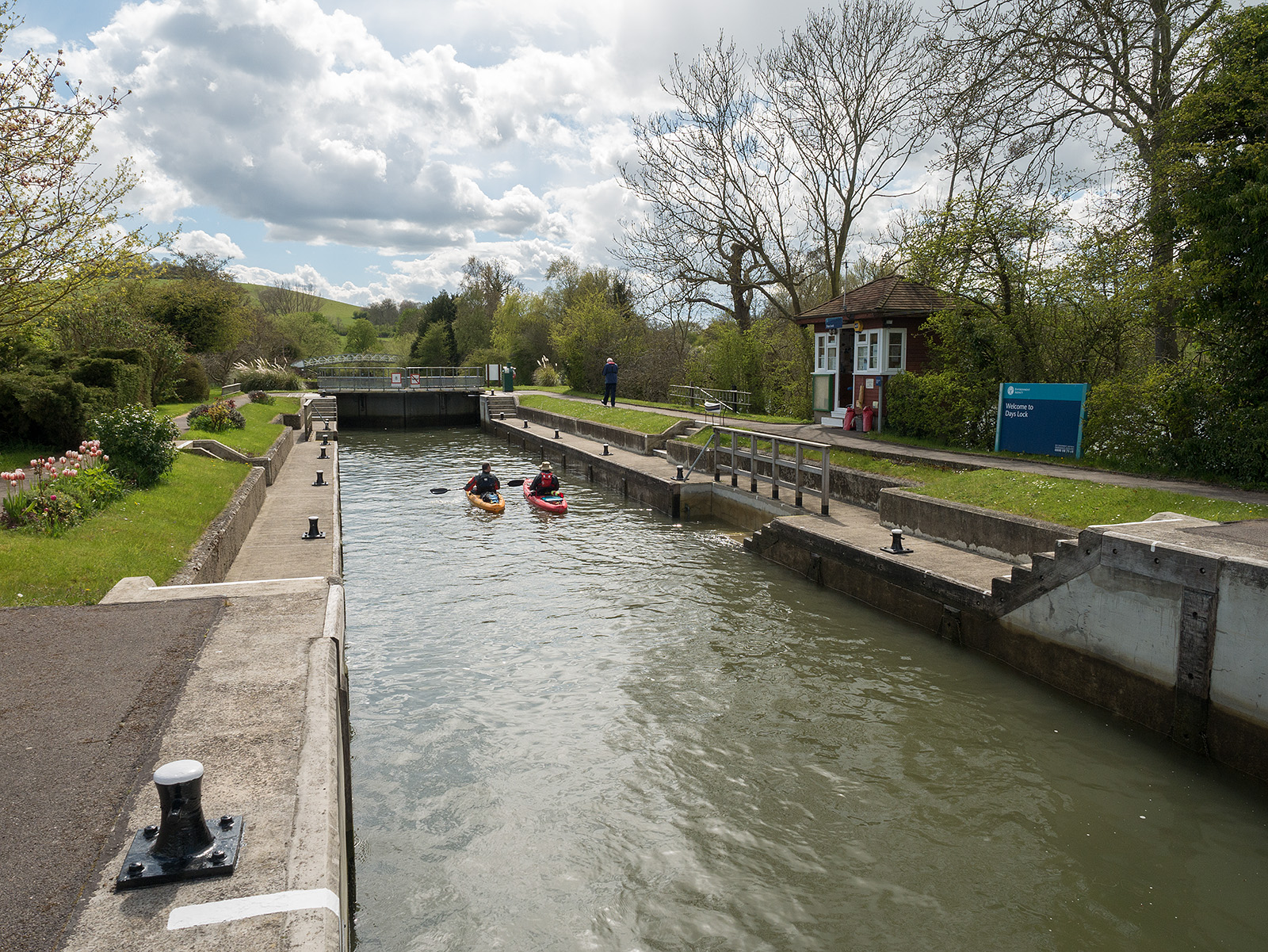
Canoes in Day’s Lock

View upstream from Day’s Lock

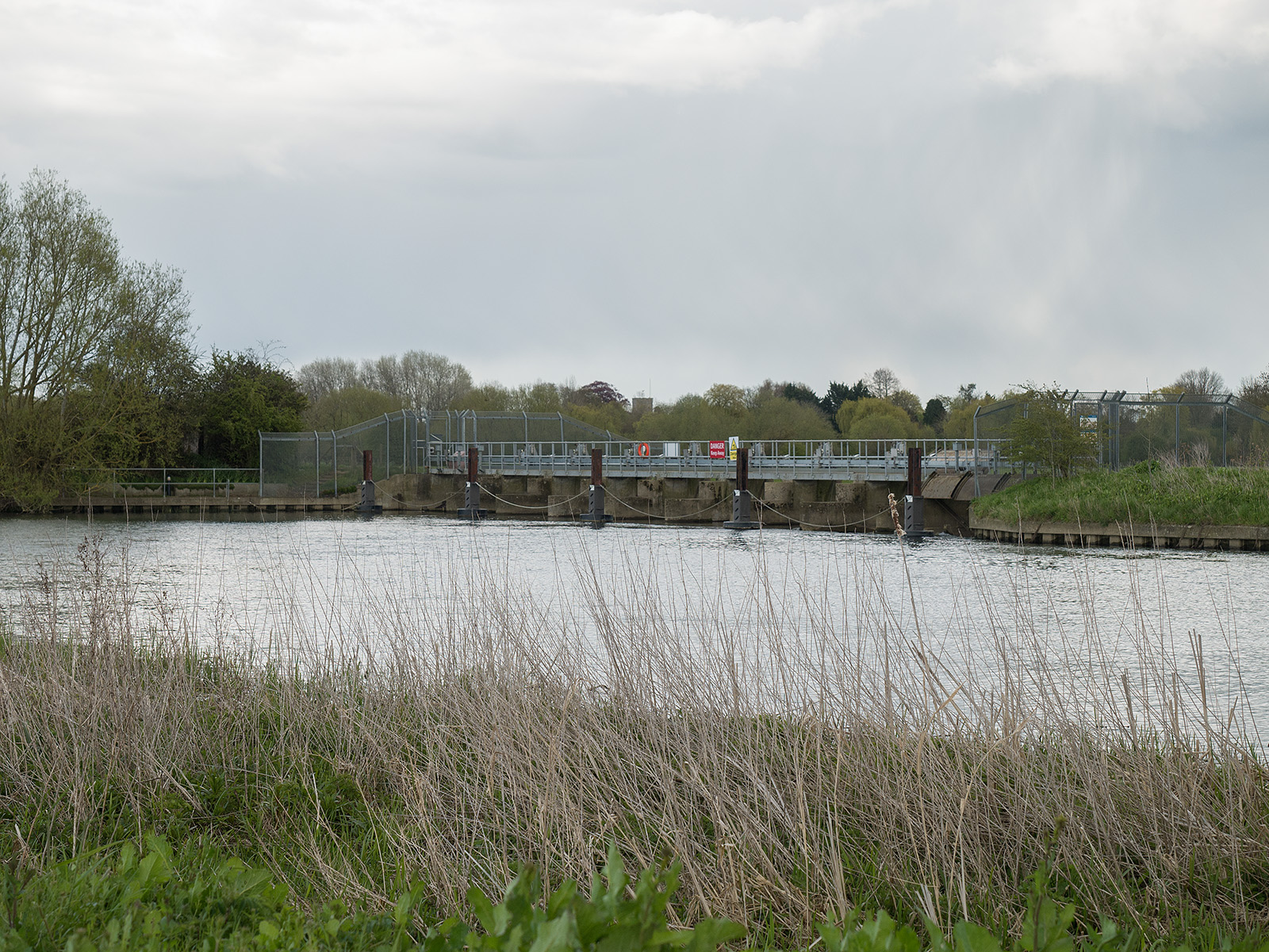
The weir at Day’s Lock
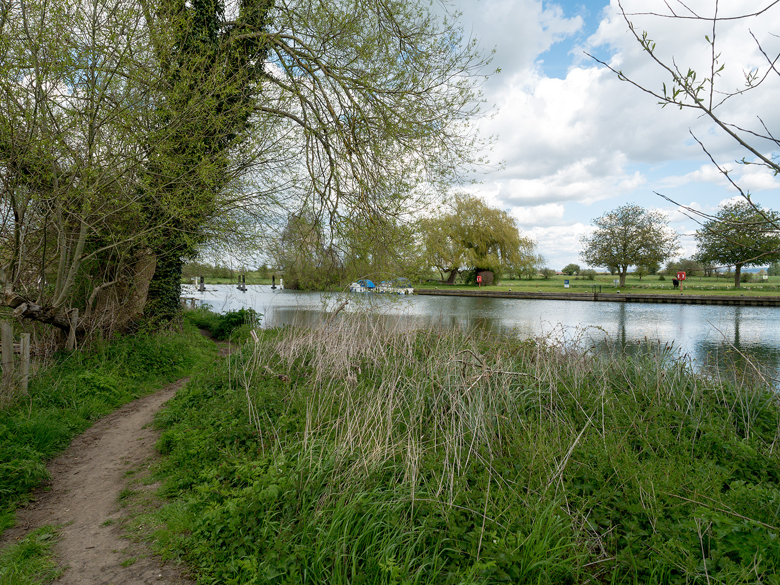
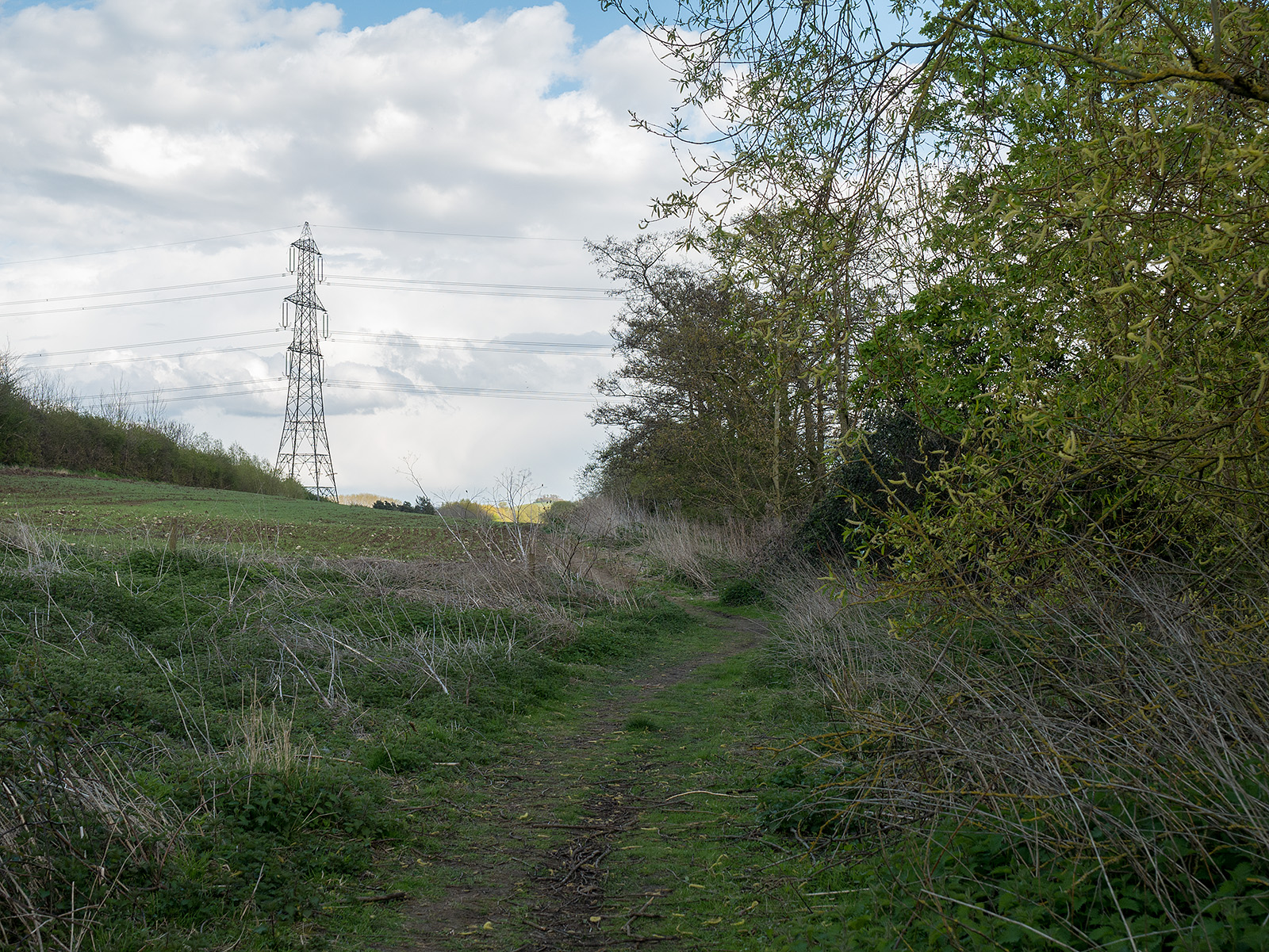
The path north from Day’s Lock
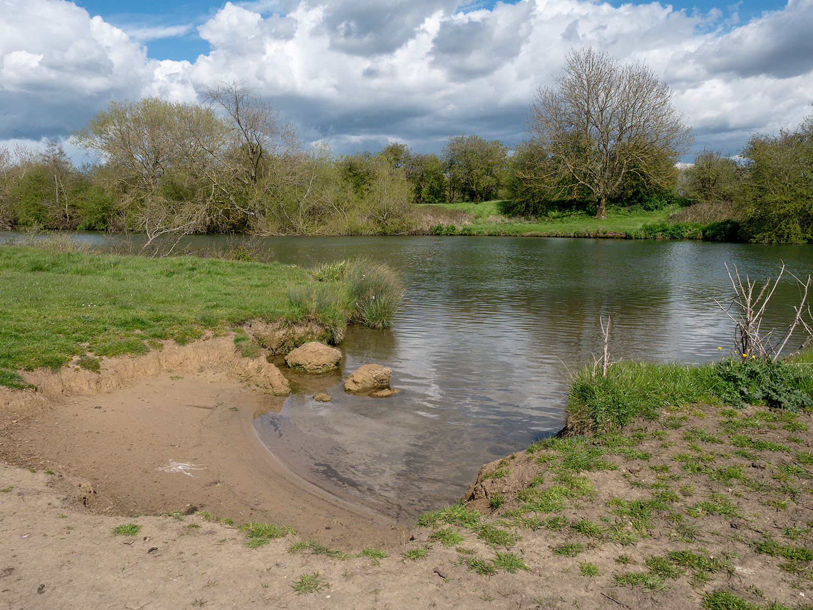
Sandy banks on the long meander
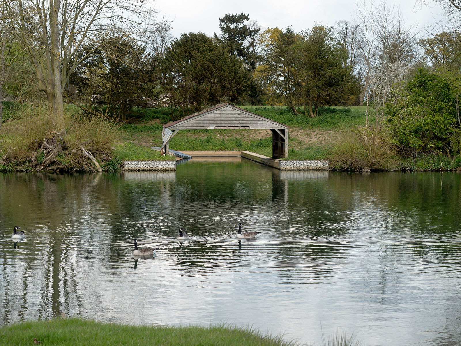
Empty boat dock
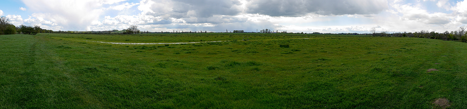
Panorama from the northern-most part of the meandering bend
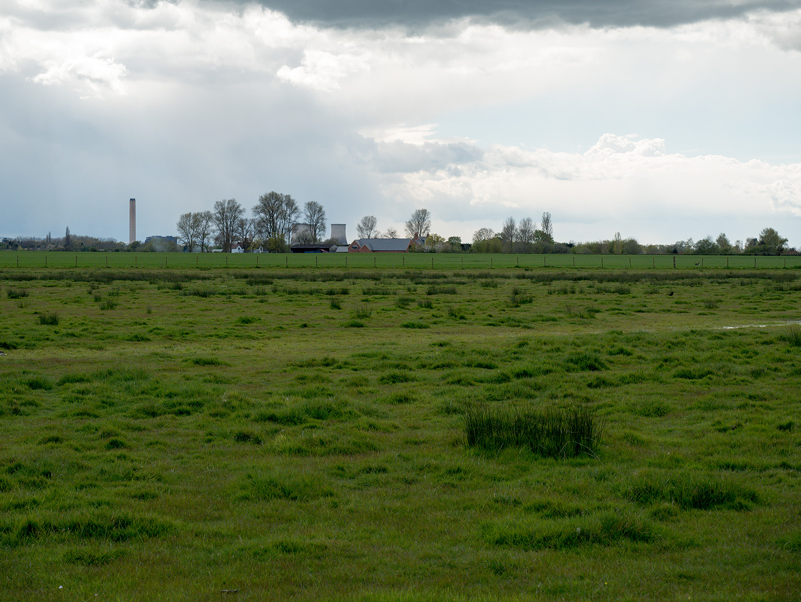
Didcot power station comes into view again – a common feature of this walk
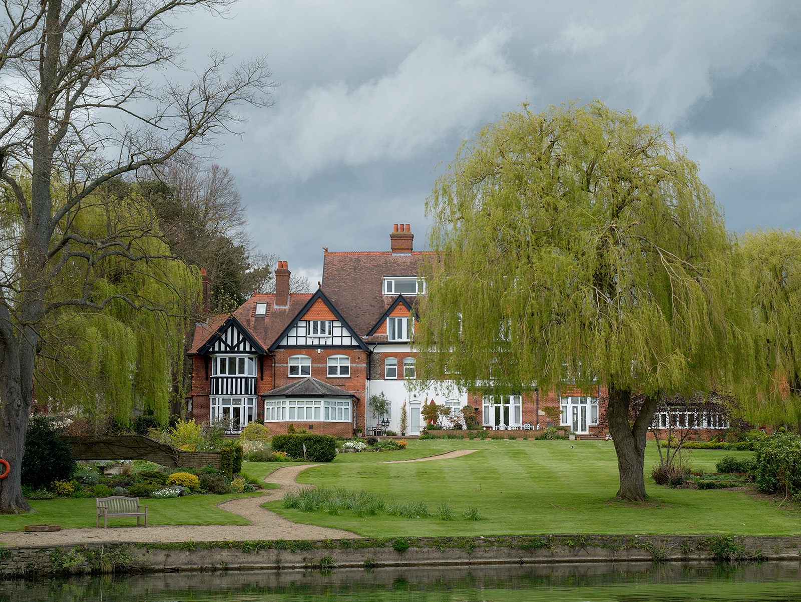
Nice lawns!
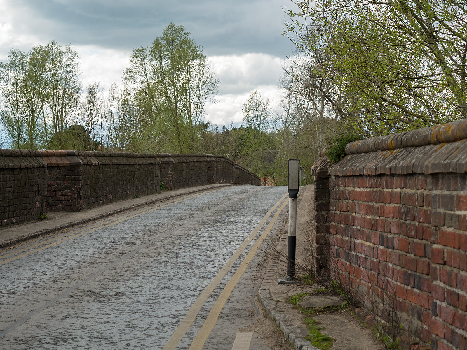
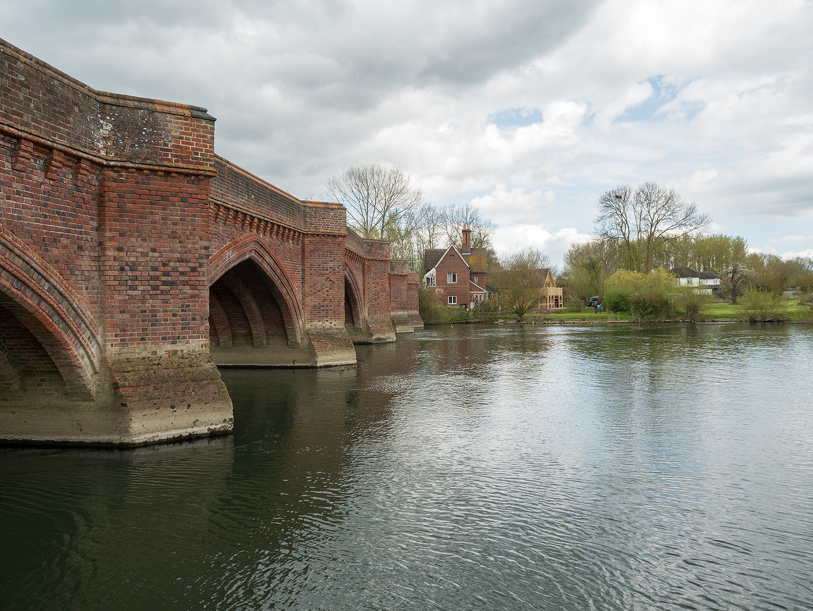
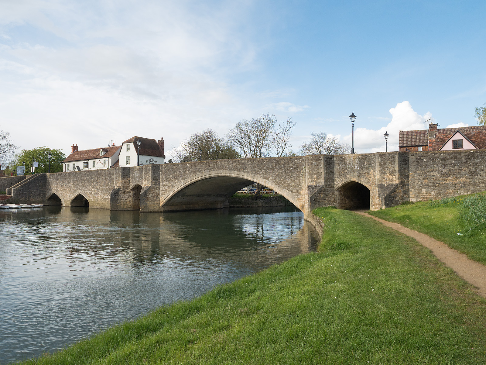
Brick bridge at Clifton Hampden
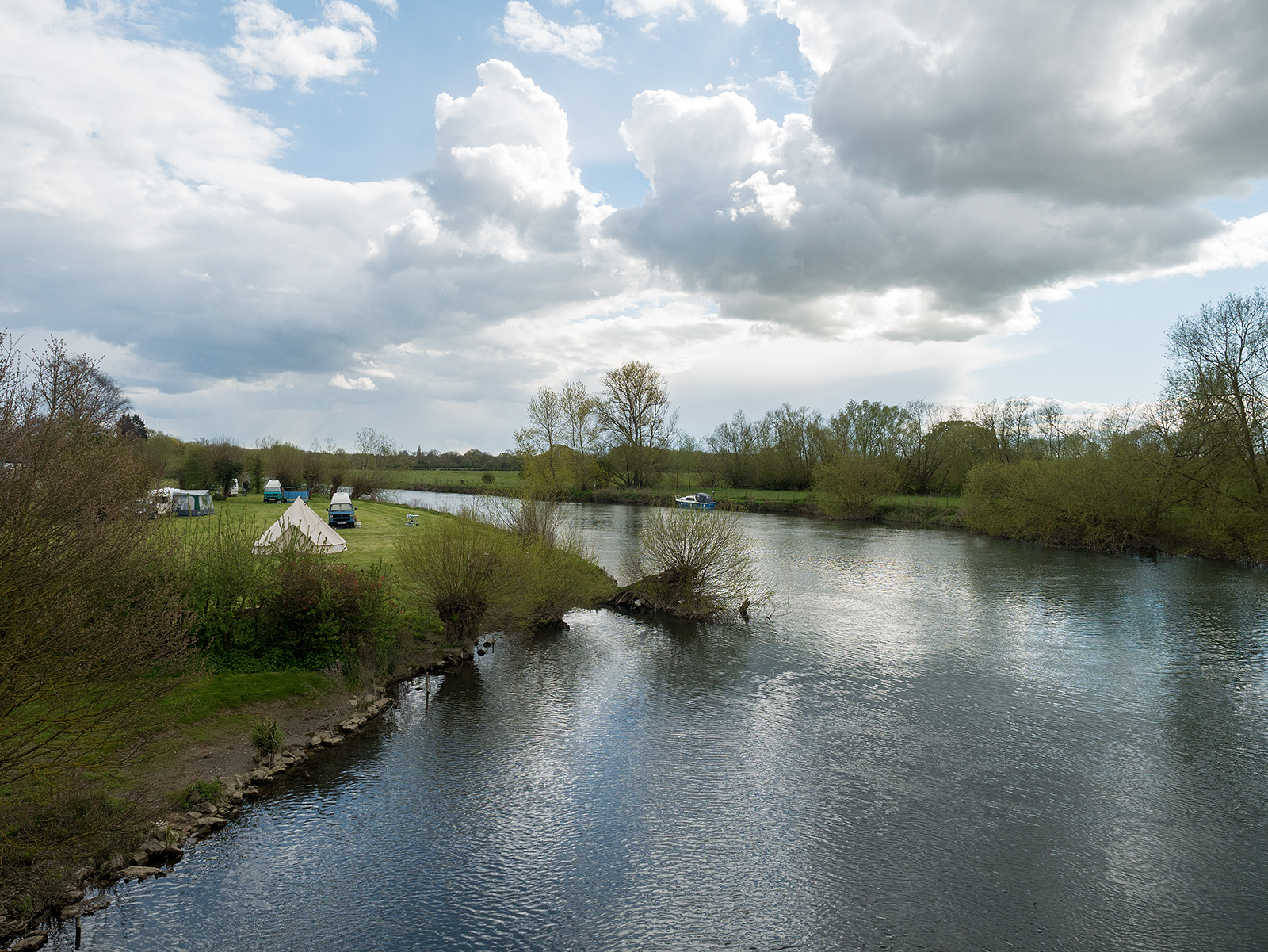
Bridge House caravan park
Back down to the riverside on the opposite bank
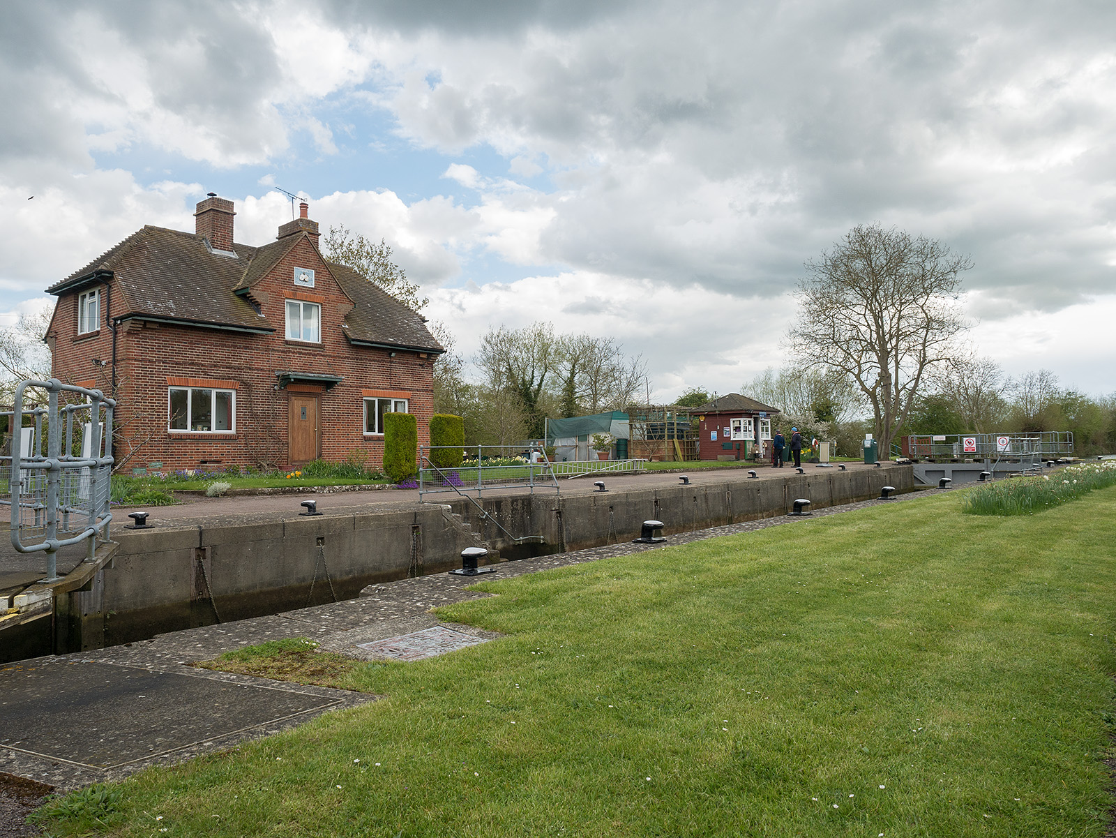
Clifton lock
Lonely bridge – now closed at dangerous
The weir at Clifton cut
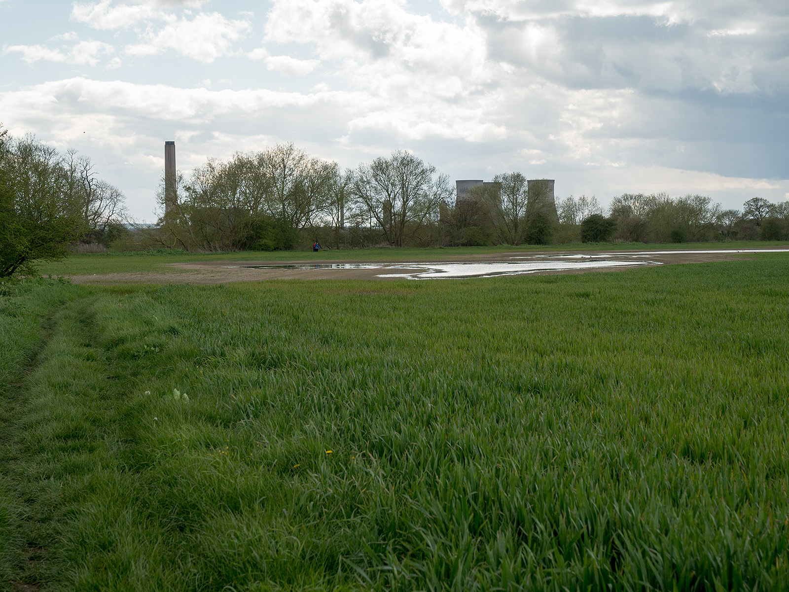
Didcot power station again
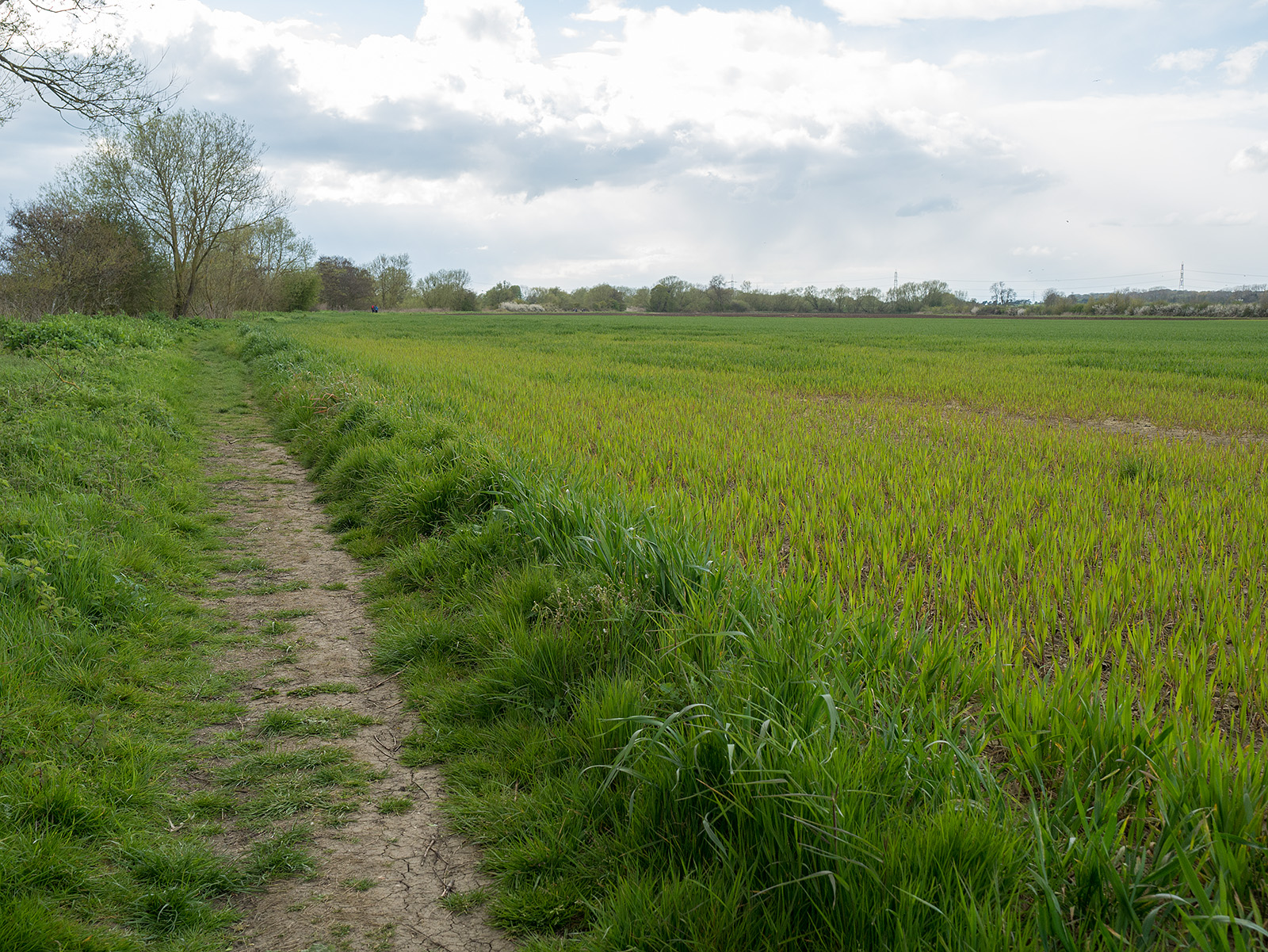
Fields stretch into the distance
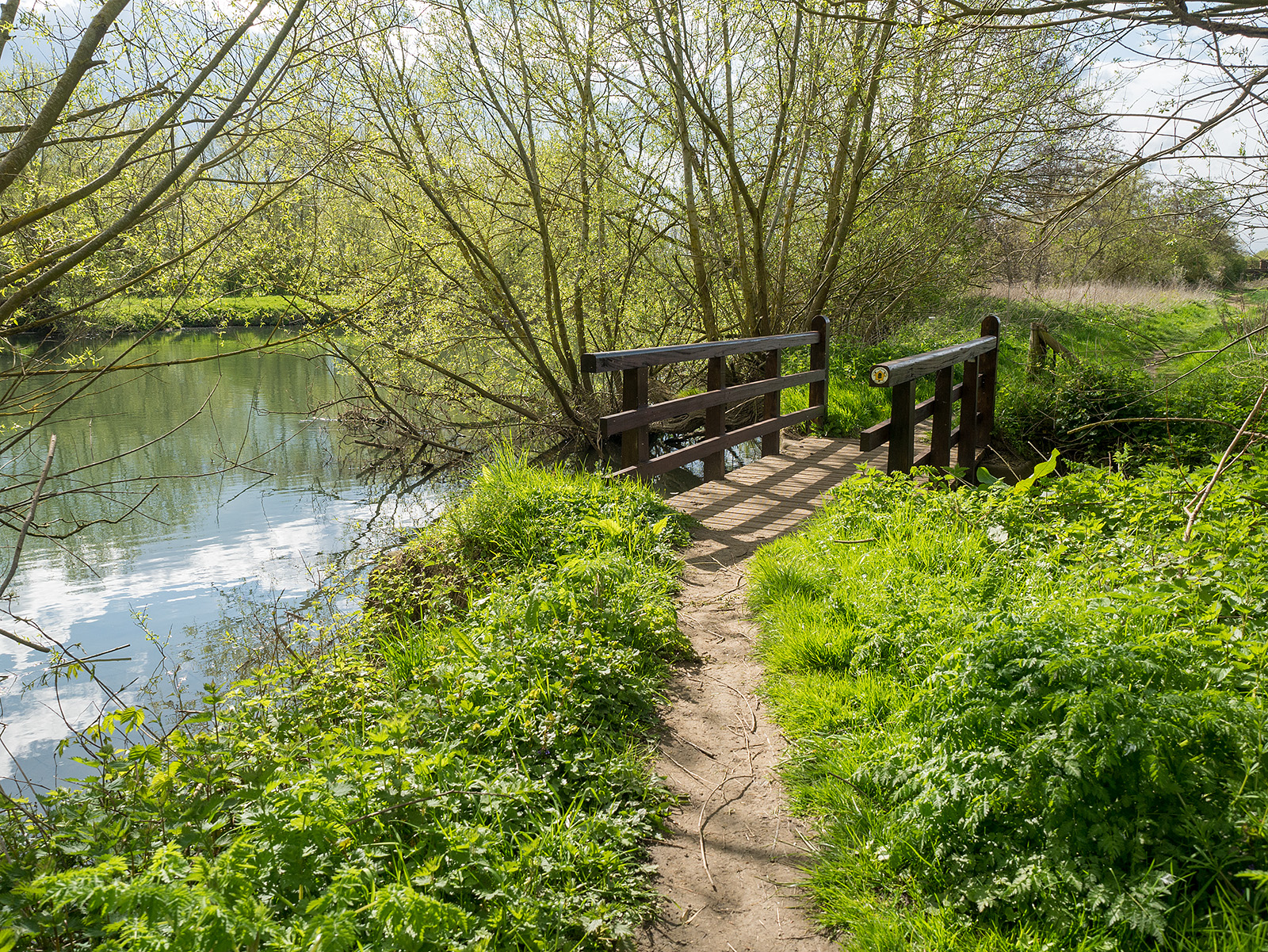
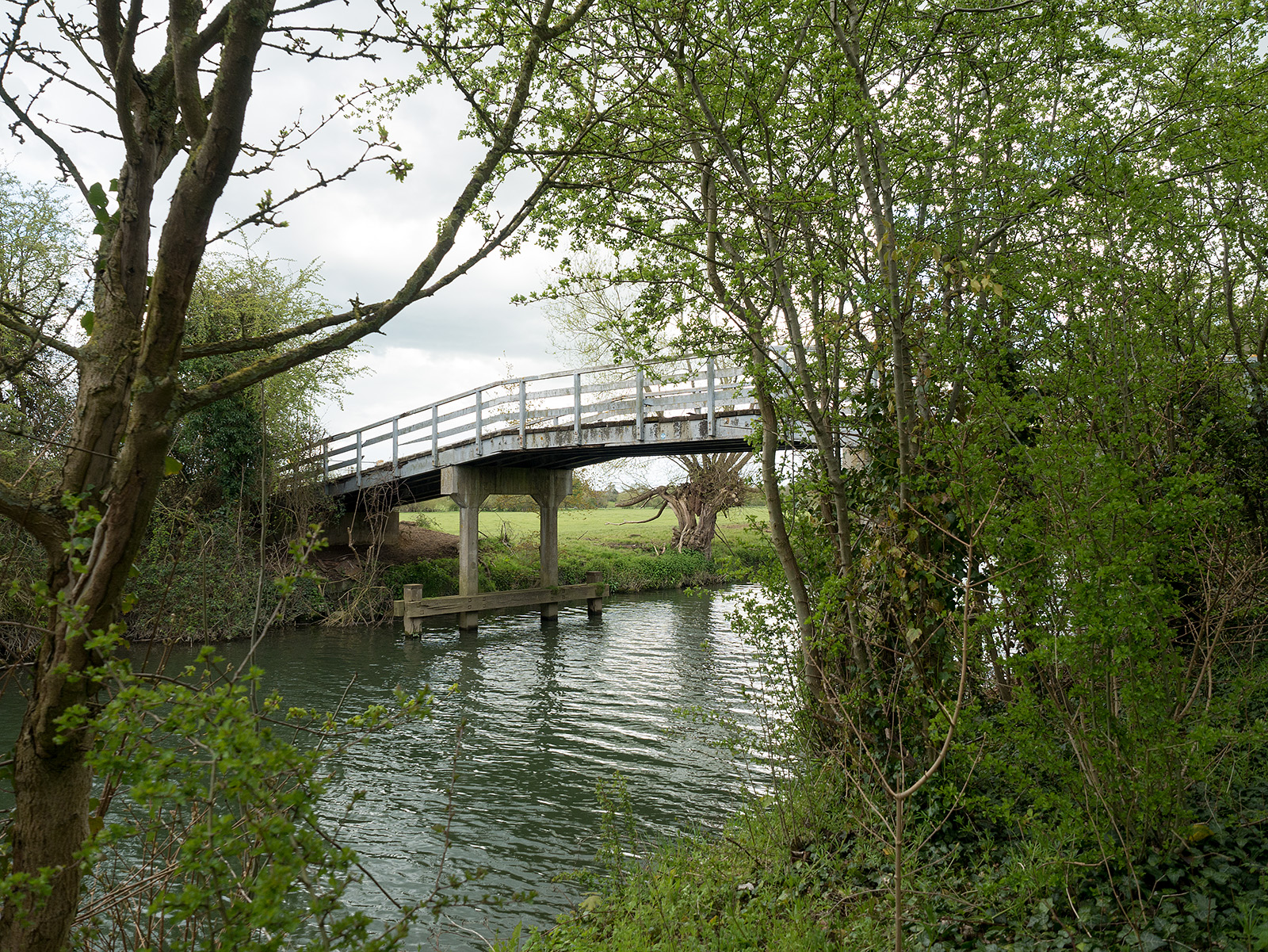
Small wooden bridge breaks up the monotony of the walk across fields
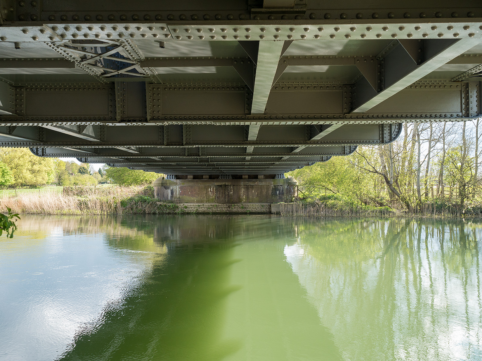
Underneath Appleford railway bridge
Looking back at awkward section (camber tires the right ankle)
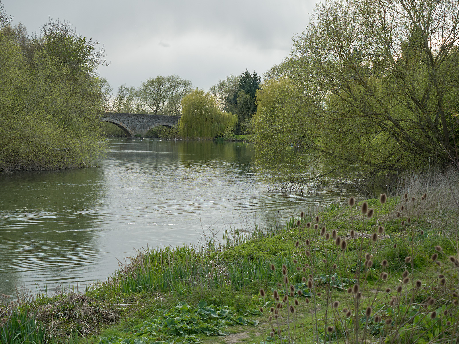
Approaching Culham bridge
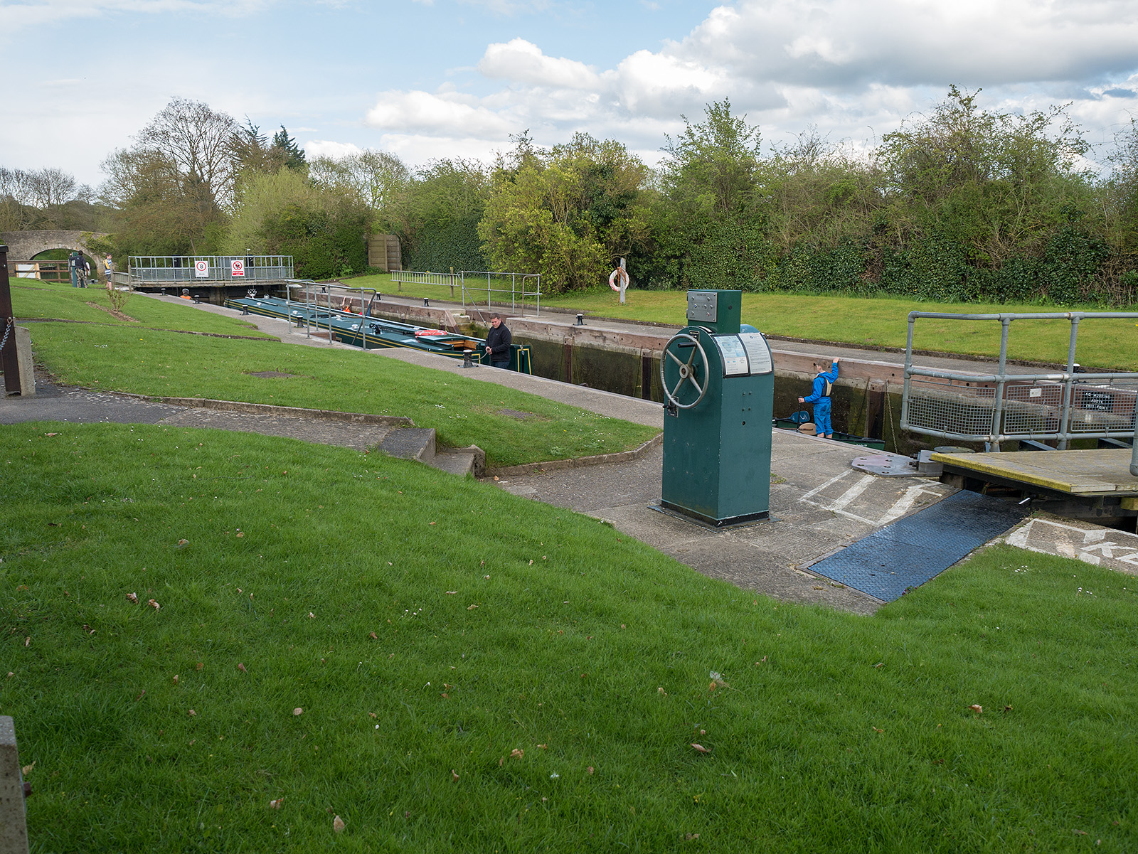
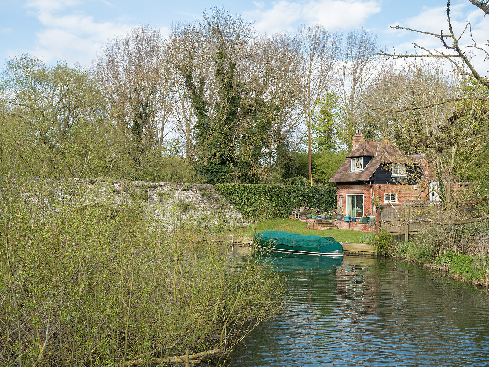
Culham lock

That power station again!
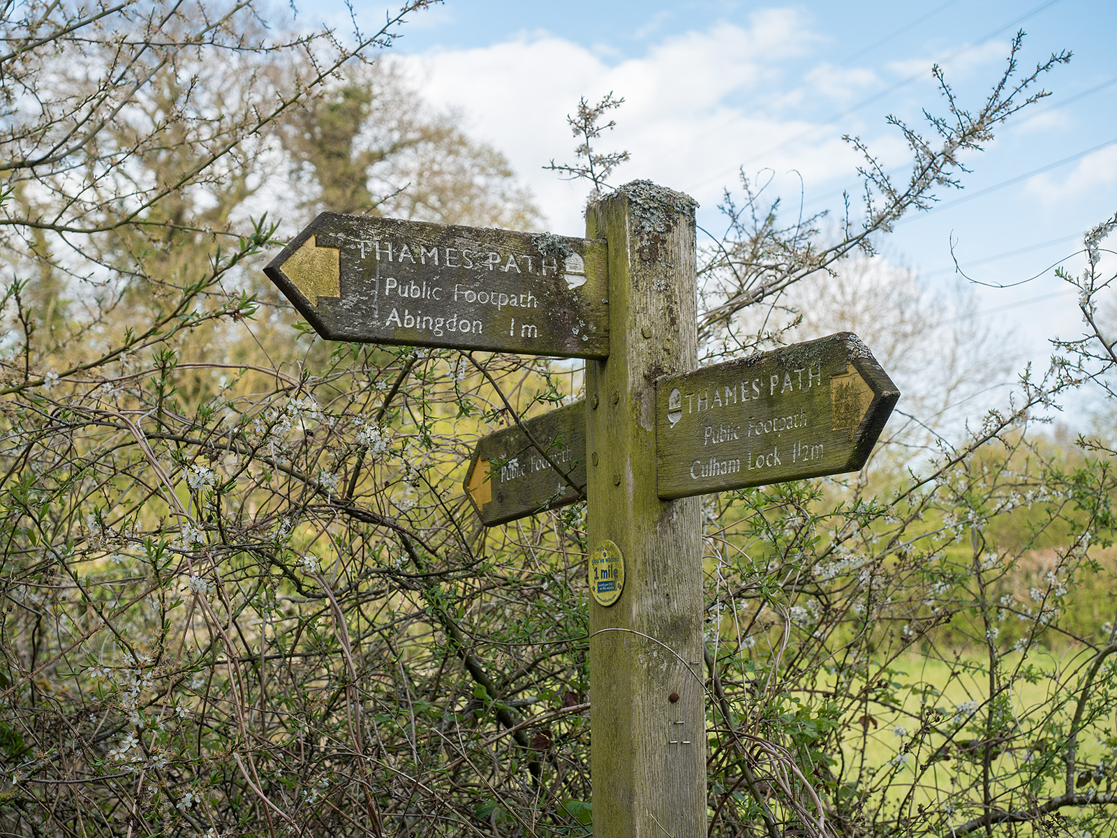
Ahh – only one mile remains
From the new wooden bridge, looking north to the older stone one
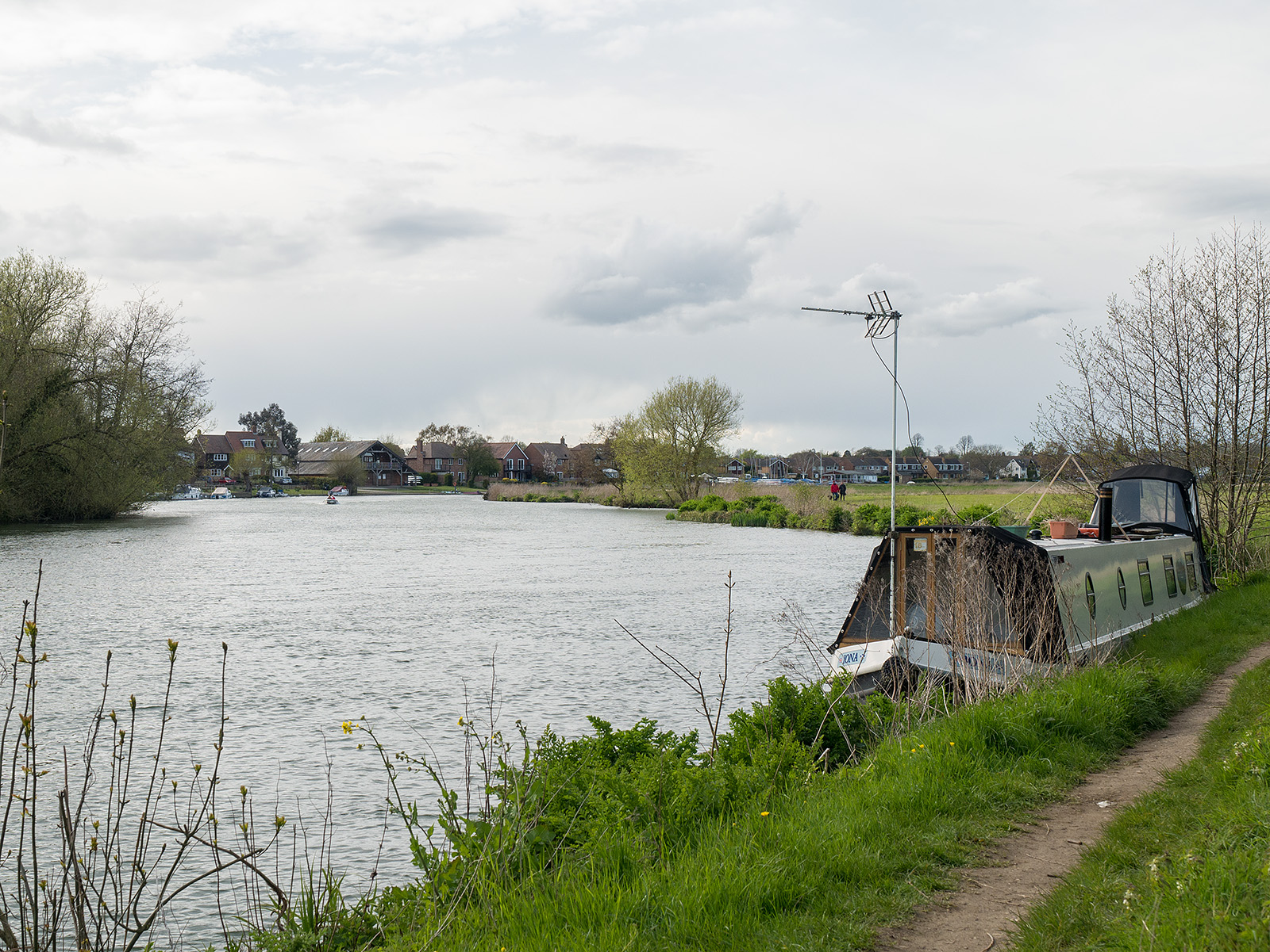
On the approach to Abingdon
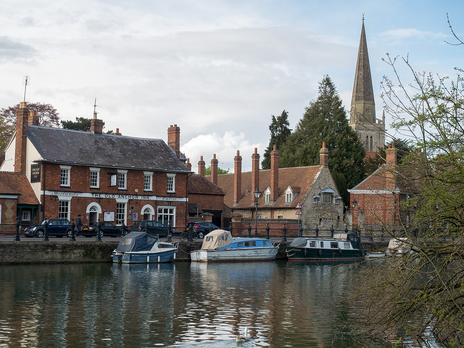
The Old Anchor Inn and the spire at Abingdon

Bridge across the Thames at Abingdon
Abingdon bridge
Live scrollable/zoomable map of the walk: