
A short (4.5 mile section) which actually spends about half of the route well away from the river in villages, on a bridlepath and then in the woods.
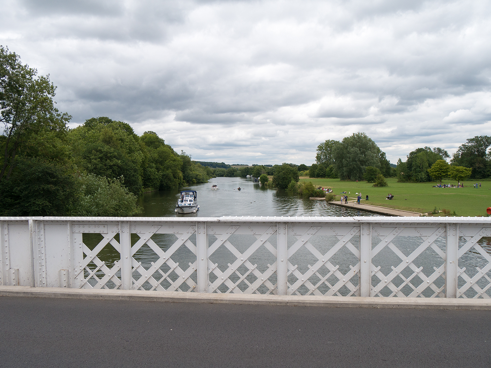
View from Pangbourne bridge

Wedding car on the Pangbourne bridge
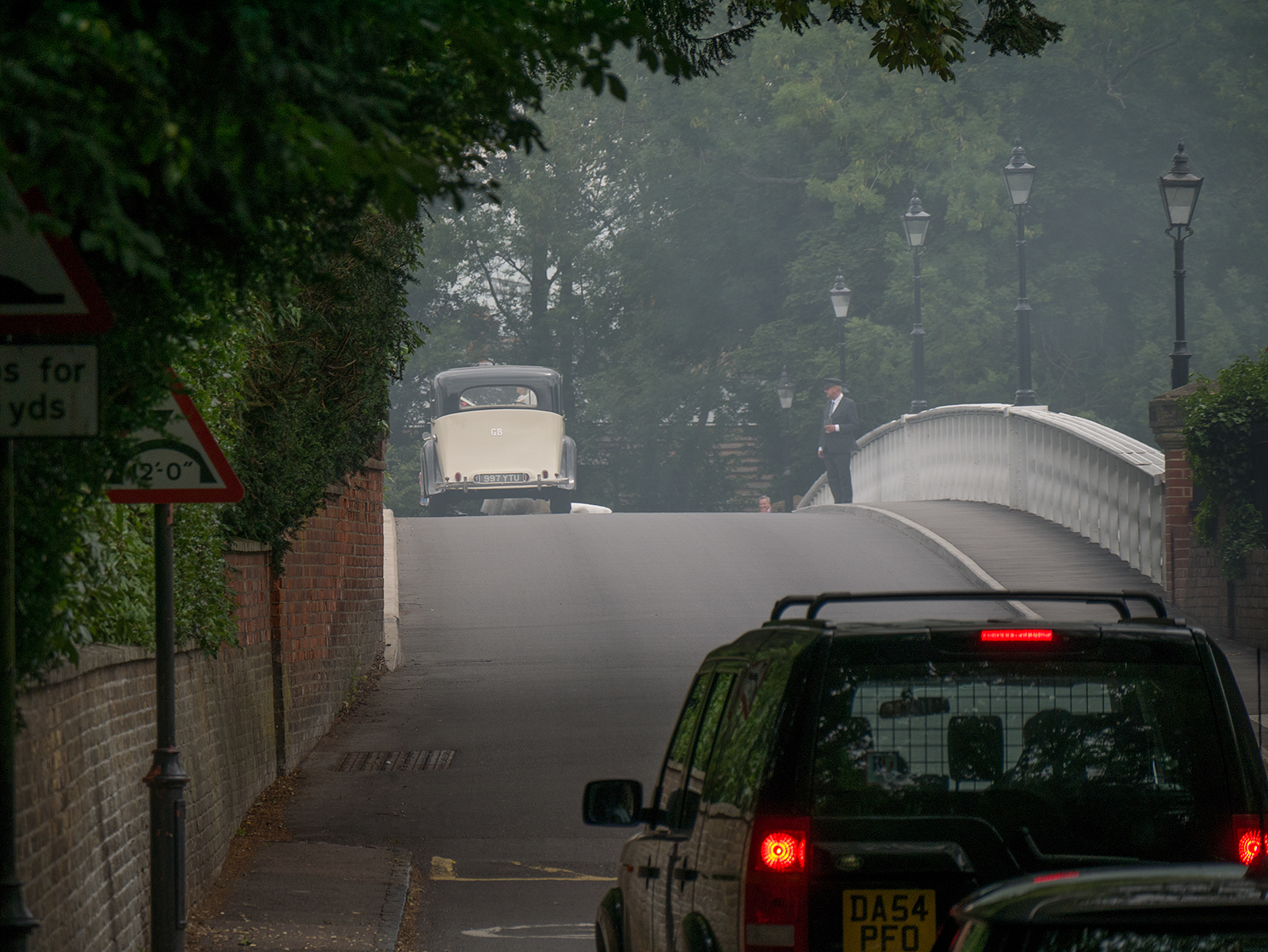
Wedding car on the bridge at Pangbourne amidst nearby bonfire smoke
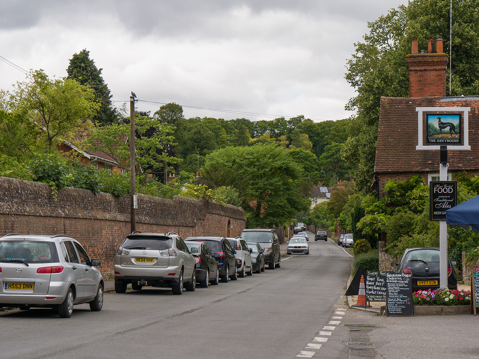
Heading up the main street in Whitchurch
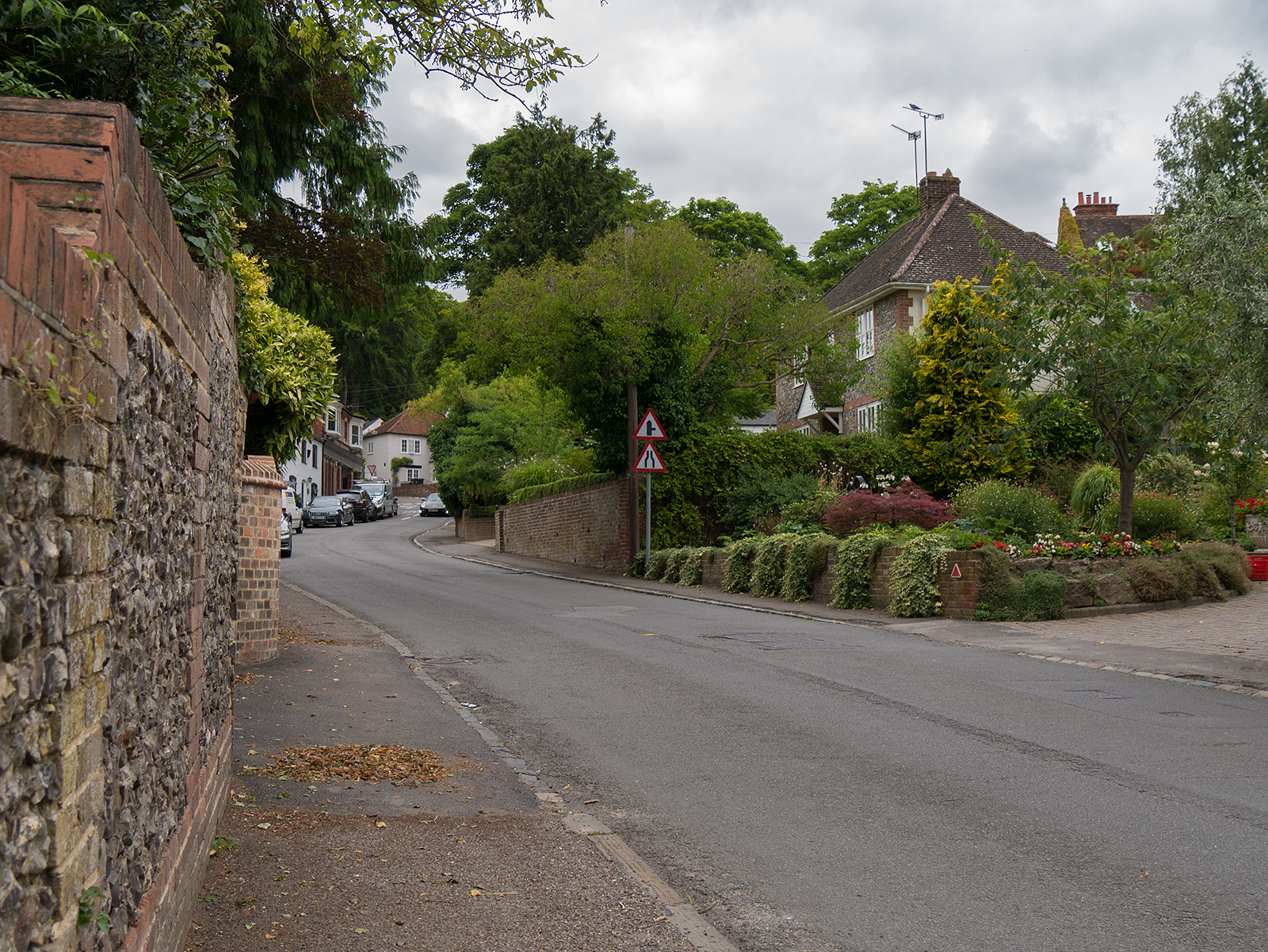
Further up the road in Whitchurch
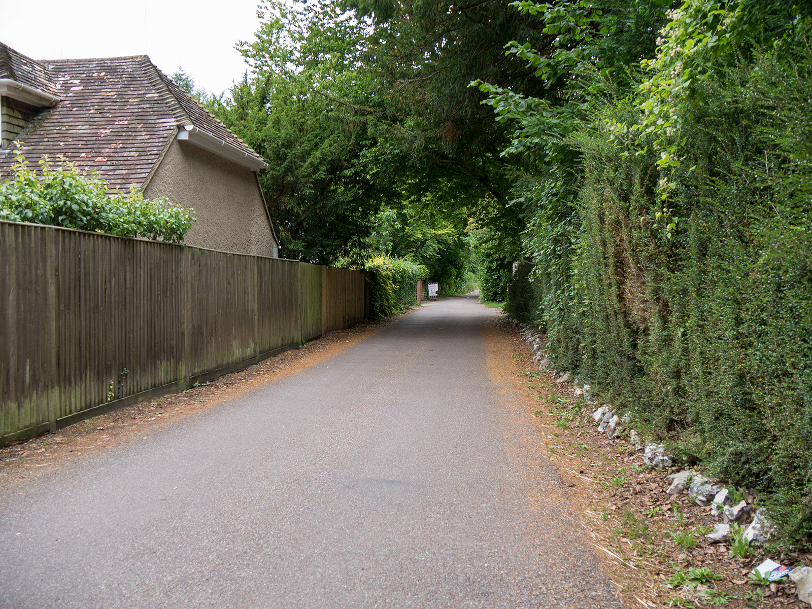
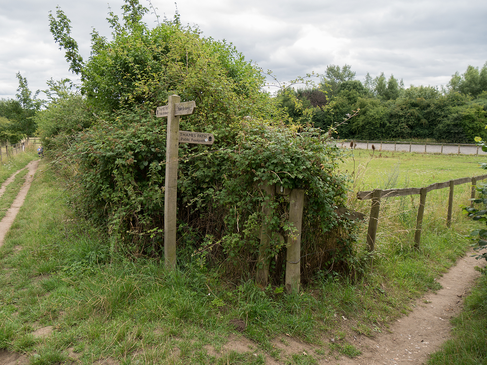
Turning away from the road in Whitchurch to head west along the metallized bridleway

Steep slope downwards has newly added steps for safety
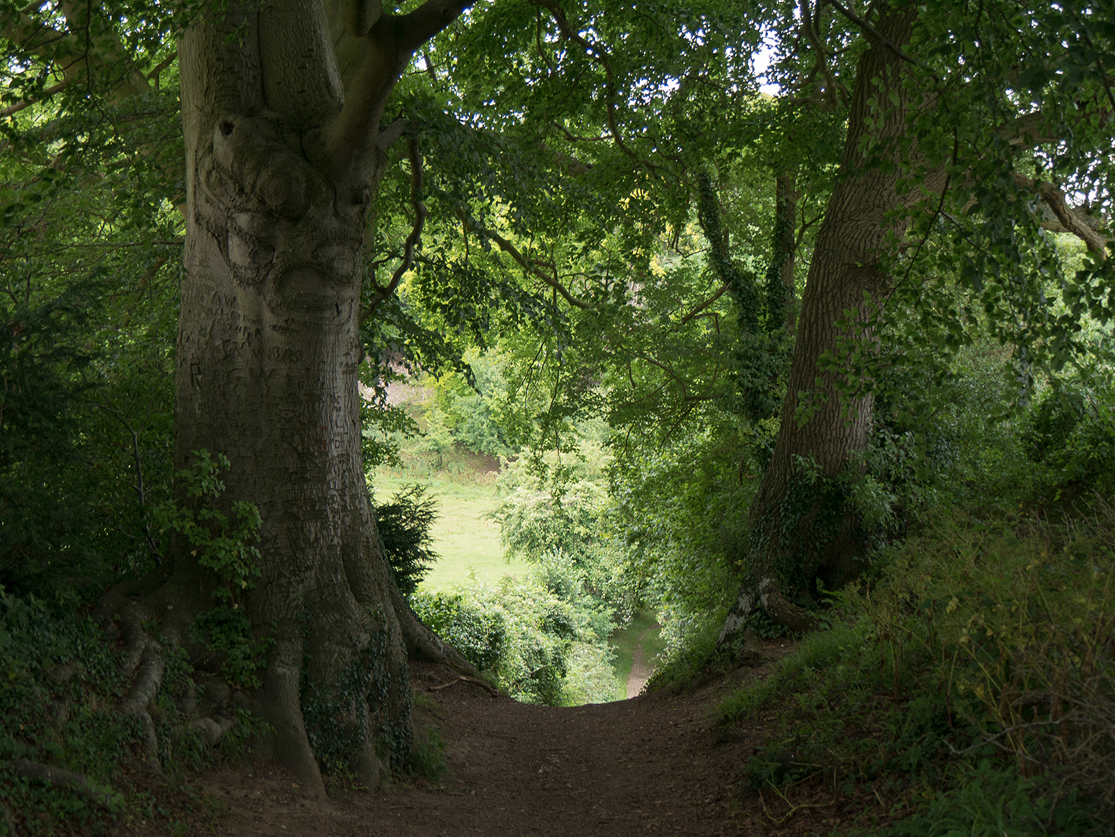
The path in Hartlock Wood rises and falls steeply a couple of times before starting the gentle descent towards the river level

One the path near Hartslock Wood looking east
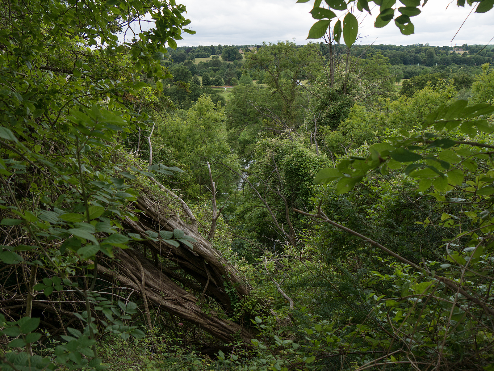
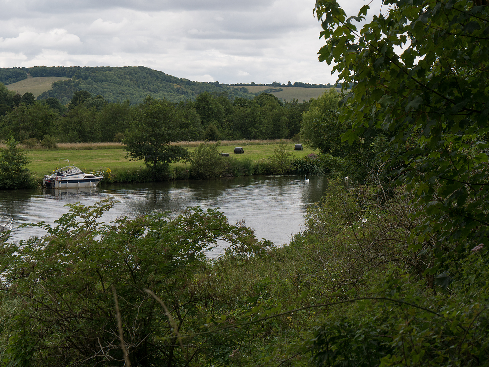
View across the top of the river from the high path in Hartslock Wood
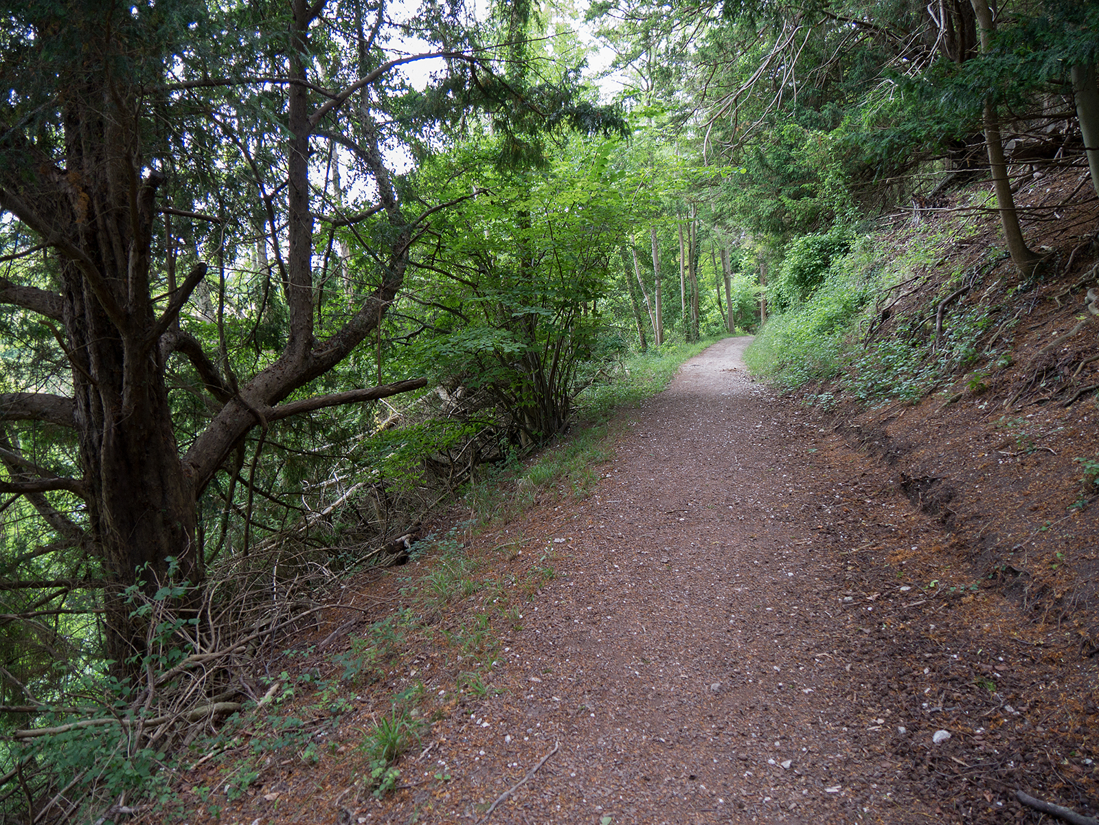
The path continues above the level of the river
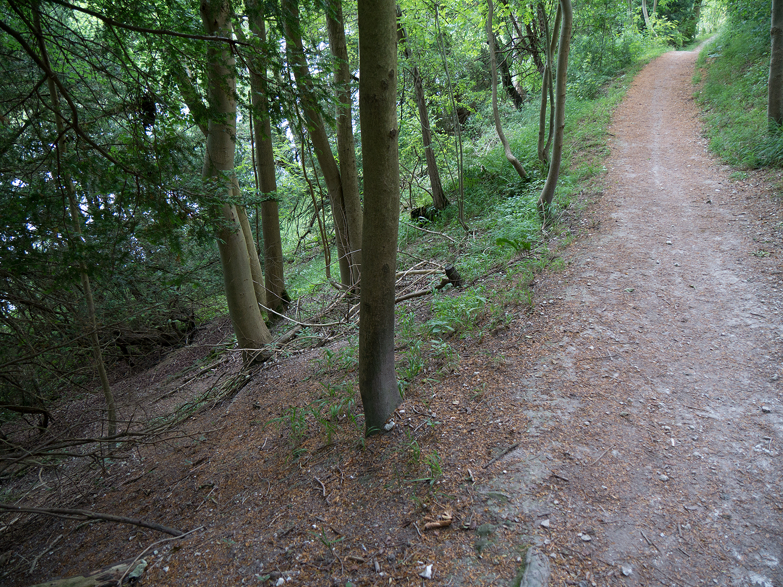
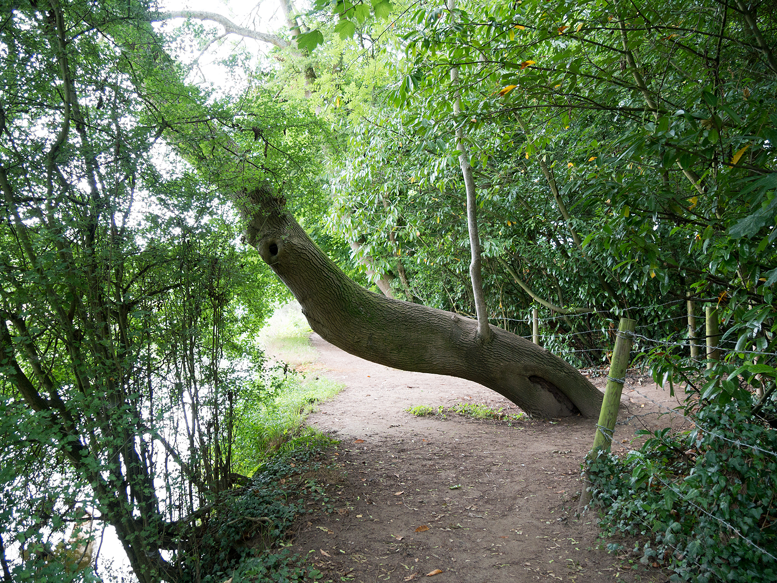
Beware the steep slope to the side of the path in Hartslock Wood
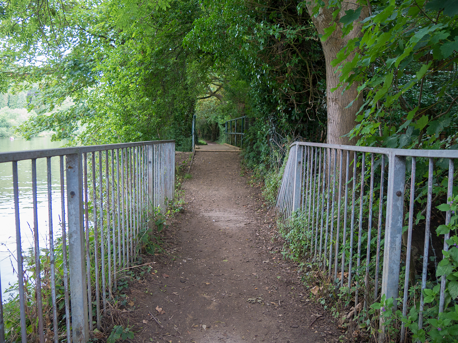
Finally we are back at the level of the river
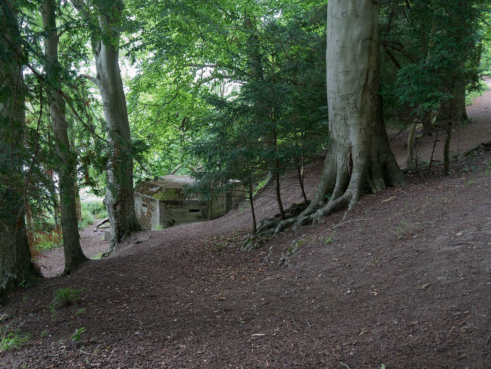
Emplacement in Hartslock Wood
The turn to the left just before Gatehampton farm (looking backwards)
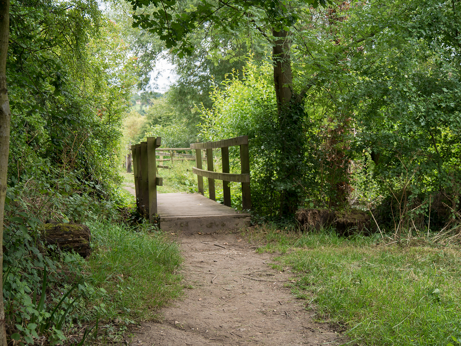
Small bridge helps the path return towards the riverside

Aha – the River Thames!
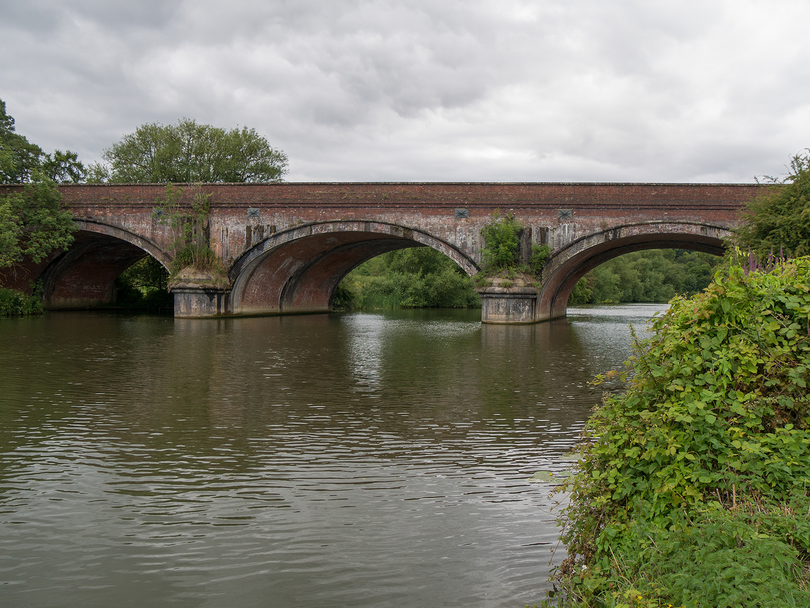
The railway bridge
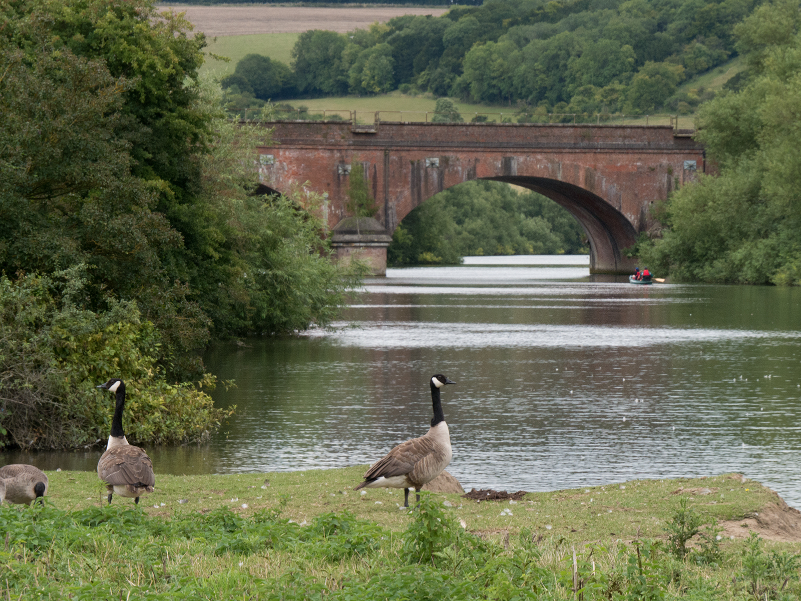
Looking back to the railway bridge
Looking across the river to The Grotto
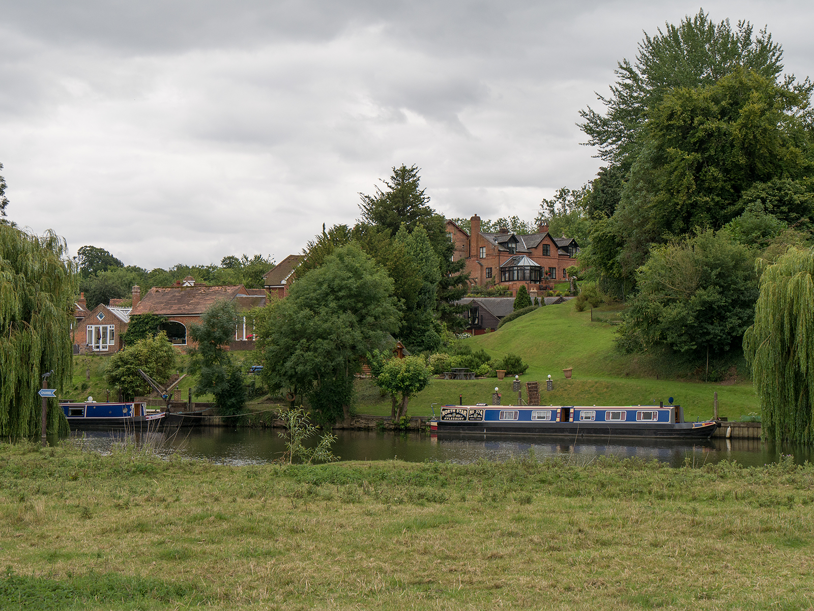
More bridges along the towpath
Under, over or around?
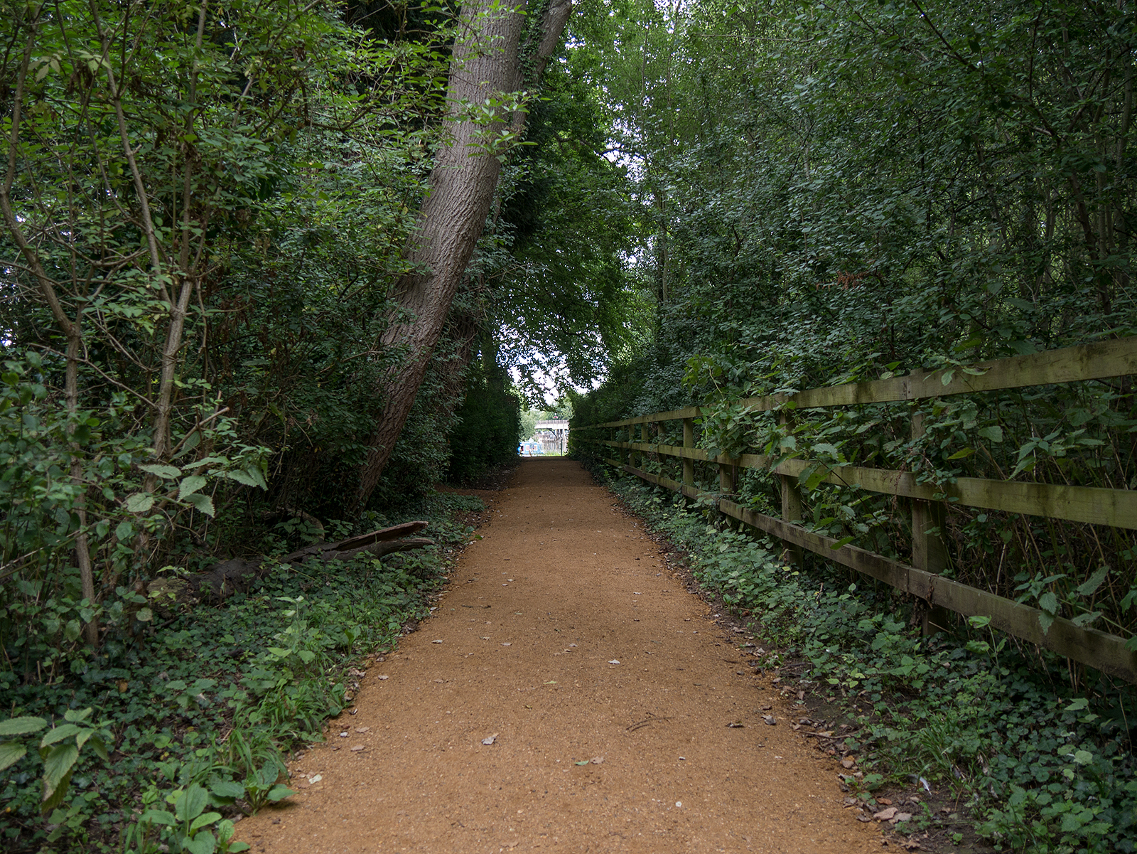
The final stretch in the wooded section, and Goring awaits

Goring bridge (looking back from the lock)
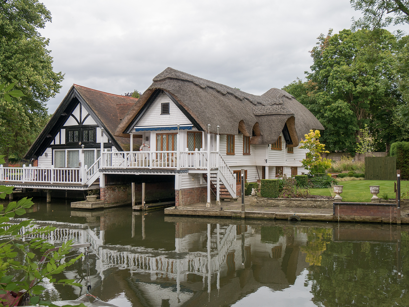
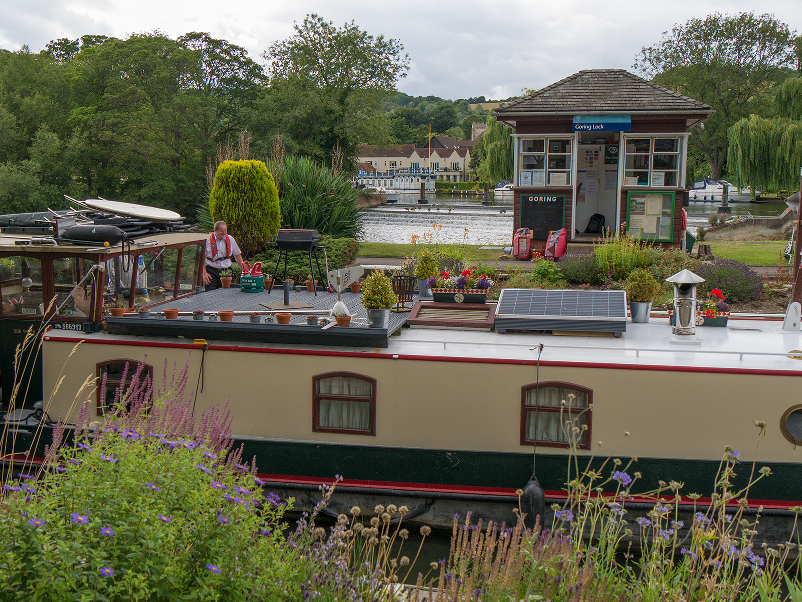
Riverside house at Goring Lock
Goring lock in use
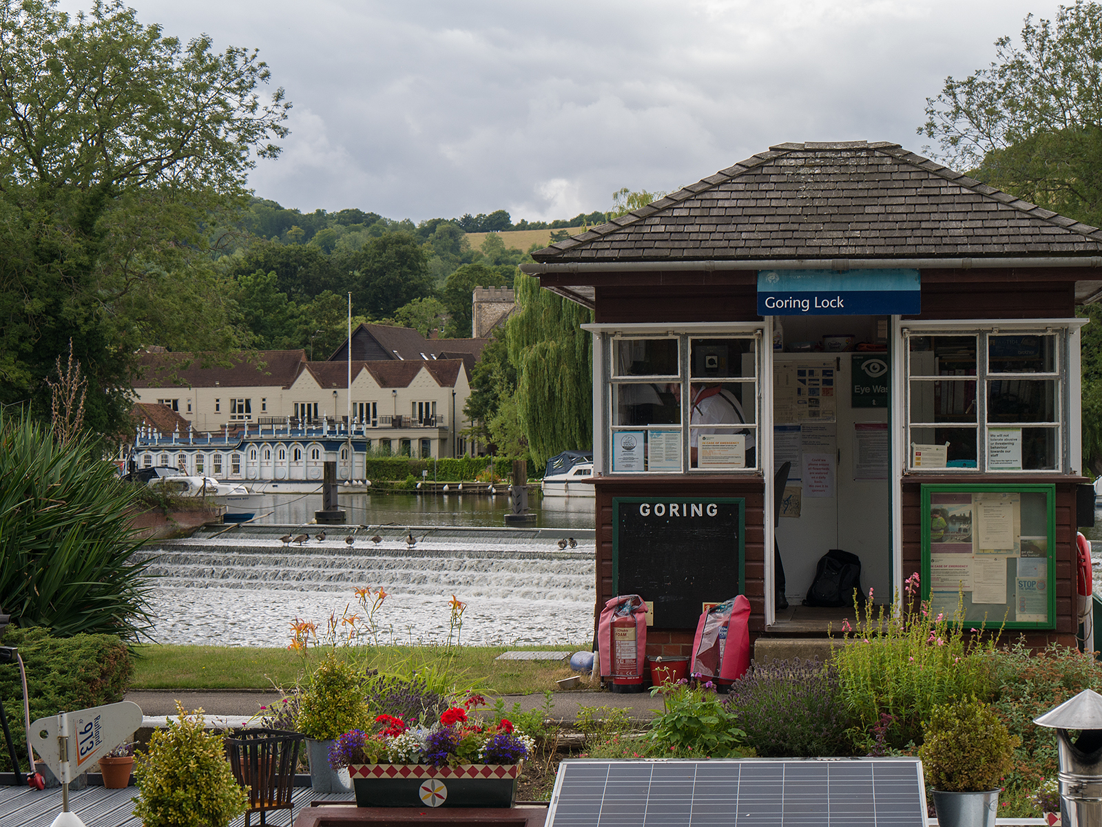
View across Goring Lock to Streatley
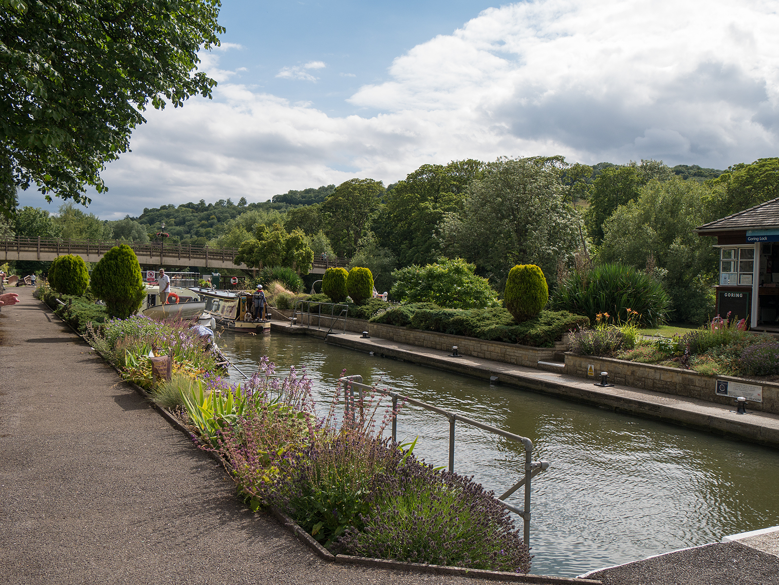
Goring lock in the sunshine
Live scrollable/zoomable map of the walk:
Pretty! This was an incredibly wonderful article. Thanks for providing this information.