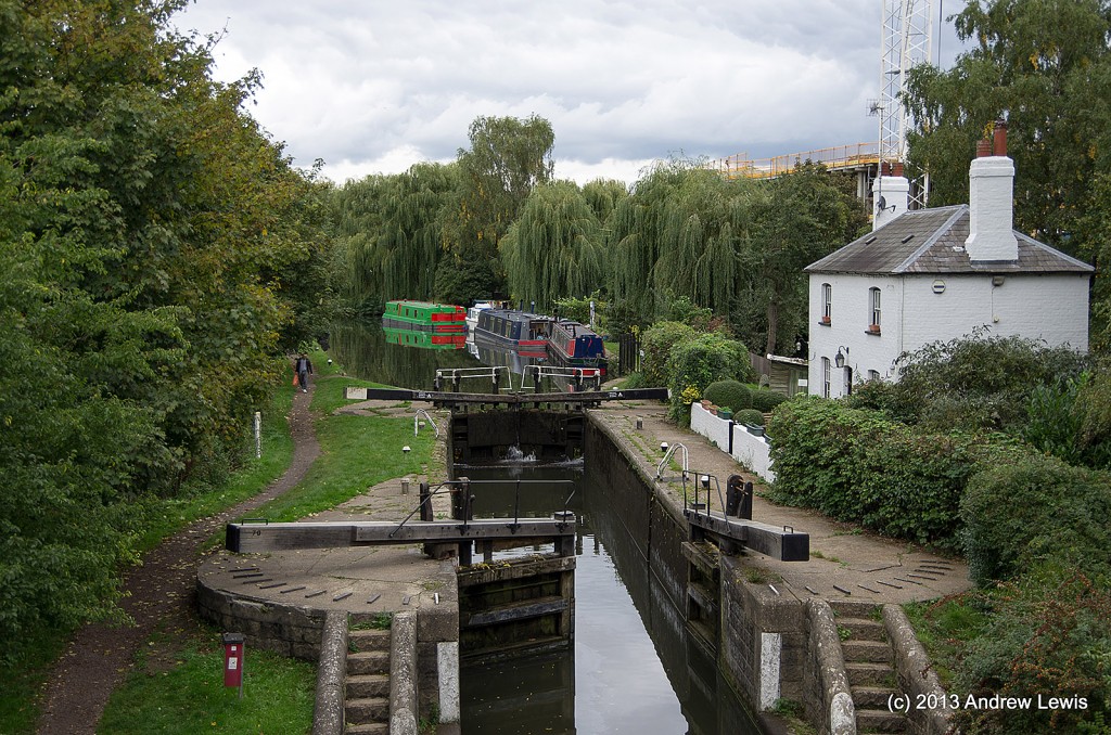
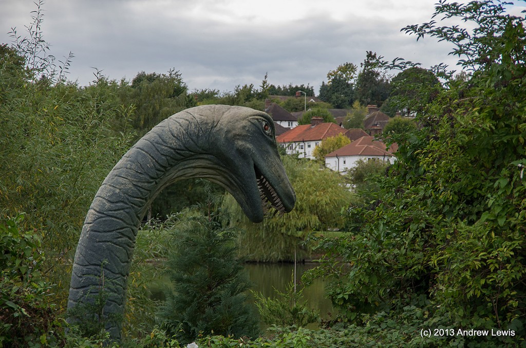
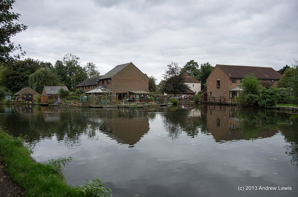
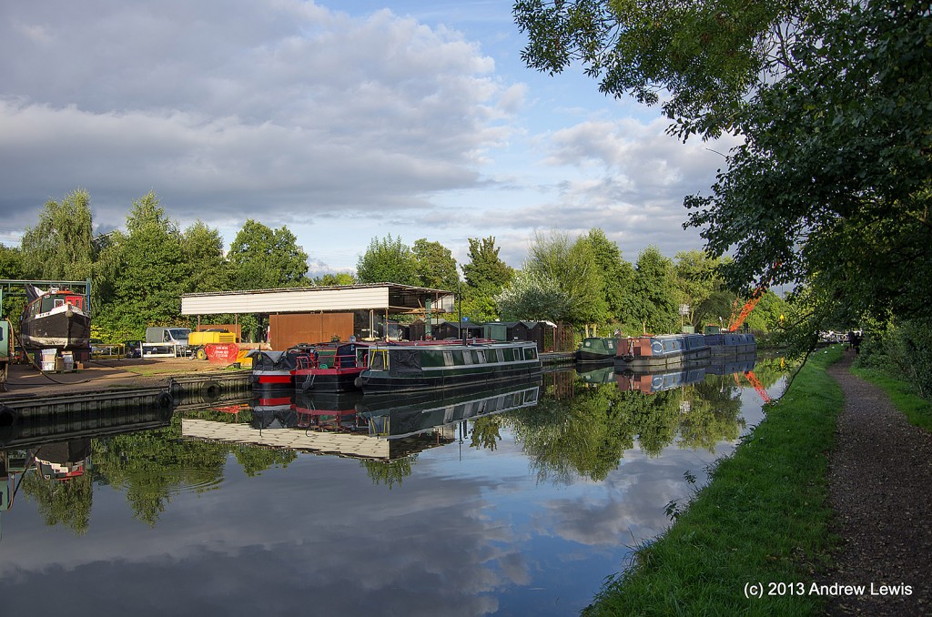
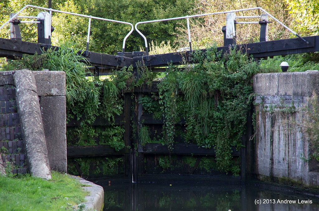
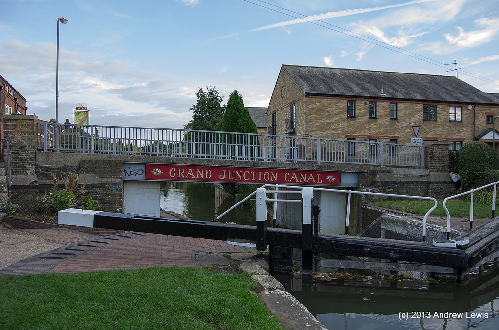
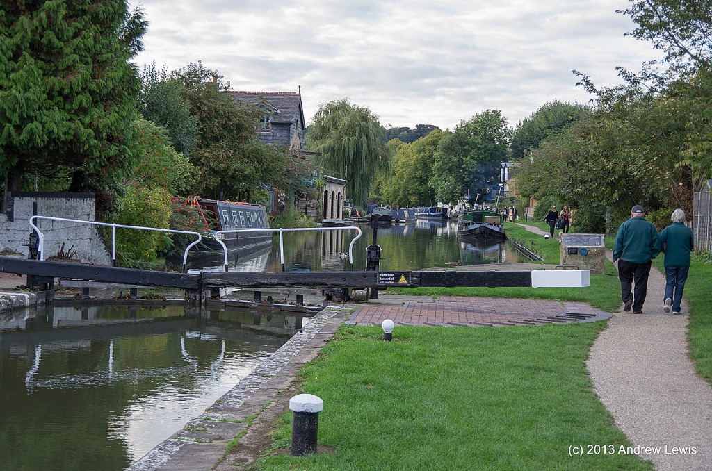
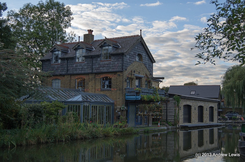
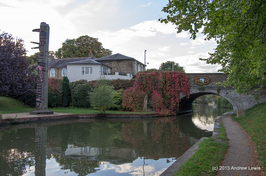
Time to continue along the Grand Union Canal or, as we shall see towards the end, the ‘Grand Junction Canal’.
Starting place is Kings Langley.
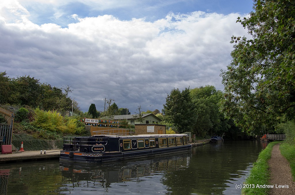
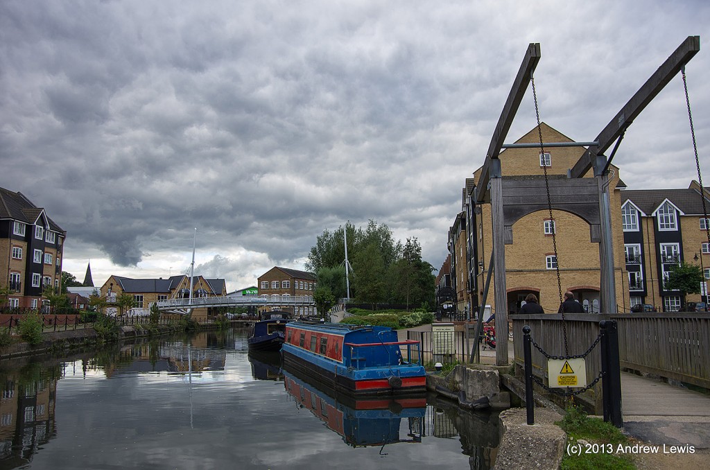
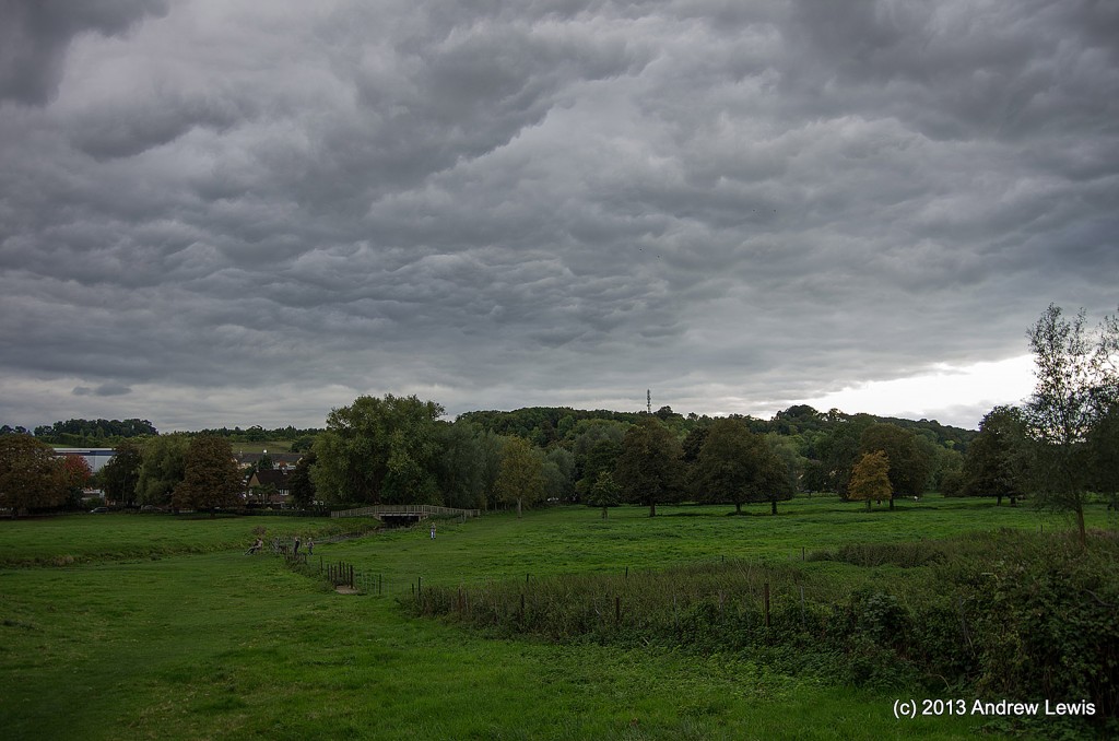
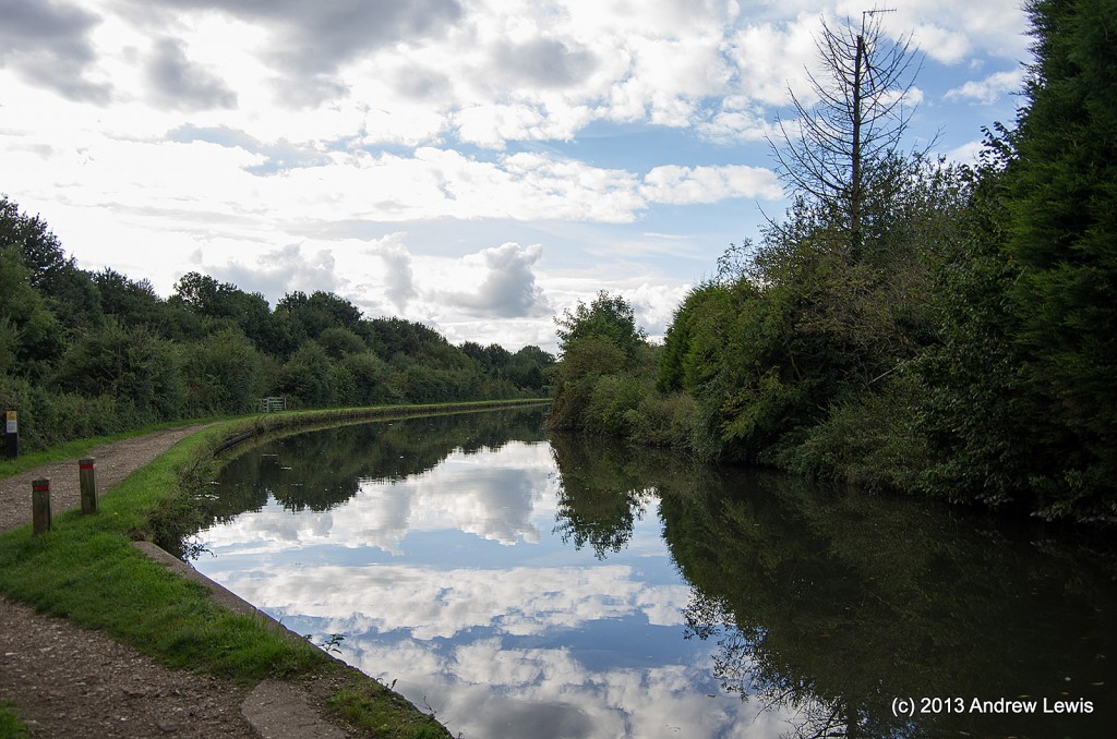
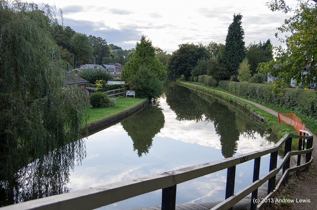
The weather started off a bit grey for this early October walk. Though it brightened up later.
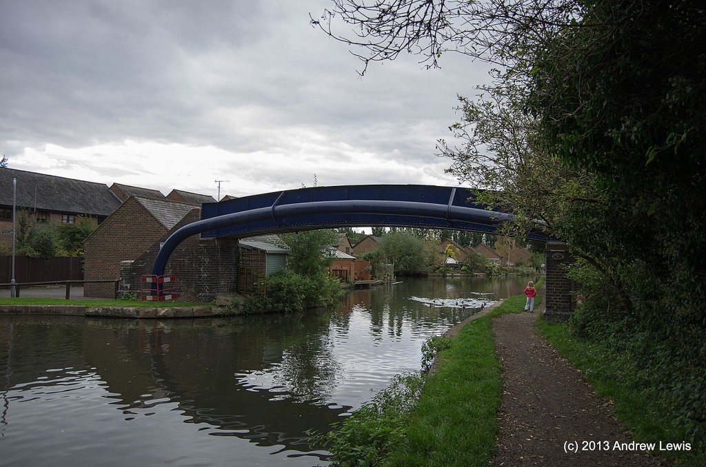
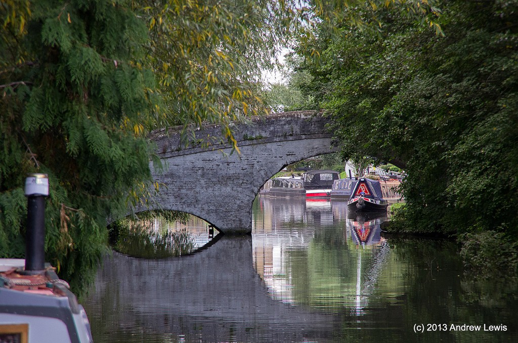
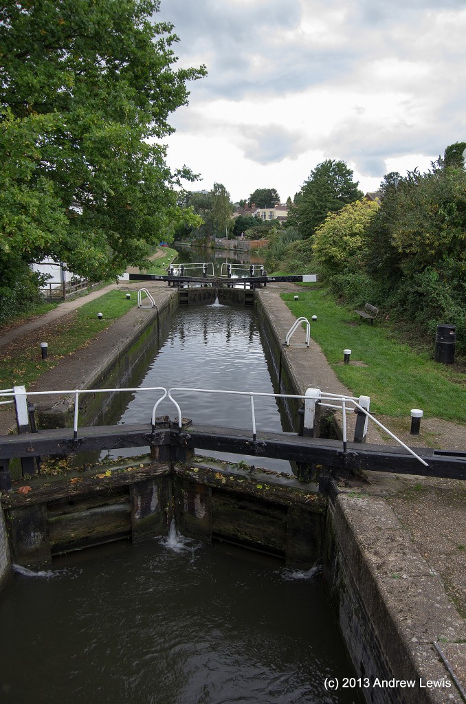
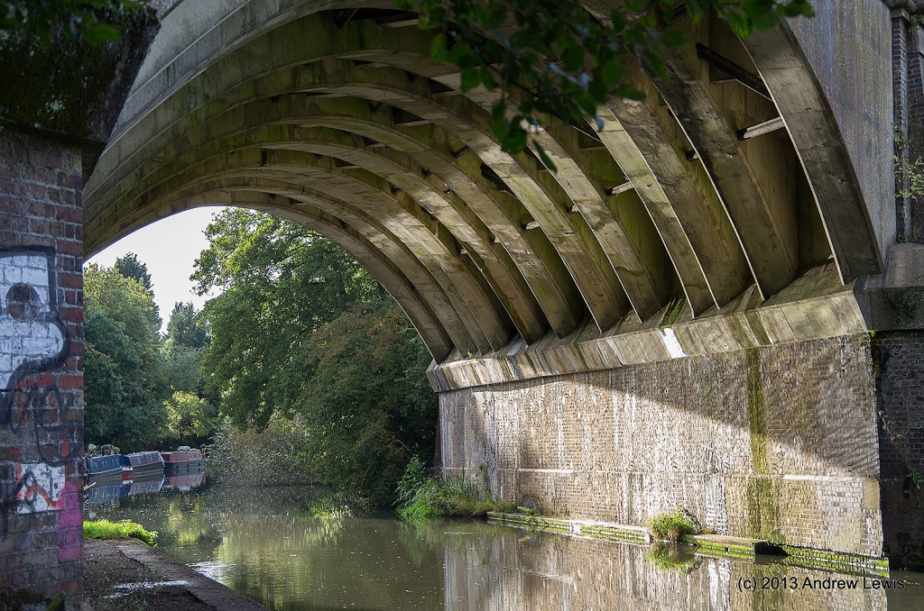
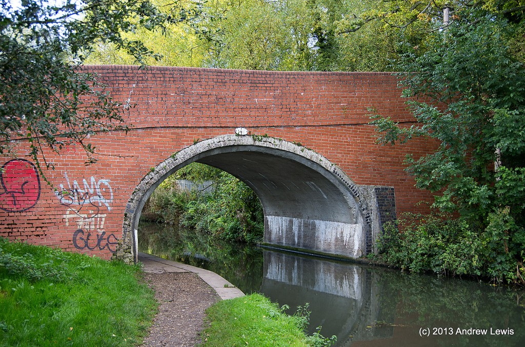
One feature of this section of the canal is the frequency of having to swap sides vai bridges as the towpath swaps from one bank to the other.
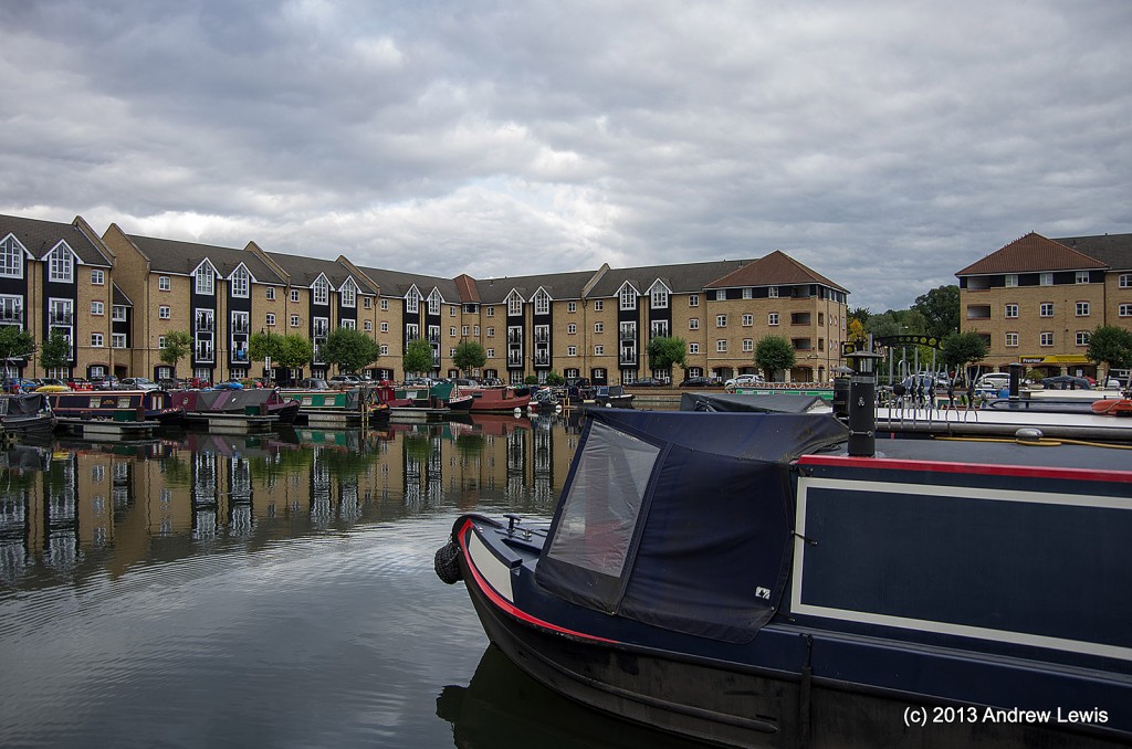
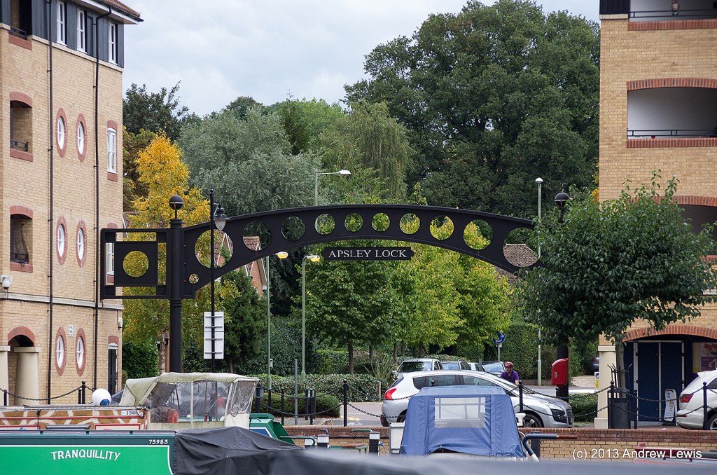
Apsley was going to be the end of the previous section of the walk but I ran out of time – as I approached Kings Langley I calculated I had another hour or so to get to Apsley – undertaking the section today did actually take about an hour, so I was right on the previous walk to stop where and when I did or I would have been quite late getting home.
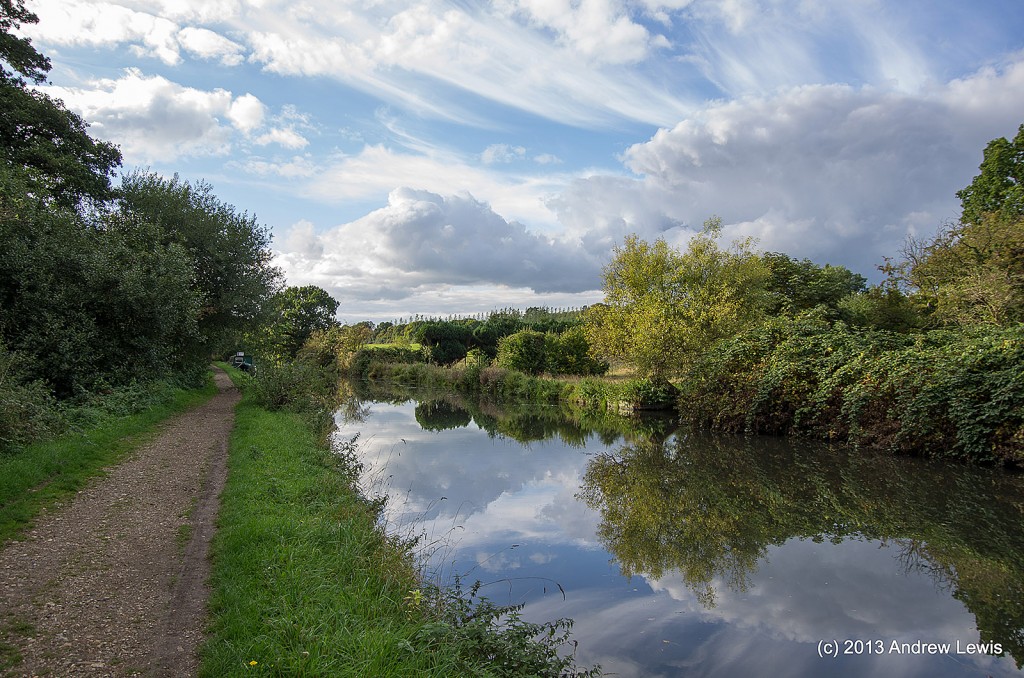
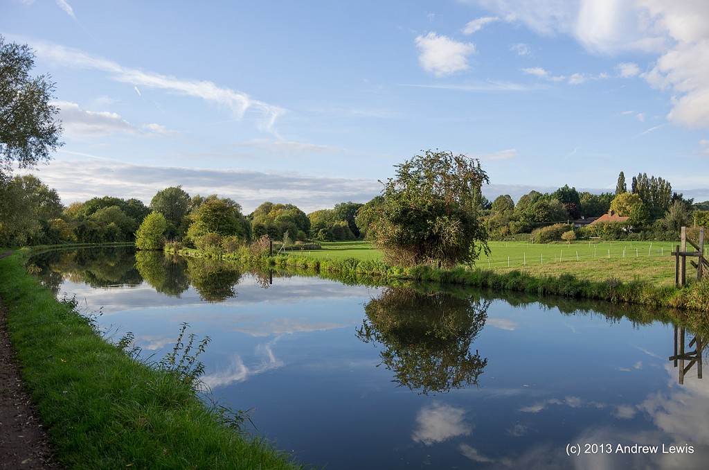
As I got past Hemel Hempstead, the grey clouds which had dominated the walk since the start began to thin and roll away.
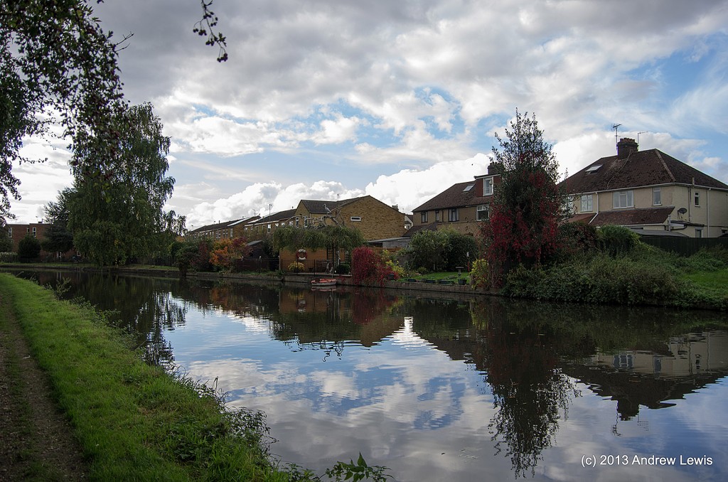
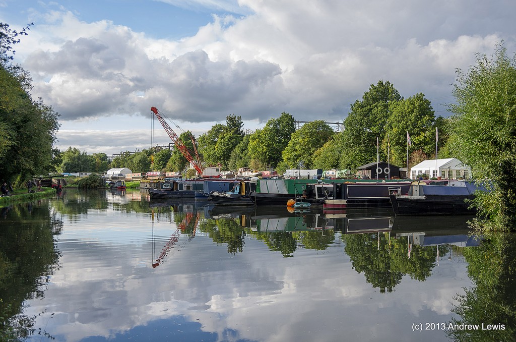
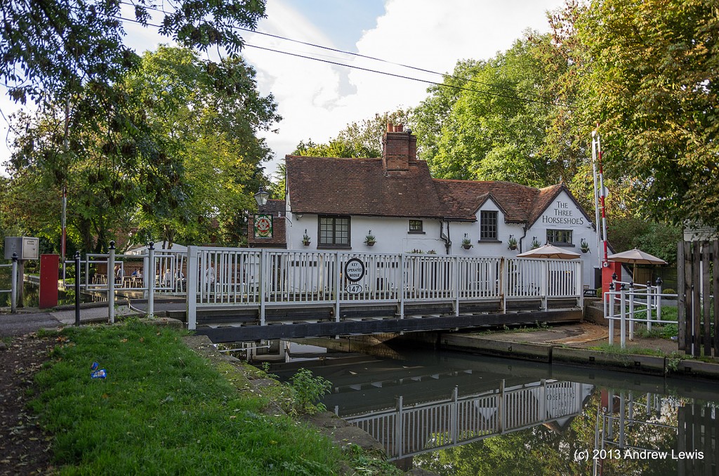
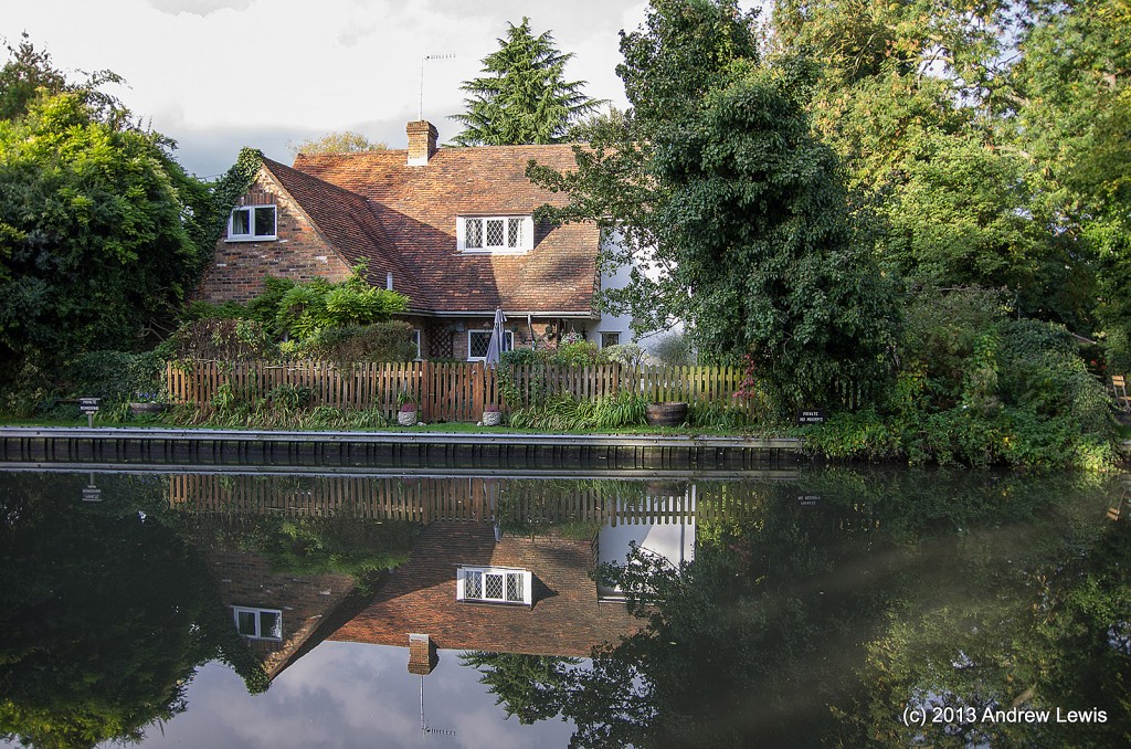
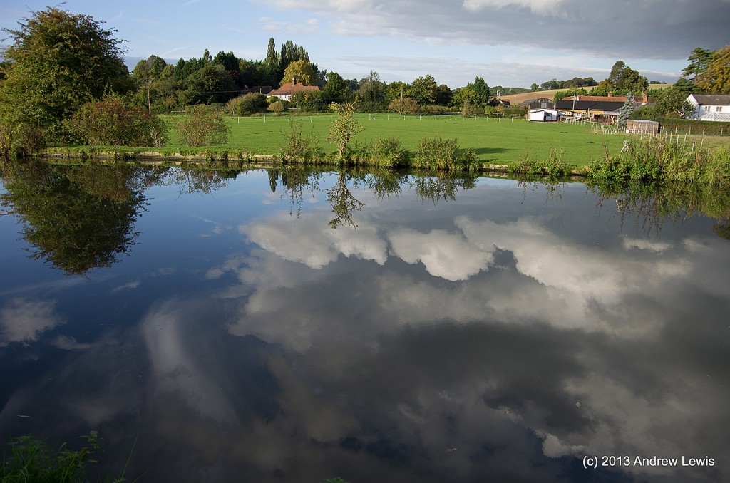
Around Winkwell there are some lovely pubs and the scenery is quite pretty, especially as the sky started to turn blue.
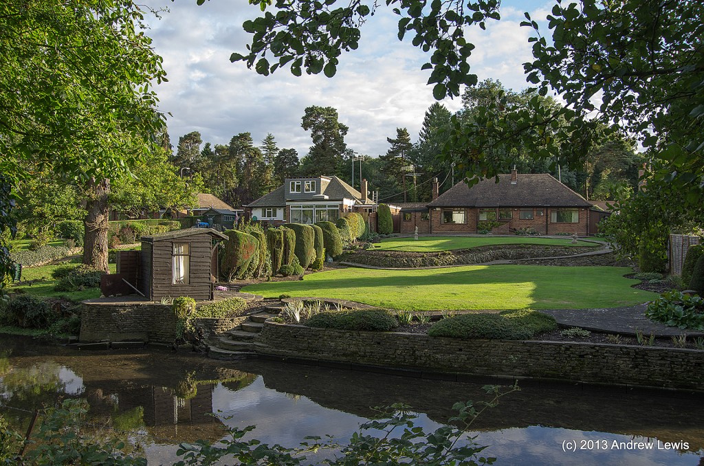
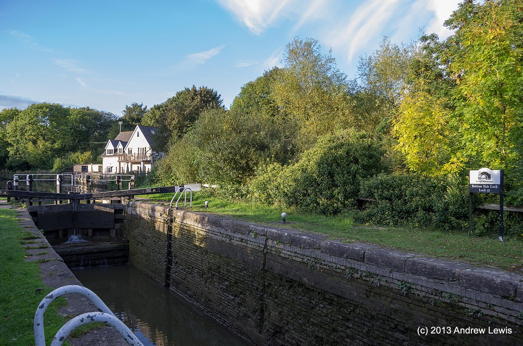
After Winkwell the sun was out and all the colours of the countryside came to life.
It was a fairly quiet walk – not too many other people out this day.
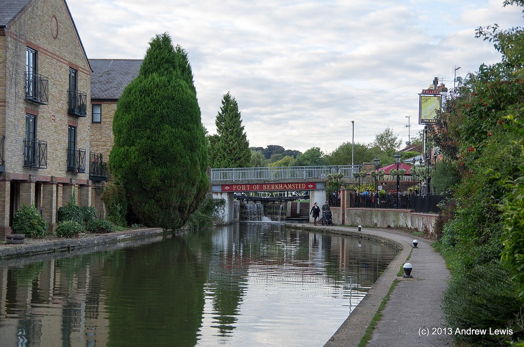
The walk ended at Berkhamsted with a short diversion to get to the railway station.
Total distance: 13.72 km (8.5 mi)
Total time: 3:06:51
Moving time: 2:50:32
Average speed: 4.41 km/h (2.7 mi/h)
Average moving speed: 4.83 km/h (3.0 mi/h)
Max speed: 13.01 km/h (8.1 mi/h)
Fastest pace: 4:37 min/km (7:25 min/mi)
Max elevation: 171 m (560 ft)
Min elevation: 110 m (362 ft)
Elevation gain: 173 m (567 ft)

