A slight change of water for this walk – having previously attempted the walk on the Lea River in the months leading up to the 2012 Olympics, and finding some of the paths closed, I tried again, just over a year later, and was more successful (despite an 80 minute delay getting to the start of the walk due to an incident that left our train stopped and powered down just outside Clapham Junction station…)
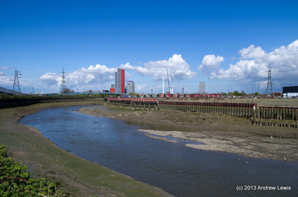
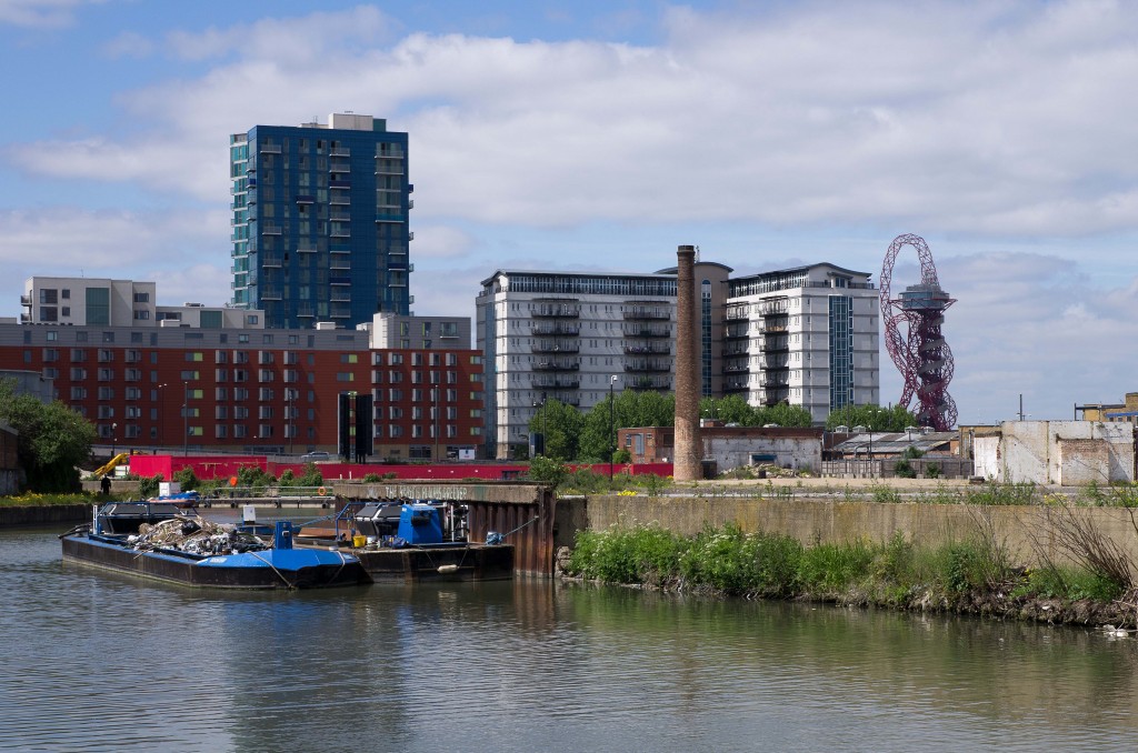
A slight cheat here at the start, as I walked the accessible southern end of the Lea River during a previous walk, as a slight diversion away from the Thames. So the first few photos will seem familiar – commentary is available in the previous walk.
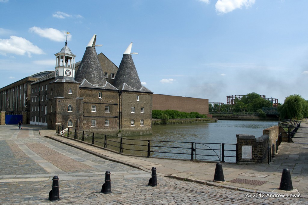
Some sections of the Lea are not accessible north of Canning Town and the next generally accessible section begins at Three Mills, just north of where the river joins Limehouse Cut.
Just north of the Three Mills bridge is the newly-opened walkway, completed around the time of the 2012 Olympics, but closed for access until the Olympics had ended.
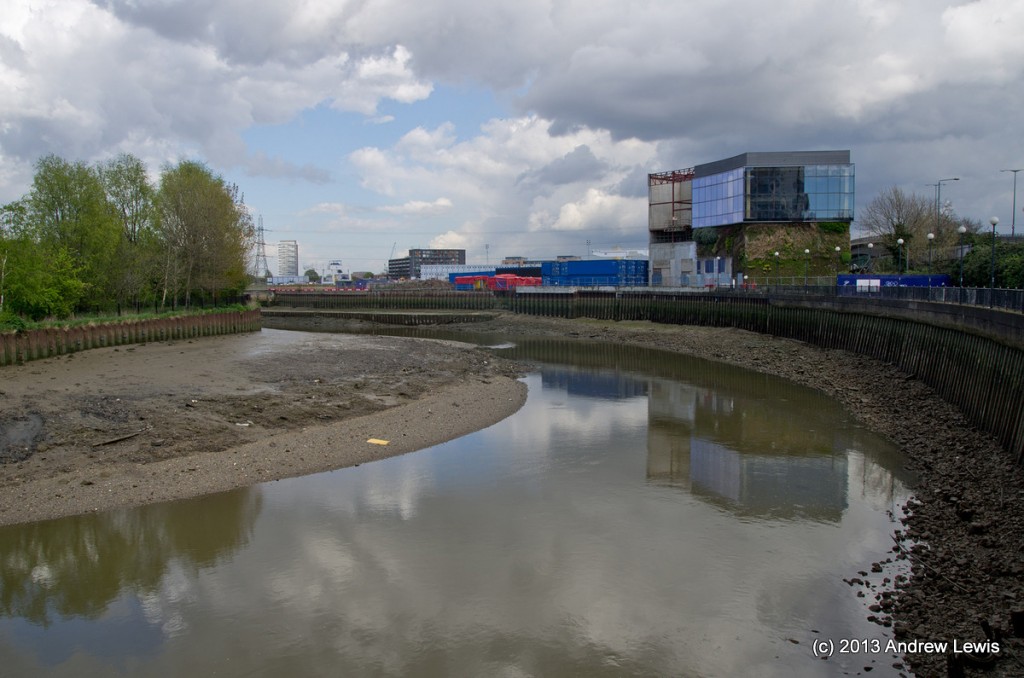
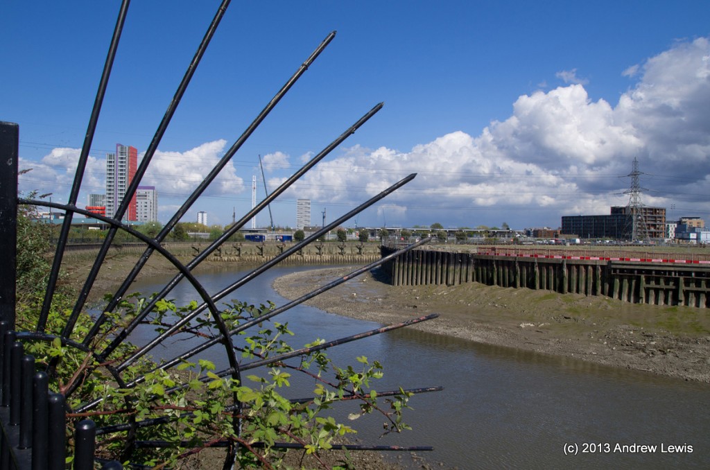
Rounding the first bend, parts of the Olympic Park come into view.
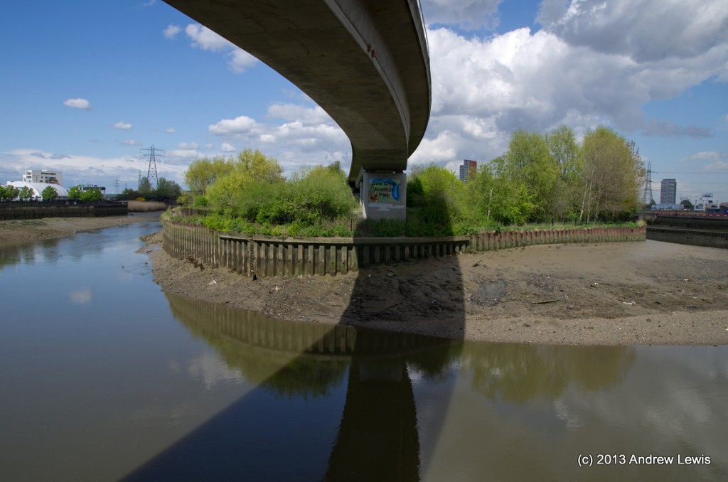
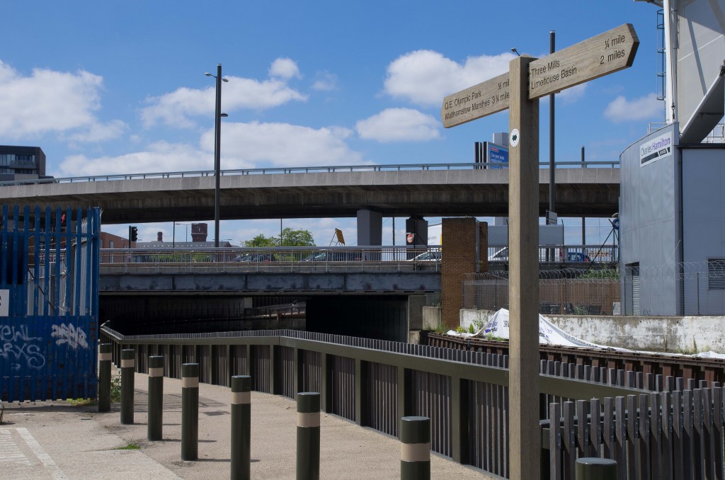
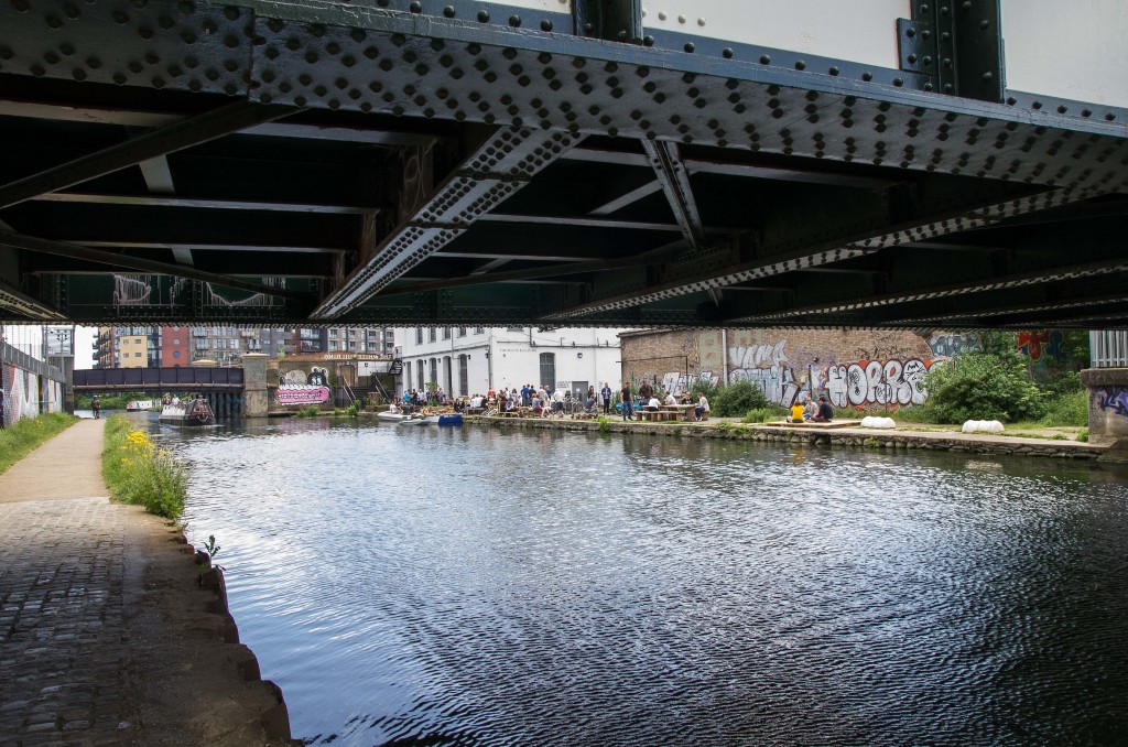
The busy A118 was previously a chore as one had to rise up to road level, cross the busy road then descend. Now the passage underneath the bridge has been prepared and is lit with small lights.
A new walkway above the river crosses over then descends to the opposite path, where some Crossrail building works come into view on the opposite bank.
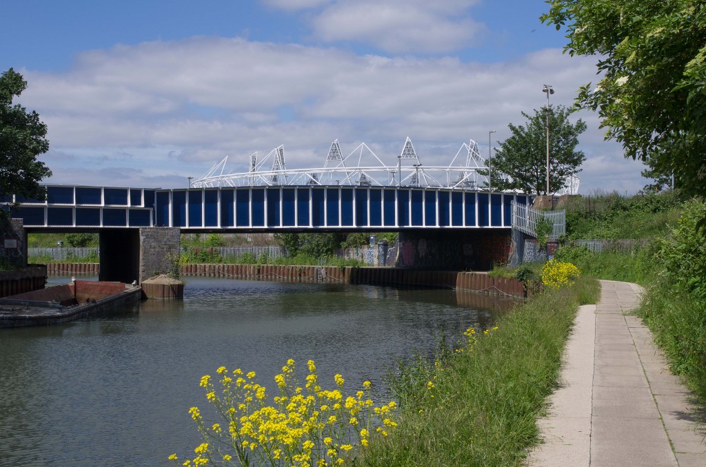
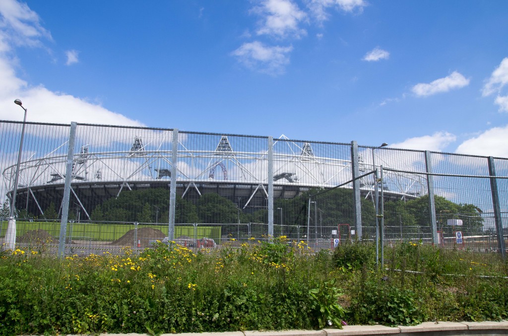
Once again, as per the previous walk, the Olympic Stadium comes into view to the East of the river.
This time though, the path was still open (in fact the Greenway route that was previously the diversion route is not itself closed).
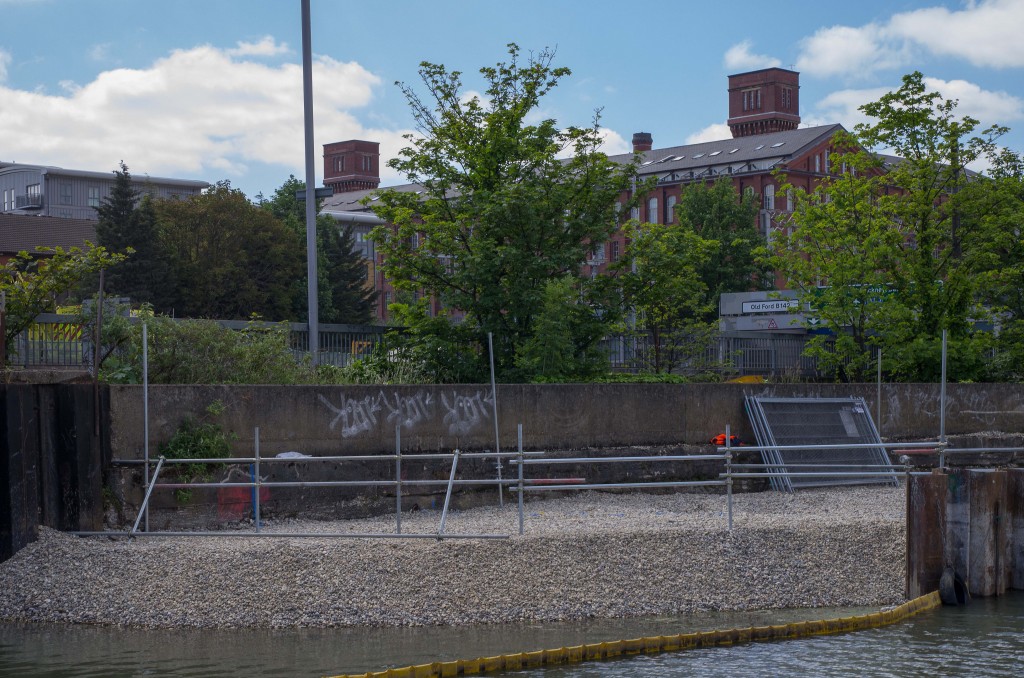
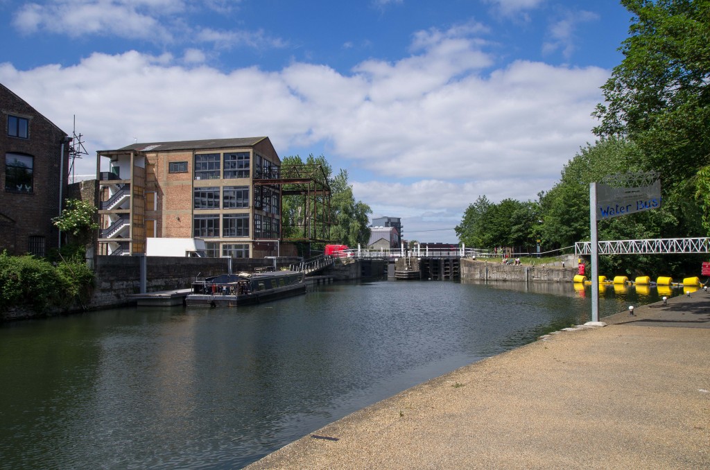
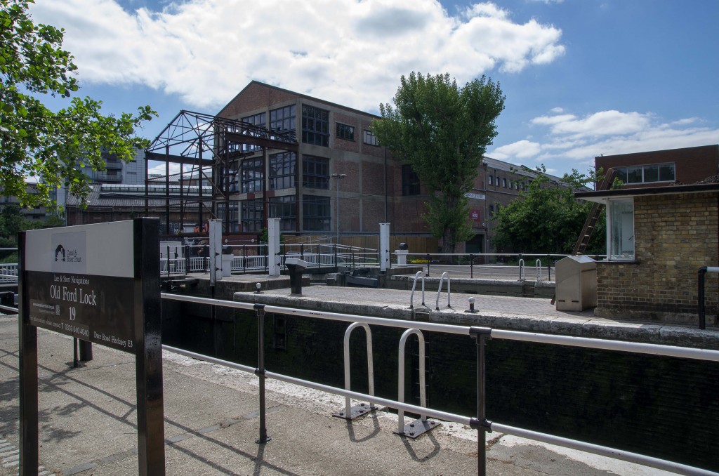
Old Ford Lock, the location used for The Big Breakfast TV series is the next item of interest on the river.
The river passes quite close to the Olympic Stadium, where the whole site is now a huge development, with people working away on this Saturday afternoon.
The official start of the Lea Valley Walk is a little further to the north.
And now we see the route that I should have taken on the previous walk, to get from Three Mills to the Hertford Union canal.
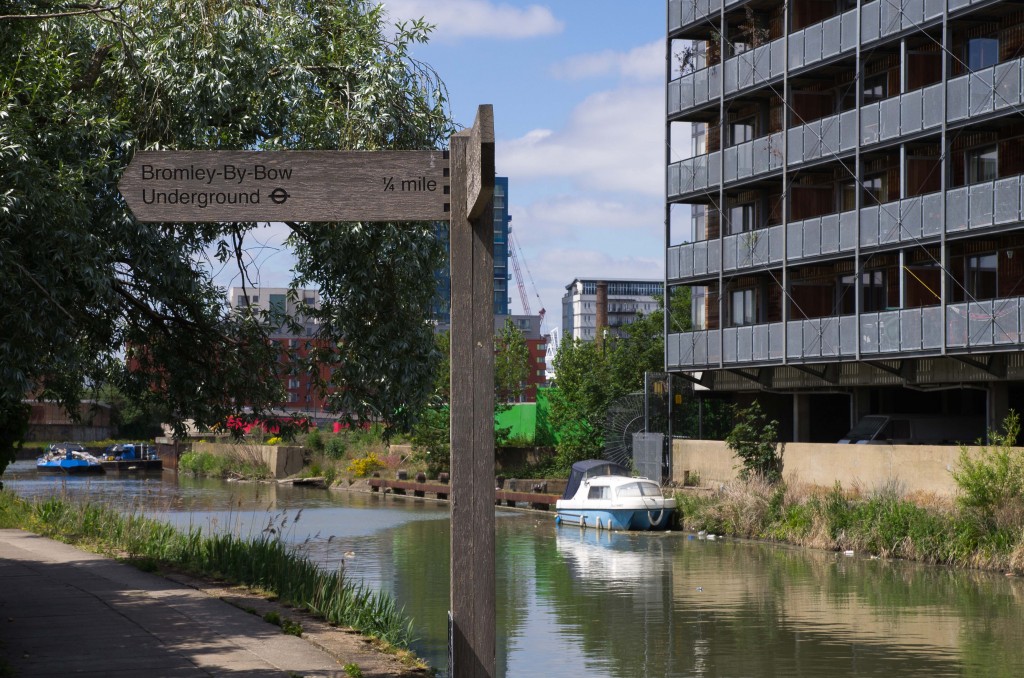
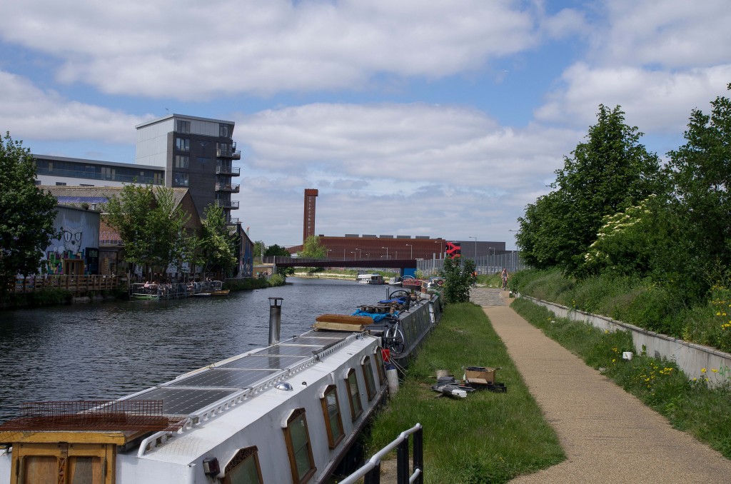
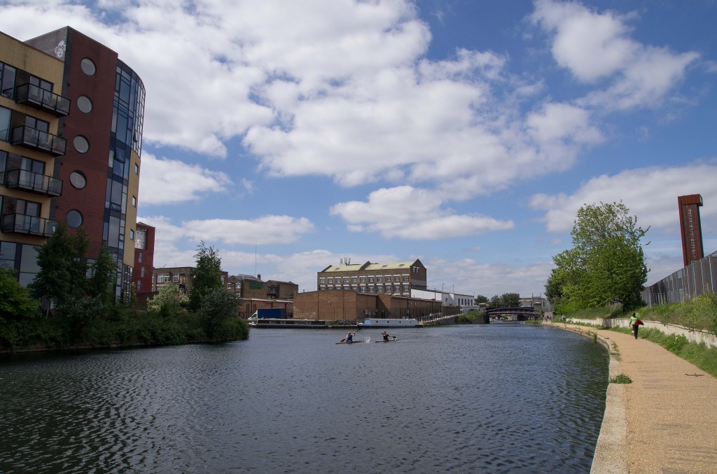
Various studios and pubs have waterfront gardens and rear facing balconies along here.
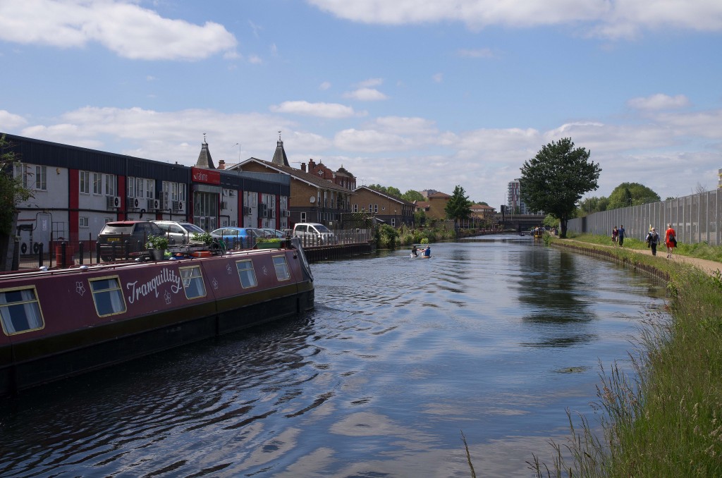
A few new looking businesses back onto the river as we head north to Hackney Wick itself.
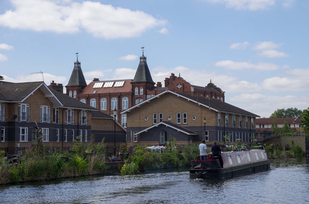
Traditional buildings mingle with newer ones at Hackney, but they seem to sit well together and and not too jarring.
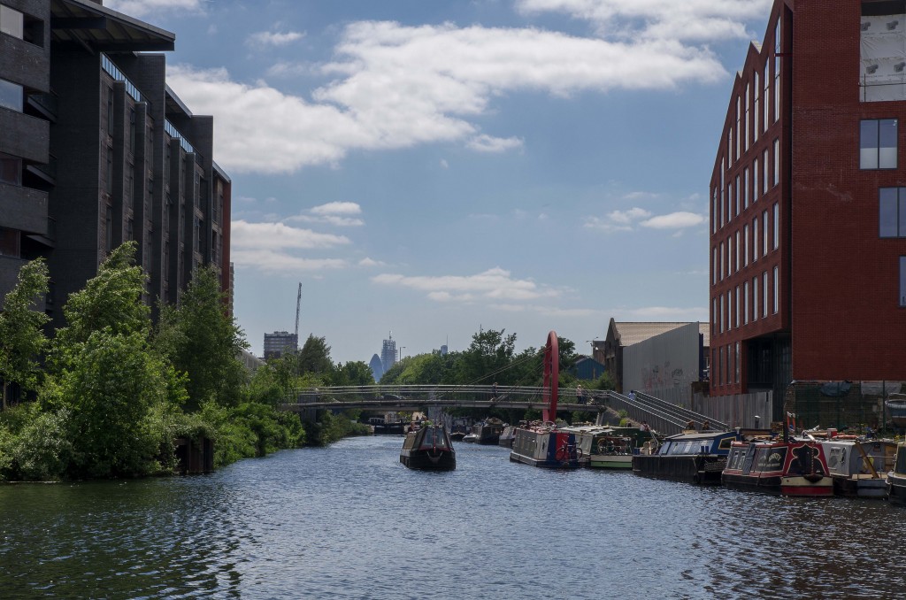
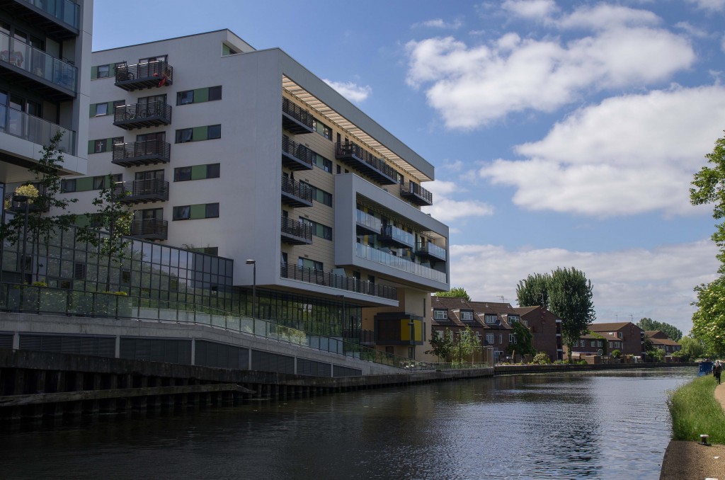
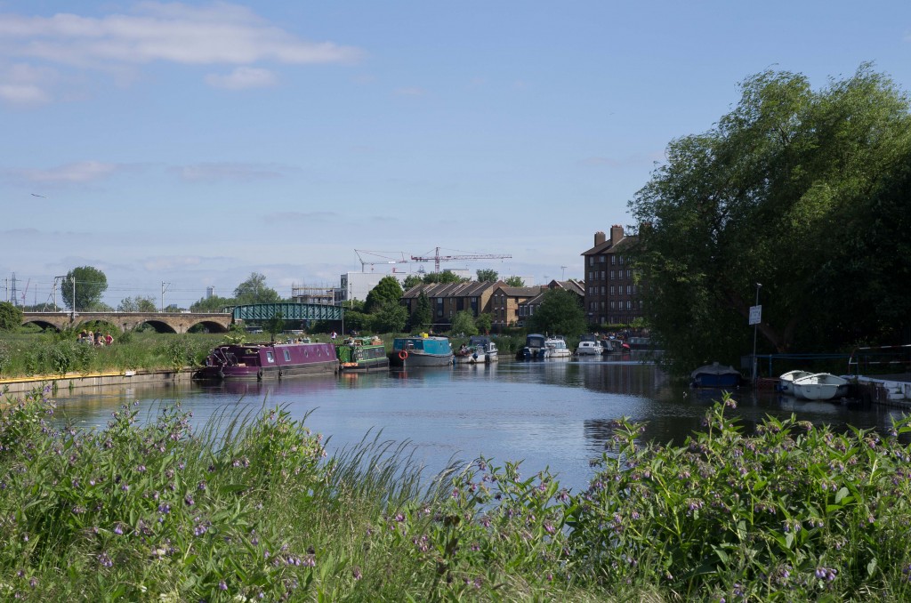
Further north a more modern block rises up alongside the river. Of note is the bright sun-lit canopy over the highest balconies.
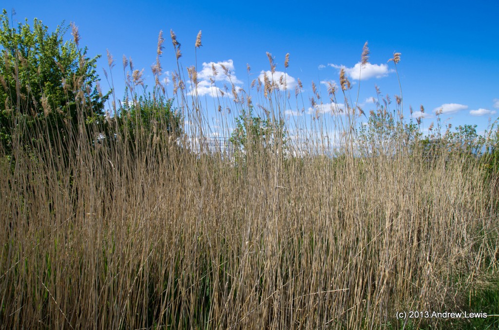
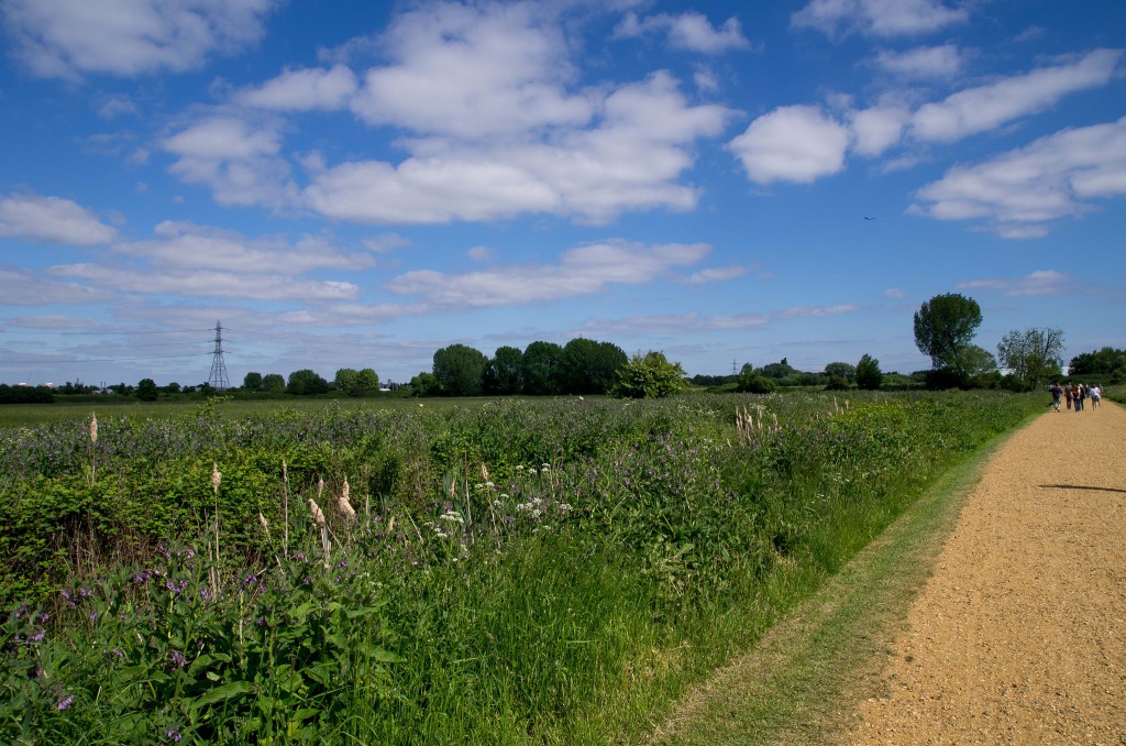
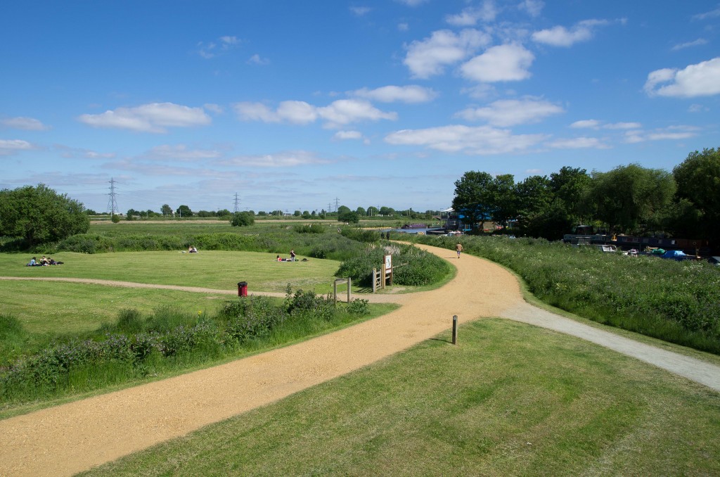
The walk now starts to feel a little more rural as the famous Hackney Marshes border the river to the east.
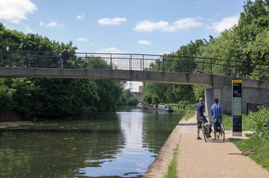
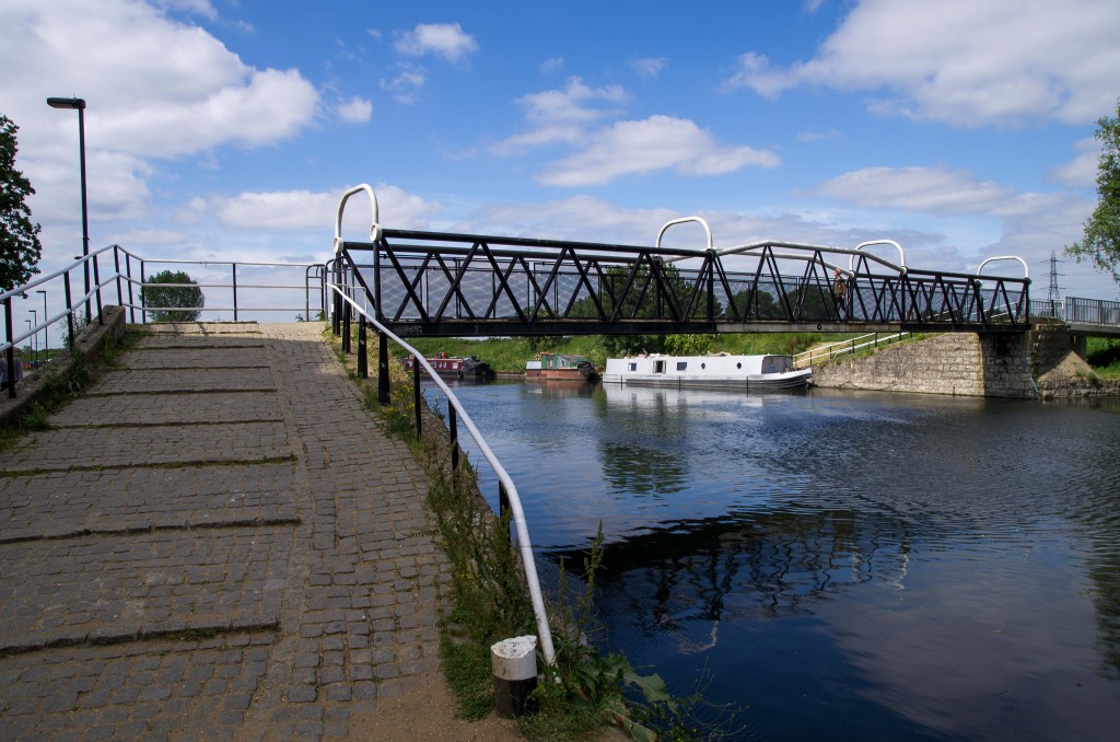
A quick cross of the river is required at Pond Lane bridge.
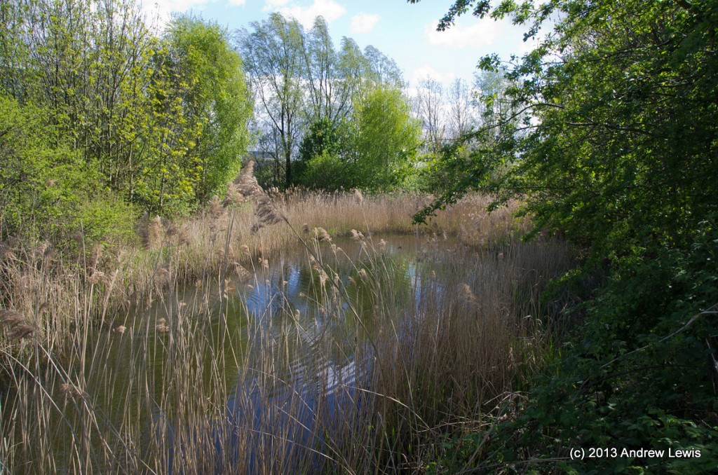
Further along, there is the option to cross over again which I used to get a better view of Walthamstow Marshes nature reserve.
After leaving the marshes, we cross back to the opposite side of the river using Horseshoe Bridge.
The river here has a more urban feel. To the east are various embankments for reservoirs and to the west are flats.
South of Tottenham lock, the river splits in two but the eastern option leads nowhere – the waterway notes remind boaters not to follow these tributaries as often they are silted up and non-navigable. As walkers, we have no option anyway but to bear left.
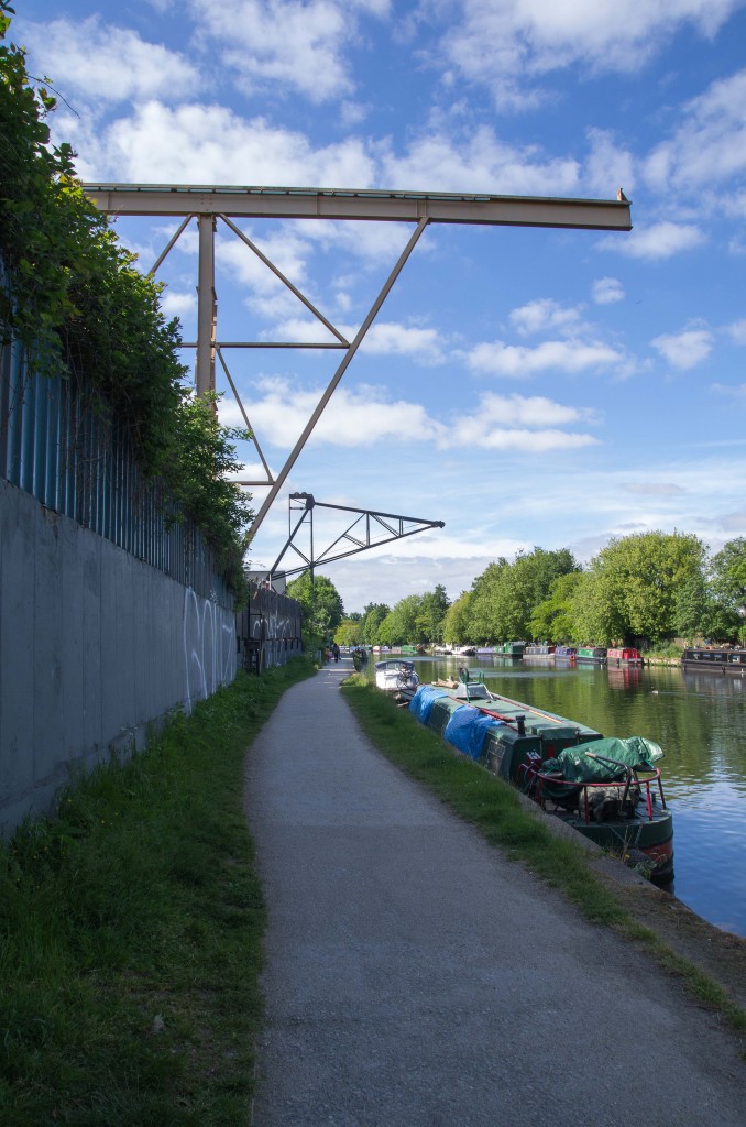
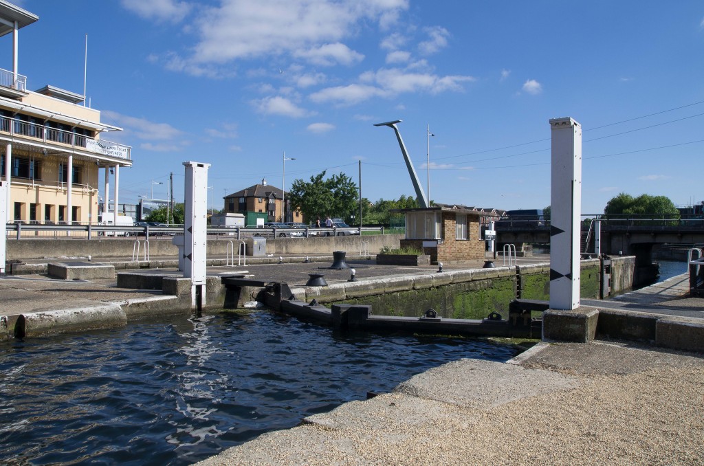
A strange metal light fixture rears up over the road near to Tottenham Lock.
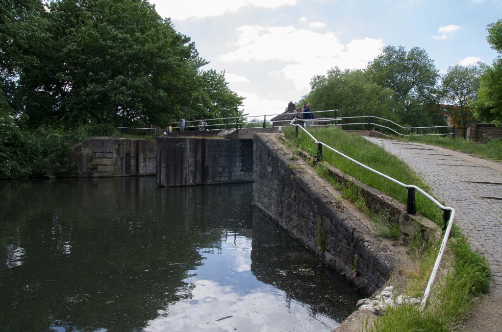
The lock itself is a little more traditional.
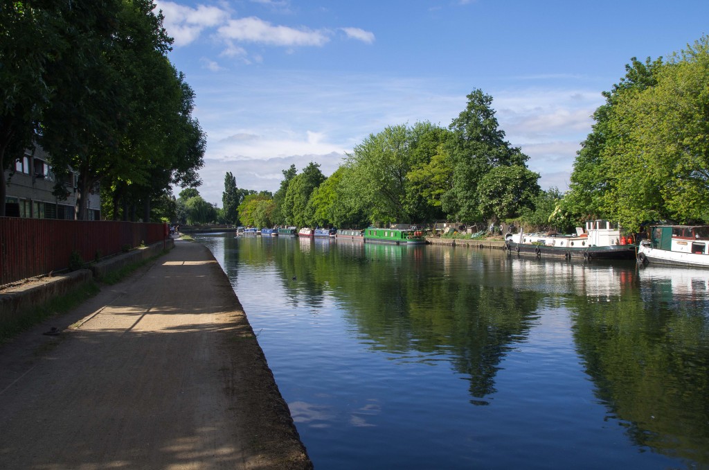
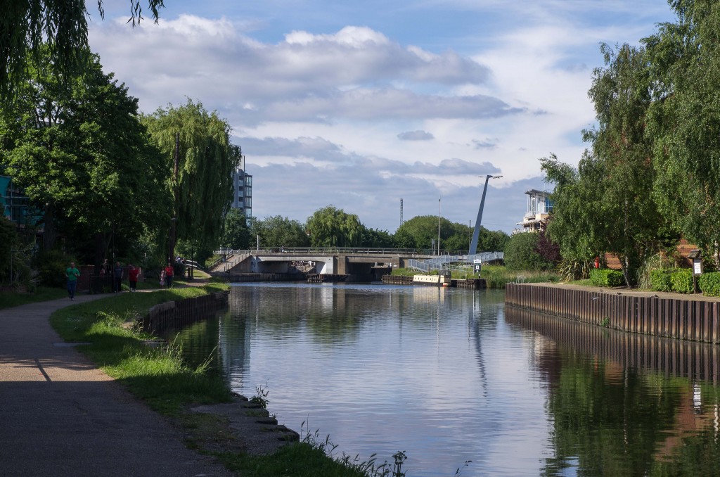
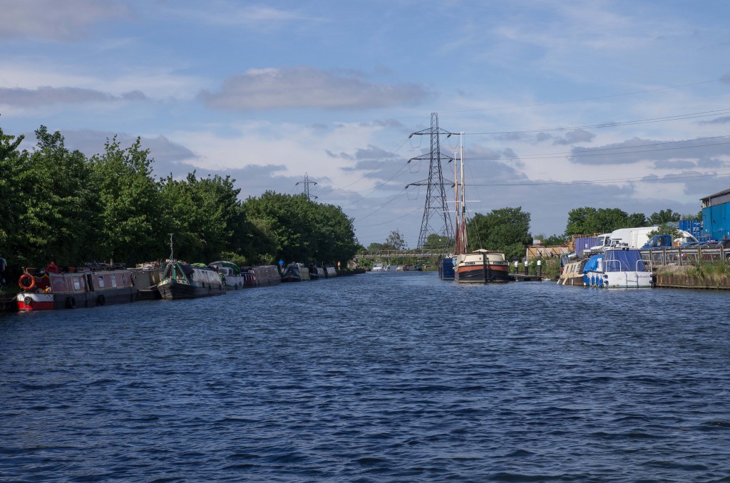
The river opens up a bit above the lock.
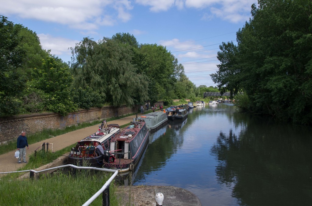
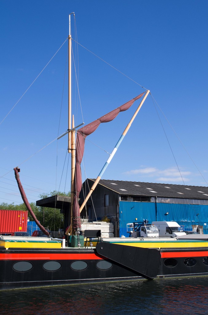
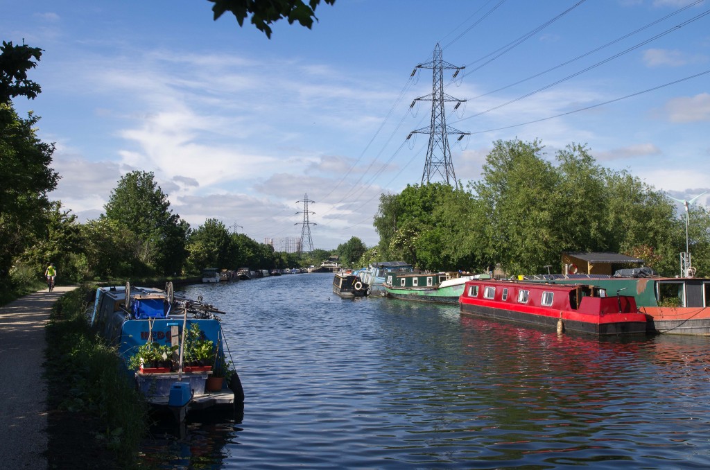
A pair of classic Thames Sailing Barges were moored here on this day. They feature a moveable leeboard and a flat bottom, so they can navigate shallow waters but not drift sideways under the wind.
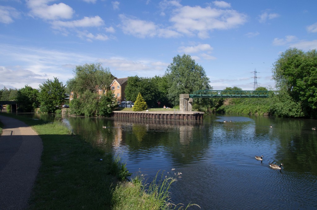
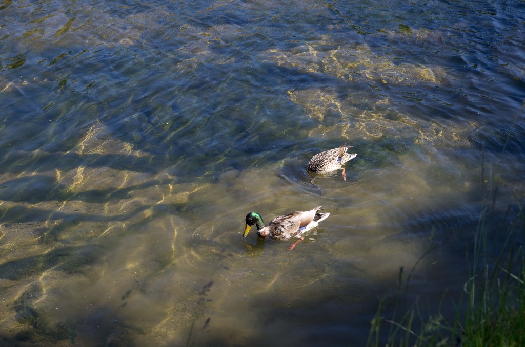
A reminder of how shallow the water can be – some ducks were feeding off plants on the bottom and the ducks were still half out of the water.
As mentioned in the guide book, the east shore of the river is now a series of reservoir embankments.
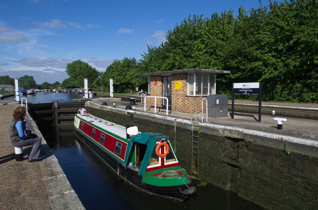
The next item we pass is Stonebridge Lock, north of Tottenham Hale.
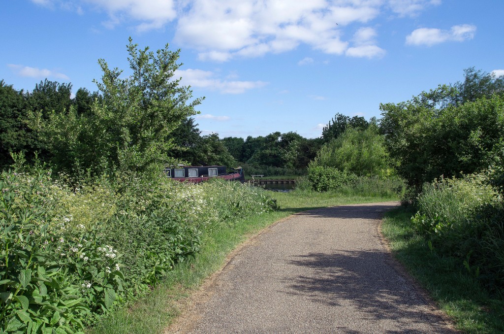
For a short while, we have to move aside a bit as there is a small private boatyard occupying the riverbank. The paths here are well maintained. After a few minutes more, it was time to leave the river and start heading home. The delay on reaching the start meant that it was already well after 5.00 pm and, due to engineering work at Northumberland Park, there were no trains running today, so a bus was required to reach the underground (at Tottenham Hale) followed by a different route back to avoid Clapham Junction (just in case…)
Data from Google MyTracks:
Name: Lea Valley, Three Mills To Northumberland . Park
 Total distance: 13.99 km (8.7 mi)
 Total time: 3:04:17
 Average moving speed: 4.93 km/h (3.1 mi/h)
 Max elevation: 130 m (426 ft)
 Min elevation: 18 m (61 ft)
 Elevation gain: 339 m (1111 ft)

