
And, on a hot day in early August 2018, the final section of the Thames path, from London to the source.
Today’s walk is around 12.5 miles, from Cricklade to the Source. Followed by a 1.5 mile backtrack to the railway station at Kemble.

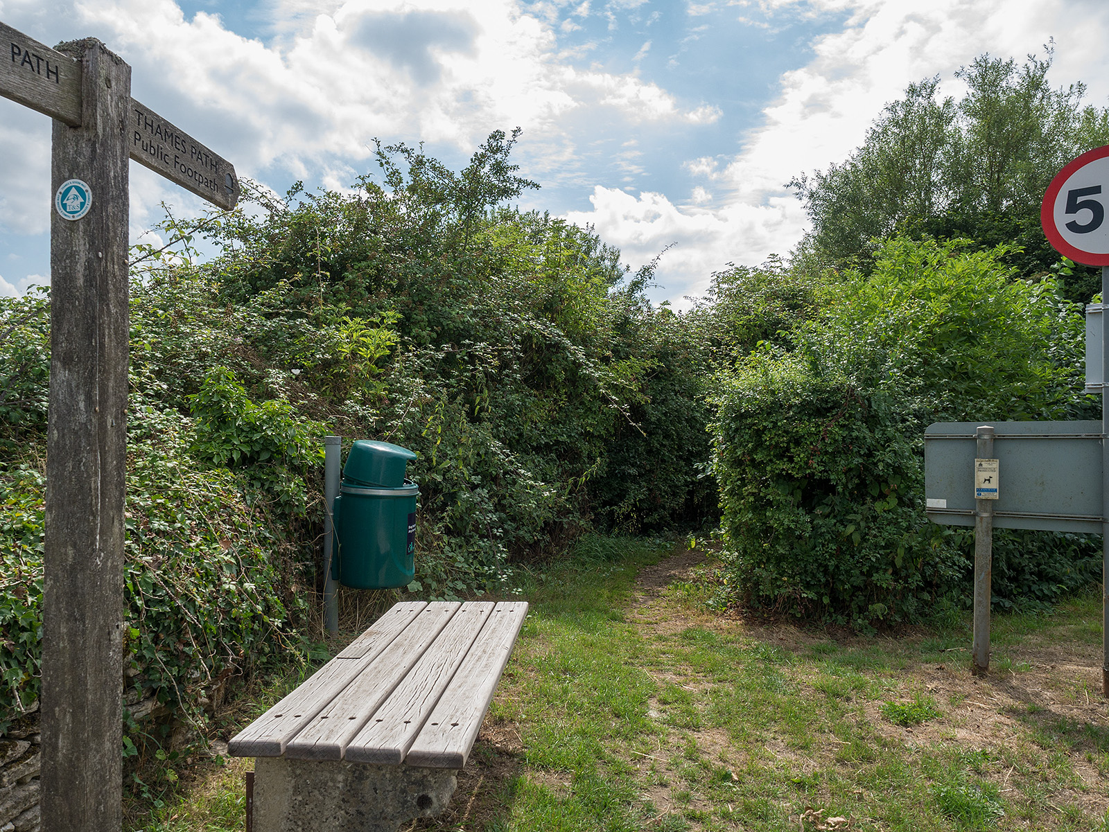
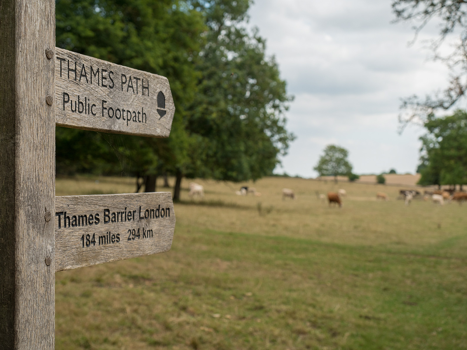
We start at the end of the last walk. Instead of turning left to reach the bus stop, we turn right to head north.
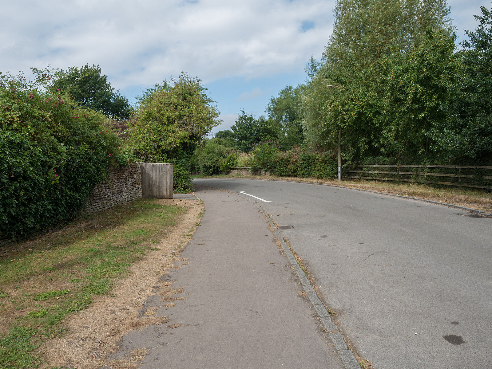
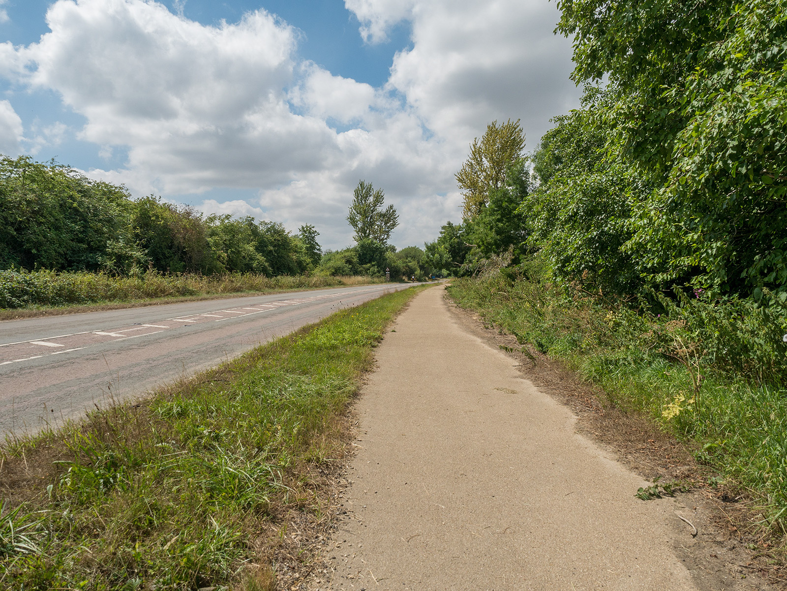
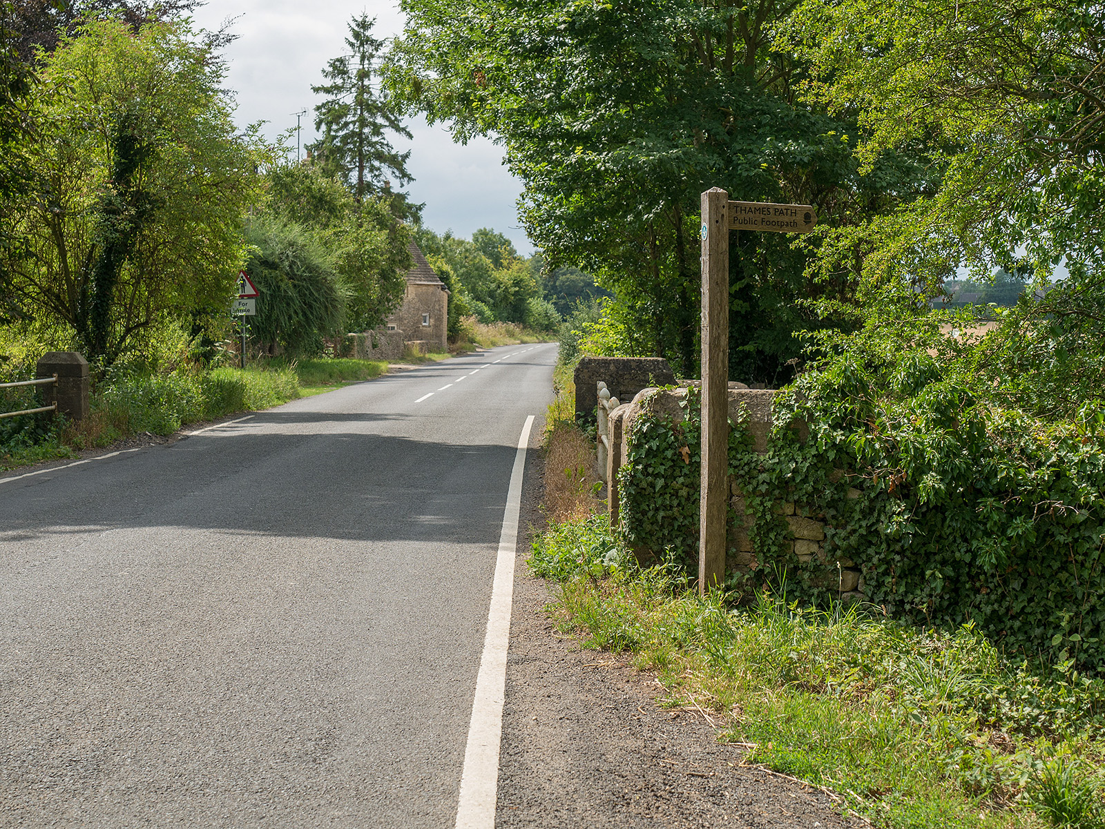
An initial section of the path follows a quiet road.

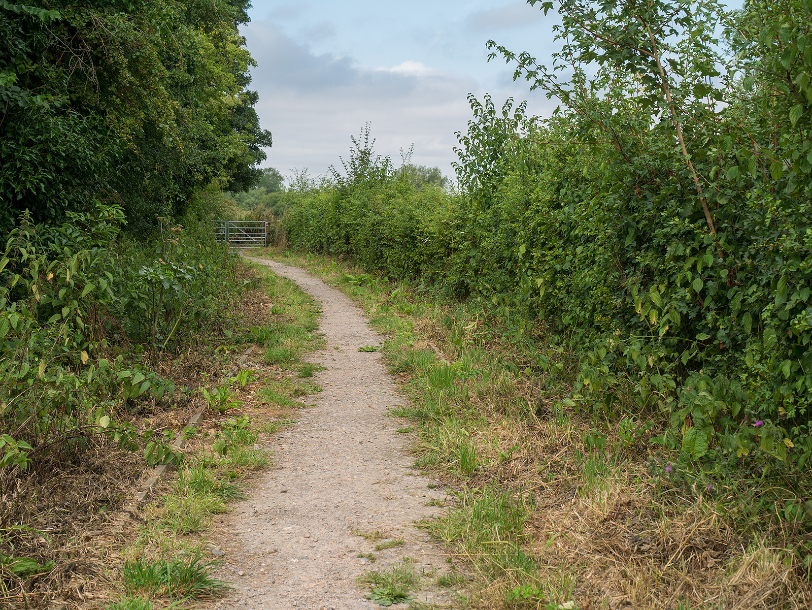
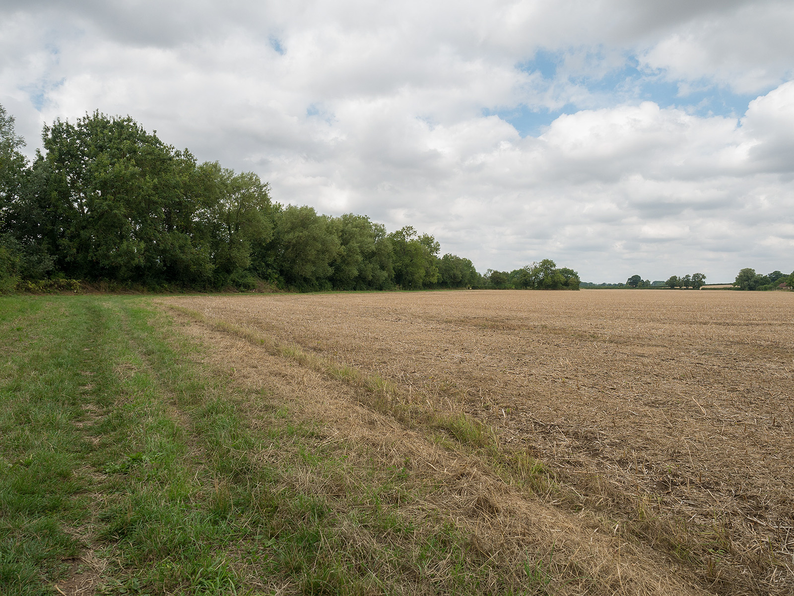
Then we leave the road for a short stretch in the fields.
Path way curves back towards Cricklade outskirts.
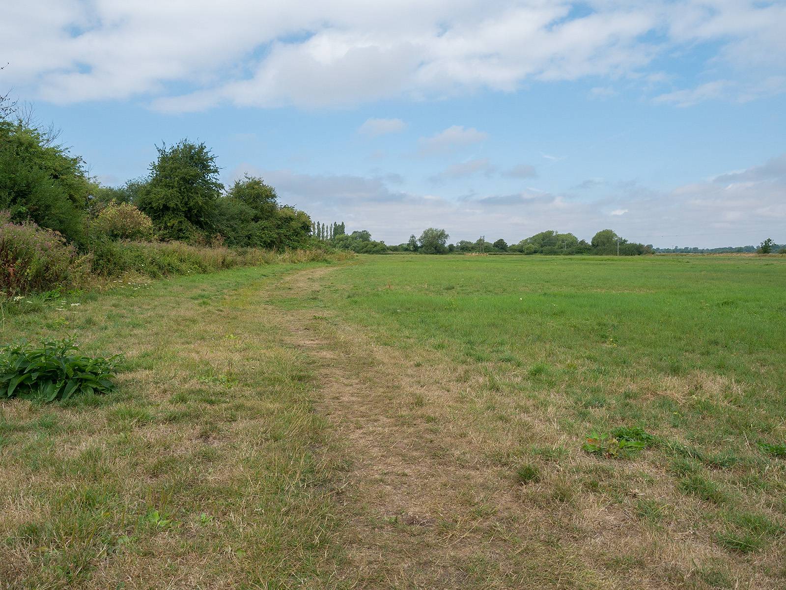
The we are in the fields again.
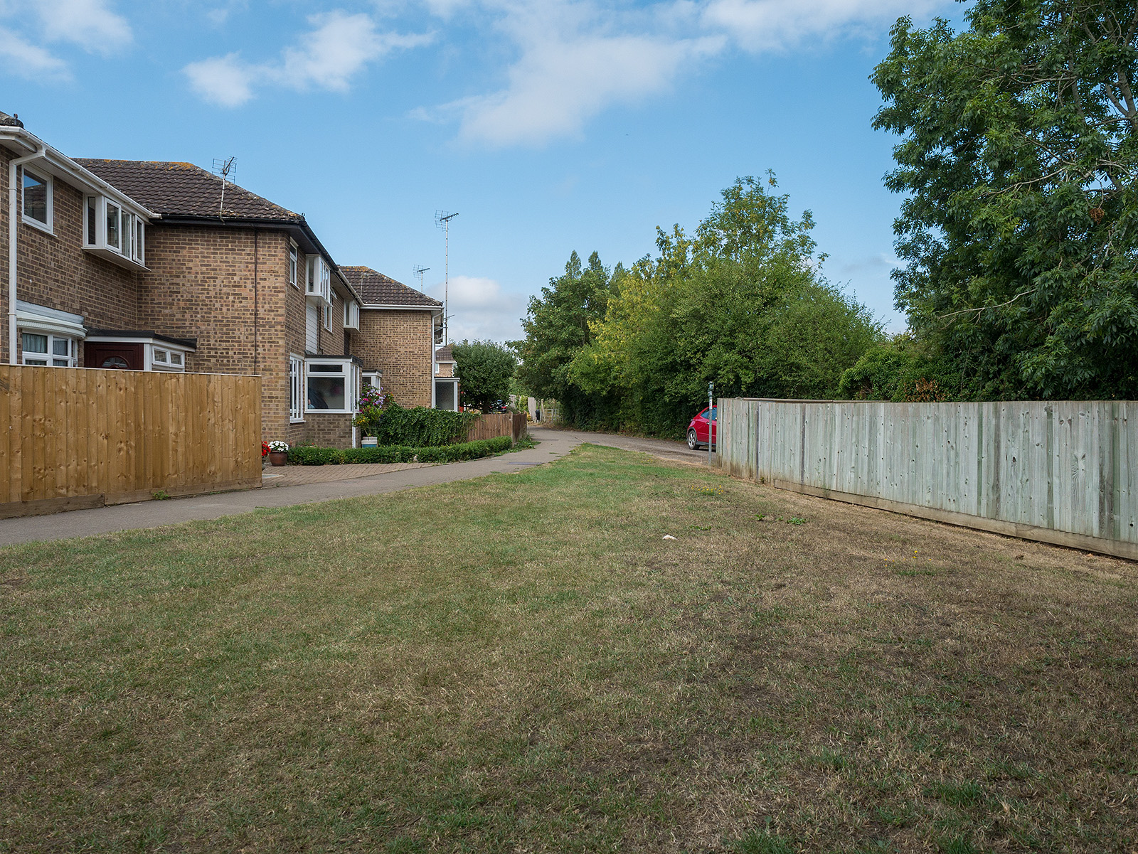
Followed by another urban stretch across a grass verge!
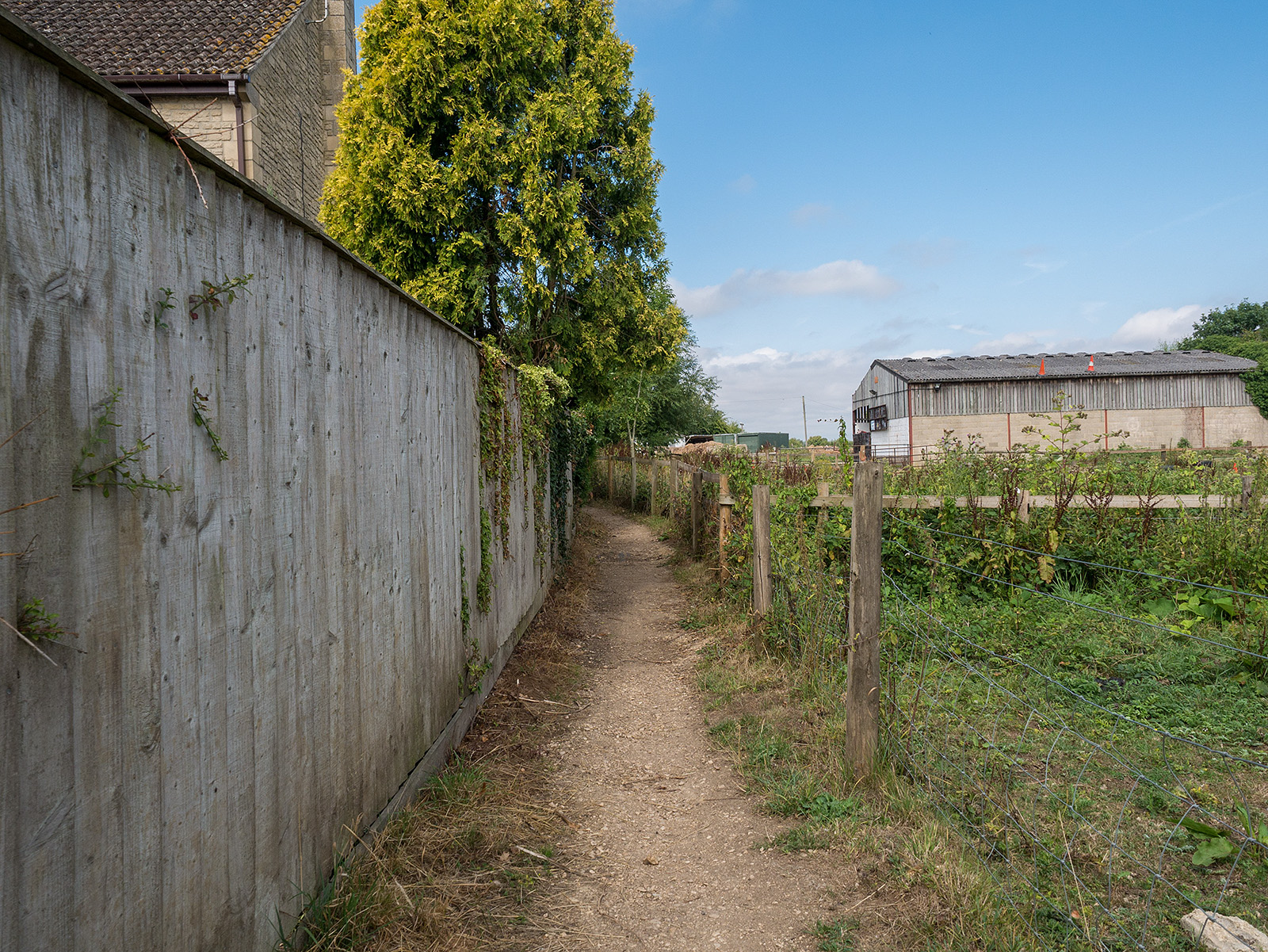
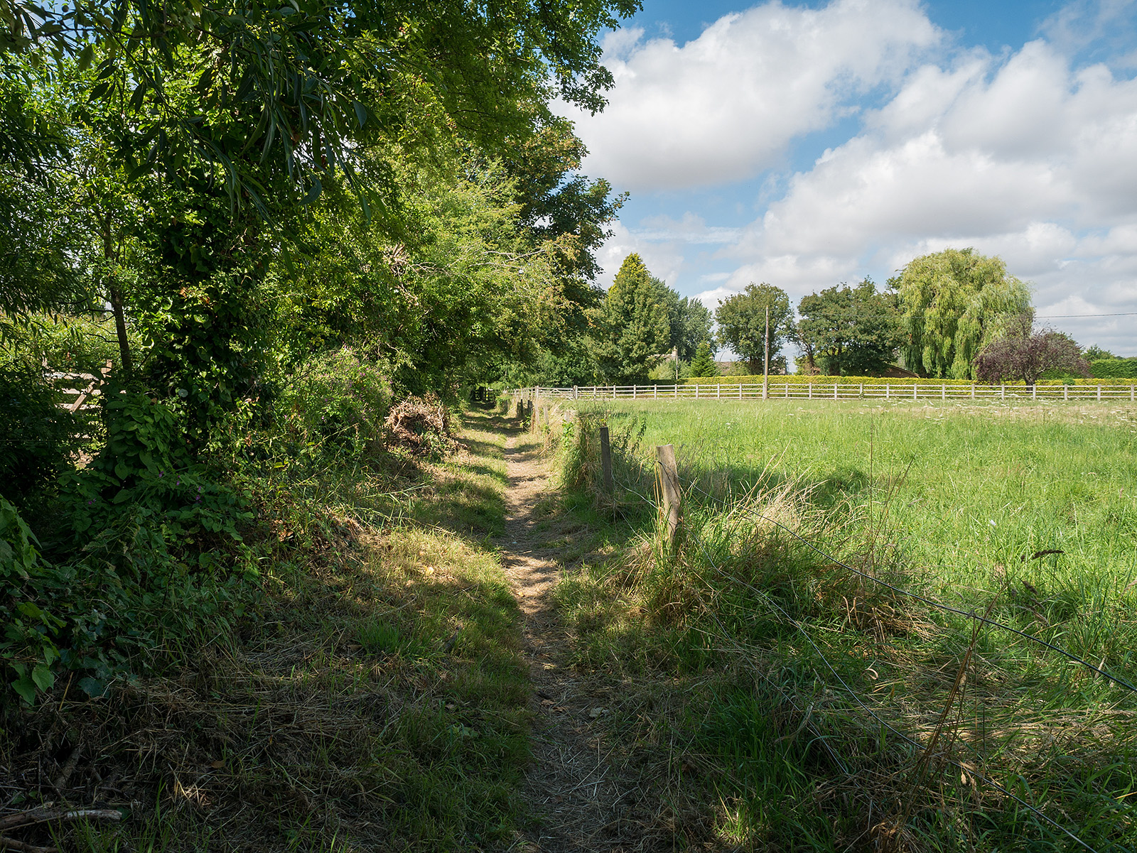
A nice path next to the fence takes us ever further out of Cricklade.
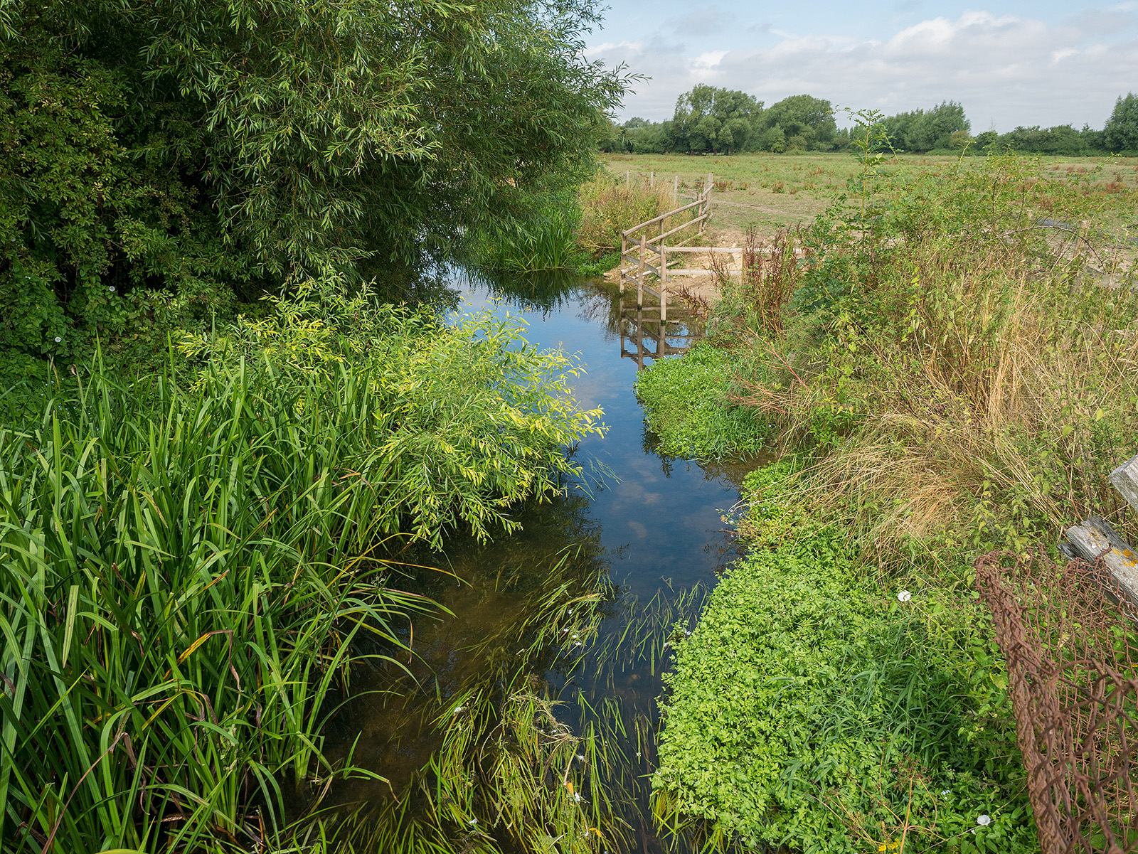
And we get the first sight of the river again.
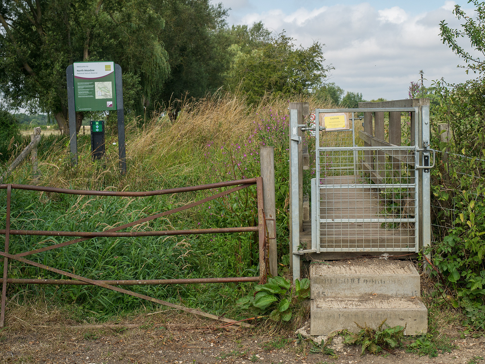
Entering North Meadow.
The path joins the Thames Bridleway after North Meadow.
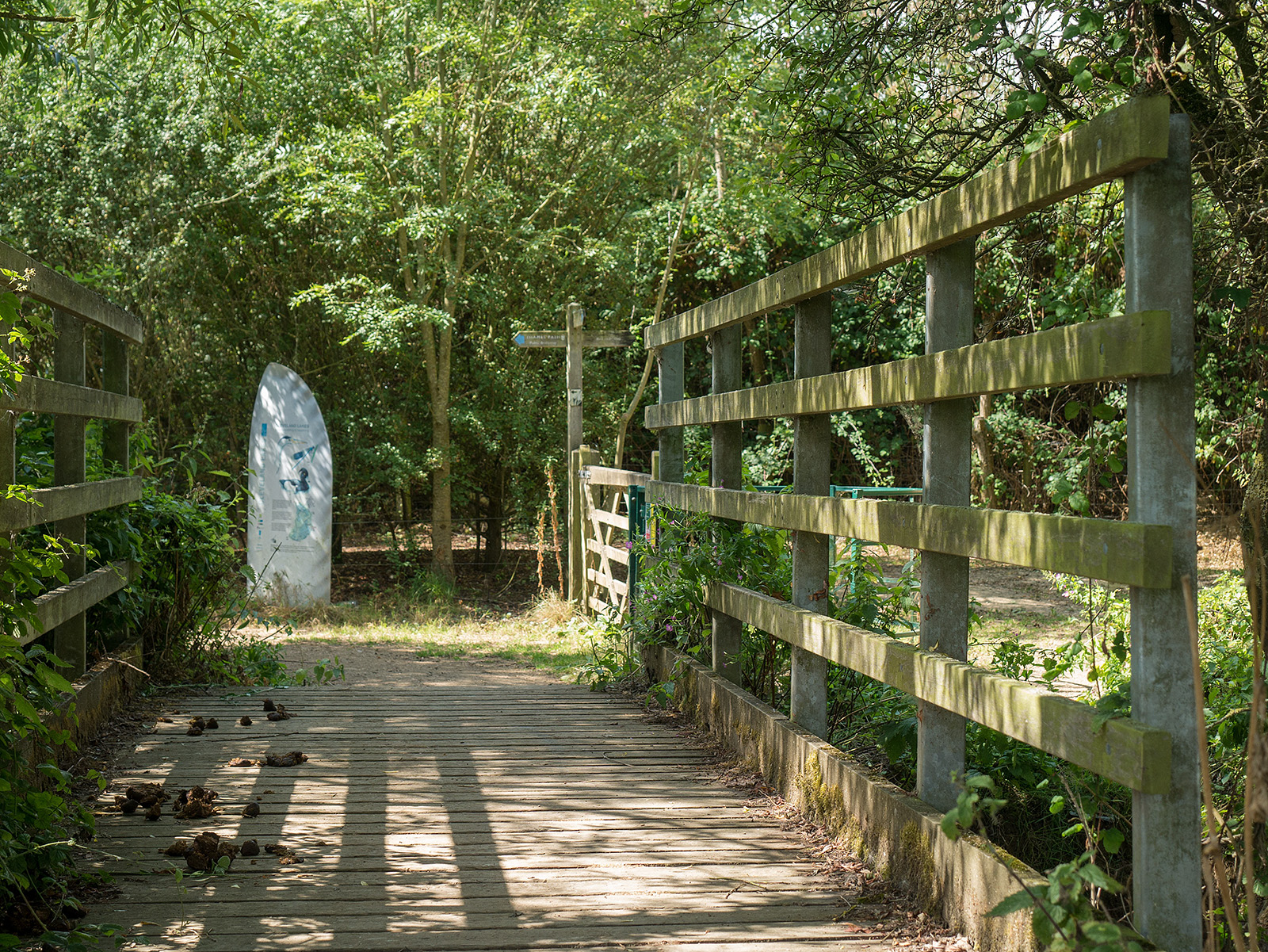
Junction with the bridleway
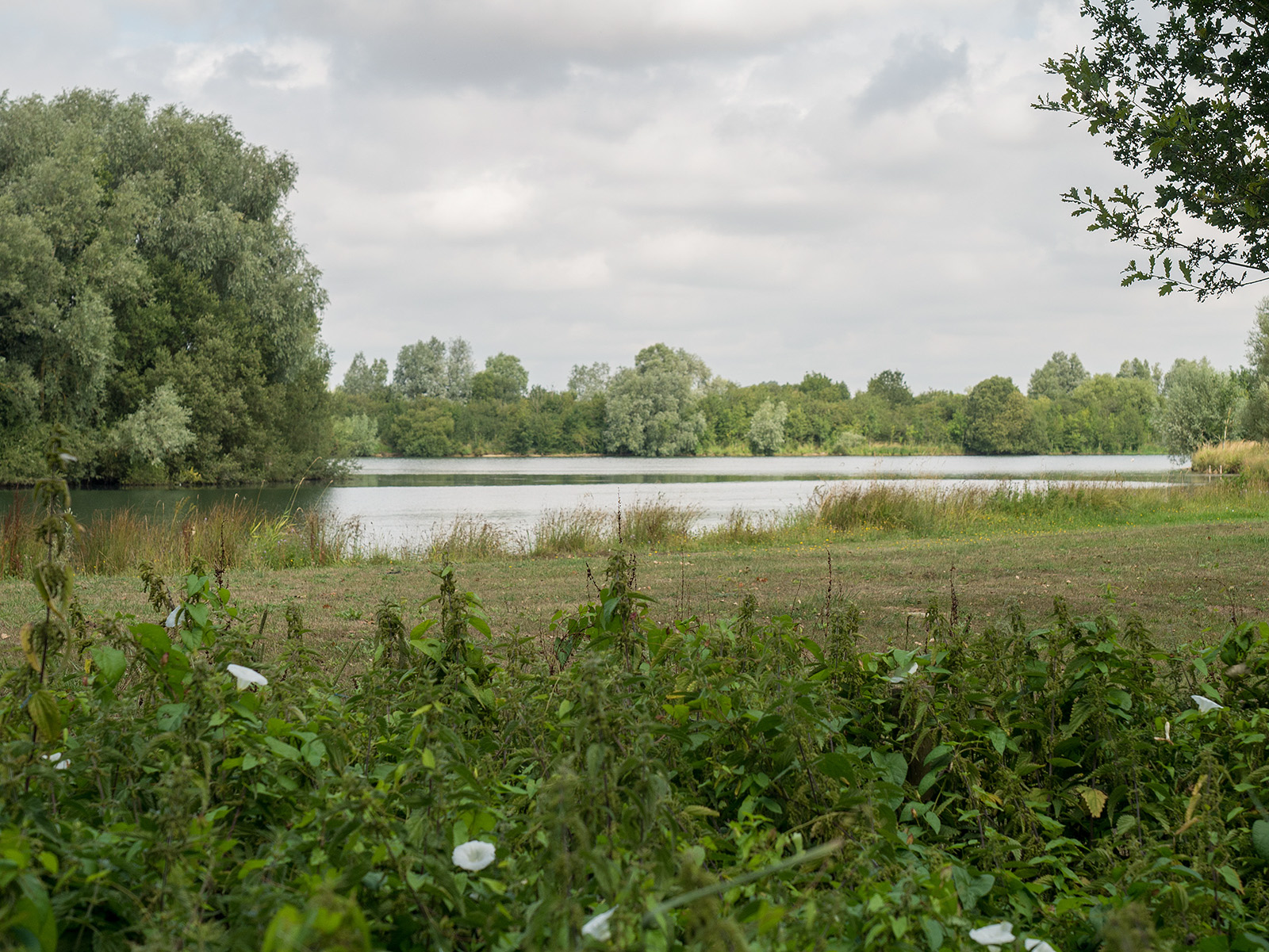
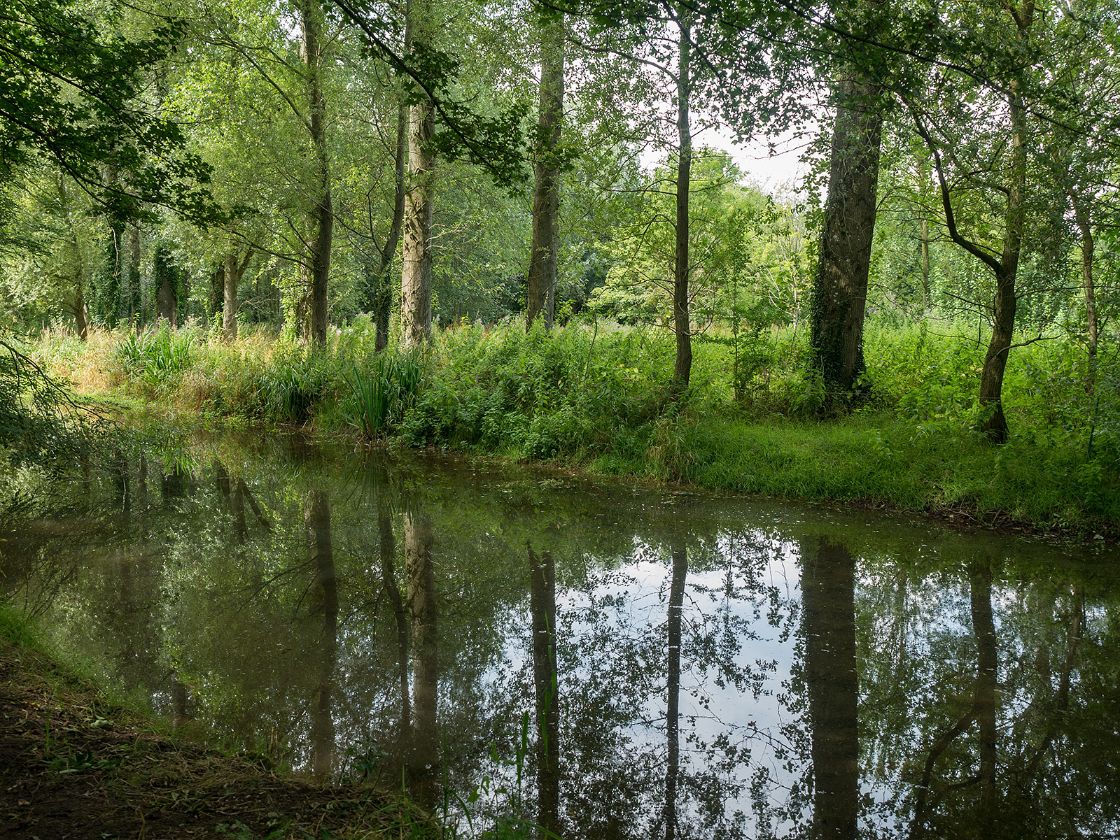
We pass by some lakes.

Cleveland lakes.
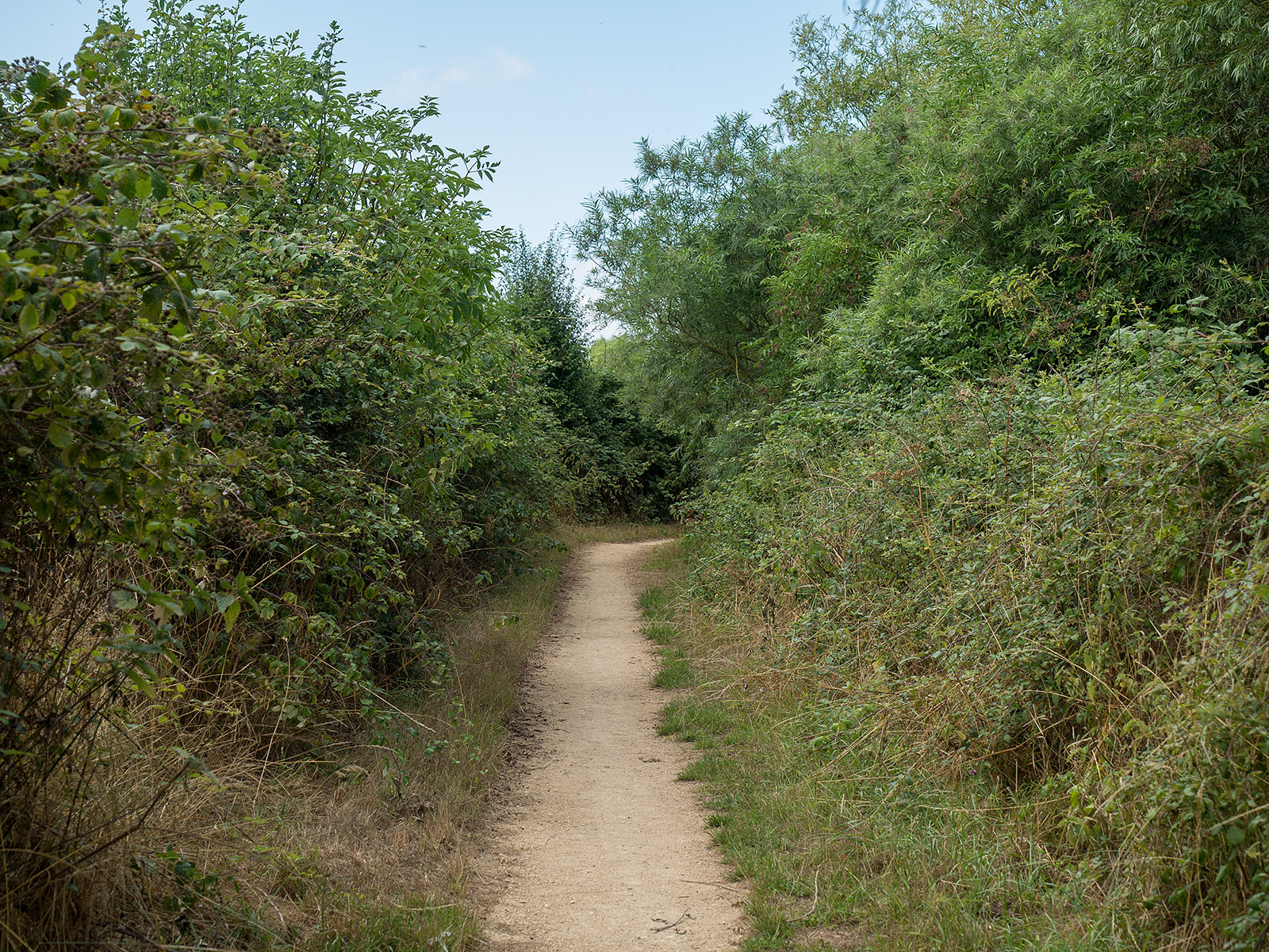
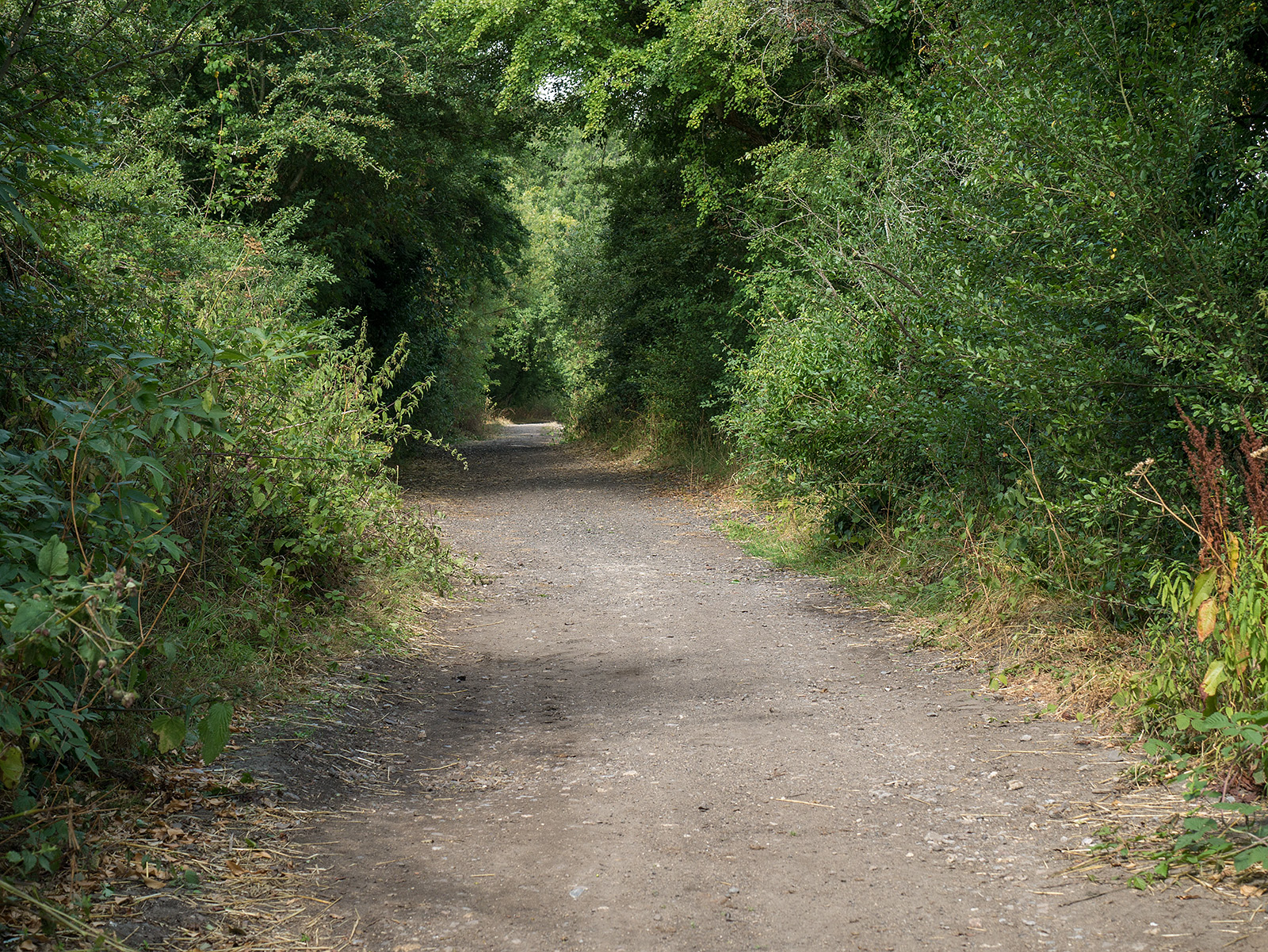
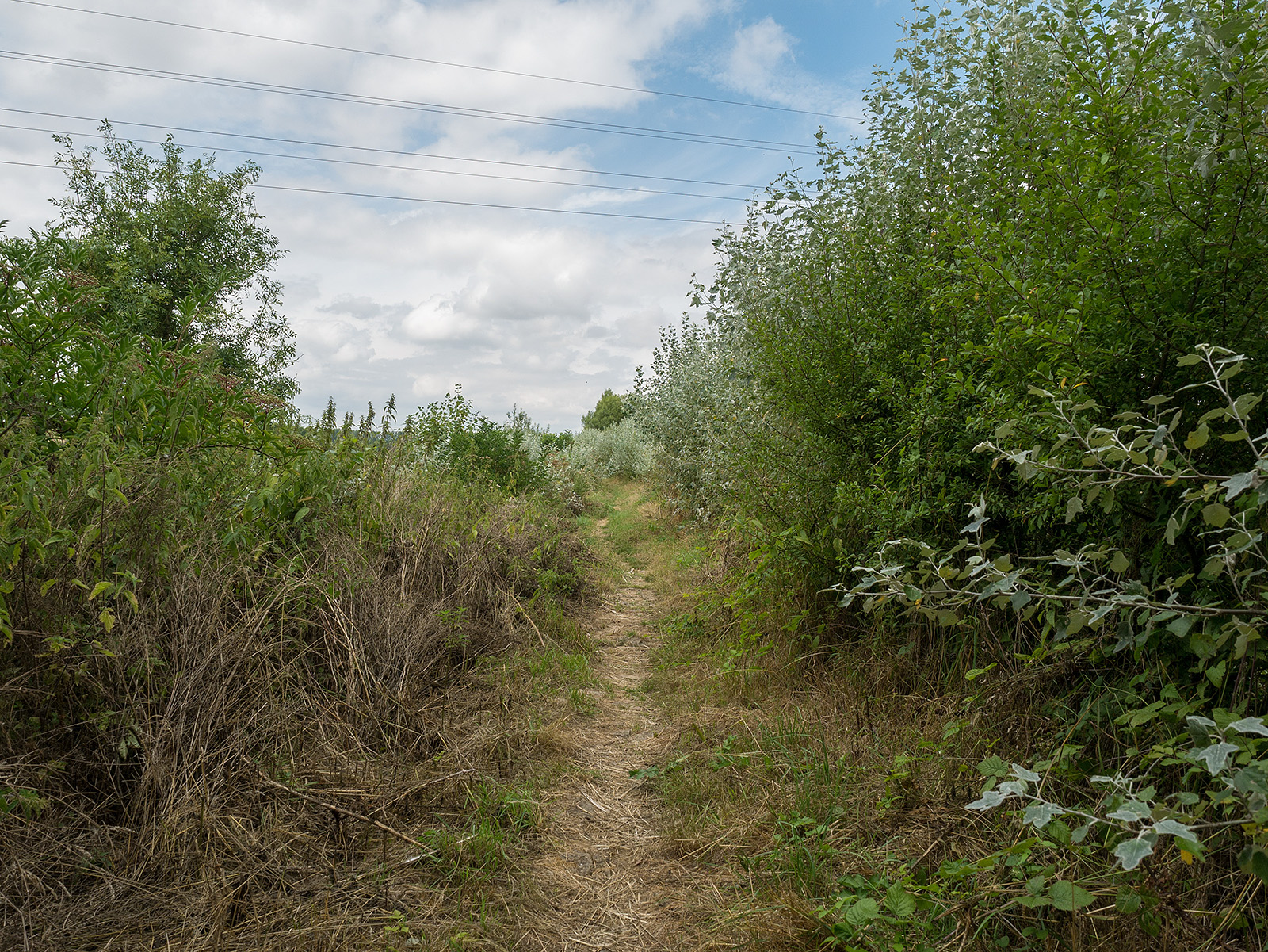
Enclosed path near Waterhay
Be careful not to miss the sudden turn northwards to cross the fields towards Ashton Keynes.
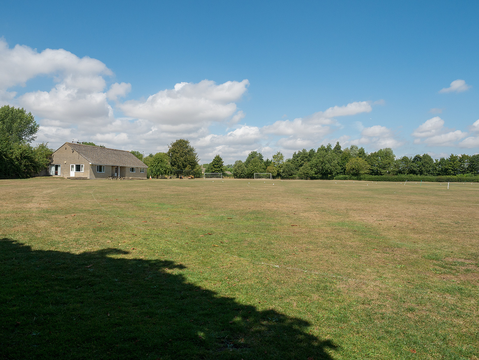
The path crosses Ashton Keynes sports field.
Hidden well away down a road is the next gate.
The path passes close to several properties.
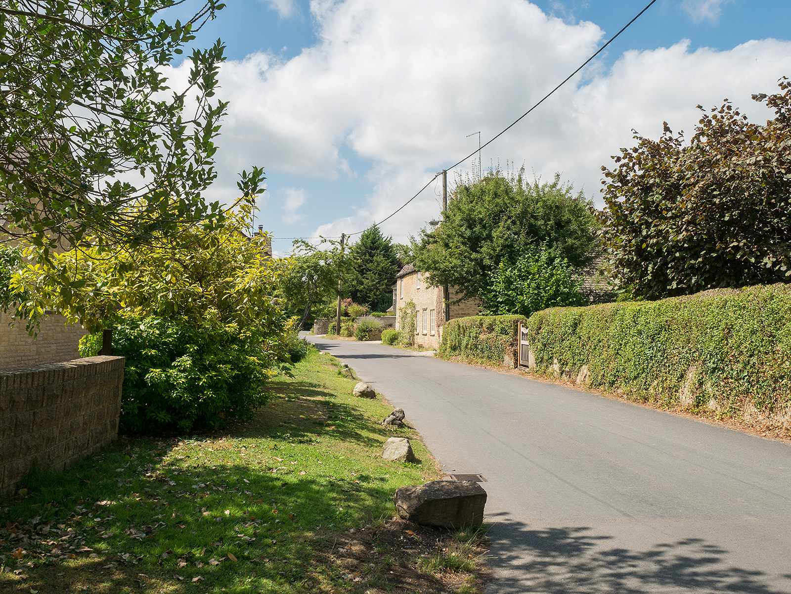
A shot stretch along Back Street in Ashton Keynes. Keep going…

A choice of Church Lane or Church Walk both end up as this picturesque scene in Ashton Keynes.
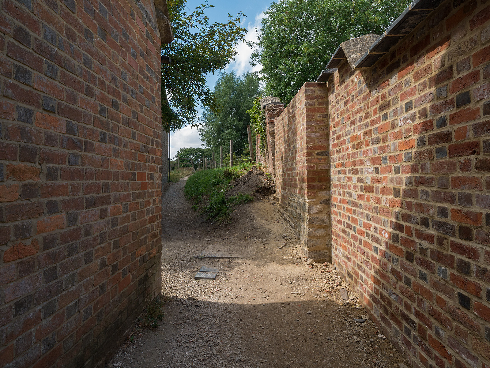
A passage between two buildings leads west out of Ashton Keynes.
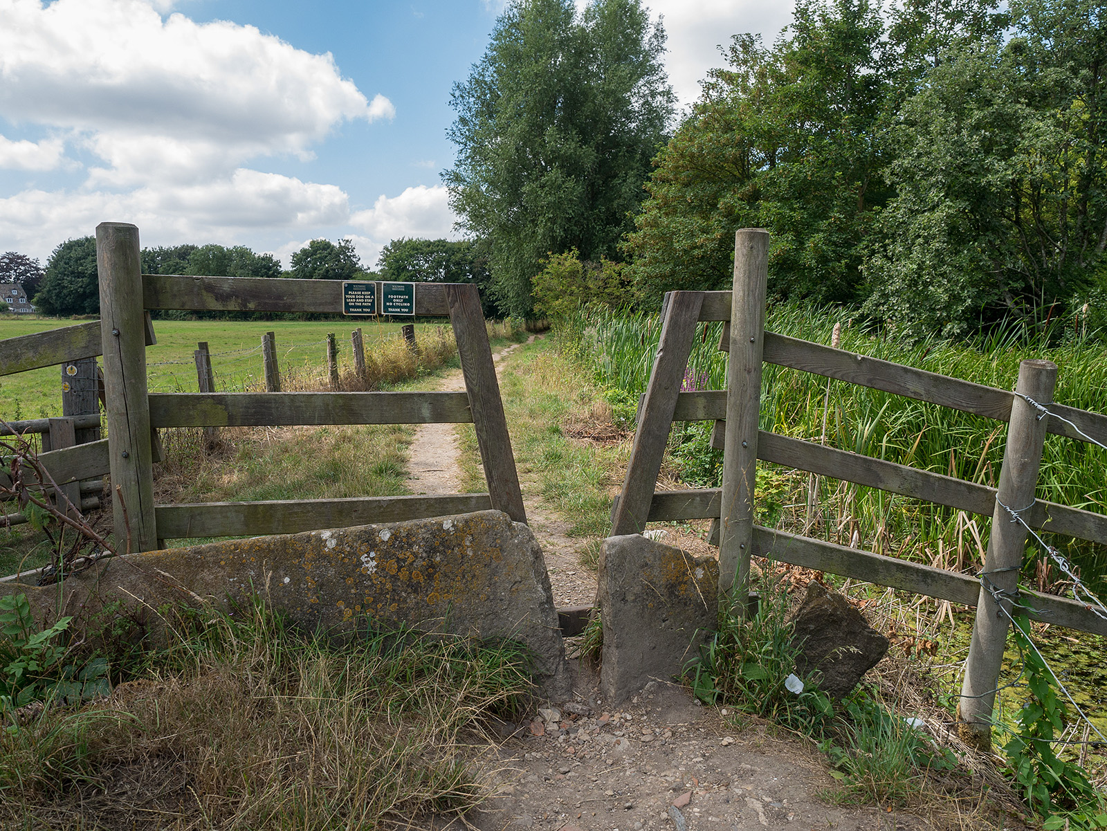
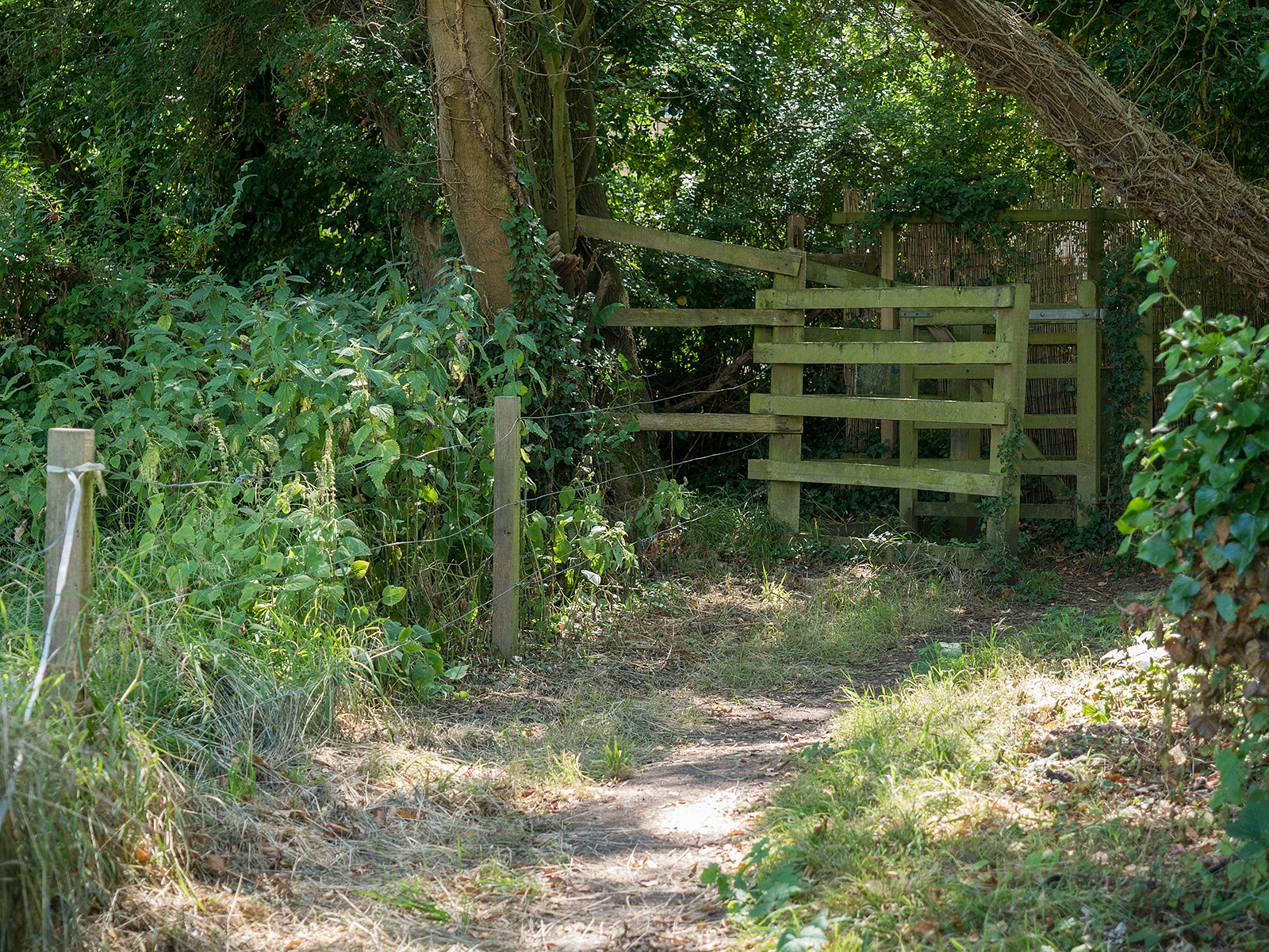
Vee- cut fence on the exit to Ashton Keynes.
The Thames was quite low this day (a hot day in early August, in the middle of a heatwave).
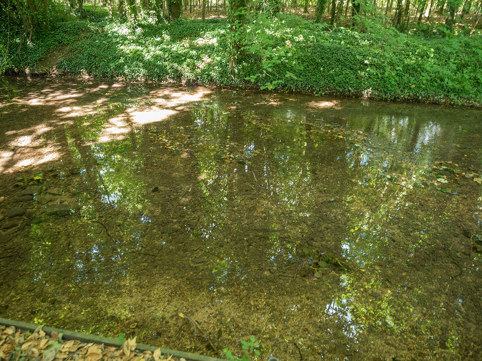
Very clear waters as the Thames flows in a narrow brook between the lakes.
A short stretch on Spine Road W between the Lower Mill Estate and Neigh Bridge Country Park.
After a short wooded section the path emerges into fields.

The bridge is probably more needed when there is water here…
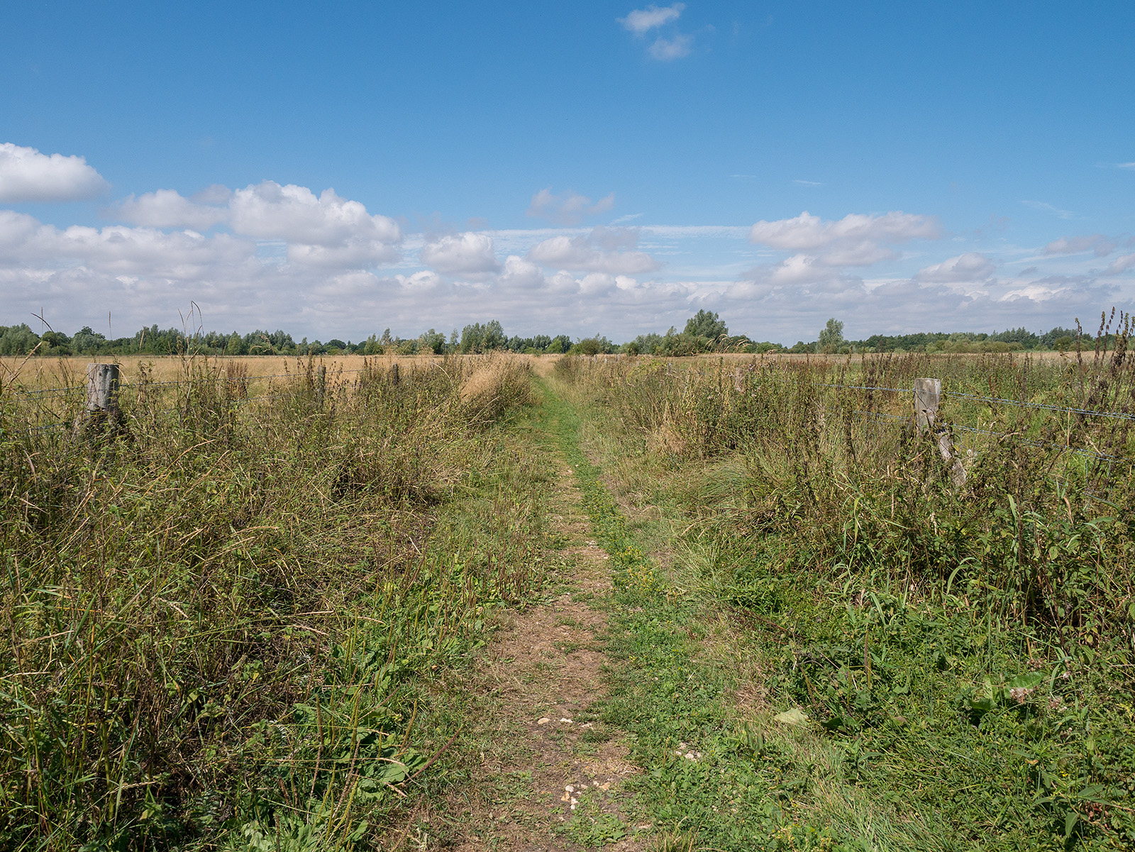
With the river on the left, the path crosses more fields.
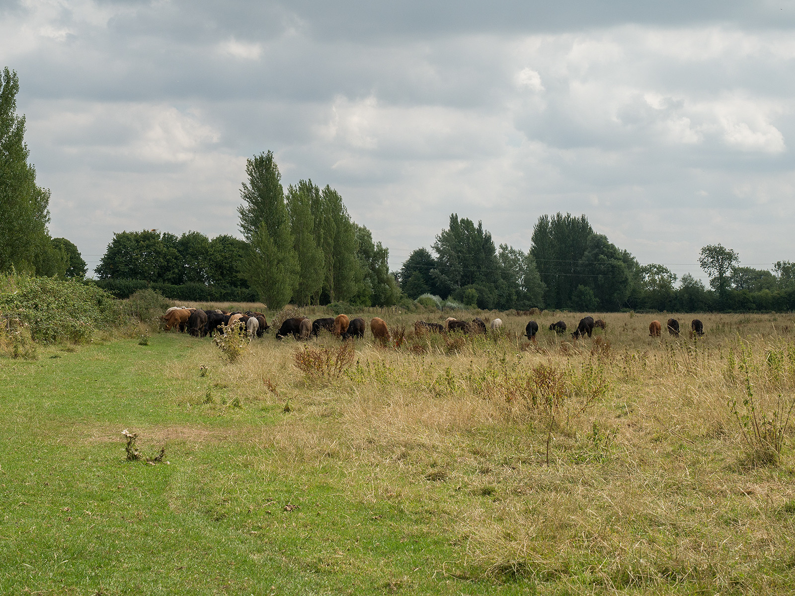
The path was near to the fence on the left but the cows seemed a bit disturbed so I skirted around them.
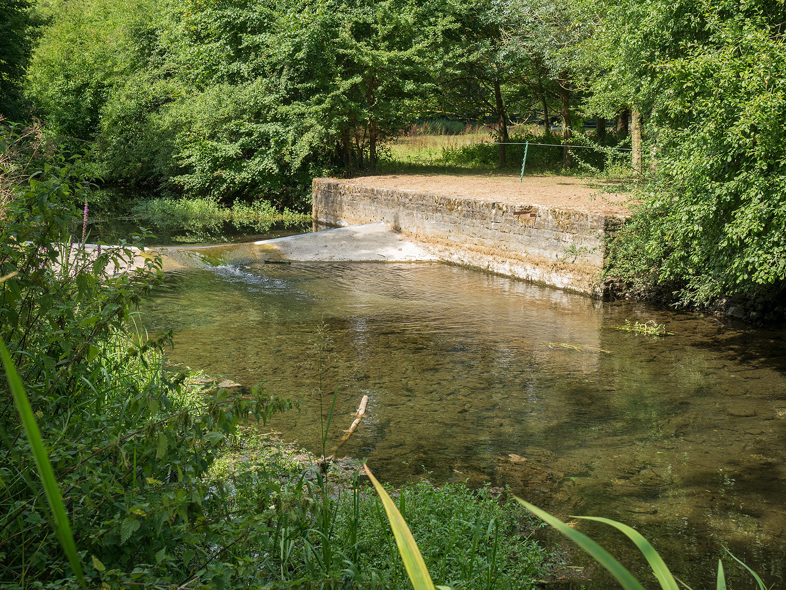
A weir near Bittenham Springs.
In the woods approaching Ewen.
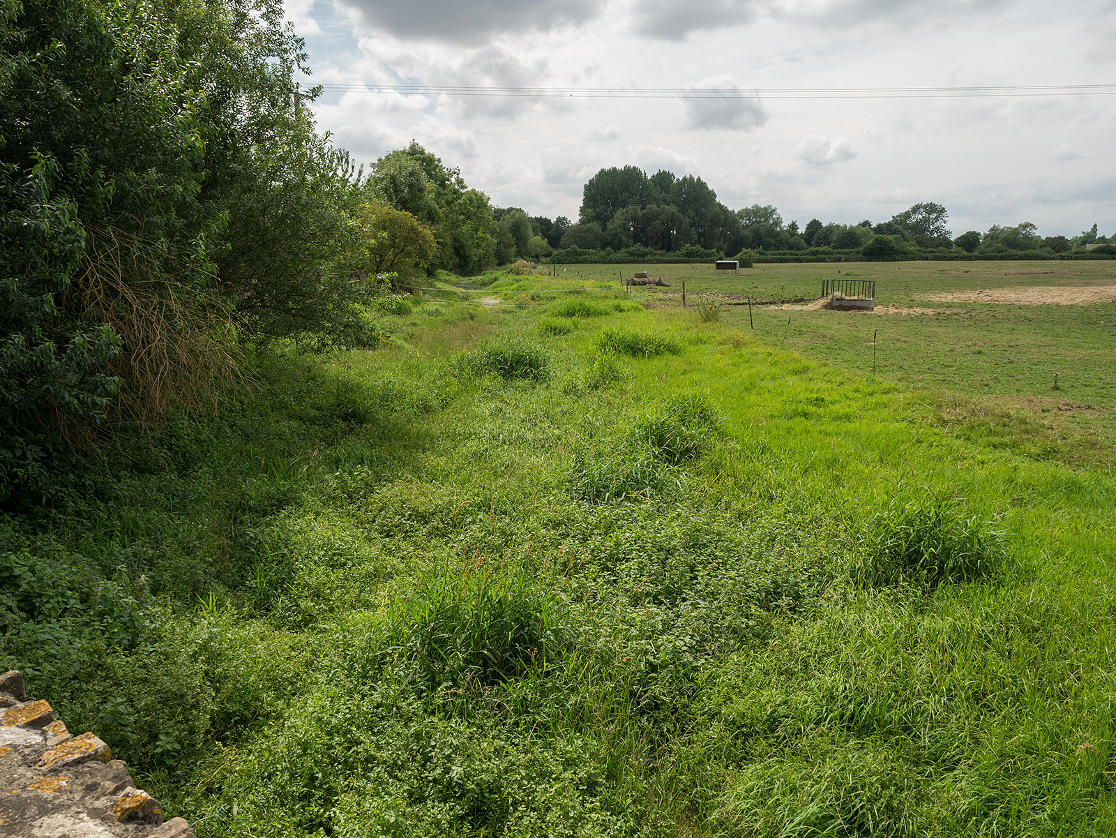
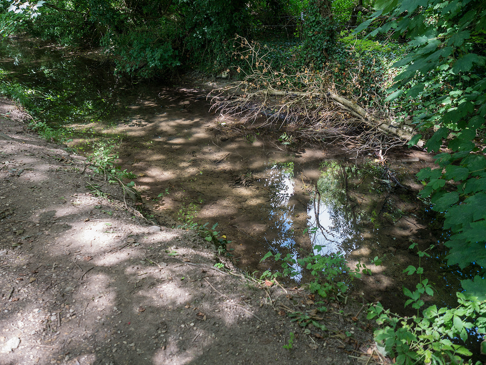
Just as we turn away from the river towards Ewen, the stream seems to be almost dry.

Road junction in Ewen. We go left.
After a short stretch on the road out of Ewen, there is a slight descent to a wooded path by the side of the road.
Crossing the road, the rivers turns north-northwest.

The river (out of sight on the left) passes along the edge of several fields.

That’s the end of the water – a long period of hot weather has dried up the Thames from the north east of Kemble to the source.

The path crosses a field before needing a quick crossing of the busy A433 – gap in the fence near the telegraph poles.
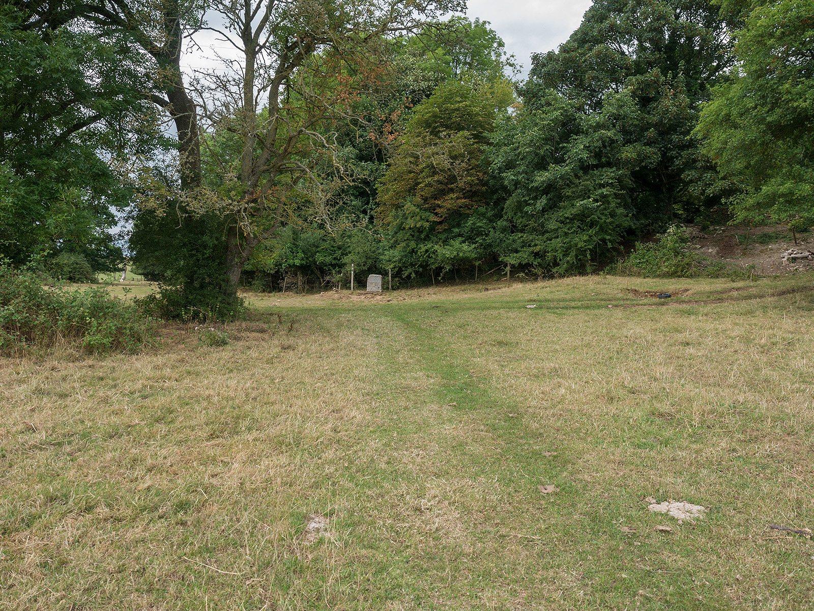
After crossing another field and through a gap in a stone wall, the end of the field comes into view and there is a stone there….
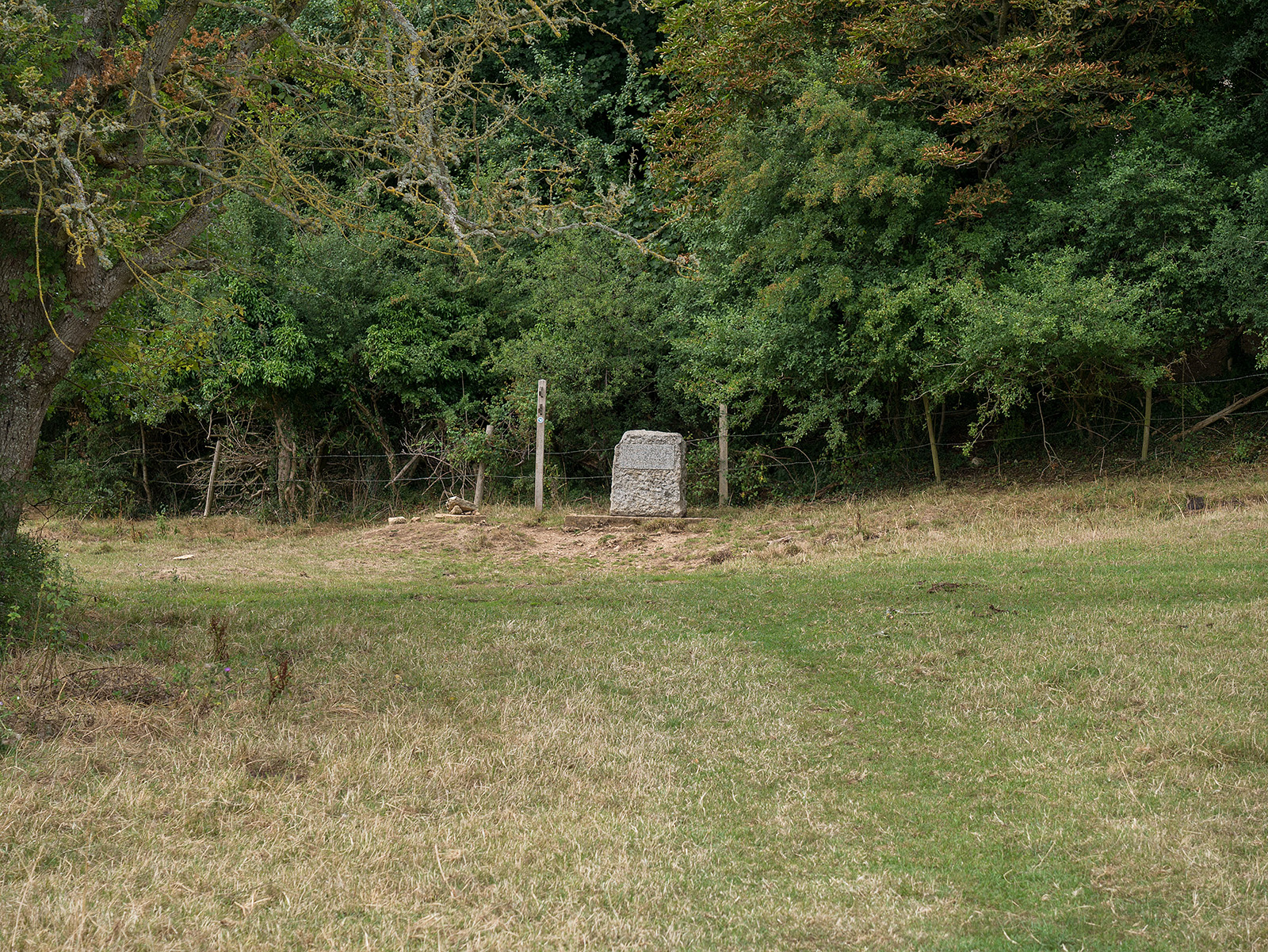
The Head of the Thames – end of the walk.
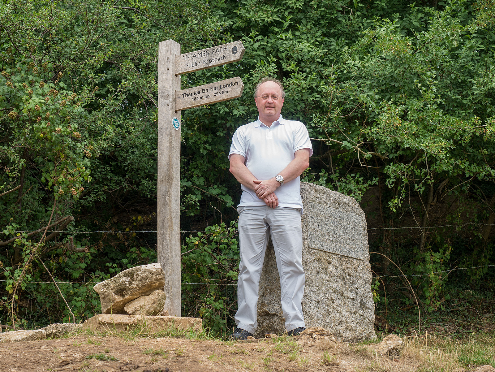
Just to prove that I made it there!

The old Ash tree is gone (removed a few months prior), but the stones around the spring remain as does the inscribed stone. A few months earlier, this area was flooded.
The inscription on the stone reads:
THE CONSERVATORS OF THE RIVER THAMES
1857-1974
THIS STONE WAS PLACED HERE TO MARK THE
SOURCE OF THE RIVER THAMES
And there we have it. The Thames walked end to end!
The end of the Thames Path walk. 184 miles (plus a few extras east of Greenwich). Where next?